EVCco
Senior Member
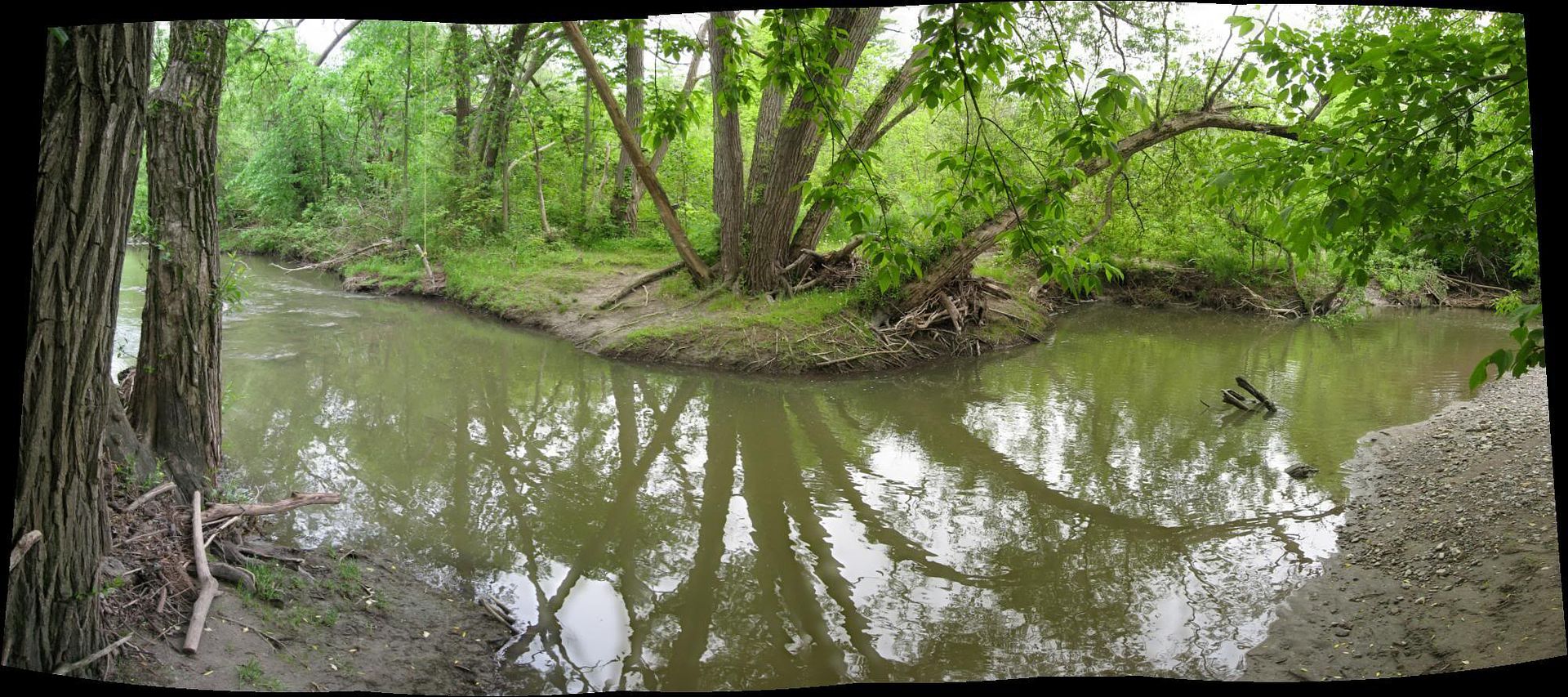
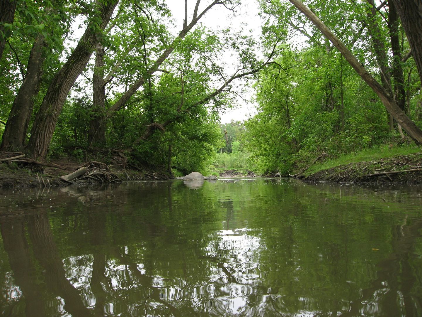
Highland Creek, West Branch - left fork
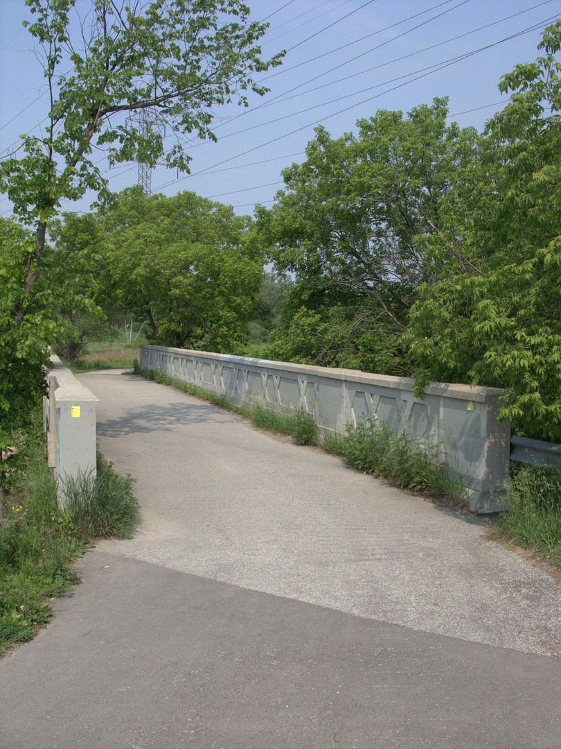
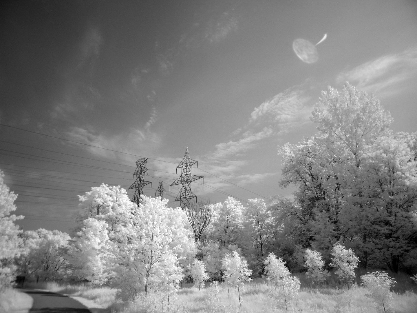
I flip a coin and head west under McCowan Road:


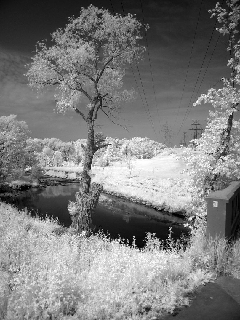
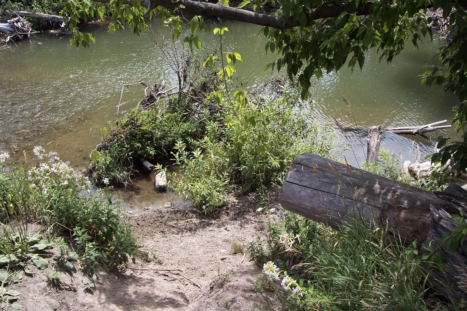
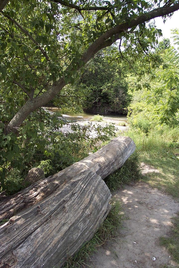
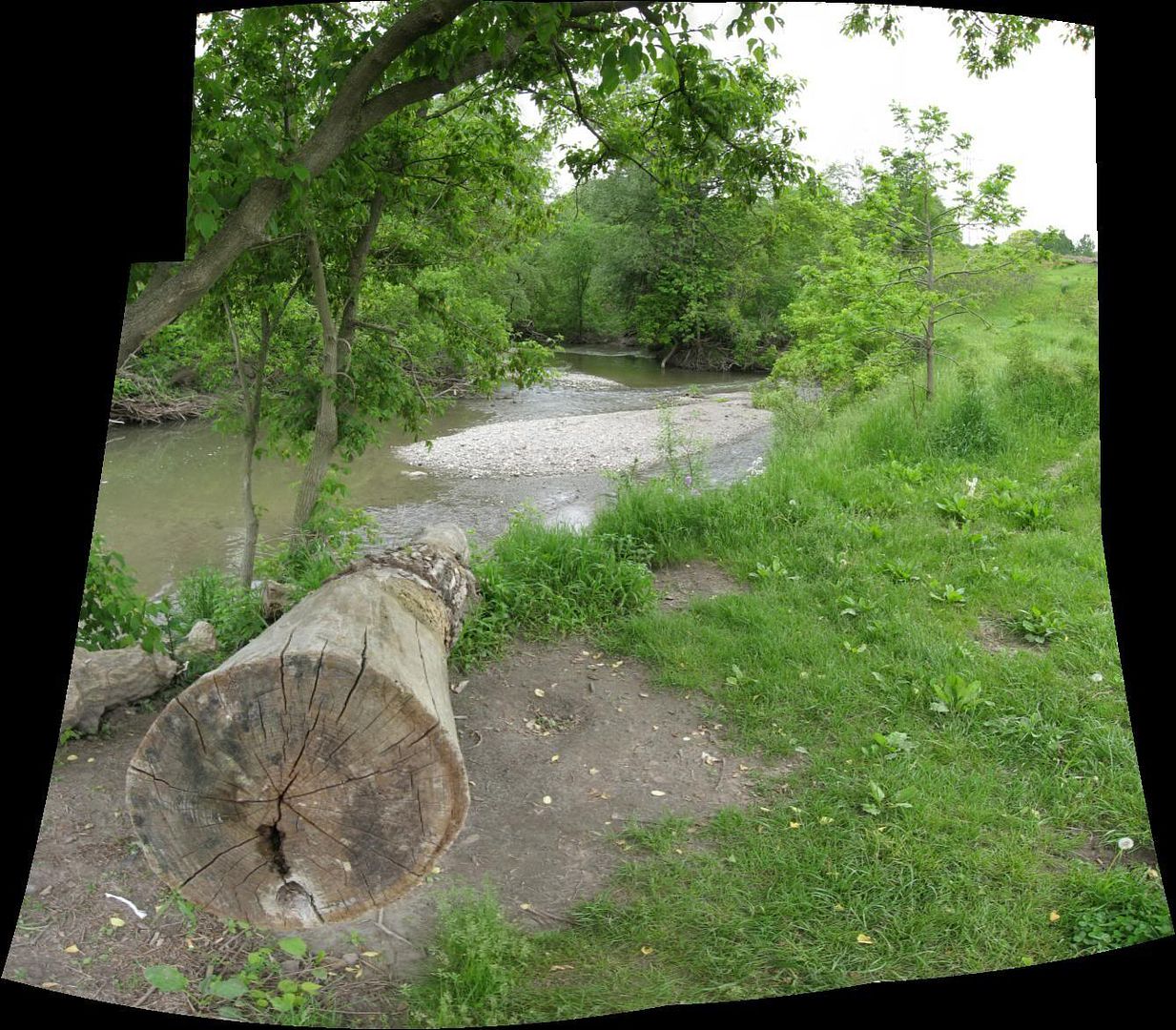
Trekking towards the CP rail culvert:


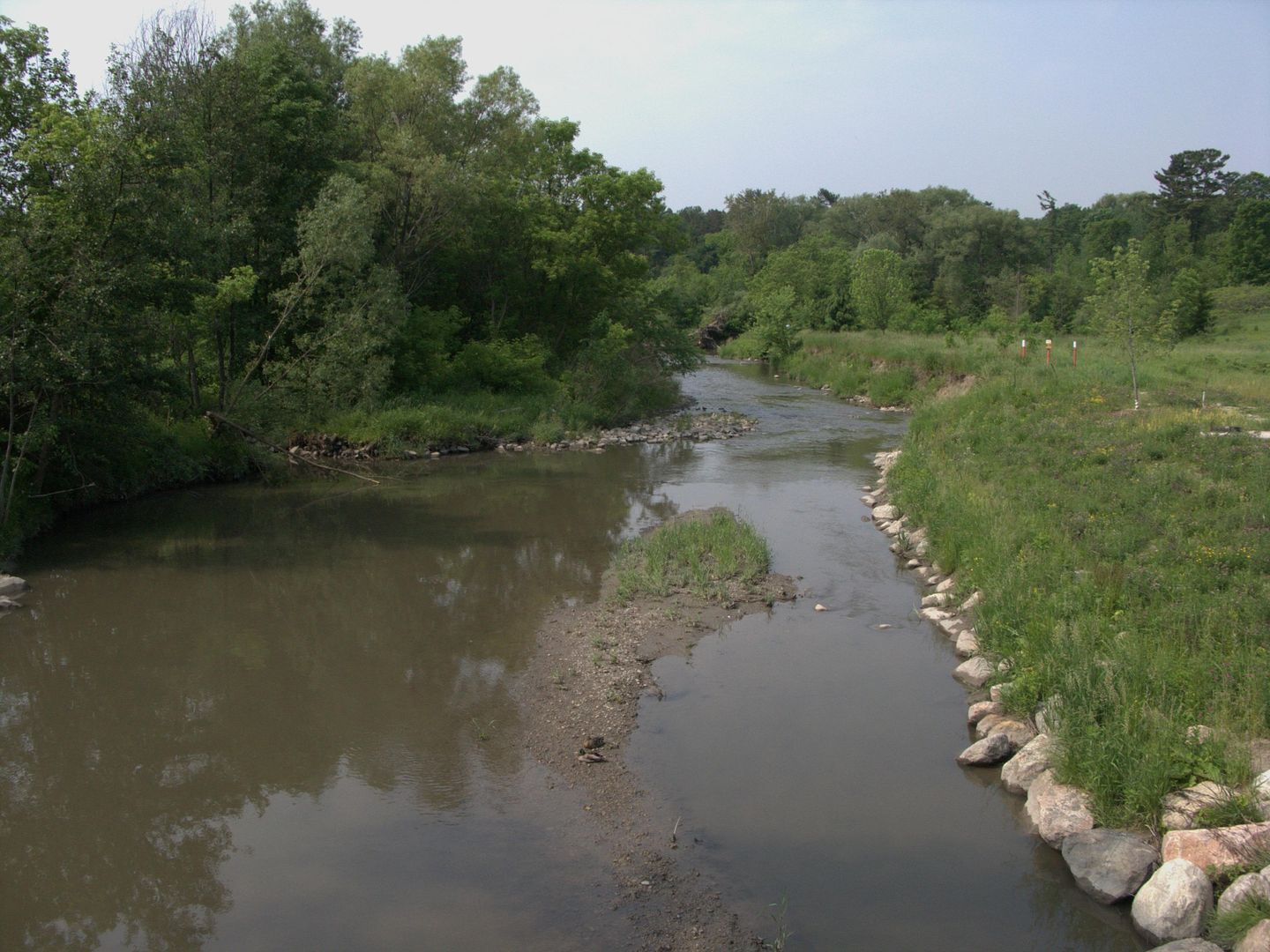
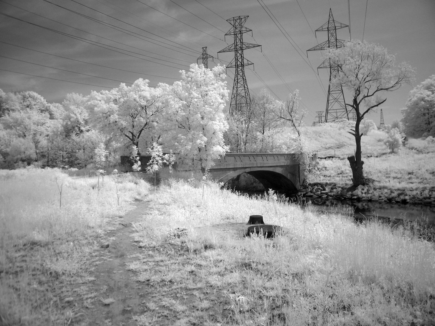
Turning north through the mighty Brimley Cataracts:


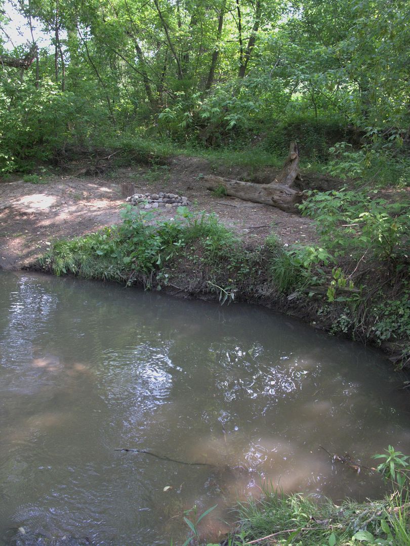
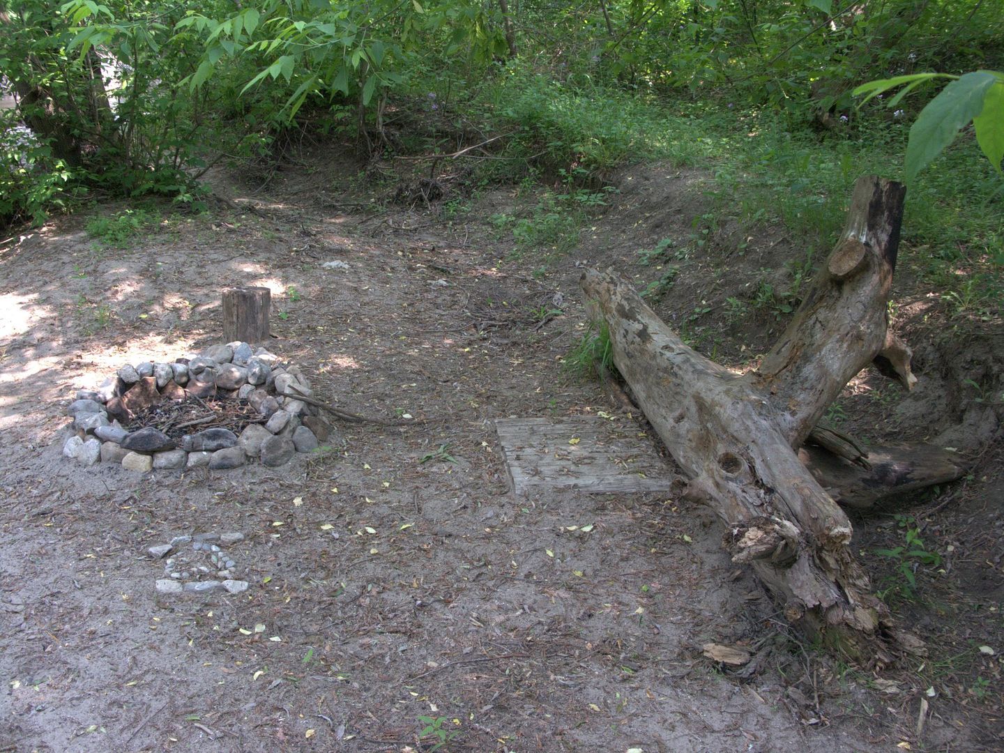
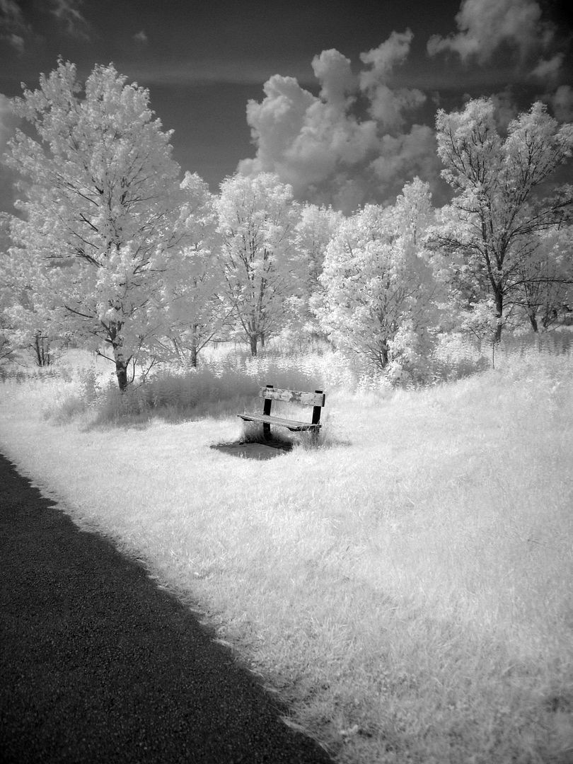
Into North Agincourt Park:


North from Huntingwood to the branch terminus at Finch Ave:


I flip a coin and head west under McCowan Road:
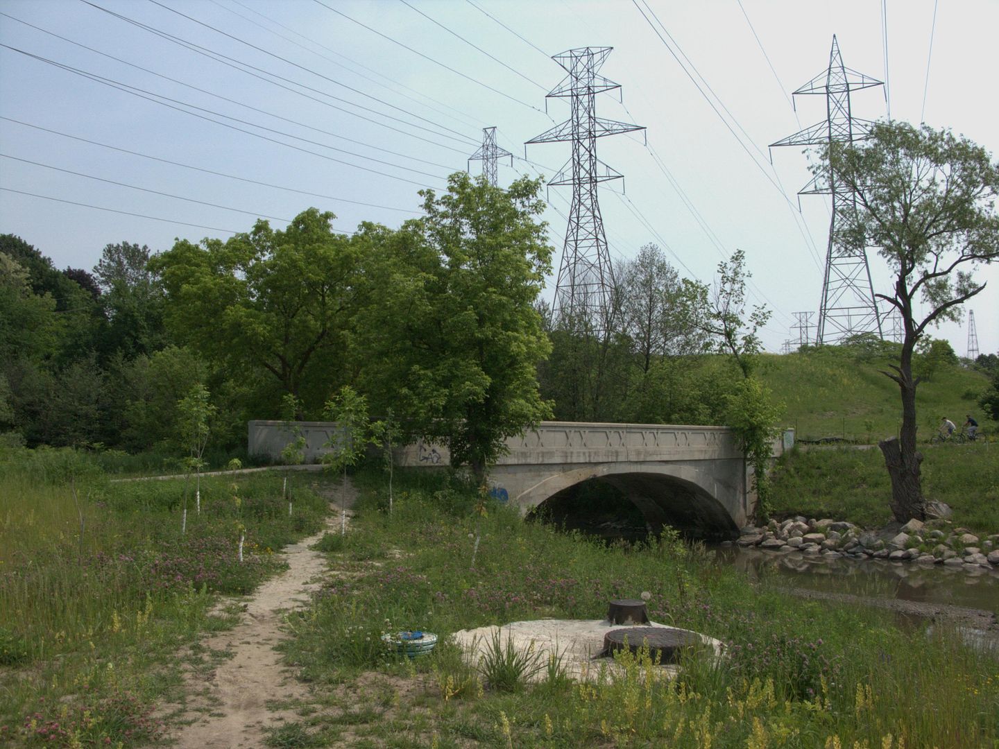
Trekking towards the CP rail culvert:
Turning north through the mighty Brimley Cataracts:
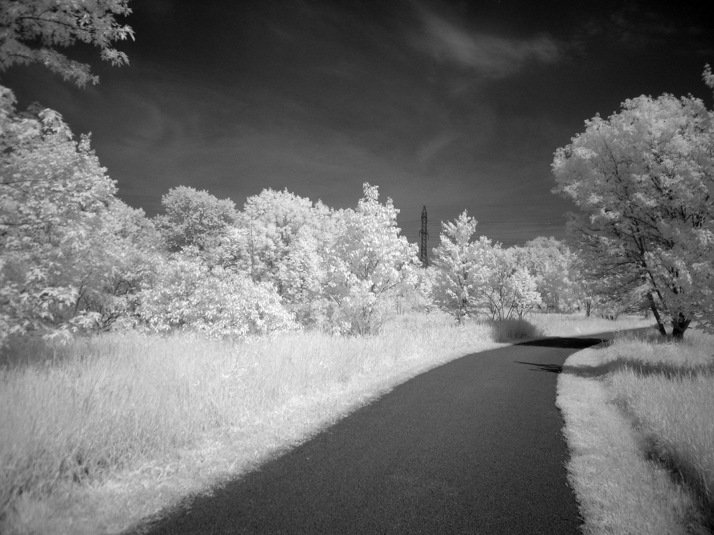
Into North Agincourt Park:
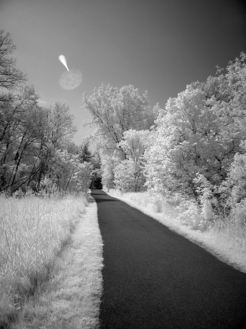
North from Huntingwood to the branch terminus at Finch Ave:


 :
: