Midtown Urbanist
Superstar
Wicked. Is the teal line LRT or standard subway? Might agree with others about using a single cross-core tunnel with a 3-track setup. If there ever were enough funds to build two tunnels across downtown I think an idea worth considering would be to instead spread those extra funds towards grade-separating the centralist ~2km of the 504, 505, 506. Would provide a much-needed boost in speed/reliability/capacity for the legacy system.
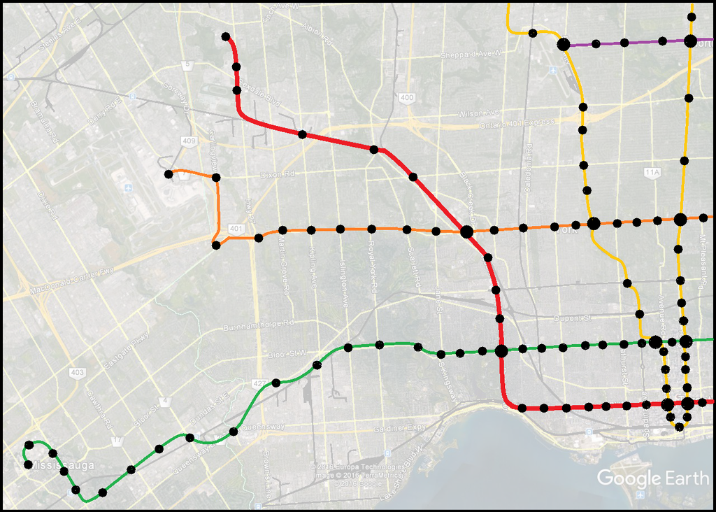
The teal colour Dufferin-King line was designed as a subway. This map's original intention was in a fantasy world where we seceded from Ontario to form the Province of the Golden Horseshoe, and could use all the tax dollars collected from the region to invest back into our metro system. So in other words, unlimited funds scenario.
I just thought it was tangently related to that post from the Rail Deck Park thread and decided to screenshot and post it here. If the question was the most efficient use of funds, a single tunnel 3-track setup would be better as people have said thus far, not to mention higher frequency!
For the western leg of the RL Dufferin is definitely a good contender, but it does pass fairly close to U/S. I'm of the opinion that keeping a good spacing between lines and perhaps trying to follow a NW path could be beneficial. So perhaps some kind of combo using GTS-Keele-Dundas-Jane-Weston, etc. It'd make a good mirror of the eastern portion, somewhat equidistant to Line 1, and would create an effective flying U.
For the western leg of the Relief Line Keele/Parkside would be so much easier and cheaper to build and construct than going up Dufferin, Jane or Roncy/Dundas.
A year or so ago I would have agreed. Actually, I even dismissed sending the RL back up frequently saying it is better for it to go to Sunnyside instead to serve as a hub for GO-RER and WWLRT (something I still think is important, as shown by the Red line in the above map). I even considered the option of sending the Red line all the way to Humber Bay Shores to reach that high density neighbourhood.
However, in the past year we have had a series of developments that makes me begin to think that the Dufferin corridor is the best option.
- For starters, the Dufferin bus is the busiest bus route in the city and is currently overcapacity despite articulated buses.
- Dufferin ridership as of 2014 is 44,000 a day.
- Reports from City Planning this spring has found that in addition to the Yonge line, the Spadina Subway will also be over-capacity by 2041. (I wish I can find the source again, @TheTigerMaster might know.)
- I take this to mean that the Spadina line will need it's own relief line to the west.
- This year, plans for the Galleria Mall Redevelopment came forward. This project will add a great deal of density to the Dufferin corridor where the Dufferin Bus is already over-capacity when it reaches Dupont.
- "A total of 3,416 residential units are proposed throughout the residential buildings"
- Then just this past month, we've found out about a massive redevelopment project at Bloor-Dufferin in the former TDSB lands.
- We don't know plans for the site yet, but I think it is fair to expect very high densities similar to the Honest Ed's proposal, given how much the site sold for.
- The above two redevelopments makes me wonder about the future of Dufferin Mall.
- Finally, the Missing Link has had unprecedented development this year behind the scenes and may be more real than fiction after all. If the Missing Link is built and the Midtown corridor is freed up, then Dupont/Dufferin is ripe for a subway/GO-RER interchange.
The one problem is what to do with the line once it reaches Eglinton, since Dufferin north of Eglinton is very close to Spadina line. Of course, an answer is that there is no need for an extension north of Eglinton. That is what I chose for terminus on the map above.


