|
|
|


You are using an out of date browser. It may not display this or other websites correctly.
You should upgrade or use an alternative browser.
You should upgrade or use an alternative browser.
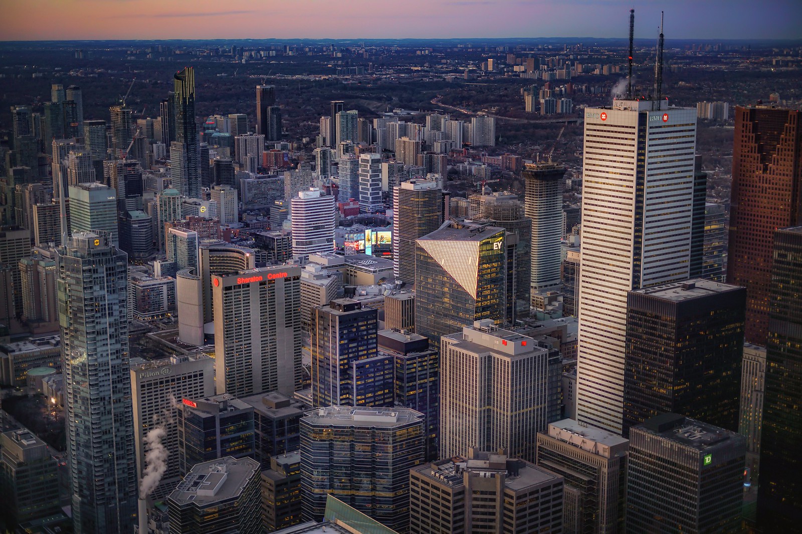
Toronto skyline
- Thread starter Build Up
- Start date
kotsy
Senior Member
glow. by Jonathan Castellino, on Flickr
droooools
Goldie
Senior Member

Logan
Active Member
 Toronto skyline, from Niagara on the lake by JamesK86, on Flickr
Imagine being an urban/skyscraper type and having to live in Niagara On The Lake? Close but just not close enough.


someMidTowner
¯\_(ツ)_/¯


Midtown Urbanist
Superstar
Ouff. What a beaut.
Just need to crop Hotel X from the frame.
Just need to crop Hotel X from the frame.
Goldie
Senior Member

TransitBart
Senior Member
What skyline? Wow. The contrast.
Ten years more brings new city hall and the TD Centre. From there, up and up.
What are the waterfront smoke stacks to the west (left) of the Royal York?
Ten years more brings new city hall and the TD Centre. From there, up and up.
What are the waterfront smoke stacks to the west (left) of the Royal York?
Razz
Senior Member

Jonathan Carruthers
New Member
One of the things I love about this vista is the rising and falling roof line motif that moves from one building to the other like a stock market graph. Starting from left to right it includes the slope of the L-Tower the upward V's of the two Brookfield Place towers , the downward slope of 88 Scott, the upward V of 1 King Street, the downward V of the Scotia Bank Building and lastly the corner cut-out, downward V of the mid-rise office building just to the right. That says Financial District to me! Well done. Thank you for the photo.
Last edited:
Logan
Active Member
 Winners
Midtown Urbanist
Superstar
Rendering from the HUB project.
Eh.
3Dementia
Senior Member
I realize there are many views from the island(s) ... slight shift reveals different forms.... but this is a scene-stealer that makes me wish it was a) more iconic or b) shorter.