railmus
New Member
Another link here! http://campbellpark.ca/wiki/wiki.php?n=OldPhotosWallace.FrontPage


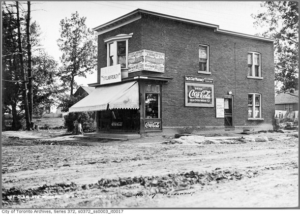


not sure if this is germane to the thread without a "now" map, but here are two "then" superimposed maps of bay street in this vicinity...
Before Bay St Divided Yorkville
And St. Clair started off with a streetcar ROW.
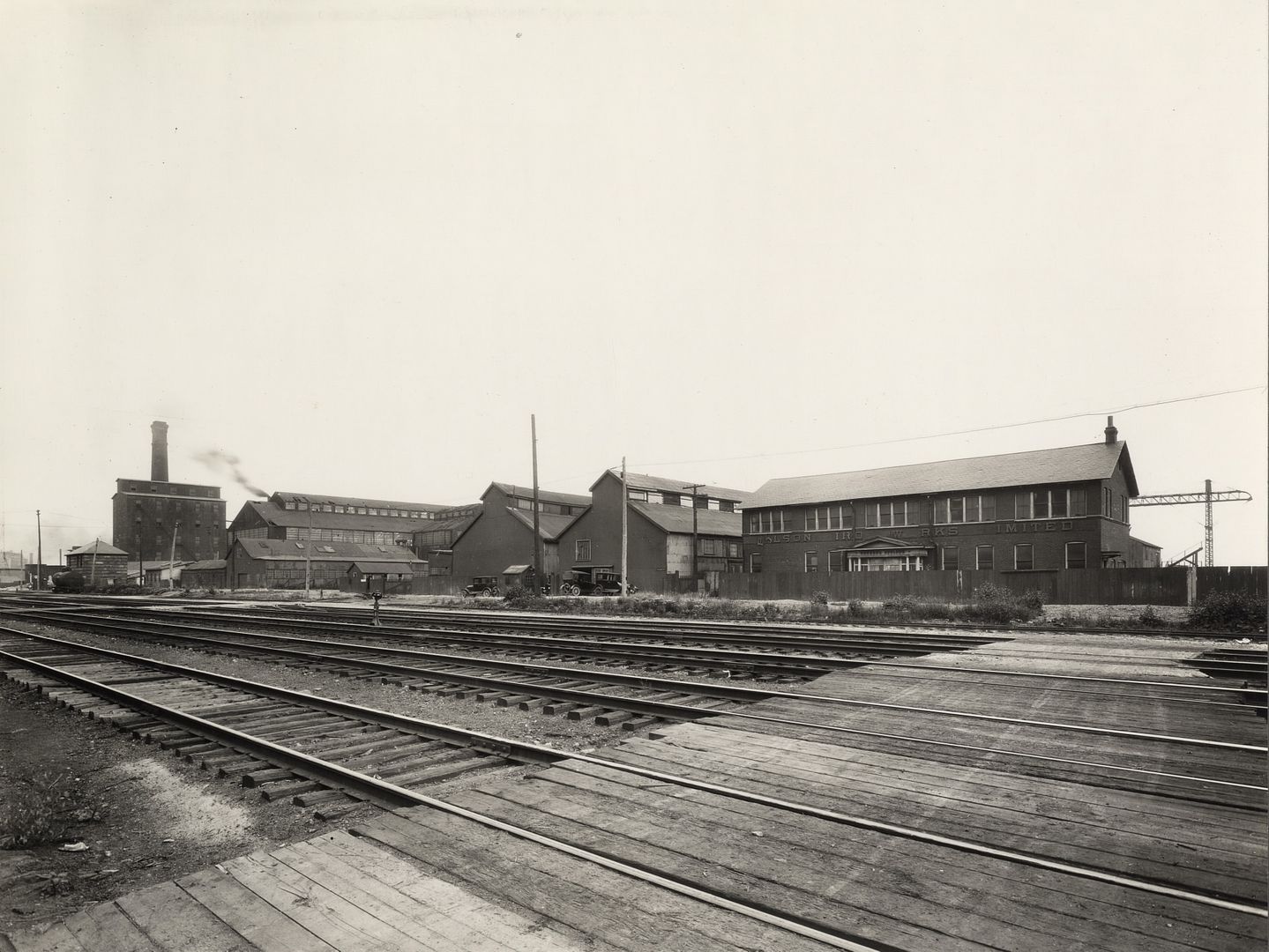
Then. c1926.
Polson Iron Works. Esplanade, east side between Frederick and Princess Sts looking SE from Frederick St.
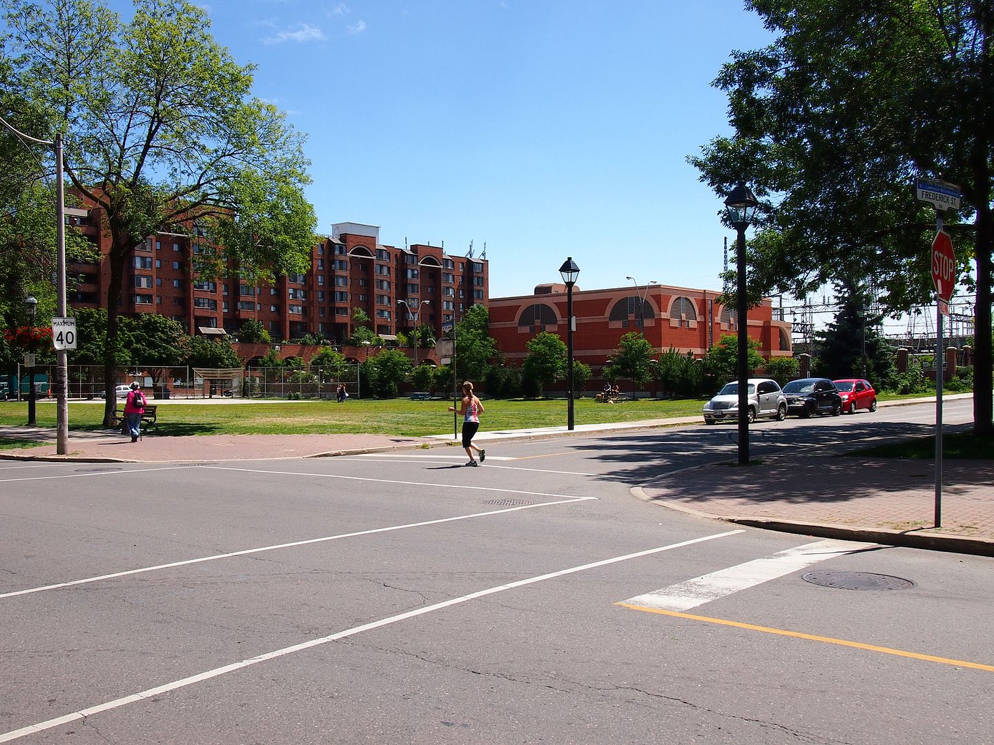
Now. July 2013.
A 'google' for Polson Iron' brings up a wealth of material of this fascinating company, including to my mind it's most fascinating creation, 'Knapp's Roller Boat'.
Then. c1926.
Polson Iron Works. Esplanade, east side between Frederick and Princess Sts looking SE from Frederick St.

Now. July 2013.

I echo the sentiment: welcome back, Mustapha!
BUT......isn't your "Now" view looking SW?
The "Now" view is SE all right, Frederick St. is in the foreground and that's Sherbourne St. in the background. The park is between Sherbourne and Frederick and the Gardiner is behind the hydro transformer station.
