

Goldie
Senior Member
A few more of that now-transformed stretch of Don Mills Rd. - taken last fall (2010)


|
|
|
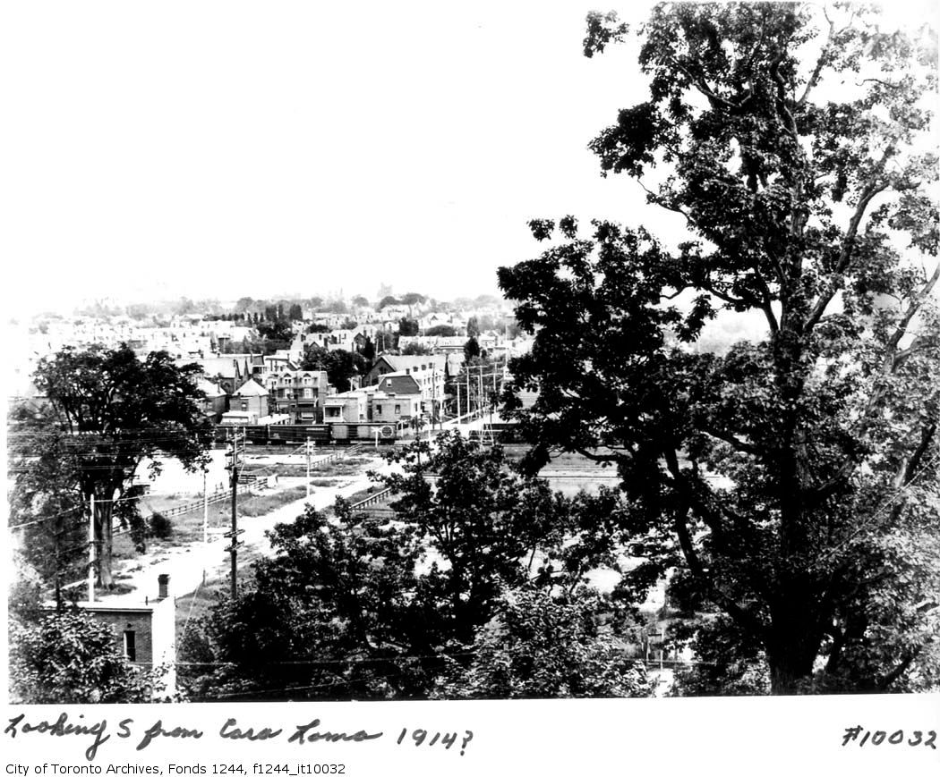
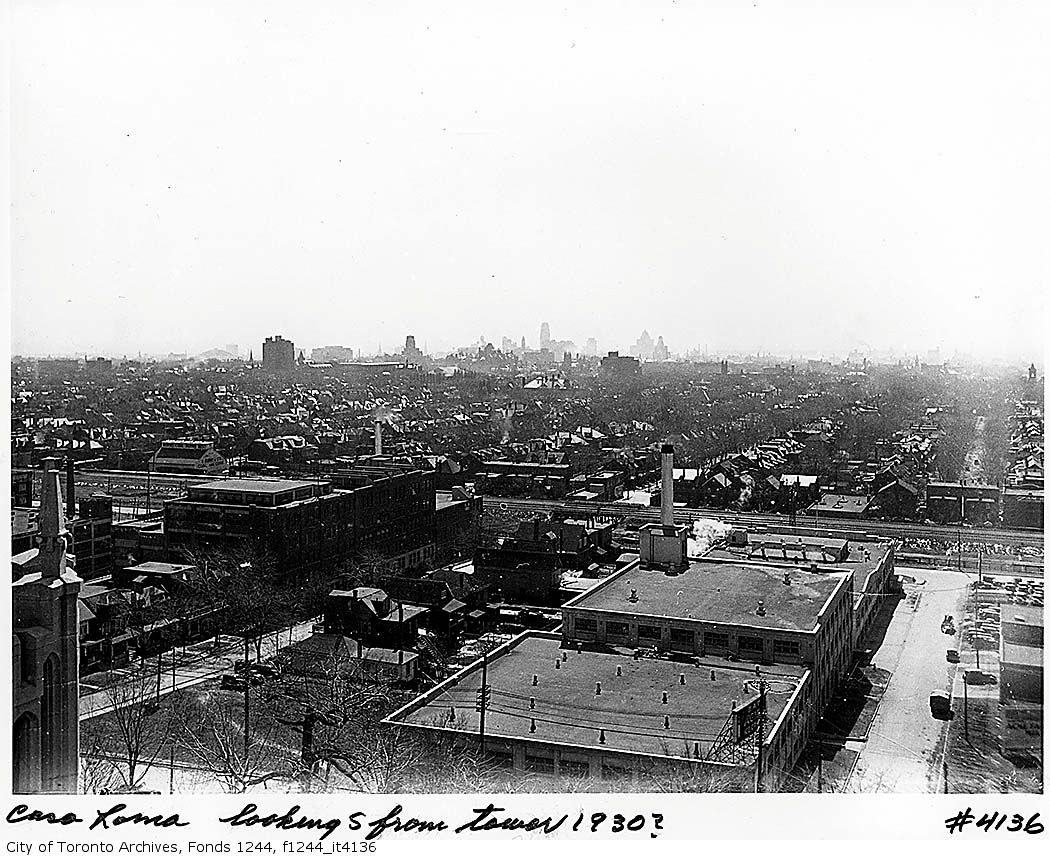
Two views from Casa Loma. The dairy can be seen in the more recent pic (I believe it did survive until the townhouses were built in the late 80's):
A few more of that now-transformed stretch of Don Mills Rd. - taken last fall (2010)
If that apartment building is the first one up the hill from the DVP on Don Mills road,
it was named "The Citadal", and was built by the owner during the mid '60's.
(c/w Otis Elevators)
Regards,
J T
")
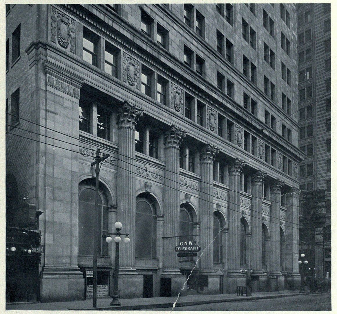
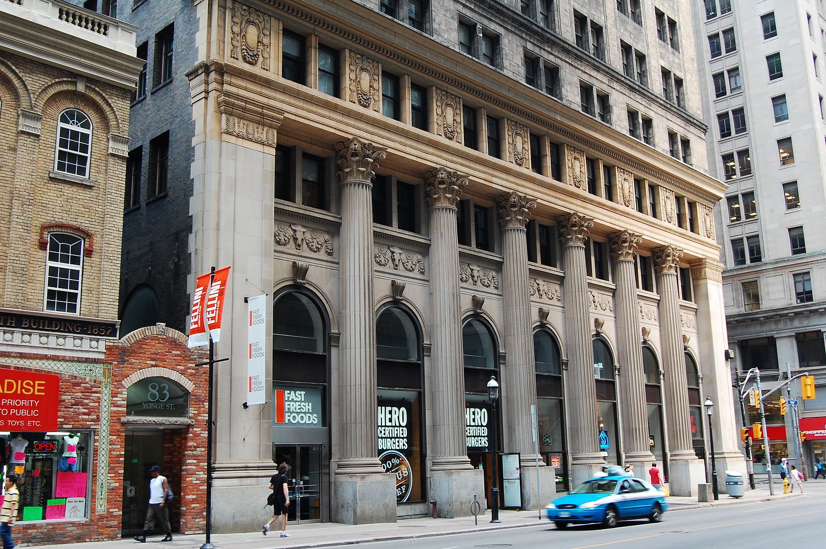
"Urgent G.N.W. telegraph for JT CUNNINGHAM: It's spelled 'Citadel', with an 'e'. Full stop."
QUOTE Mustapha.
Hey, I am lucky that I have remembered the building's name after all of these years!
Regards,
J T
"Urgent G.N.W. telegraph for JT CUNNINGHAM: It's spelled 'Citadel', with an 'e'. Full stop."
QUOTE Mustapha.
Hey, I am lucky that I have remembered the building's name after all of these years!
Regards,
J T
That is not the same bridge, only the same location. What is there now is a Bailey Bridge.
I suppose it's not altogether impossible to imagine a one-lane Don Mills Road bridge. After all, if the date markers are to be believed, the one-lane bow arch bridge on Pottery Road was it till 1977. Imagine the joy THAT must have been every morning getting to and from Bayview.
no, they are almost but not quite on the same alignmentI had always assumed the Bailey bridge there WAS the road bridge

...Does anyone remember the Don Valley Parkway 'landslide'? I can't remember which hill it was - it may have been near Chester Hill Dr - but I recall reporters talking to commuters who had no idea how to get home to the suburbs without the DVP.
... Actually the fourth shot looks right up to where that house is. The hill in the centre of that shot is the landfill which was filled between 1960 and 1962, so right around the time these were taken I guess.

Looked it up in the Star - April 18, 1969, just west of the Don Mills overpass - likely the hill/landfill in the centre of this shot.
At first I thought you were thinking of the 1980's Leaside landslide that took out Laird south of Village Station.