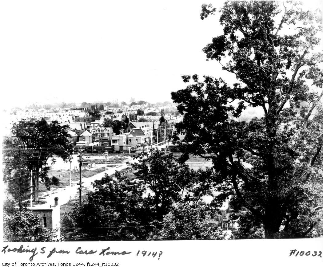
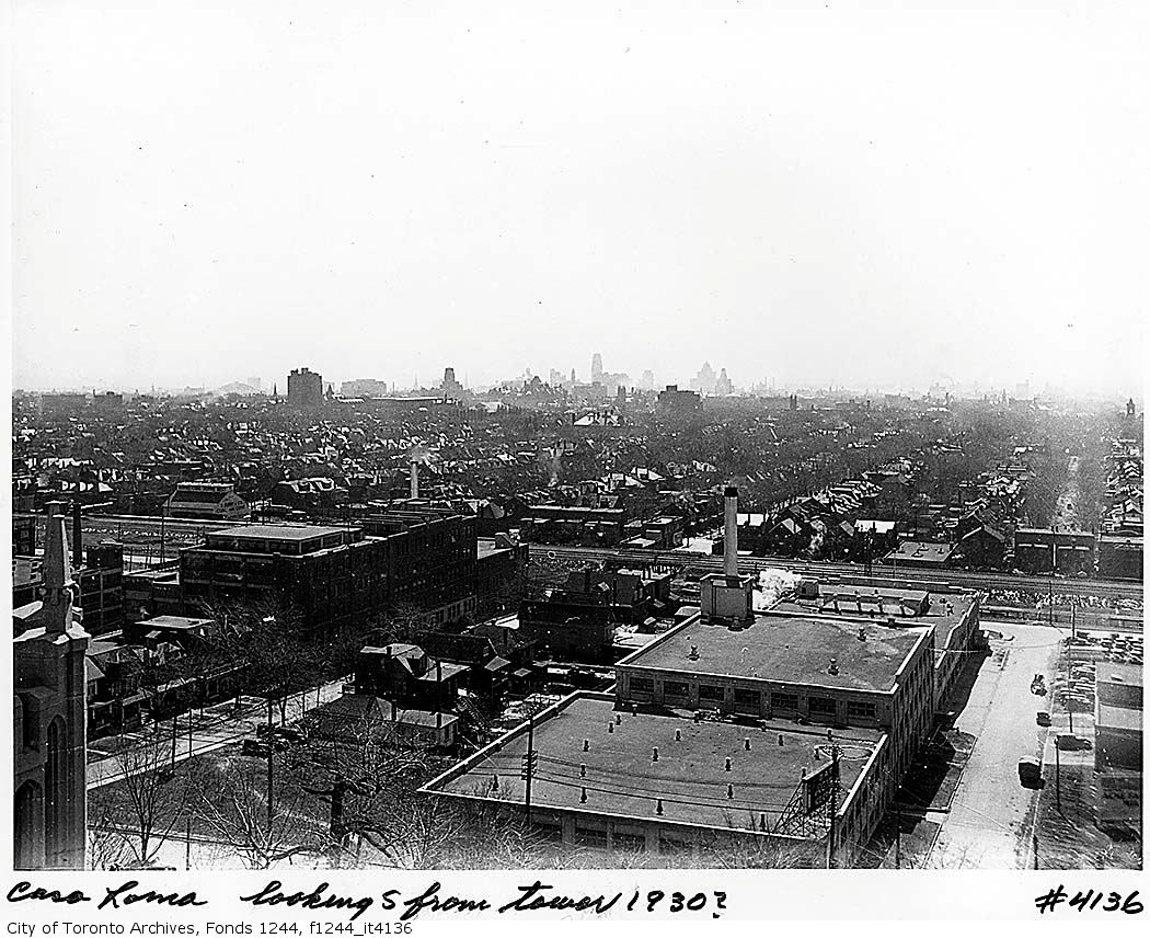
News   Jun 28, 2024
 1.5K     1 
News   Jun 28, 2024
 1.2K     1 
News   Jun 28, 2024
 546     1 

Miscellany Toronto Photographs: Then and Now

"Interesting they would ship POWs this far inland. Very interesting."
QUOTE Mustapha.

My grade 10 home room teacher was a German POW in Northern Ontario.


Regards,
J T

And they had lots of internment camps (not sure about POW but I think they were there too) in southern interior of BC and the Rockies and foothills in Alberta.
 
New member, r937, has a great web site: http://rudy.ca/
Some will remember his excellent contributions to the "Pottery Road" history.
He's allowed me to use some of his collection to create these two "Then & Nows"

thorncliffe1942x.jpg


IslandstreetHooperAve.jpg
 
New member, r937, has a great web site: http://rudy.ca/
Some will remember his excellent contributions to the "Pottery Road" history.
He's allowed me to use some of his collection to create these two "Then & Nows"

thorncliffe1942x.jpg


More questions...is that "road" passable that loops beneath the water treatment plant? Under the "L" of "Leaside Bridge"? Or is that the rail line?
 
there is a road there, yes, but it ends just a few yards east of the bridge at some hydro equipment

go-train-from-leaside-bridge.jpg

Ya I should have checked it out in Google Earth. It's the rail line I was talking about.
 
Then and Now for Dec 8.


Then. NE corner Walmer Road at MacPherson. The Farmers Dairy Company Limited. c1916. A wwwebster sourced picture.

WalmerRdatMacphersonNEc1916.jpg


Now. July 2011. I wonder if it survived up until these newish homes were built.

CSC_0017.jpg
 
Then and Now for Dec 8.


Then. NE corner Walmer Road at MacPherson. The Farmers Dairy Company Limited. c1916. A wwwebster sourced picture.

<snip>

Now. July 2011. I wonder if it survived up until these newish homes were built.

<snip>

I remember that whole area being developed, but I can't seem to remember what was really there before. I remember it feeling rather desolate.
 
I believe it basically did until the late 80s--I remember the Sealtest sign atop the corner. (Though what condition it was in, "original" or altered/rebuilt, I con't know.)
 
Just south of this shot on the south side of the bridge is where the big landfill (garbage dump) is!
thanks for the kind words about my site

speaking of landfills...

landfill-sites-lake-iroquois-bay.jpg


sorry, can't remember which book i scanned this out of

i know we're not supposed to do that, and then post it, etc., but i can't help myself, eh :)

the bay mouth of ancient lake iroquois is shown nicely on this map, if you are familiar with the topology, the hills and valleys that mark the old shoreline...

for instance, at o'conner and vic park, a really splendid panoramic outlook towards the city
 
Then and Now for Dec 8.


Then. NE corner Walmer Road at MacPherson. The Farmers Dairy Company Limited. c1916. A wwwebster sourced picture.

WalmerRdatMacphersonNEc1916.jpg


Now. July 2011. I wonder if it survived up until these newish homes were built.

CSC_0017.jpg

Two views from Casa Loma. The dairy can be seen in the more recent pic (I believe it did survive until the townhouses were built in the late 80's):

viewfromcasaloma2.jpg


viewfromcasaloma.jpg
 
thanks for the kind words about my site

speaking of landfills...

landfill-sites-lake-iroquois-bay.jpg


sorry, can't remember which book i scanned this out of

i know we're not supposed to do that, and then post it, etc., but i can't help myself, eh :)

the bay mouth of ancient lake iroquois is shown nicely on this map, if you are familiar with the topology, the hills and valleys that mark the old shoreline...

for instance, at o'conner and vic park, a really splendid panoramic outlook towards the city

I have also admired the view from O'Connor & Vic Park

On a related note
More DVP construction photos of the Don Mills Road/DVP/Forks of the Don area, I believe, with my guesses as to location.

Facing west (northwest?) towards what's now the road from Thorncliffe Park Drive down to ET Seton Park with old Don Mills Road bridge in foreground.
s0065_fl0068_id0008.jpg


New and old Don Mills Road, looking north
s0065_fl0091_id0004.jpg


Don Mills Road, looking south - same house
s0065_fl0066_id0001.jpg


Further south, looking southwest
s0065_fl0091_id0002.jpg


I can't figure out where this is - Eglinton? - it's from 1958.
s0065_fl0066_id0005.jpg
 

Back
Top