News   Jun 17, 2024
 169     0 
News   Jun 14, 2024
 2.5K     1 
News   Jun 14, 2024
 1.8K     1 

Miscellany Toronto Photographs: Then and Now

April 13 addition.


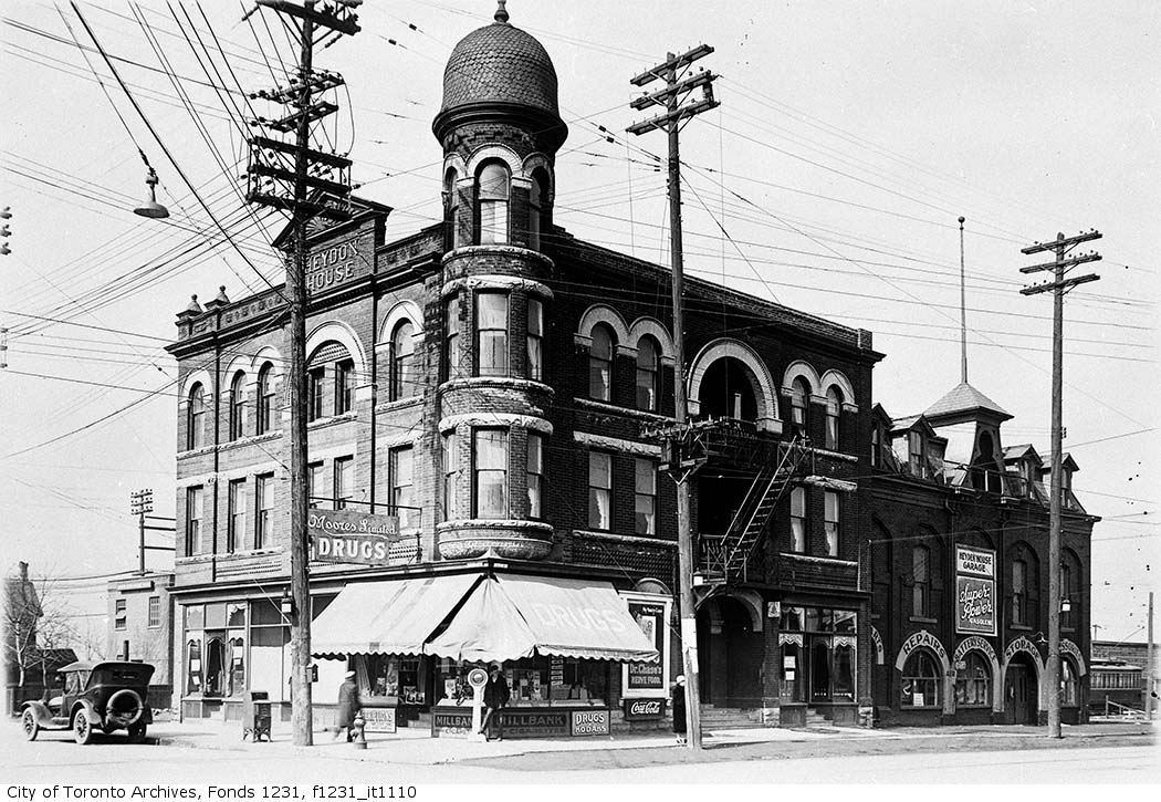
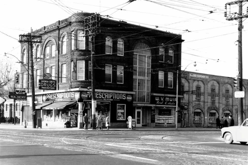
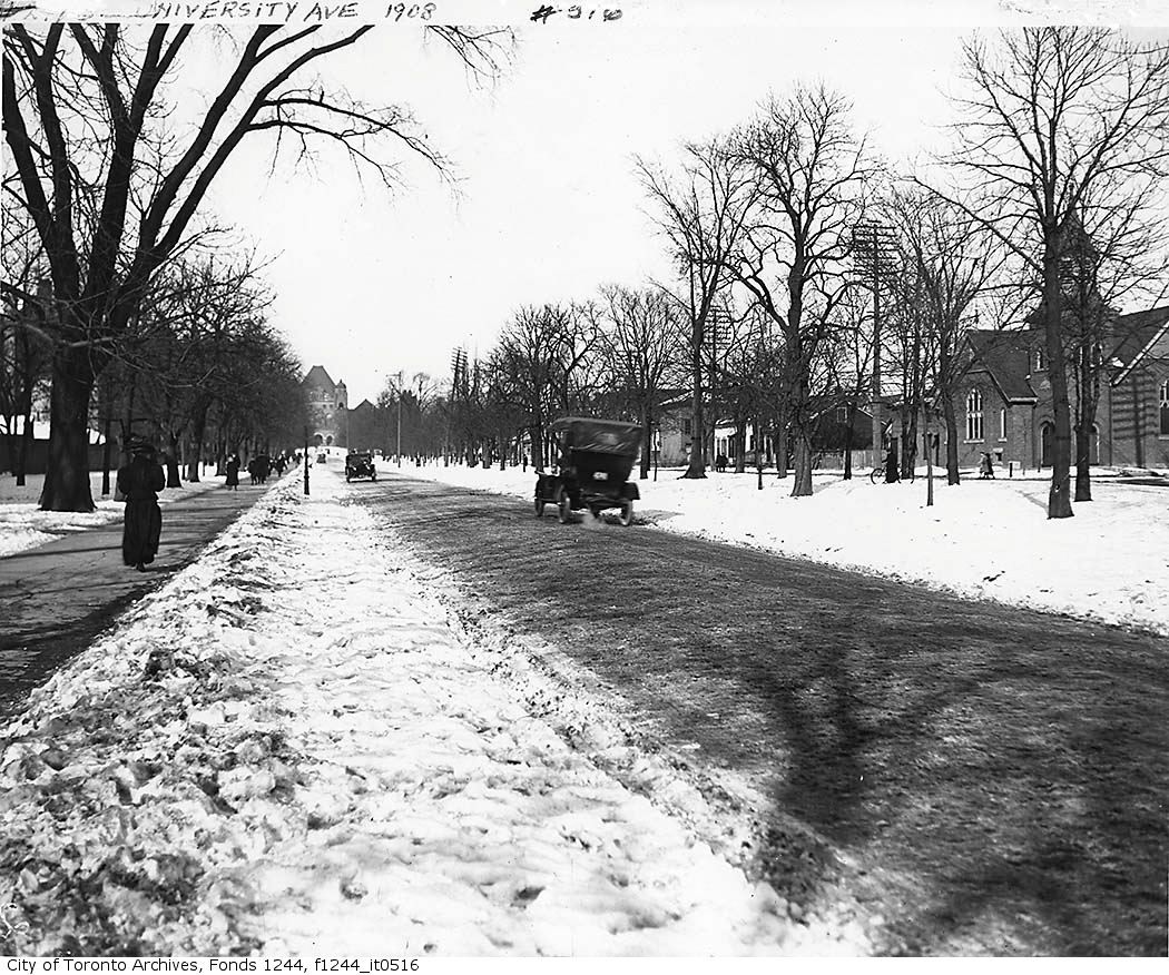
Then. University Avenue, looking NE. I believe that church on the right to be Bethany Chapel on the NE corner of University and Christopher streets. 1893-1910. This picture was taken in 1908. Christopher street was closed off in the 1930s for TGH expansion. The present day Gerrard street was pushed west from Elizabeth to give access to University after that, I think.
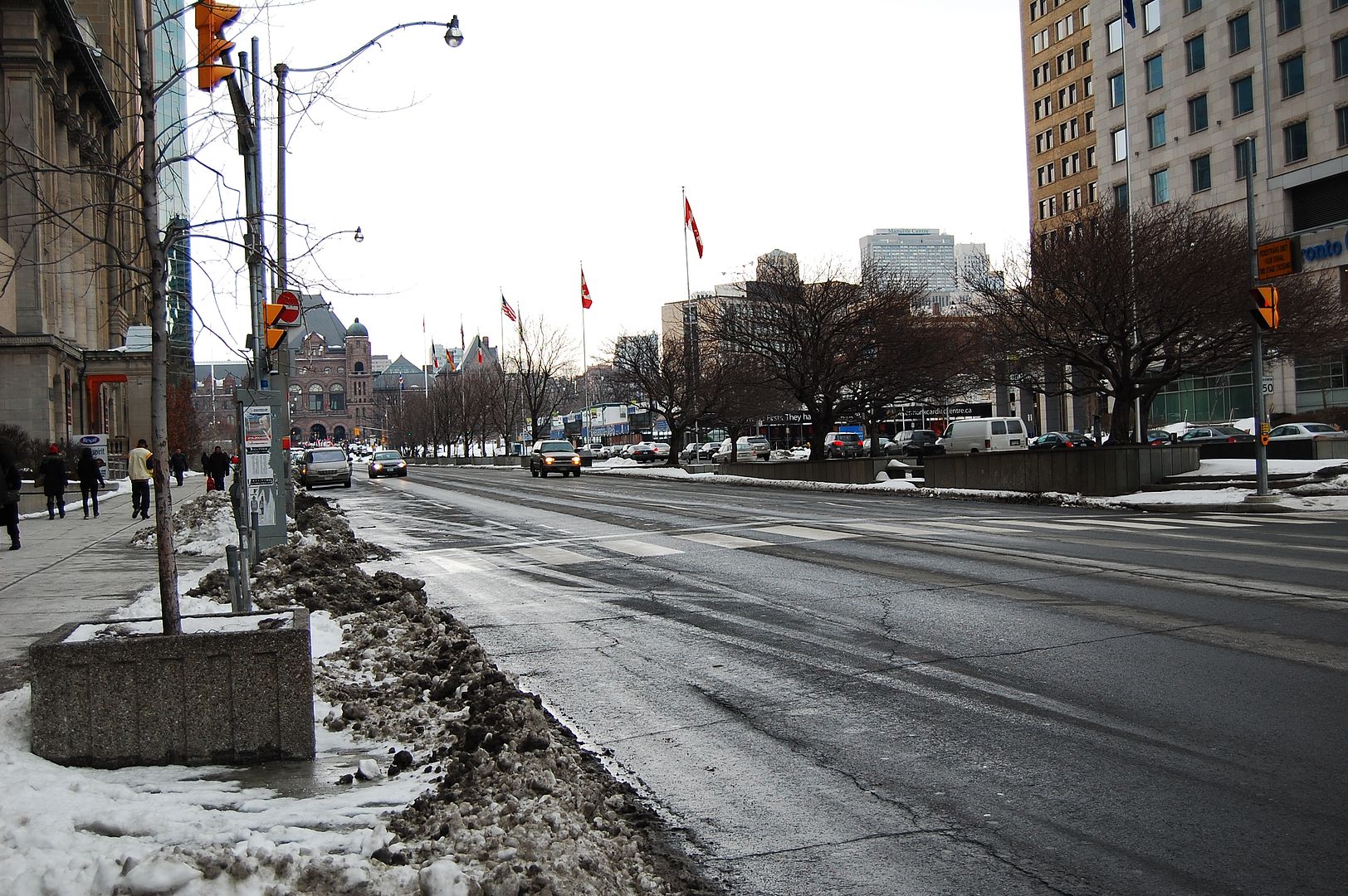
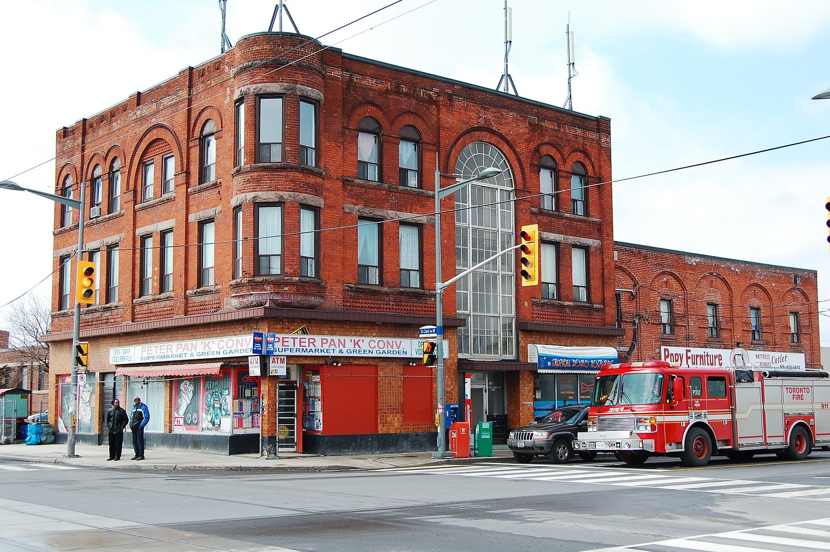


f1244_it0516.jpg


Now. February 2011.


DSC_0141.jpg
 
Last edited:
April 14 addition.


Heydon House Hotel. NW Corner of Old Weston Road and St. Clair.


Then. Mar. 16, 1927. *Cue sound of hammer, chisel and hacksaw.


HeydonHouseHotelnorthwestcornerofWestonRoadandStClairAvenueMar161927.jpg


Later. 1955.


heydonhousehotel1955.jpg


Now. April 2011. Shame about that third floor turreted room. If Boo Radley lived in the Heydon House he would have lived in that room.


DSC_0034.jpg
 
Well, if there's any consolation, it's that most of the nasty stuff was done by 1955. Since then...mostly just a stripping of what's left of the cornice and a re-sashing (and, presumably, a sandblasting)
 
April 15 addition.


Then. "1911. Fairbank Twp. View is looking north from Rochdale Avenue. Harvie Avenue is on left. Nairn Avenue is on right. Rowntree Creek runs through centre of photograph. Prospect Cemetery is upper left."


Just to simplify things: those two houses I've circled in red are actually on the north side Rochdale Avenue. We are looking directly north.


ViewislookingnorthfromRochdaleAvenueHarvieAvenueisonleftNairnAvenueisonrightRowntreeCreekrunsthroughcentreofphotographProspectCemeteryisa-1.jpg


March 2011. In the Now views, two houses from the Then view are circled in red.

DSC_0001-1.jpg


DSC_0003-2.jpg
 
April 16 addition.


Then. Silverthorn and Rogers Road looking W. I'm not sure of the date but my guess is 1965-ish. UTer ValsHere sent me this picture. Hard to believe streetcars trundled this far northwest back in the day.


SilverthornandRogersrd.jpg


Now. March 2011.


DSC_0010-2.jpg


Coming up tomorrow for the next few days: Yonge and Finch. :)


.
 
April 16 addition.


Then. Silverthorn and Rogers Road looking W. I'm not sure of the date but my guess is 1965-ish. UTer ValsHere sent me this picture. Hard to believe streetcars trundled this far northwest back in the day.

It's more likely early 70s--I actually remember that Kodak billboard. The Rogers car ended in 1974.

Interesting that it's been "Samm's Pharmacy" all this time--and the ghost of old wall advertising(?) remains discernable. (Not to mention that "Don Mills contemporary" thing to its left--was it a church?)
 
Interesting that it's been "Samm's Pharmacy" all this time--and the ghost of old wall advertising(?) remains discernable.

40 years at least then for the pharmacy. A long long time for an independently operated business. I wonder if a UTer in the neighbourhood could possibly drop in and ask about the continuity.
 
While the Rogers Road route ended in 1974, some streetcar tracks in the Rogers Rd & Keele area were never paved over, and were still there almost 30 years later

Can the Toronto transit buffs tell us if any original paving stones between streetcar tracks remain? They were murder to drive on. A lady neighbour who tired of them as garden rockery (an earlier owner installed them) offered hundreds for the taking but none were taken. They eventually went into a dumpster.
 

Back
Top