

Urban Shocker
Doyenne
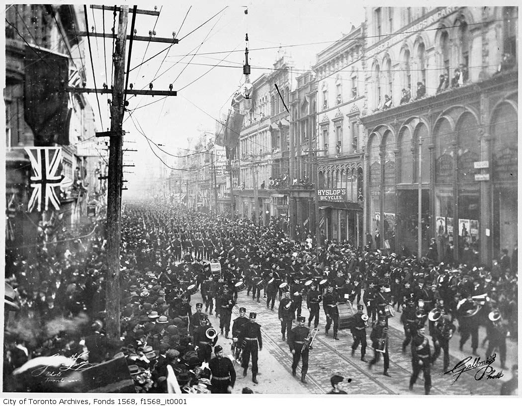
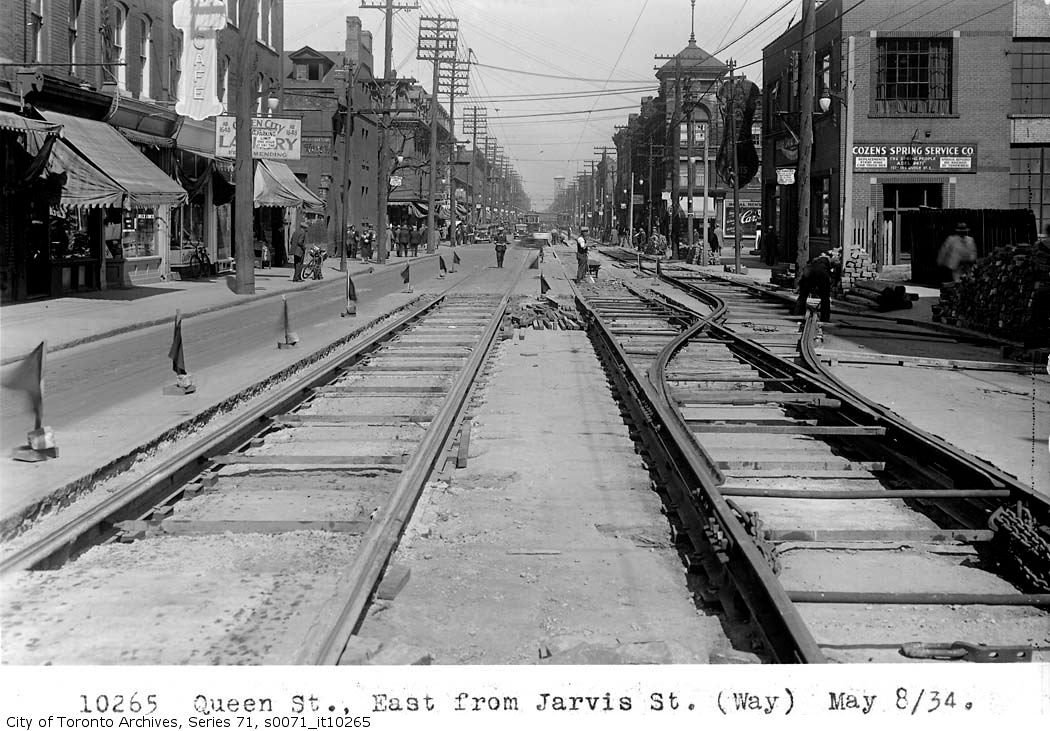
The result of speculative building on newly available land north of Queen dating from the bustling, more affluent 1880s and 1890s ... versus the remnants of an earlier and less prosperous Georgian city south of Queen and west of Yonge, maybe?
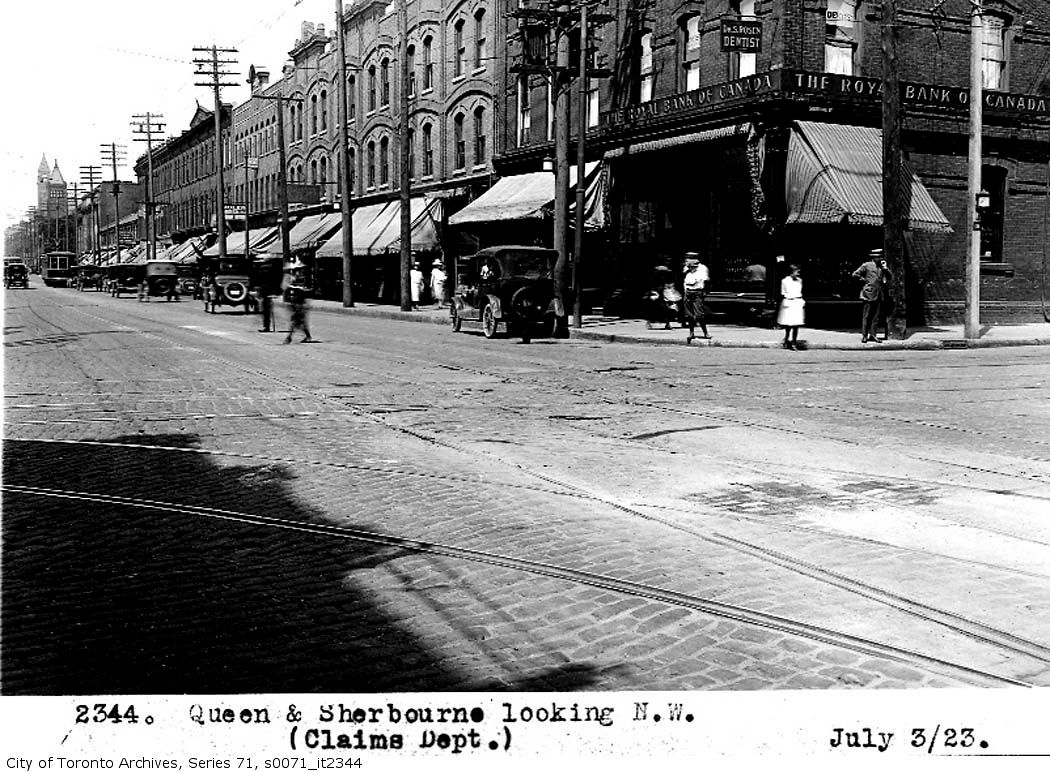
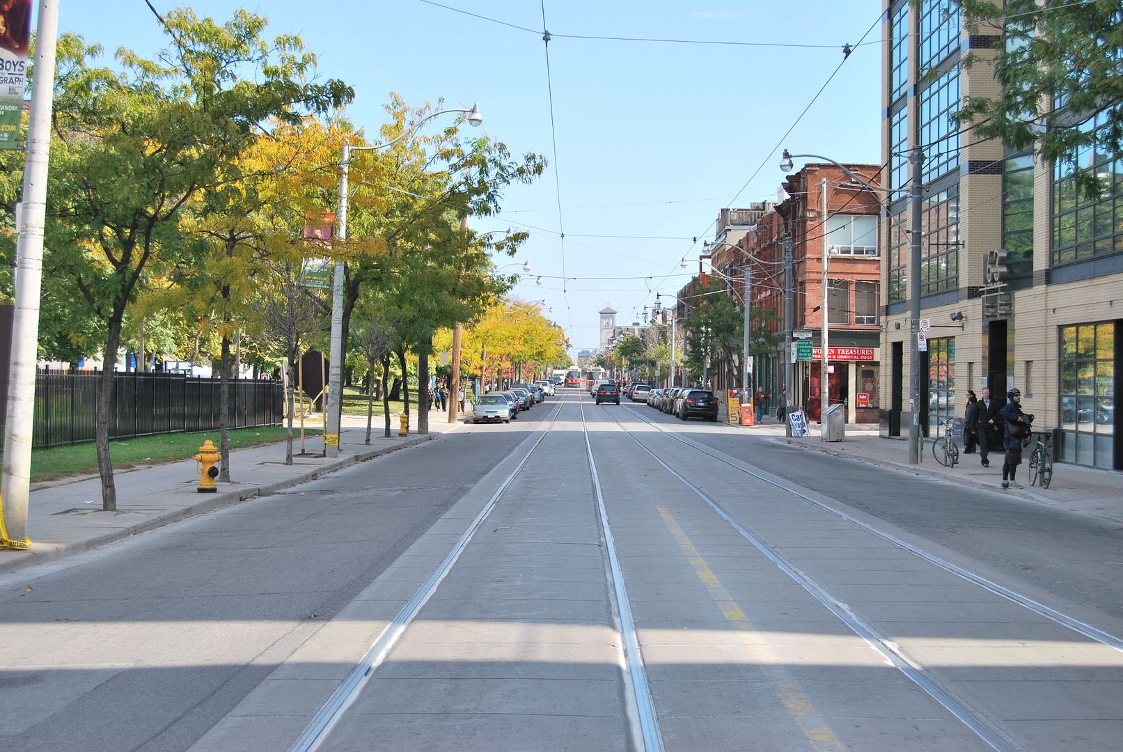
I admire the relative uniformity of such blocks, too. Once established, a form can be expanded with minor variations, creating a strong identity based on fitting in rather than standing out. We still do it rather well, I think.
I admire the relative uniformity of such blocks, too. Once established, a form can be expanded with minor variations, creating a strong identity based on fitting in rather than standing out. We still do it rather well, I think.