


NomoreaTorontonian
Active Member
I was wondering why the Bay Street car was travelling along Bloor Street.
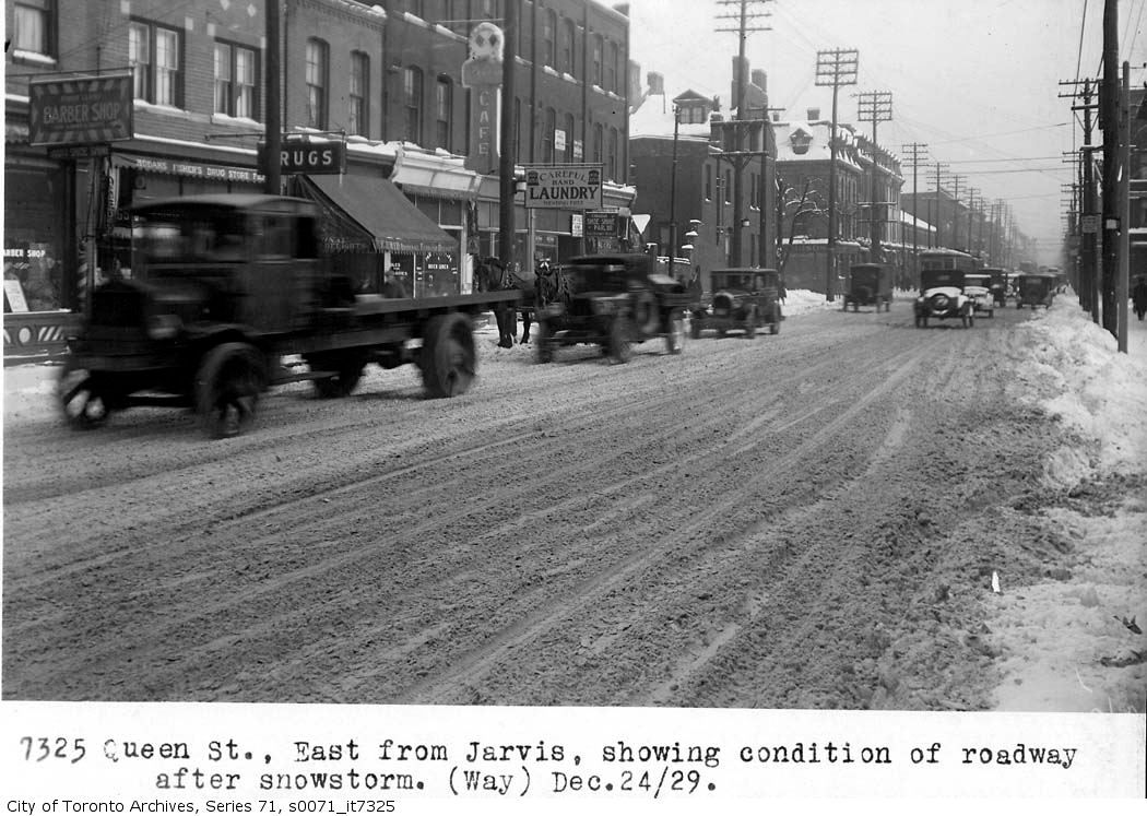
That was a bad day in the labelling department. Or maybe 6775 wasn't supposed to be the street number.
That was a bad day in the labelling department. Or maybe 6775 wasn't supposed to be the street number.