News   Jun 14, 2024
 1.7K     1 
News   Jun 14, 2024
 1.3K     1 
News   Jun 14, 2024
 731     0 

Miscellany Toronto Photographs: Then and Now

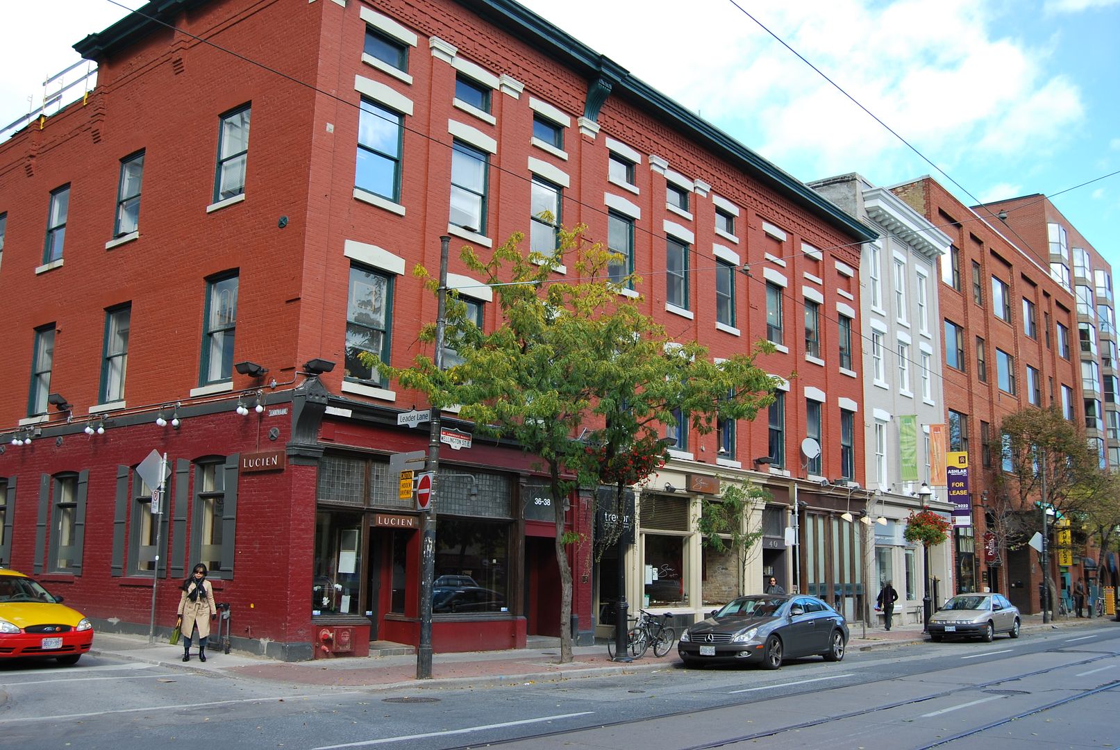
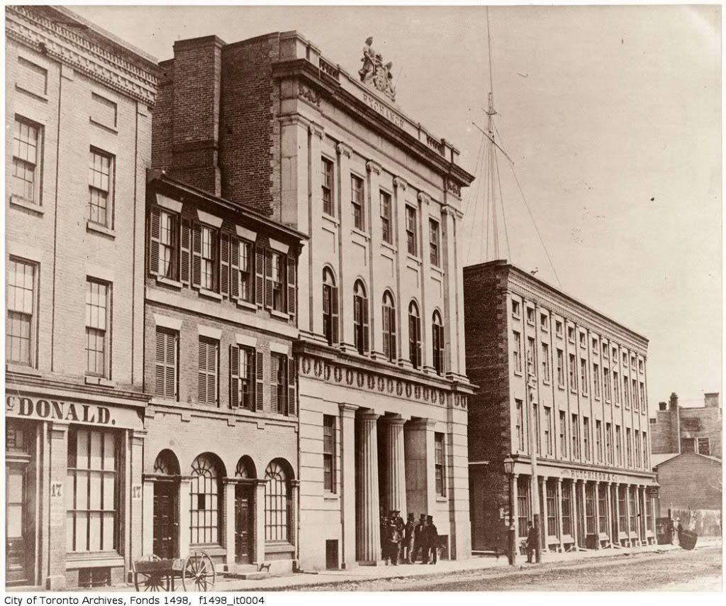
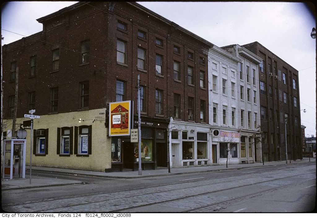
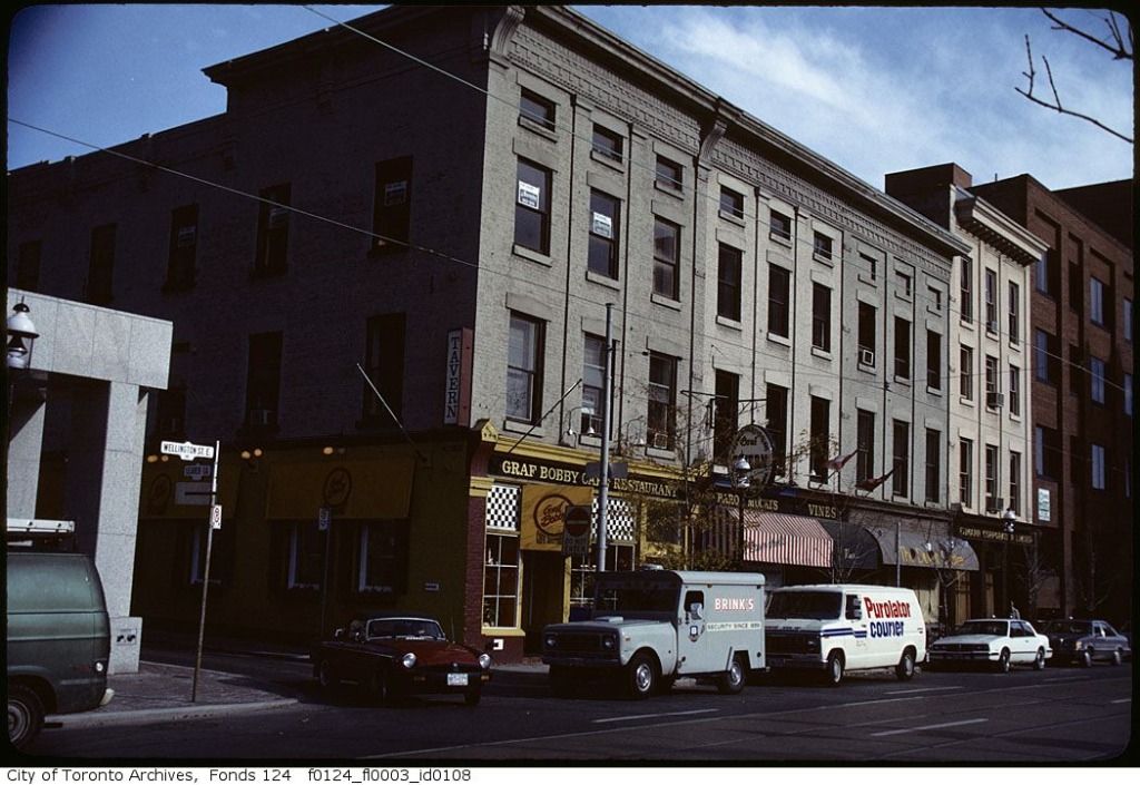
some harbourfront history

- Bathurst 1927 ... bridge realigned 1931
- foot of Parliament 1927
- Spadina 1927
- Bathurst St.
- waterfront landfill
 

Attachments

  • aerial Bathurst 1927 bridge realigned in 1931.jpg
    aerial Bathurst 1927 bridge realigned in 1931.jpg
    131.1 KB · Views: 350
  • aerial Foot of Parliament 1927.jpg
    aerial Foot of Parliament 1927.jpg
    122.2 KB · Views: 352
  • aerial Spadina 1927.jpg
    aerial Spadina 1927.jpg
    124.6 KB · Views: 363
  • aerial Toronto Bathurst.jpg
    aerial Toronto Bathurst.jpg
    118.6 KB · Views: 357
  • Toronto Harbour history.jpg
    Toronto Harbour history.jpg
    106.9 KB · Views: 359
speaking of Moss Park, here's a photo i shot last winter. not sure if its the same dog...

mosspark3511big.jpg
 
Last edited:
thecharioteer, wwwebster... How close did I get?

Now: December 12 2009.

DSCF1327.jpg


Down boy.
DSCF1328.jpg

Mustapha: You did a great job! Sad that not only is there no longer any builtform remnant of the old neighbourhood, your photos make it clear that all traces of the undulating landscape resulting from the buried Moss Park Creek were eliminated as well. What a candidate this park would make for a design competition. When one thinks of the money being spent on the East Bayfront Sherbourne Park........
 
December 15 addition.


Then: Jarvis looking N from Lombard. January 1958.

There's been a gas station on that NE corner for quite some time now. A "BA" then, now a Petrocan.

ser372_ss0100_s0372_ss0100_it0337.jpg


Now: October 2009.

DSC_0010.jpg


More reading: BA was a Canadian company; this man seems to be the keeper of the flame. Quite a well done website. Car collector too.:)

http://www.britishamericanoil.ca/index.html


.
 
thecharioteer said:
What a candidate this park would make for a design competition.

Apparently, the `River of Grass' project in Moss Park didn't work out too well; it became a convenient dumping ground for used needles and other drug paraphernalia. :(
 
I know we get a lot of older photos here that show amazing old buildings that are long gone. That Jarvis shot above shows another Toronto, an old and very dumpy Toronto.
 
Pretty close! Maybe step back from Queen about 10 more feet, but who's complaining? ;)

Thanks!

You don't miss a thing.:) I was at the edge of the grass; one more step backwards would have put me onto the clay muck of the baseball infield. I would have been sucked down into the Lost Underground Moss Park.
 
I know we get a lot of older photos here that show amazing old buildings that are long gone. That Jarvis shot above shows another Toronto, an old and very dumpy Toronto.

All the condo developments gone up and going up along the King/Sherbourne/Richmond/Lombard axis have really transformed this area in just the past 5 years. Goodby old and dumpy...
 
Revived an older post. Let me indulge you. I found an "in between" picture at the Toronto archives.

Not exactly "time lapse" photography, I realize...:)

And if you'll indulge me, I'll add the "pre" picture form 1856. Note that the 12-window block east of Leader Lane is intact, though the easternmost building (gray and white in the current photo) added some height:

04wellingtonexchange1856jy5-1.jpg


leaderlane1.jpg


leaderlane2.jpg


leaderlane3.jpg
 
Seriously? Really? North or south of Lakeshore?

Basically, the whole stretch from the Keating Channel to the Cherry Street subway under the tracks. I first noticed it years ago while driving along Lakeshore. Every time I came to that stretch I noticed an overwhelming aroma like cat urine. The mystery was solved for me when I found that British American Oil wwwebsite Mustapha mentioned earlier.

Info on the environmental situation there can be found on pages 8, 9 & 10 of this report:

http://www.trca.on.ca/dotAsset/25749.pdf
 

Back
Top