

EVCco
Senior Member
Warden Utility Corridor - cooking with gas
An obstinately long golfing season has, thus far, delayed my aforementioned plans to "pick up on my Missing Links series." So I've been looking elsewhere for places to meander in the meantime; and, with pipelines being so much in the news lately - from the Keystone and Kinder Morgan pipelines out west, to the Line 9 controversy here at home - I figured a tour of some local utility line might be somewhat apropos. Of course, I've already toured (in whole, or in part) a number of these during previous trips as oil and gas lines tend to piggyback on various existing natural and man-made corridors (Line 9, in fact, follows the course of the Finch hydro corridor which I just finished exploring). The one I'm touring today, however, is a bit different in that, although it does share portions of its route with both hydro lines and brief stretches of the Highland and Taylor-Massey creeks, for large parts of its run it serves as nothing but a natural gas line.
You will notice this line on most maps of the city as a thin strip of largely vacant land running north/south between Warden and Pharmacy avenues. I've been unable to ascertain any official name or number for this particular corridor, apart from northern half apparently forming the southern end of "Segment B" in Enbridge's current GTA Project (http://enbridgegasgtaproject.com). Therefore, since this post needs a title, I've taken the liberty of designating this stretch the "Warden Utility Corridor" as the line seems to run ever-so-slightly closer to Warden than Pharmacy, and Warden being ever-so-slightly the more prominent thoroughfare. So, with that, let's begin heading south from Steeles Avenue where the corridor shares space not only with a short hydro line, but also with the grounds of both Bamburgh and Huntsmill parks:


The hydro towers terminate at the Finch Corridor, but the gas line continues on through an alley of residential rear-ends:


Pressing on south of Huntingwood Drive, through Bridlewood and Vradenberg parks, only to reach a dead-end at the 401:


A new hydro line joins the corridor on the other side of the highway, and follows the gas line between more domestic back-sides to Lawrence Avenue East:


The last leg of the journey finds me winding-up in Wexford, but both the gas and hydro lines continue along familiar grounds through the Gatineau Corridor:


An obstinately long golfing season has, thus far, delayed my aforementioned plans to "pick up on my Missing Links series." So I've been looking elsewhere for places to meander in the meantime; and, with pipelines being so much in the news lately - from the Keystone and Kinder Morgan pipelines out west, to the Line 9 controversy here at home - I figured a tour of some local utility line might be somewhat apropos. Of course, I've already toured (in whole, or in part) a number of these during previous trips as oil and gas lines tend to piggyback on various existing natural and man-made corridors (Line 9, in fact, follows the course of the Finch hydro corridor which I just finished exploring). The one I'm touring today, however, is a bit different in that, although it does share portions of its route with both hydro lines and brief stretches of the Highland and Taylor-Massey creeks, for large parts of its run it serves as nothing but a natural gas line.
You will notice this line on most maps of the city as a thin strip of largely vacant land running north/south between Warden and Pharmacy avenues. I've been unable to ascertain any official name or number for this particular corridor, apart from northern half apparently forming the southern end of "Segment B" in Enbridge's current GTA Project (http://enbridgegasgtaproject.com). Therefore, since this post needs a title, I've taken the liberty of designating this stretch the "Warden Utility Corridor" as the line seems to run ever-so-slightly closer to Warden than Pharmacy, and Warden being ever-so-slightly the more prominent thoroughfare. So, with that, let's begin heading south from Steeles Avenue where the corridor shares space not only with a short hydro line, but also with the grounds of both Bamburgh and Huntsmill parks:
The hydro towers terminate at the Finch Corridor, but the gas line continues on through an alley of residential rear-ends:
Pressing on south of Huntingwood Drive, through Bridlewood and Vradenberg parks, only to reach a dead-end at the 401:
A new hydro line joins the corridor on the other side of the highway, and follows the gas line between more domestic back-sides to Lawrence Avenue East:
The last leg of the journey finds me winding-up in Wexford, but both the gas and hydro lines continue along familiar grounds through the Gatineau Corridor:


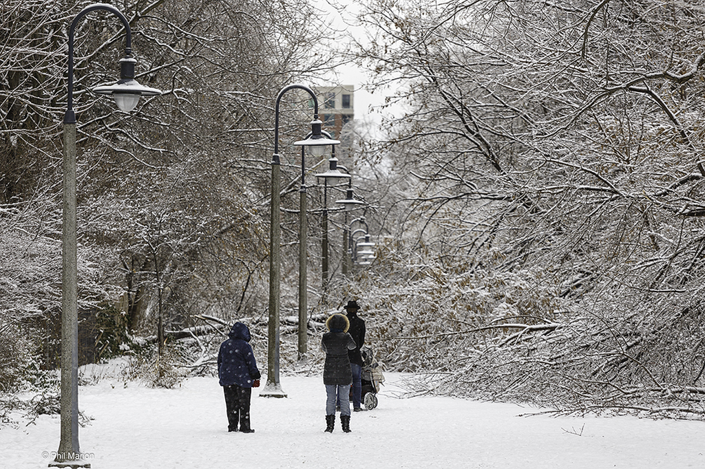 Ice storm 2013: The Kay Gardner Belt Line trail closed
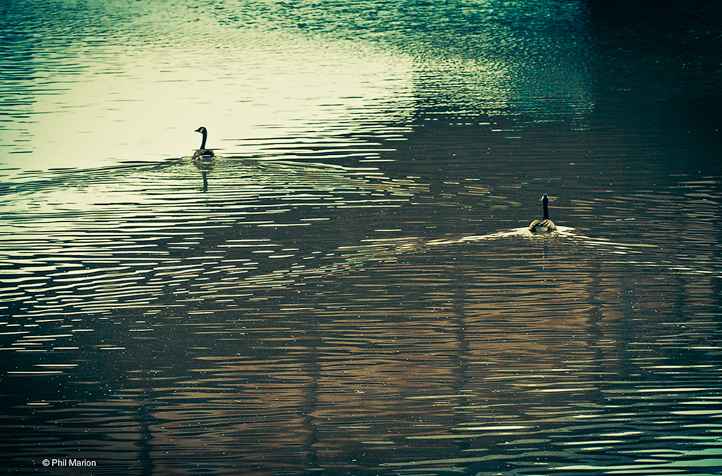 ducks on The Don
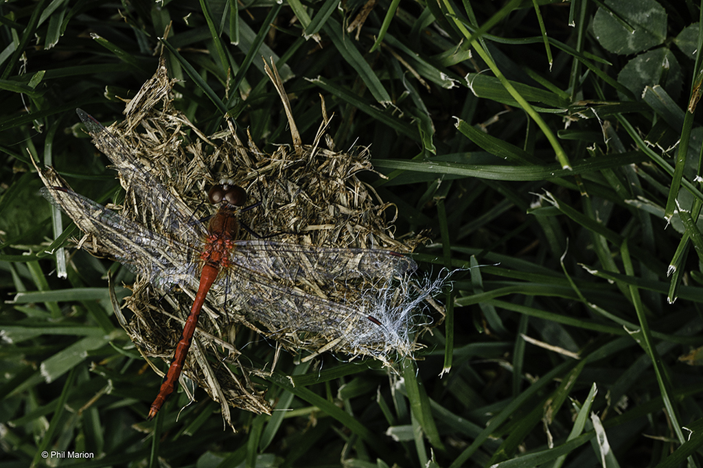 Red dragonfly
 duck in Riverdale Zoo pond
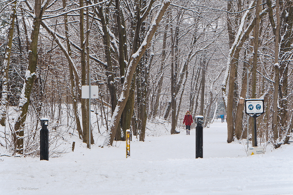 Toronto Belt Line after a snowfall