Lone Primate
Active Member
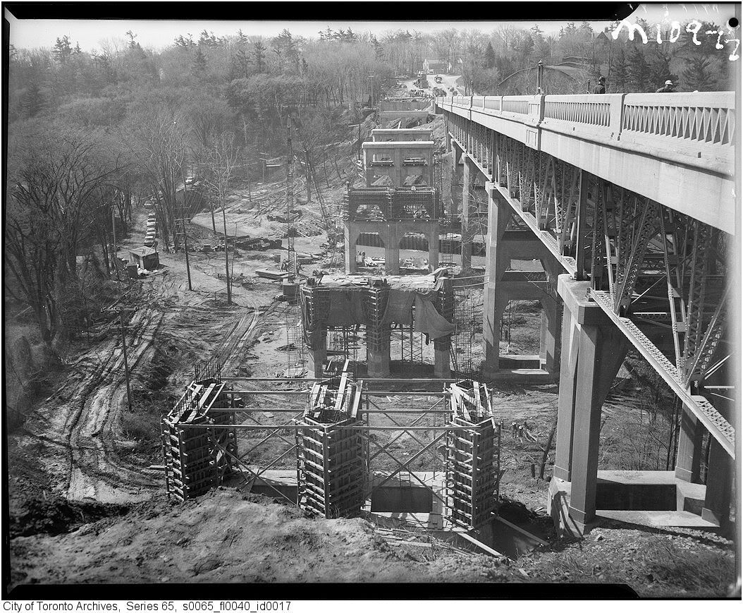
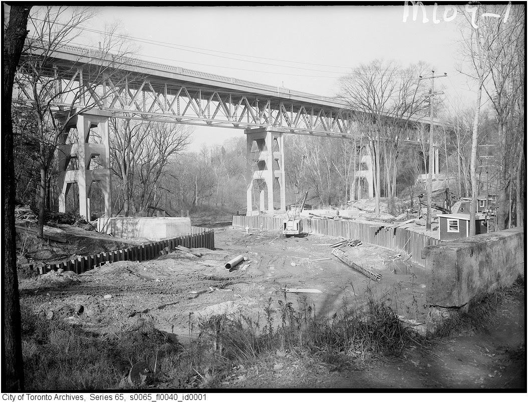
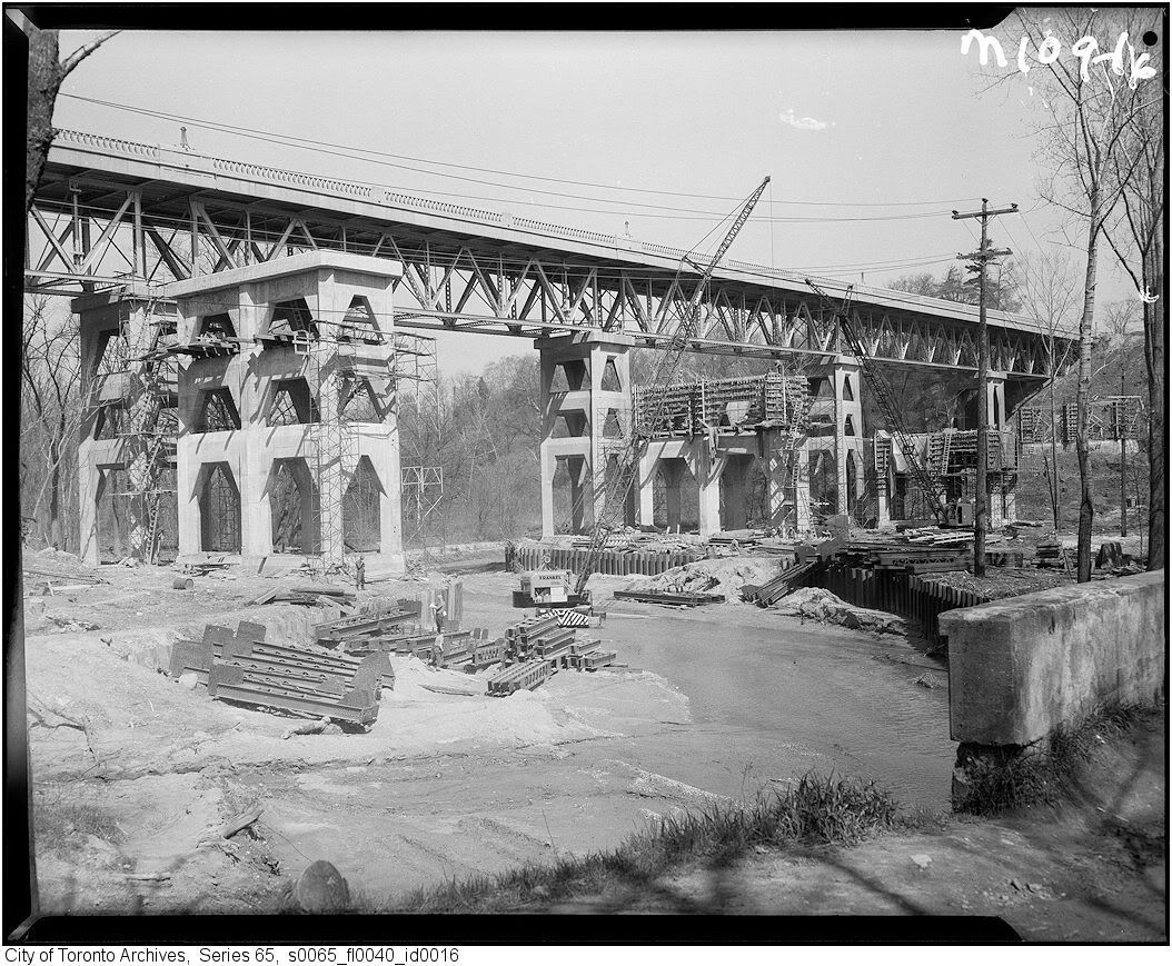
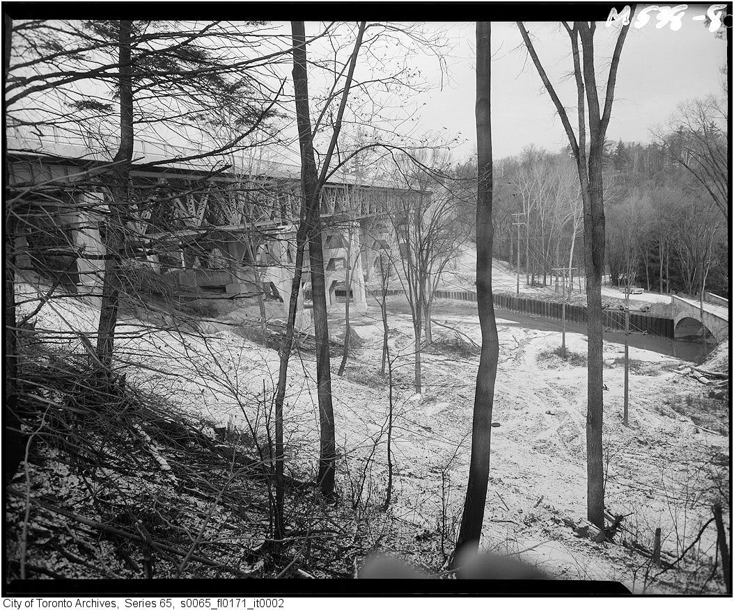
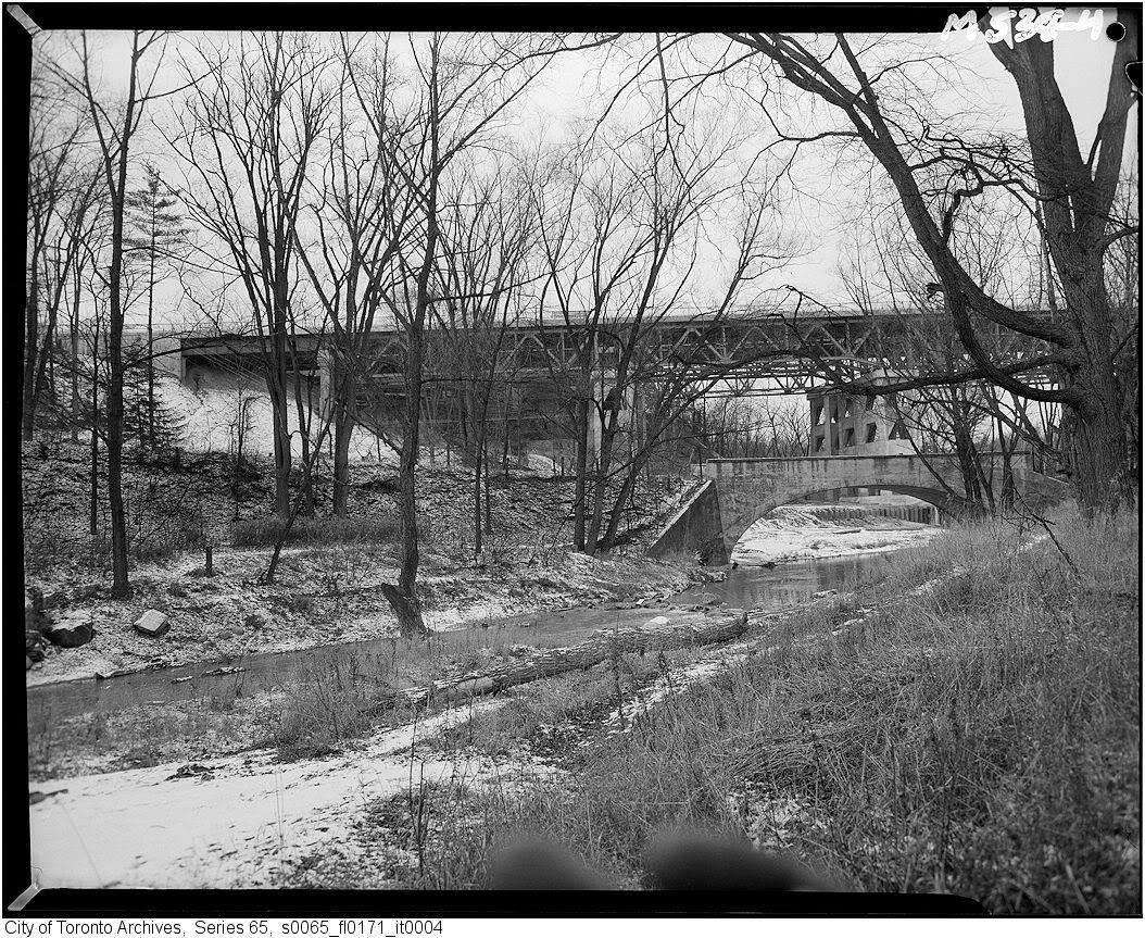
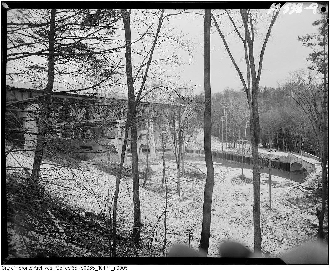
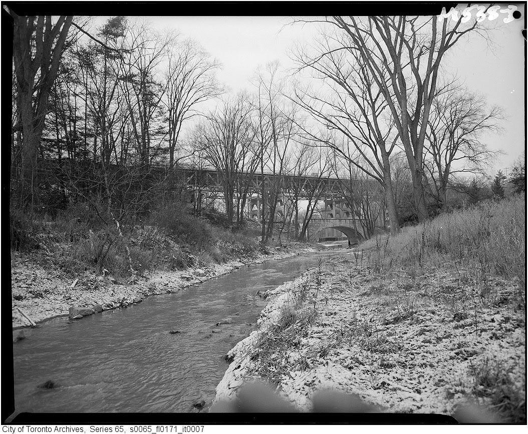
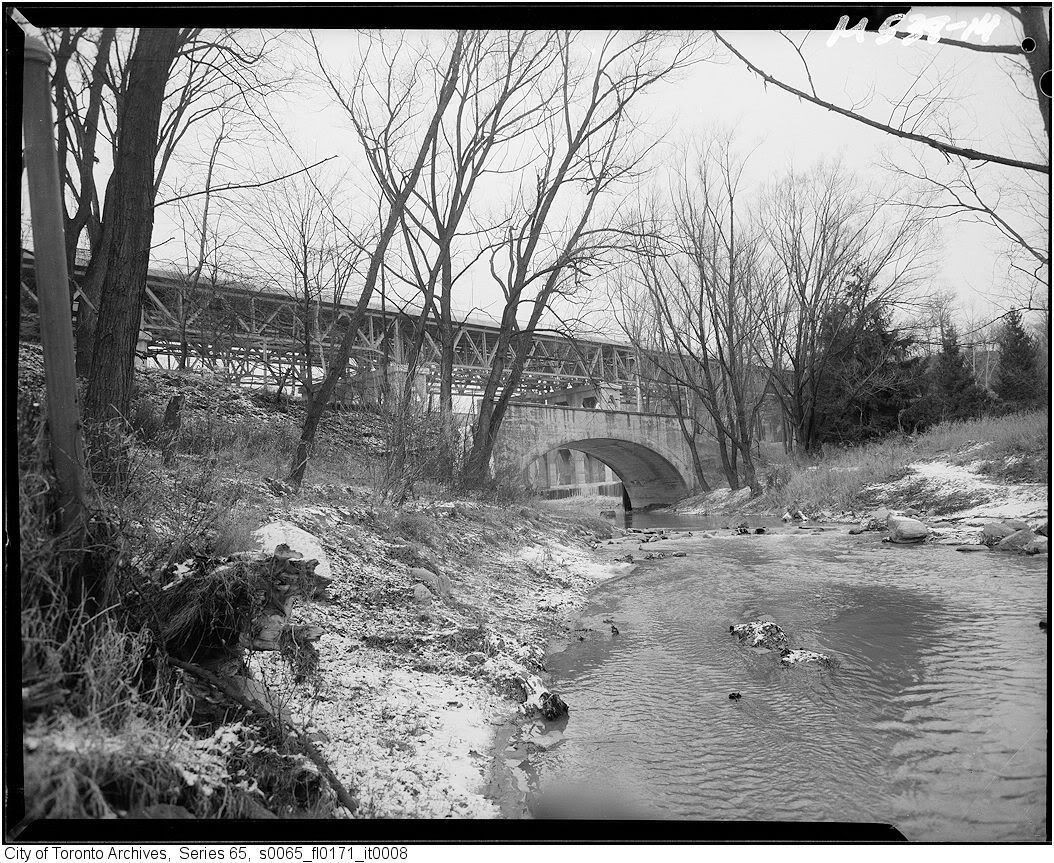
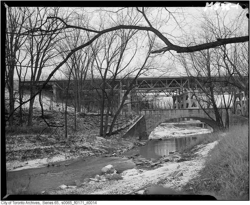
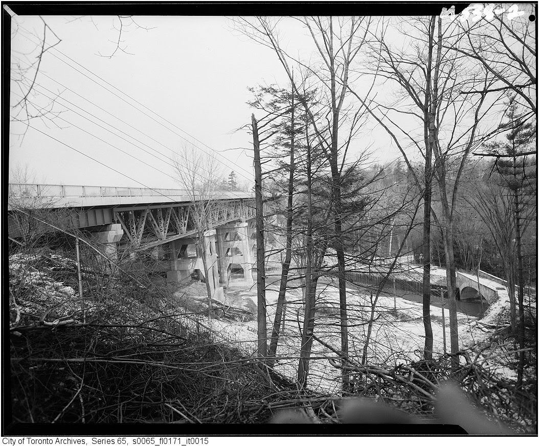
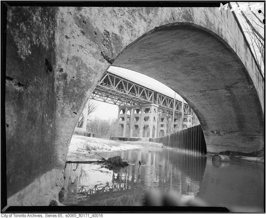
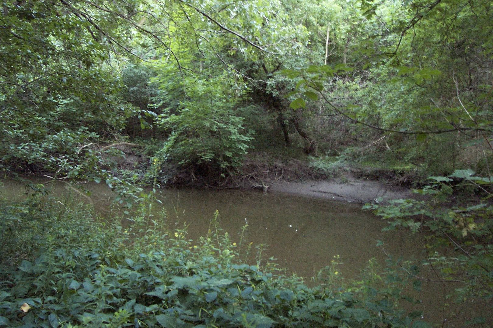
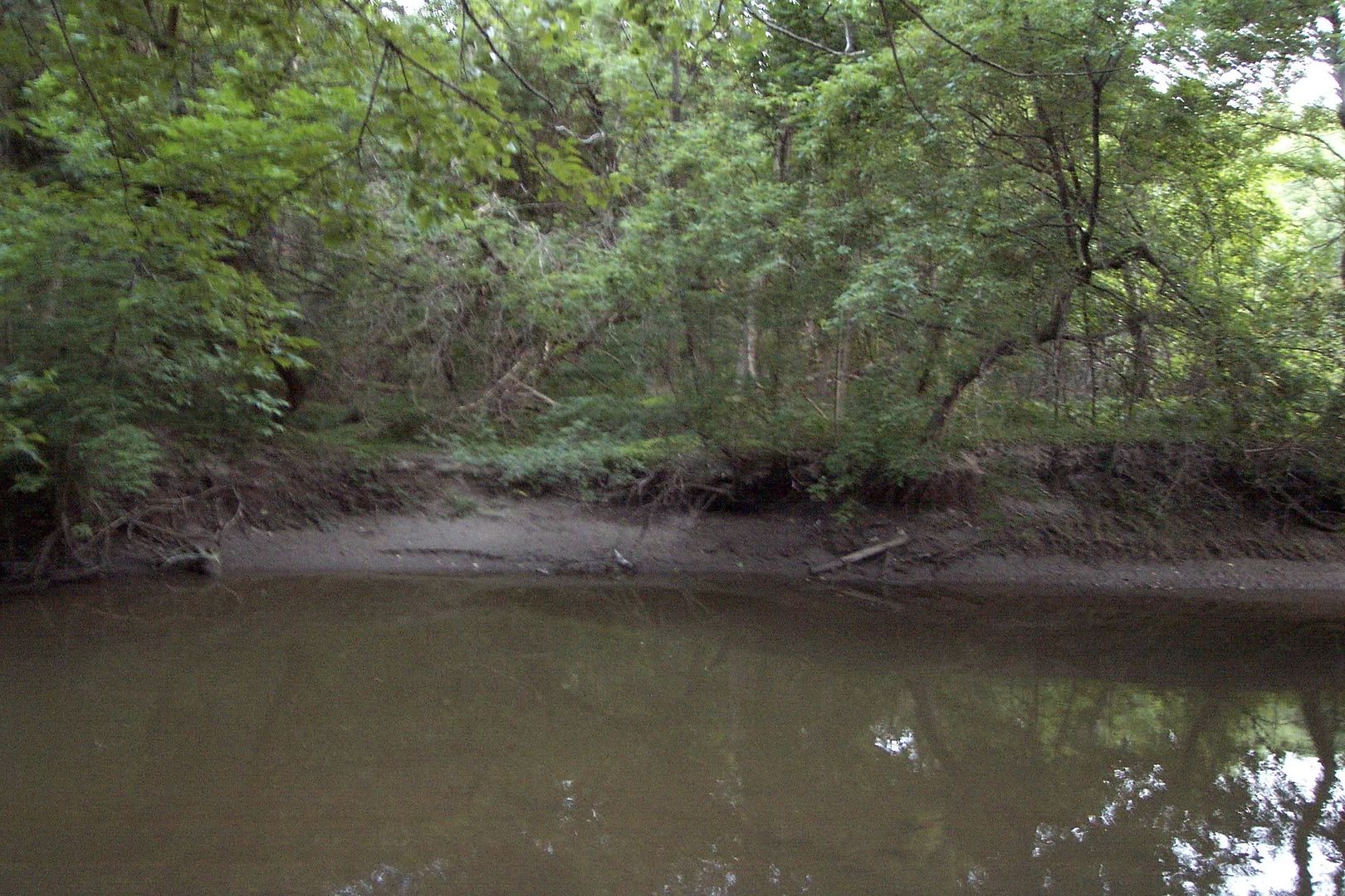
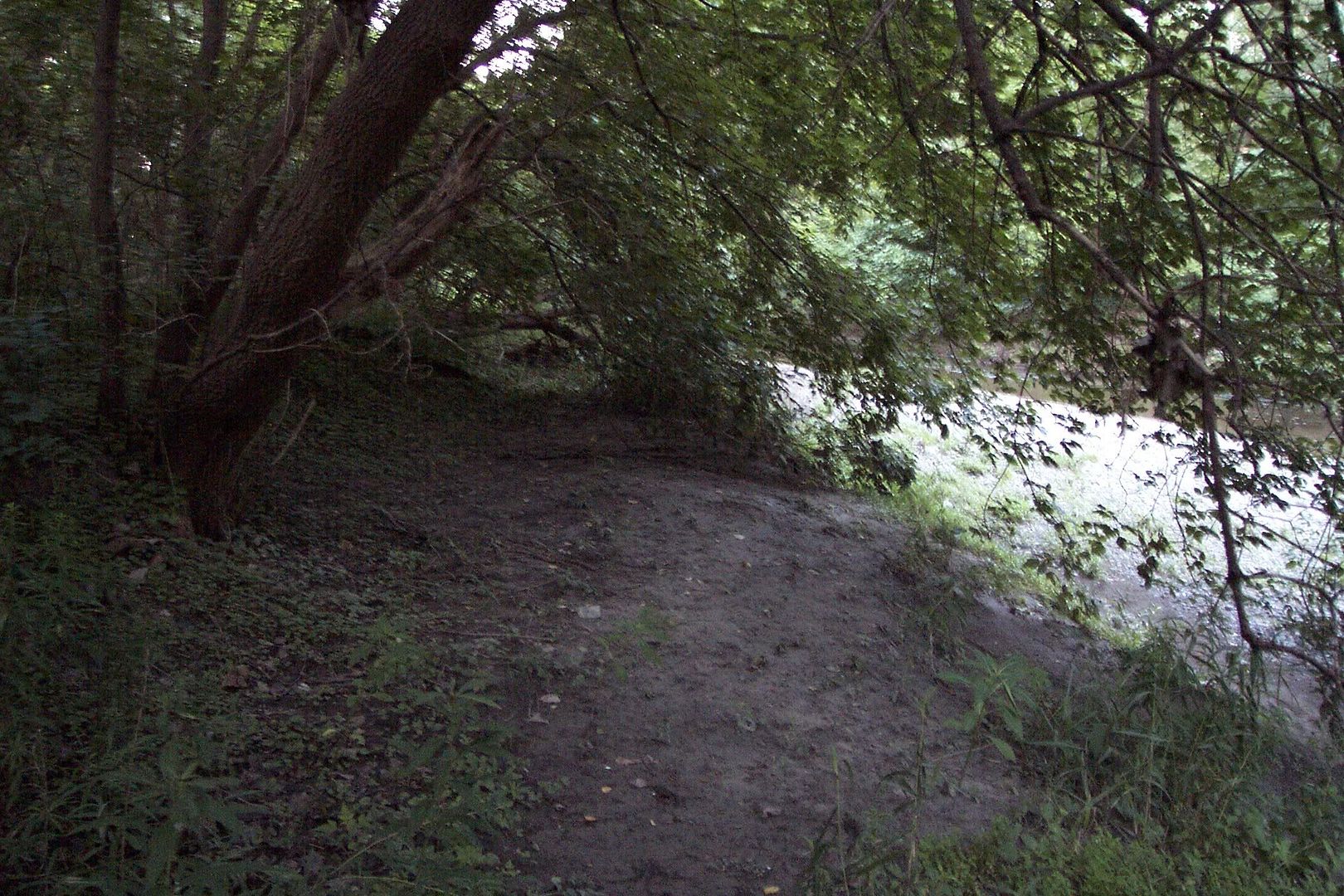
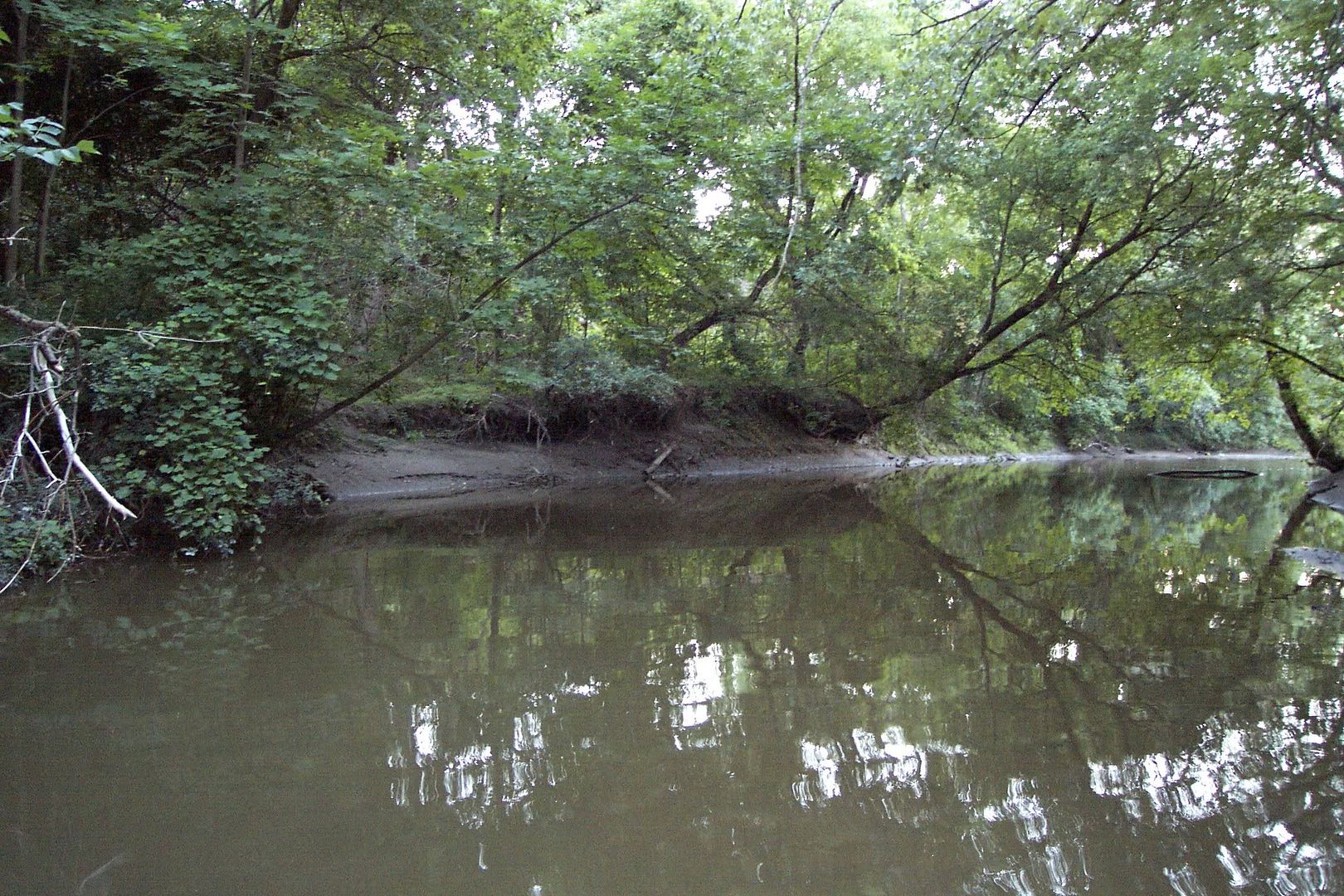
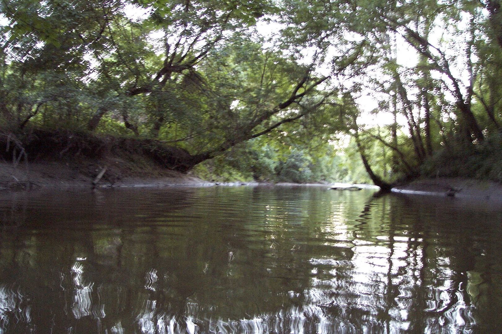
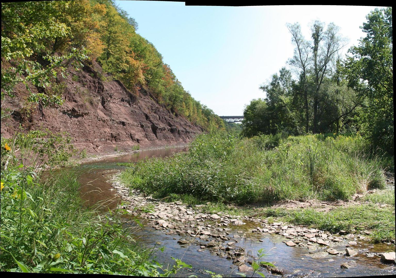
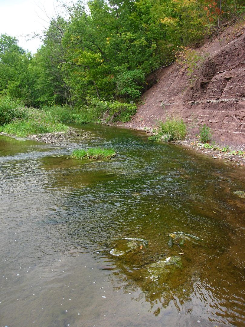
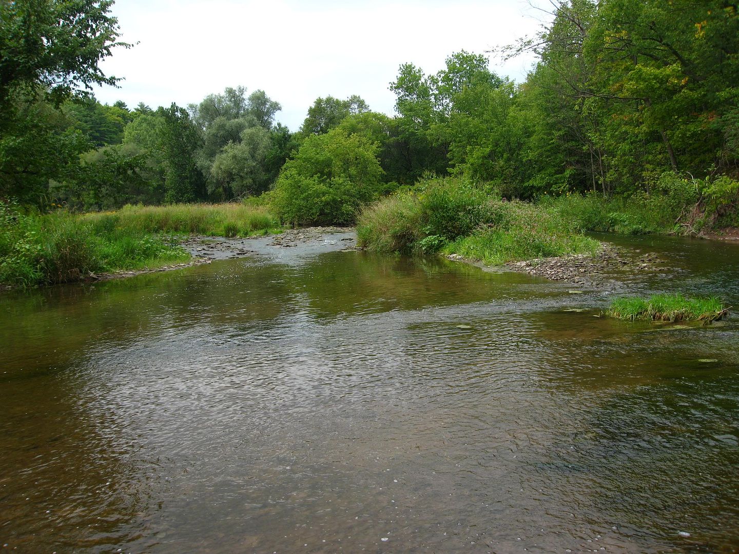
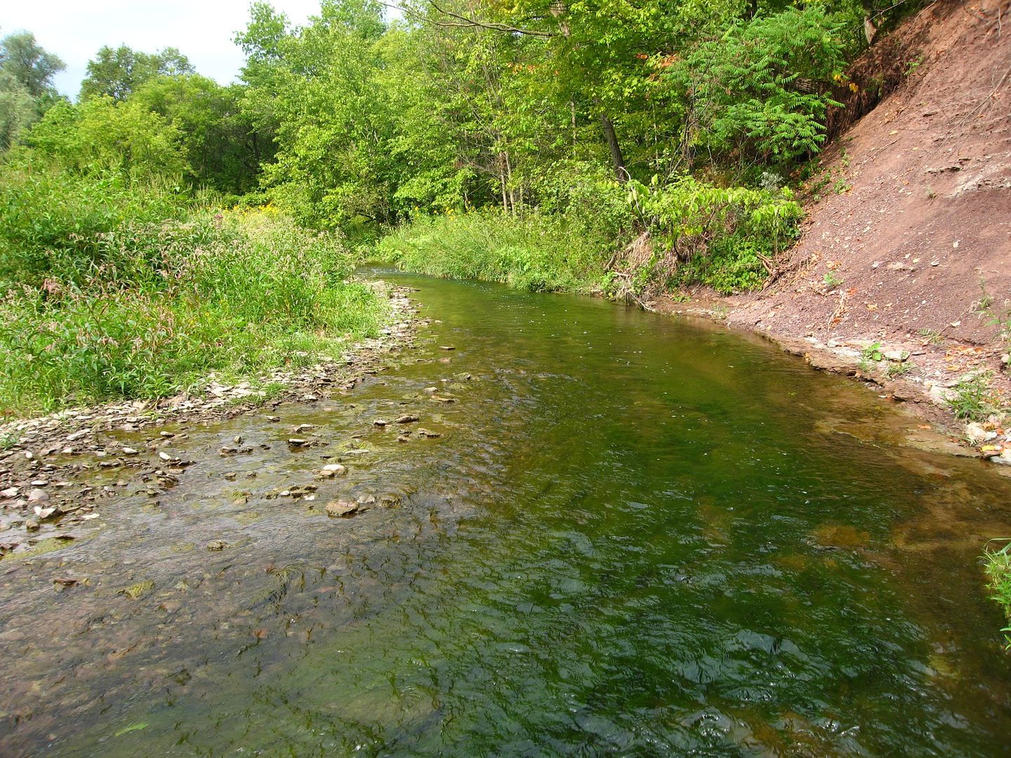
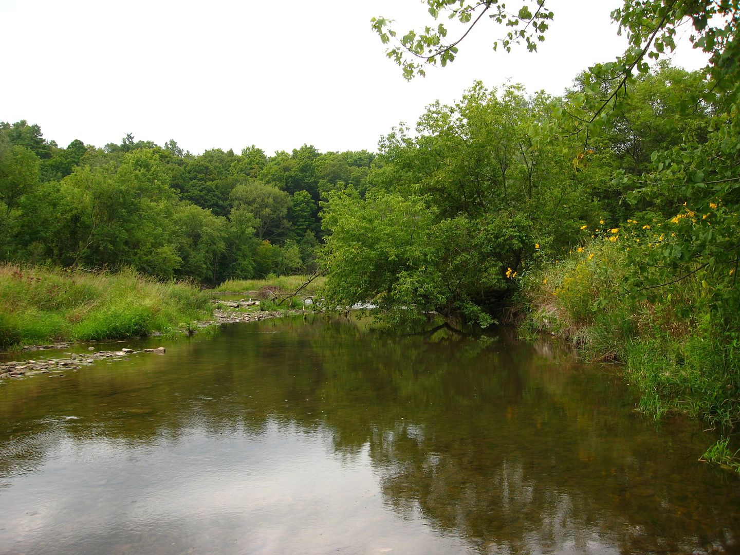
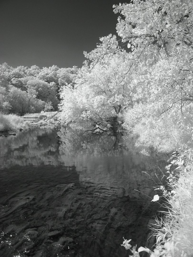
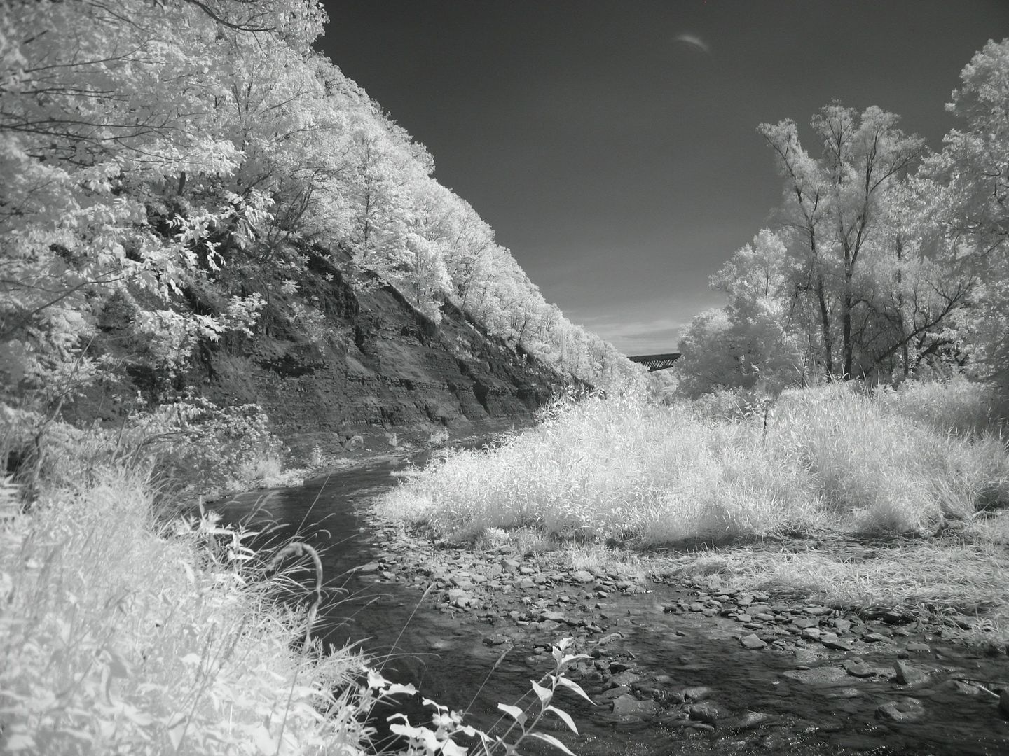
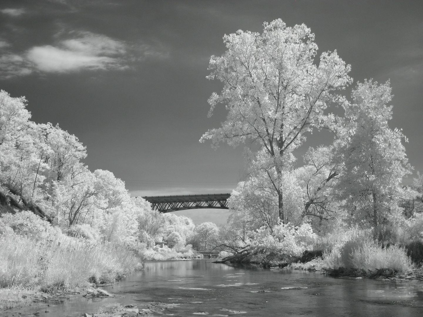
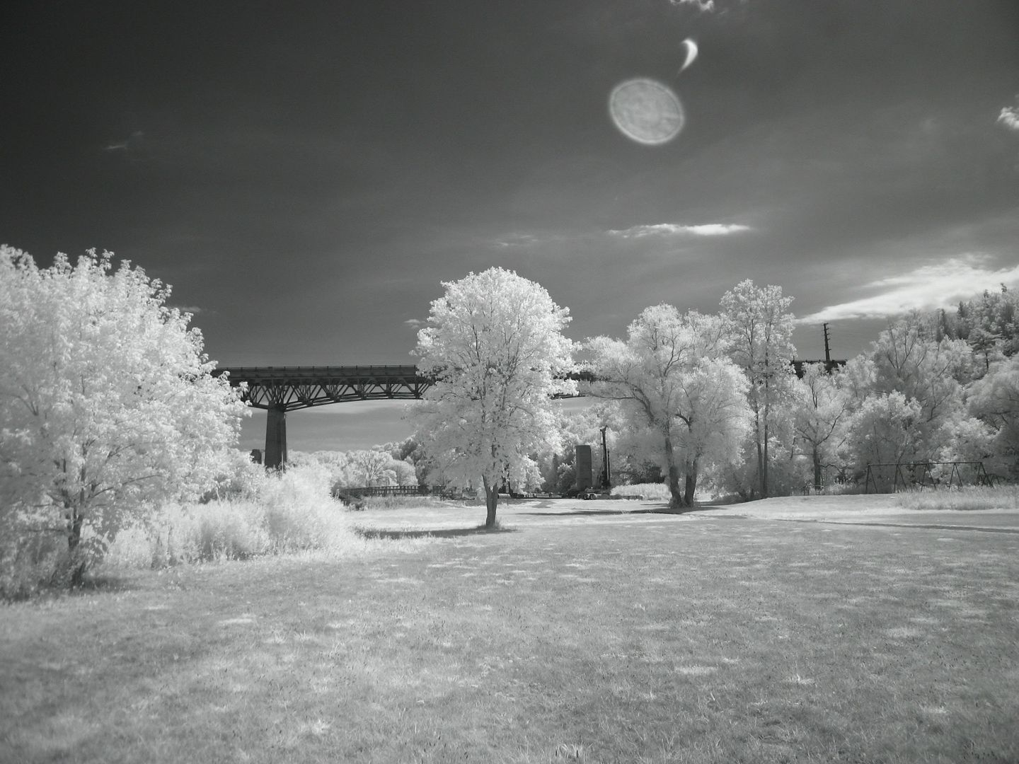
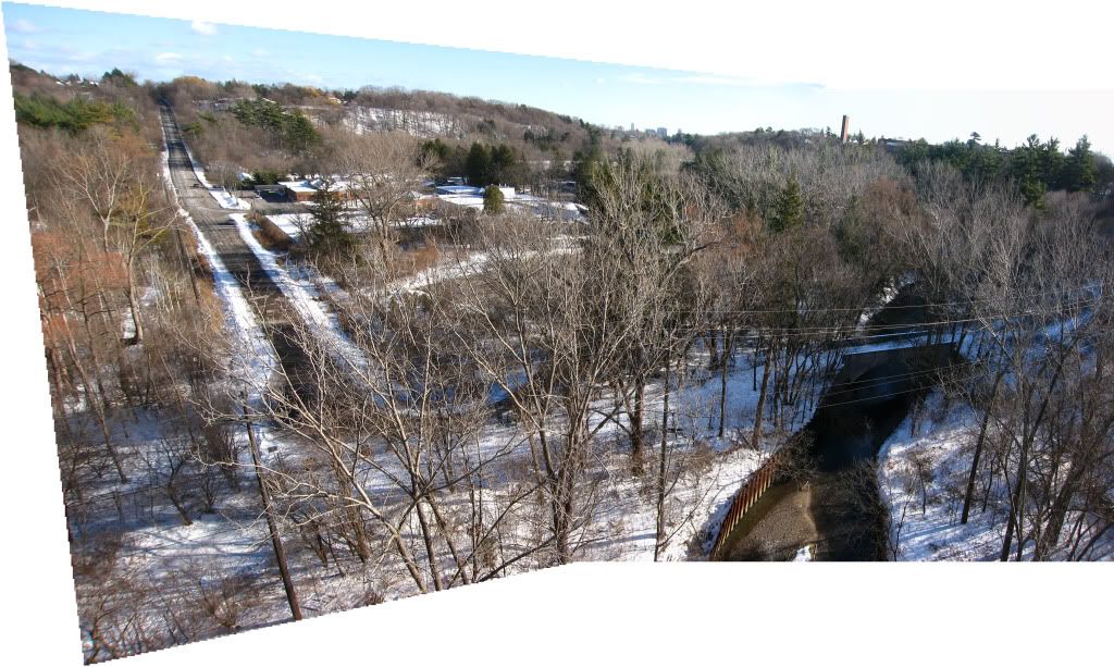
Some views of the East Don River from the 401 southward toward Duncan Mills Road, from about seven or eight years ago.
|
|
|
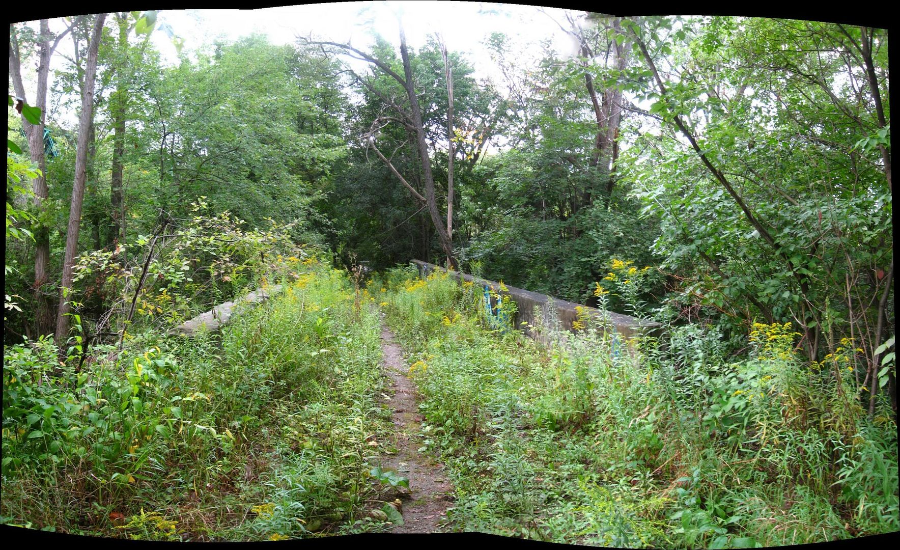
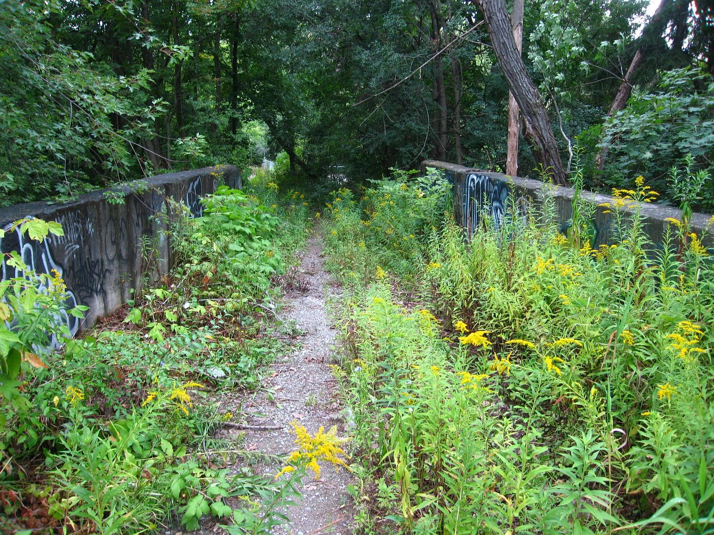
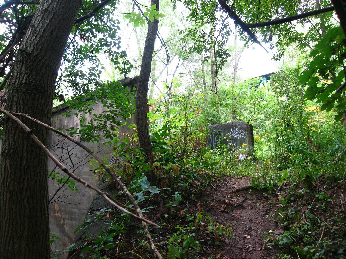
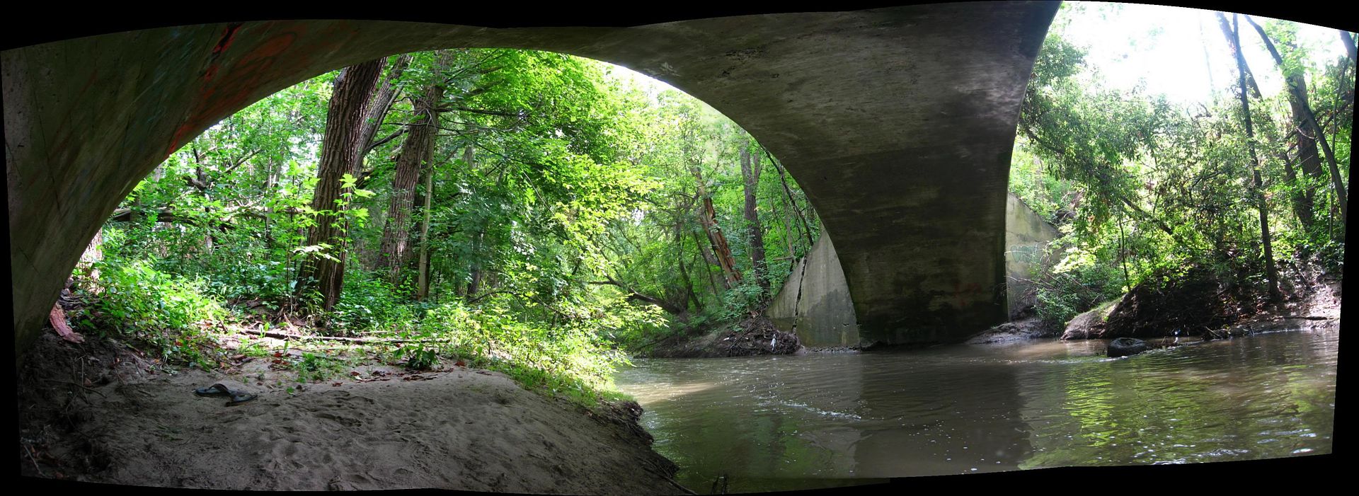
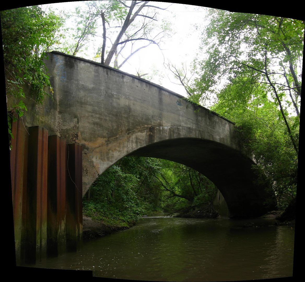
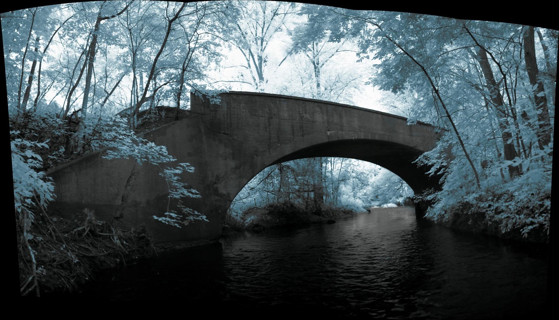
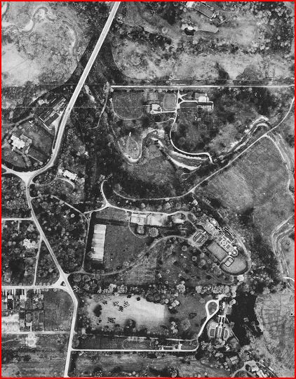
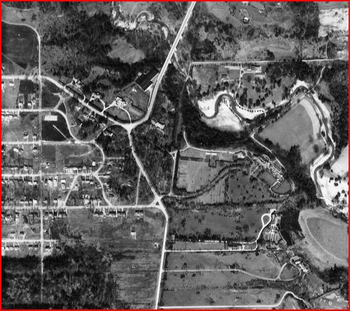
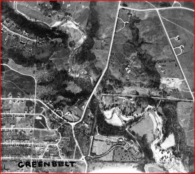
This used to be the bridge that carried Bayview Avenue (if it was even called that yet) over the West Don River. I'm not sure when it was built but I have photo of it from the turn of the last century, so by now it's well over a century old. It's within site of the current Bayview Ave. bridge at Lawrence Avenue. In fact, in winter, you can look down from the east side and see it. I'm glad they've left it. The city archives has a number of shots of this bridge from the early 60s when the Bayview Avenue bridge beside it was being widened.
A plaque and a cleanup/high pressure wash would suit this structure so much. A shame it is derelict.
Where exactly is this bridge located? On the east side of Bayview, by The Cheddington?
It is a charming little thing.
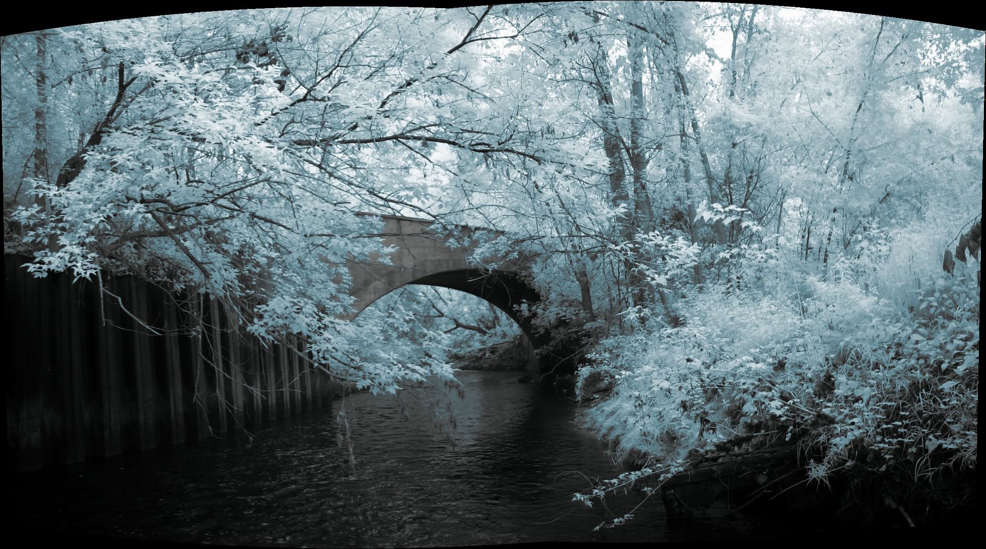
Yeah, it's right here.
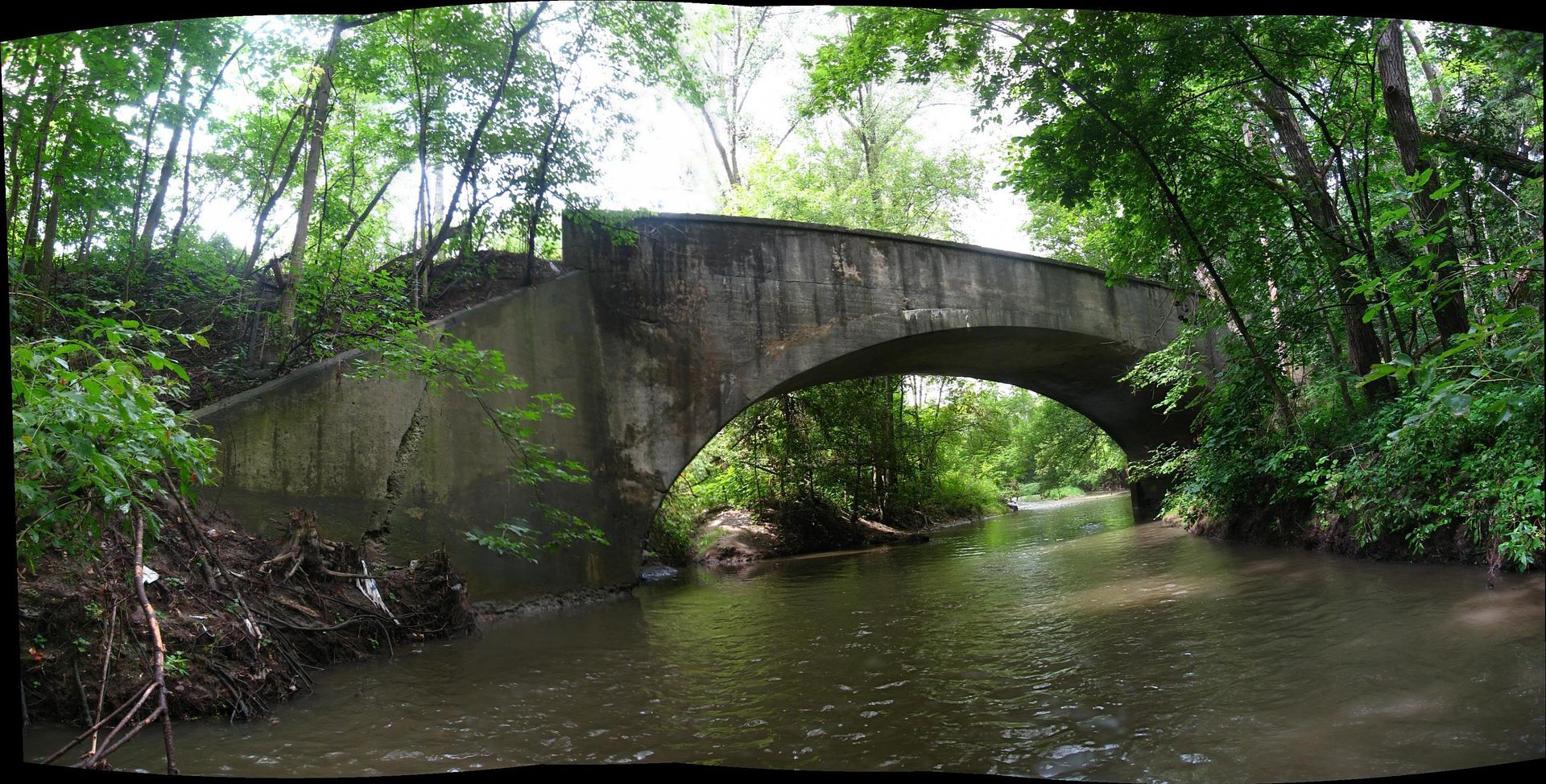
Here's how it looks, viewed from the current bridge. This view looks basically east, more or less along Lawrence Avenue to where it ends at the original road allowance of Bayview Avenue. That's the old bridge there hugging the river.
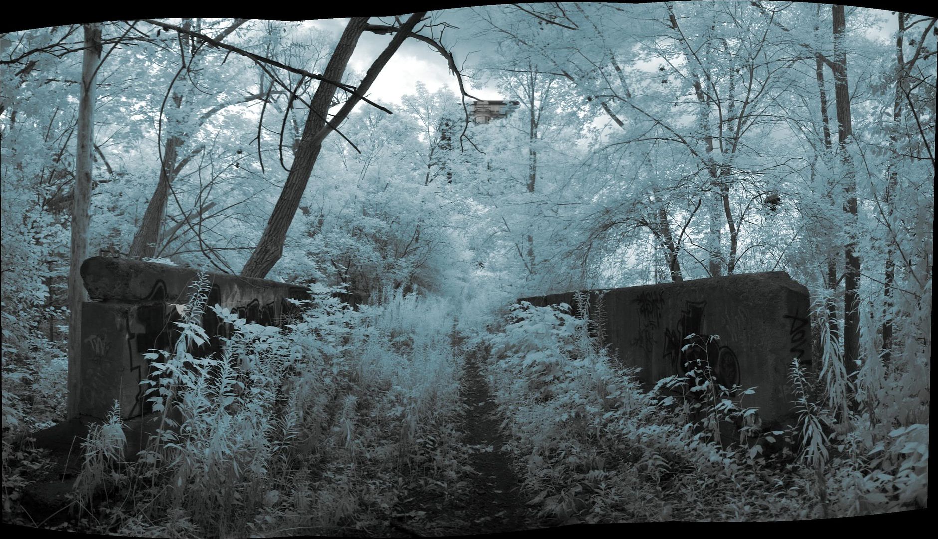
What I'm burning to know is if there was ever a direct route back up the north side. I strongly believe there was, but I can't say for sure, or whether it was straight as an arrow up the other side, or wandered along to the west around the land form to get back up to the top. That I would love to know.
Yeah, it's right here.
Here's how it looks, viewed from the current bridge. This view looks basically east, more or less along Lawrence Avenue to where it ends at the original road allowance of Bayview Avenue. That's the old bridge there hugging the river.
What I'm burning to know is if there was ever a direct route back up the north side. I strongly believe there was, but I can't say for sure, or whether it was straight as an arrow up the other side, or wandered along to the west around the land form to get back up to the top. That I would love to know.
What I'm burning to know is if there was ever a direct route back up the north side. I strongly believe there was, but I can't say for sure, or whether it was straight as an arrow up the other side, or wandered along to the west around the land form to get back up to the top. That I would love to know.