


JSF-1
Active Member
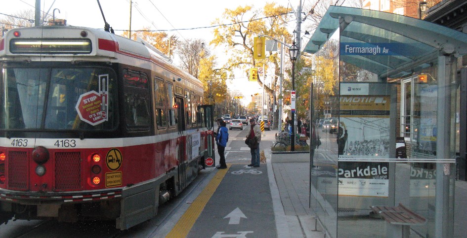
New video this week, looking at the Sherbourne Streetcar. This one is an odd one since for whatever reason it was built to a different loading gauge from the rest of the network. The line had a thinner "Devilstrip" (Devilstrip being the space between the tracks) so only thin body cars could safely operate the line in active service. Peter Witt cars and PCC cars never made it onto the line (although PCC did operate the rush hour SHERBOURNE TRIPPER).