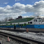
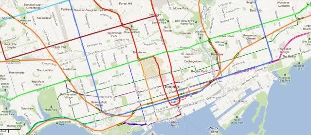
Just thought I'd add the final layer of a proper regional rail service. I've only added the lines and stations that would run through a new downtown tunnel. This imagines a fully electrified network with european EMU's and a large tunnel under inner Toronto. As the system would be fully fare integrated with the TTC, plus much better acceleration, would mean more stations both in the suburbs and the inner city.
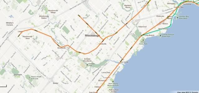
This plan involves one tunnel of about 6 miles of tunnel in the centre and 6 underground stations. One option worth considering is a short underground branch up Hurontoronto through MCC with at least three underground stations. This would cover the busiest section of the proposed LRT line.
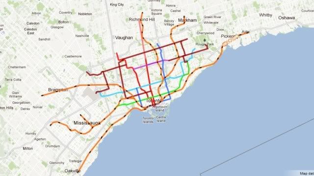
Overview
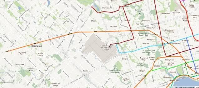
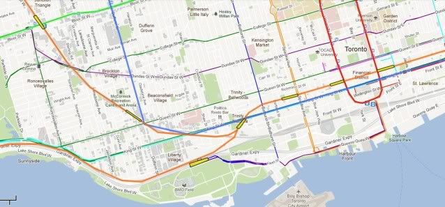
The Southwest. A few extra suburban stations and the MCC branch. Normal GO services would continue further out.
The Northwest
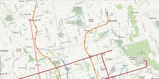
The North
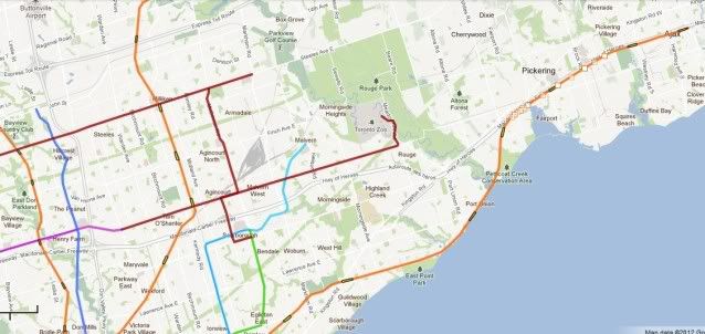
Eastern Lakeshore.
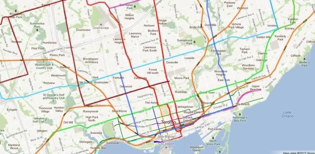
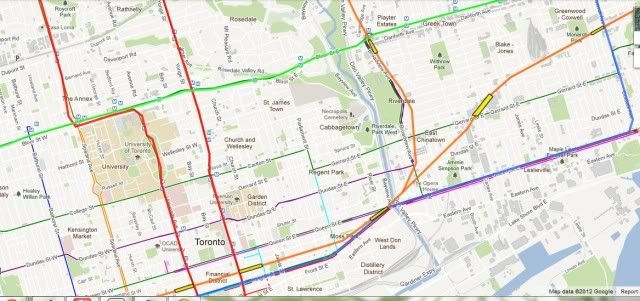
The centre
Here you can see the common section where routes combine. There are plenty of interfaces with the Subway and LRT network.
Greater detail of the inner stations


")
