News   Dec 20, 2024
 3K     9 
News   Dec 20, 2024
 1.1K     3 
News   Dec 20, 2024
 2K     0 

Montréal Transit Developments


During the official delay announcement, they emphasized that they want to use this winter for extra testing. They seemingly want to avoid an Ottawa-style embarrassment.
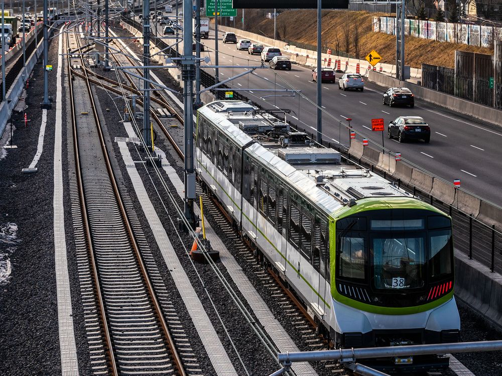
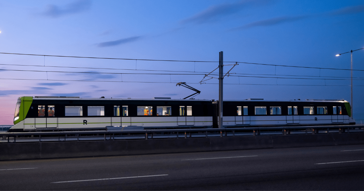
The new target is Spring 2023. Montreal will gain 16.6km and 5 stations of light metro.

1666455377288.png


Also, REM released a new video showing the stations on the South Shore branch.

One notable thing to me is they switched to calling the REM a light metro in English in the announcement. This matches what they call it in French.

More info about the delay and what needs to be done here:
 
Good progress. While some of the stations are a bit too close to the GO train parking lot in a field by a highway model for my liking, imho Édouard-Montpetit is a Canadian transit triumph.

This gets defended by the same people who complain about GO "Garage Mahals" that there is lots of development planned around the stations so its ok.

Personally I dont think that you should build new transit in the middle of nowhere and then force development around it, while neglecting other already established neighbourhoods, but then often times the people in those old neighbourhoods conplain when a transit line spurs new development in their sleepy area anyways, so its lose-lose. People want a new billion dollar transit line in their neighbourhood without any new development or change to their area, its a pipe dream. Sleepy towns and transit dont mix.
 
This gets defended by the same people who complain about GO "Garage Mahals" that there is lots of development planned around the stations so its ok.
Yes, I agree it's a pretty silly argument. Commuter rail is unusual in Canada in that the stations are usually removed from the town centre. In most of the world, the train station is the town centre.

On the other hand I can't fault GO for wanting to increase development around its existing stations, most of which have been barren wastelands since the 60's. That's good policy, or at least it's making the best of a bad situation.
Yet I'm not quite as optimistic as forumers who claim that this will shift town centres over to the where the GO station is.
 
Yes, I agree it's a pretty silly argument. Commuter rail is unusual in Canada in that the stations are usually removed from the town centre. In most of the world, the train station is the town centre.
Usually? The Kitchener line hits near the centres in Weston, Malton, Brampton, Georgetown, Acton, Guelph, Kitchener, Stratford, St. Marys, and London. All three pre-amalgamation centres of Mississauga are hit by either the Lakeshore West or Milton Lines. Milton is poor, but if they added better pathways, it's only a 10-minute walk from the centre of Milton to the end of the platform. If it ever gets extended, the Milton Line goes right to central Galt. There's several other examples in Toronto.

The commuter train line in Vancouver hits the centres.
 
Yes, I agree it's a pretty silly argument. Commuter rail is unusual in Canada in that the stations are usually removed from the town centre. In most of the world, the train station is the town centre.

On the other hand I can't fault GO for wanting to increase development around its existing stations, most of which have been barren wastelands since the 60's. That's good policy, or at least it's making the best of a bad situation.
Yet I'm not quite as optimistic as forumers who claim that this will shift town centres over to the where the GO station is.
There are a few issues that lead to this: We can call them the 4 horsemen of bad station locations.

The first one is all of the towns that were established before the creation of the railroad. Typically when railroads were built, they tried to build as direct of a path as possible - they wouldn't purposefully try to create diversions or weirdly loopy routes just to serve small towns. This led to towns being serviced by stations that were several km away from the actual town. If the town was large enough, it may have a branch line servicing it. Examples of these kinds of station include Huntington on Long Island, which was served by an LIRR station 2km away (the area around the station was later developed as "Huntington Station"), Princeton in New Jersey is one of the few remaining towns served by branch lines, with the dinky running from Princeton to Princetown Junction, where the former PRR Mainline is located (today it's part of the Northeast Corridor), and finally for a more local example, Maple Station on what is today the Barrie Line used to be called Richmond Hill Station in the latter half of the 1800s, despite being 5km away from Richmond Hill (today it's the Richmond Hill Heritage Area), although in this case Maple eventually starting growing around the station and the station was thus renamed.

The next horseman is towns that developed around railways, however due to the mass closure of raillines in the 60s-80s are no longer served by raillines, the former corridors have been developed over, and now the only way to serve them is via alternate still existing corridors that are far less convenient, or building a new ROW that isn't likely to be more convenient. There are numerous examples of such closures throughout the US and Canada, however I think one of the easiest examples to point to would be Ottawa and the closure of Ottawa Union Station.

The next horseman is a sort of offshoot to this idea, and is stations that were relocated on the same line due to more parking being available at a new location. Prime example of this is Unionville Station on the Stouffville Line, it used to be on Main Street Unionville 350m north of Highway 7, but GO relocated it to a big empty field on Enterprise road because they needed parking spots.

The Final Horseman is suburbanization. In the post-war era of suburban development where car is king, suburbs were built without thought of any town center, or at least ones which would theoretically have rail access, so they didn't. This is why sites like MCC are nowhere near any form of rail.
 
The Final Horseman is suburbanization. In the post-war era of suburban development where car is king, suburbs were built without thought of any town center, or at least ones which would theoretically have rail access, so they didn't. This is why sites like MCC are nowhere near any form of rail.
Yup. MCC is a catastrophe or urban planning. It should have been built around Cooksville GO and south to Dundas.
 
Yup. MCC is a catastrophe or urban planning. It should have been built around Cooksville GO and south to Dundas.

I can’t fault Square One being where it is, and early Town of Mississauga clustering around the mall (the same thing happened in Bramalea, with Chinguacousy Township building its civic centre next to the new shiny mall). Port Credit and Streetsville were still separate municipalities when Square One became the civic focus.

But the new City of Mississauga should have then tried to move the centre of gravity of its emerging city centre southward, towards Cooksville, rather than north and west, especially when citing the new civic centre.
 

Back
Top