News   Jul 04, 2024
 162     1 
News   Jul 04, 2024
 268     0 
News   Jul 03, 2024
 833     0 

Miscellany Toronto Photographs: Then and Now

Just as interesting is that in 1932, even at only two lanes, Kingston Rd/Hwy 2 was already a "highway" as we recognize it today: from the pavement markings to the apparent smooth engineering of the Rouge River crossing--and why not, it was already the "main drag" to points east...
 
Looking east towards the Rouge River Valley

Very nice Goldie. I rarely get out of downtown these days, but I actually went past that very spot Friday night. The campground at the bottom of the hill must have been very busy as there was a distinct smell of burning wood all the way across the valley. I wonder how long it has been there.
 
Couldn't help but notice that in the skyline pic, there's a stack on the left hand side, in a somewhat similar location to where the CN Tower is today. This reminded me of the second set of pics and the growth of the large tree in front of the house almost as if the cement stack grew to become the CN Tower.

The only then and now I can do right now:

1965:

TorontoSkyline-1965CBWss.jpg


1985:

TorontoSkyline-1987CBWss.jpg

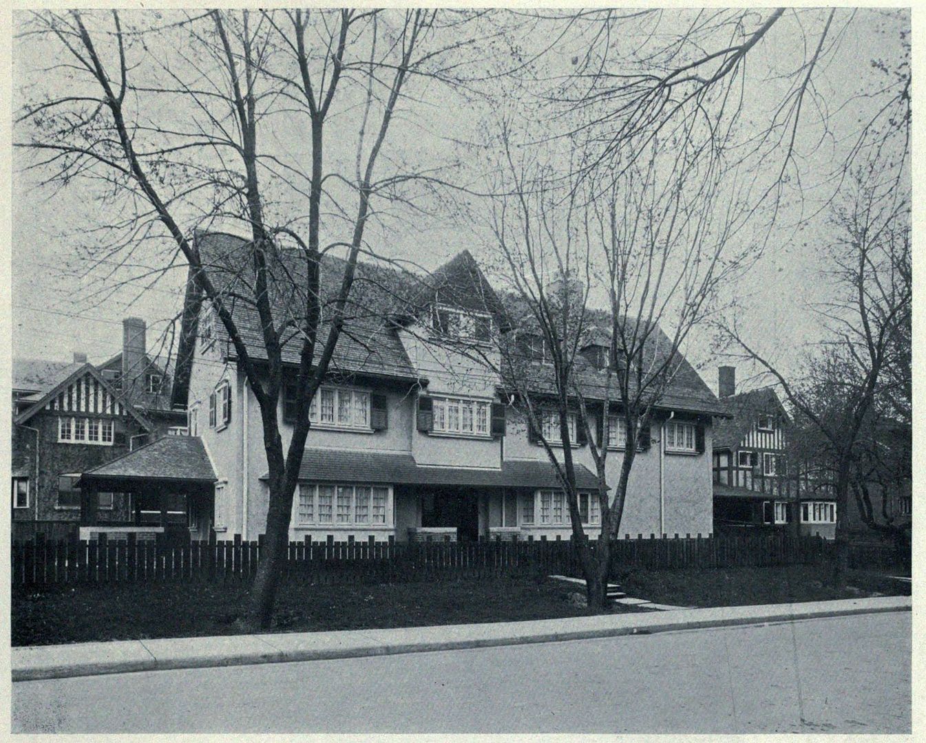
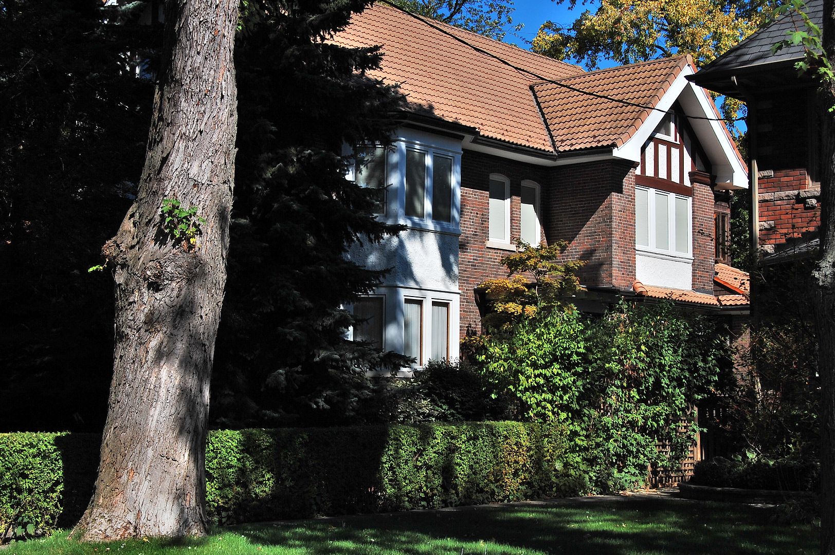
Then. 18 Clarendon Avenue. c1910.

60618ClarendonAvec1915.jpg


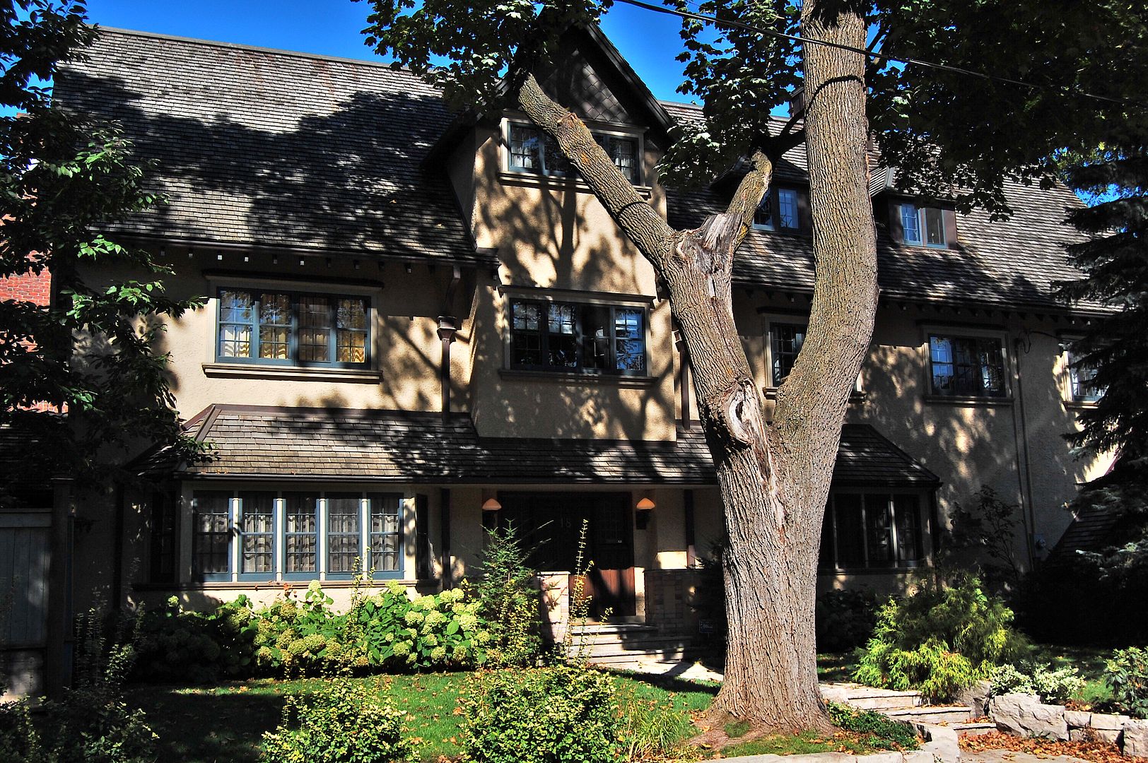
Now. September 2011.

607.jpg
 
Last edited:
While at the June Stratford Nostalgia Show, I purchased this pic of Union Station and the York Street Bridge circa 1908. It is a William James photograph #594. Has anyone seen this pic before??
http://www.flickr.com/photos/railmus/7176763235/

Found the answer to my own question: York Street Bridge with Second Union Station in Background, 1908. City of Toronto Archives, Fonds 1244, Item 594.
 
Was that not the FIRST Union Station?

I believe we currently have the THIRD union station on that site. The first one I recall was originally a very minor building - might not have been officially called Union Station either but was on the same site.
 
Here are images of four different stations in Toronto's central downtown.
They occupied three different sites.
And only two appear to be called "UNION."

The Grand Trunk on a site west of York:

GrandTrunk1858.jpg


The Great Western, east of Yonge (where the Sony Centre is presently located).

GreatWestern1870.jpg


The first? UNION, west of york:

Union1908.jpg


Current UNION, east of York:

currentUnion.jpg


Great Western (circled) - at site of future Sony Centre:

GreatWesterncircled.jpg


Great Western, abandoned as a wholesale fruit market - 1951:

GreatWesternrailstation1951.jpg
 
Very nice Goldie. I rarely get out of downtown these days, but I actually went past that very spot Friday night. The campground at the bottom of the hill must have been very busy as there was a distinct smell of burning wood all the way across the valley. I wonder how long it has been there.

It has been a campground since the Brigadoon restaurant burned down, 20+ years ago.

This past weekend there was festivities in honour of it being named Canada's first National Urban Park.
 
Here are images of four different stations in Toronto's central downtown.
They occupied three different sites.
And only two appear to be called "UNION."

The Grand Trunk on a site west of York:

GrandTrunk1858.jpg


The Great Western, east of Yonge (where the Sony Centre is presently located).

GreatWestern1870.jpg


The first? UNION, west of york:

Union1908.jpg


Current UNION, east of York:

currentUnion.jpg


Great Western (circled) - at site of future Sony Centre:

GreatWesterncircled.jpg


Great Western, abandoned as a wholesale fruit market - 1951:

GreatWesternrailstation1951.jpg

railmus's link to the Torontoist article and your panoramic picture reminds me of how much train stations must mean to new arrivals to our city. I suppose most come by air now. My grandfather arrived at the second Union Station in 1918. He never failed to mention it if we were ever in the vicinity. Gramps would visit the present Union Station on his days off in the 60s just to sit.
 

Back
Top