Goldie
Senior Member
Super-wide morningside


Last edited:

My! Hasn't Goldie been active lately?
Great to see some "Thens" that are not from the Toronto Archives. I like the Archives quite a bit, but these are a refreshing change.


Here's a Scarborough location with 168 years of history!




Never knew there was a "Donlands Station" on the railway line close-by the present intersection of Don Mills Rd. and Wynford Dr.
It's highlighted on this detail of a 1932 map.
I went exploring to find any remnant of that station and found only this bit of gravel beside the tracks - could it be?


Thanks for the comment.
Here are a couple more sourced from other archives:


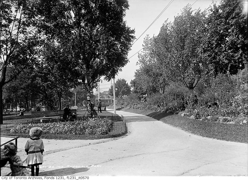
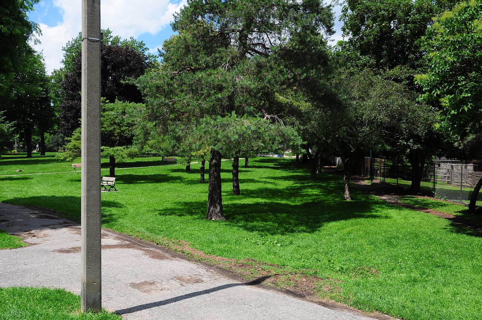
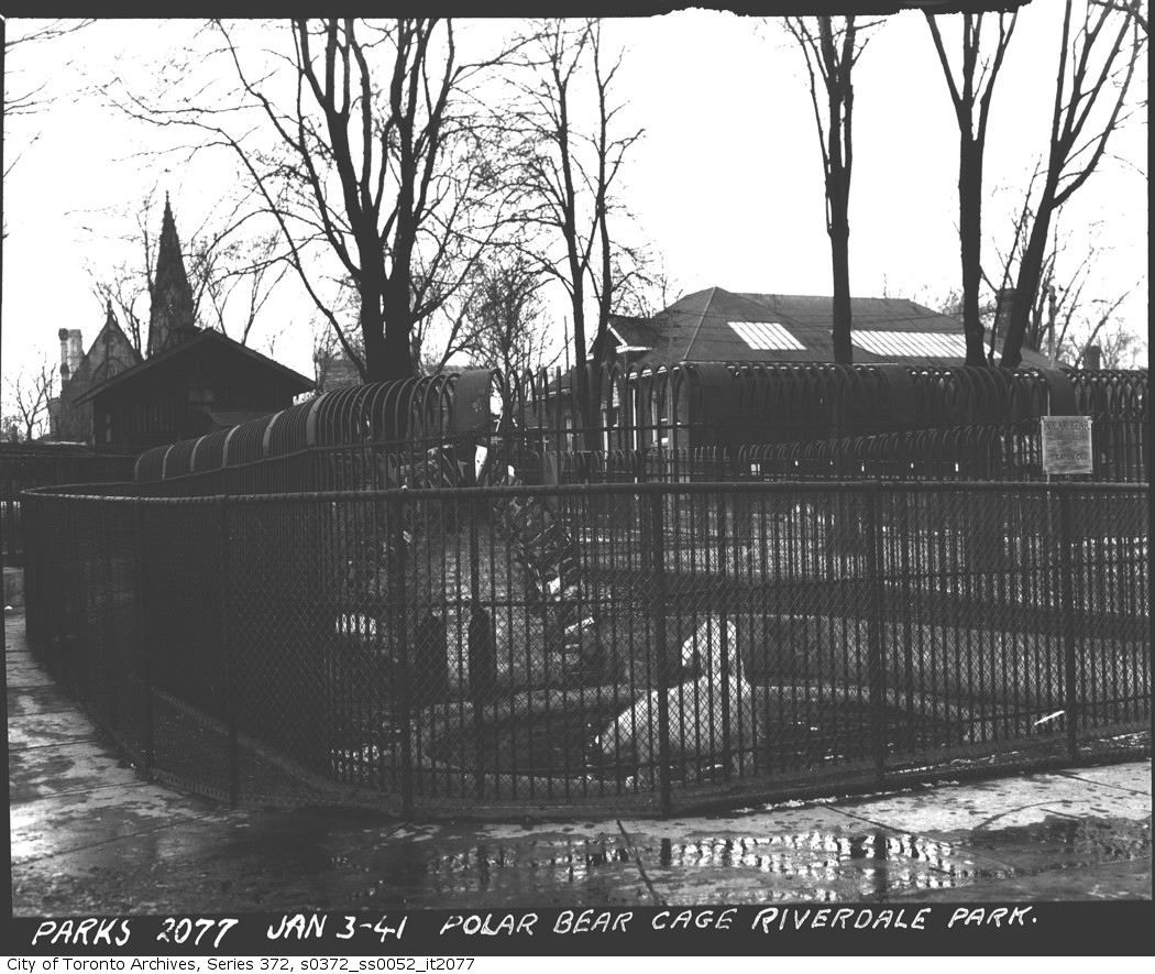
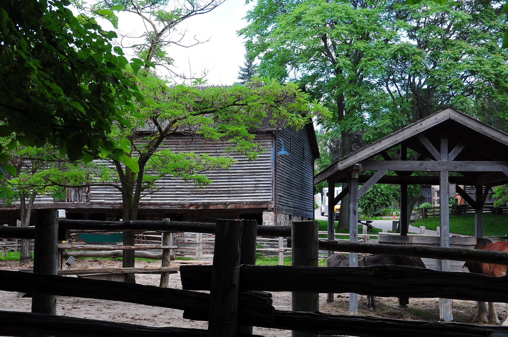
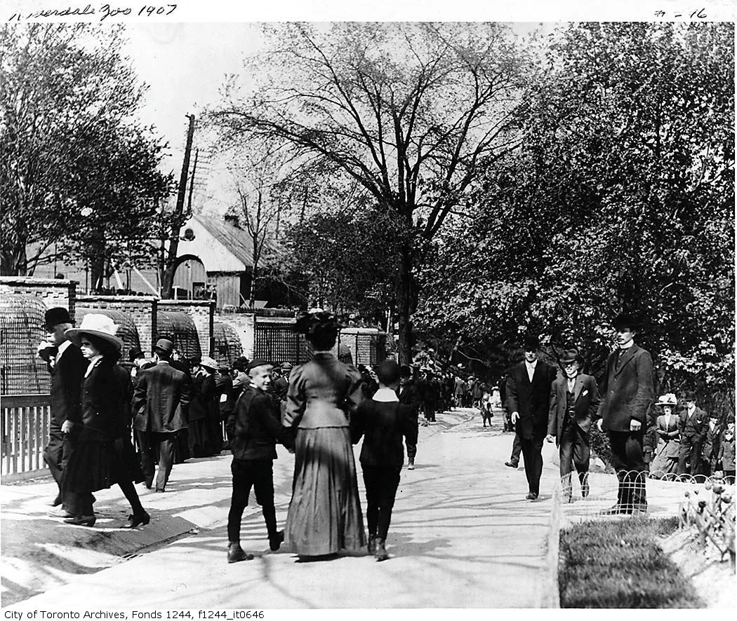
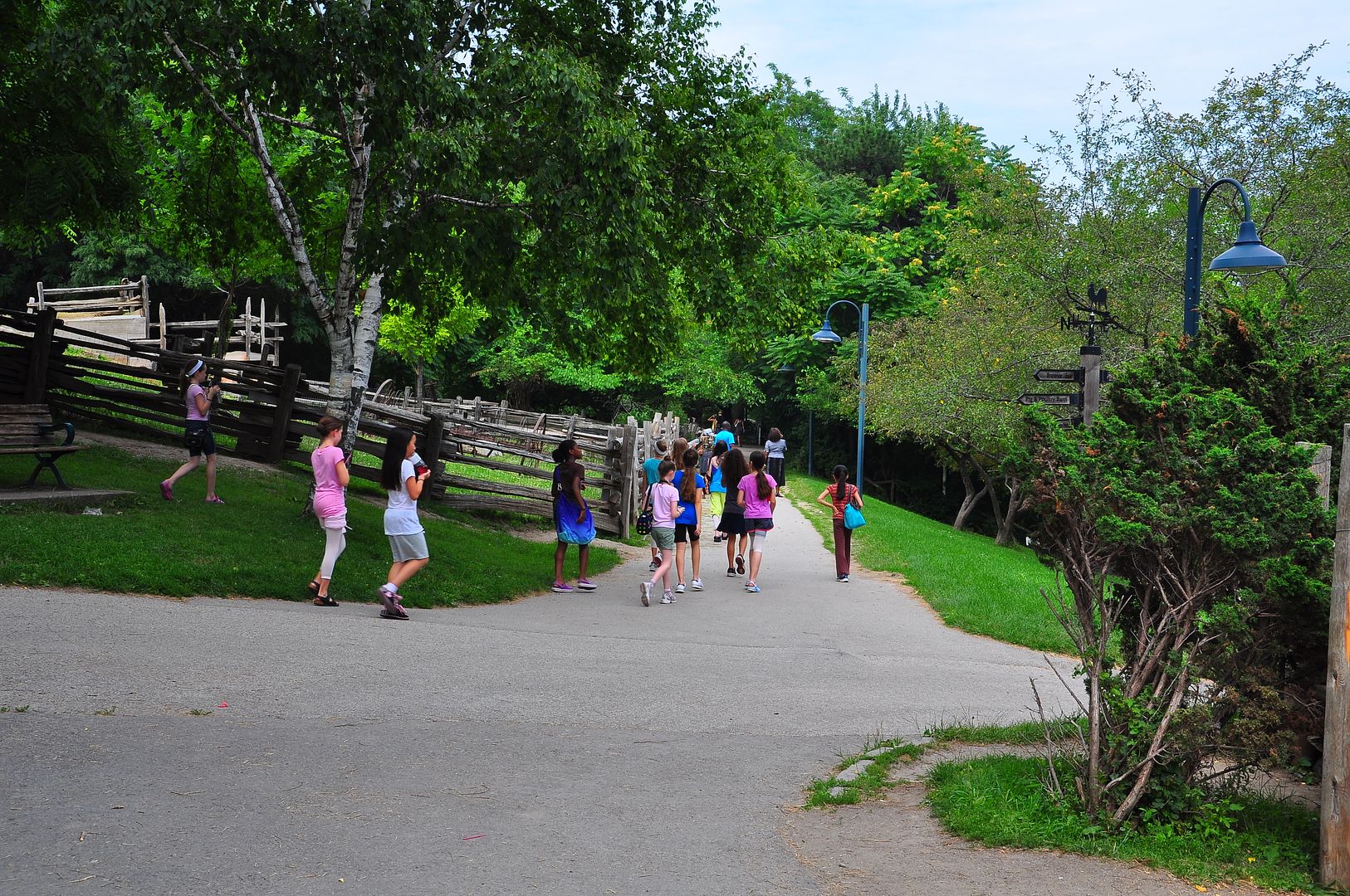
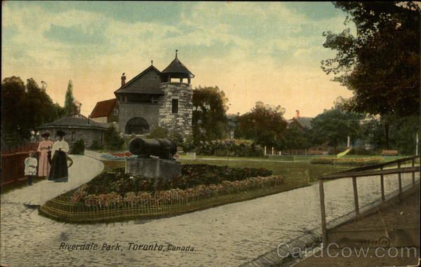
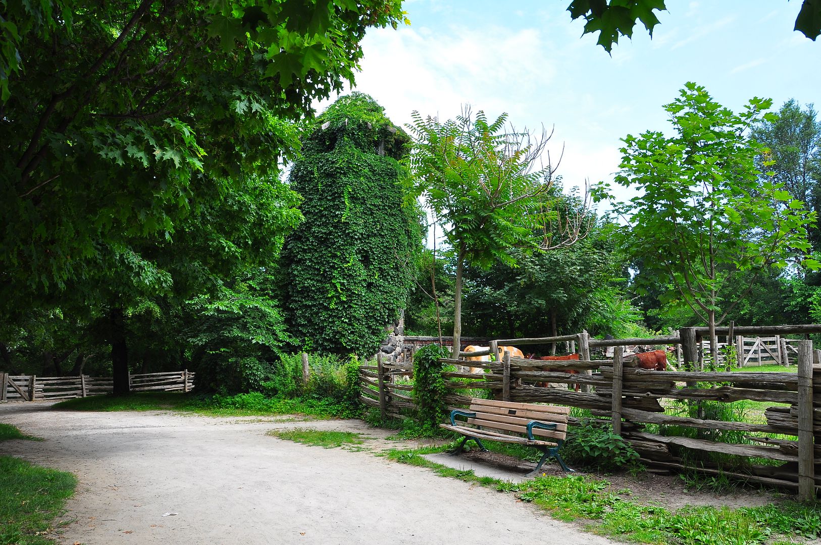
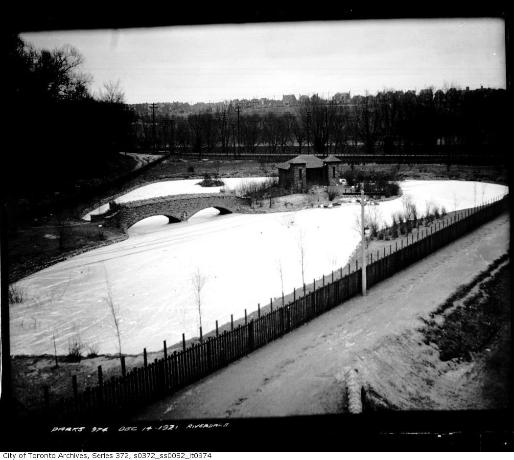
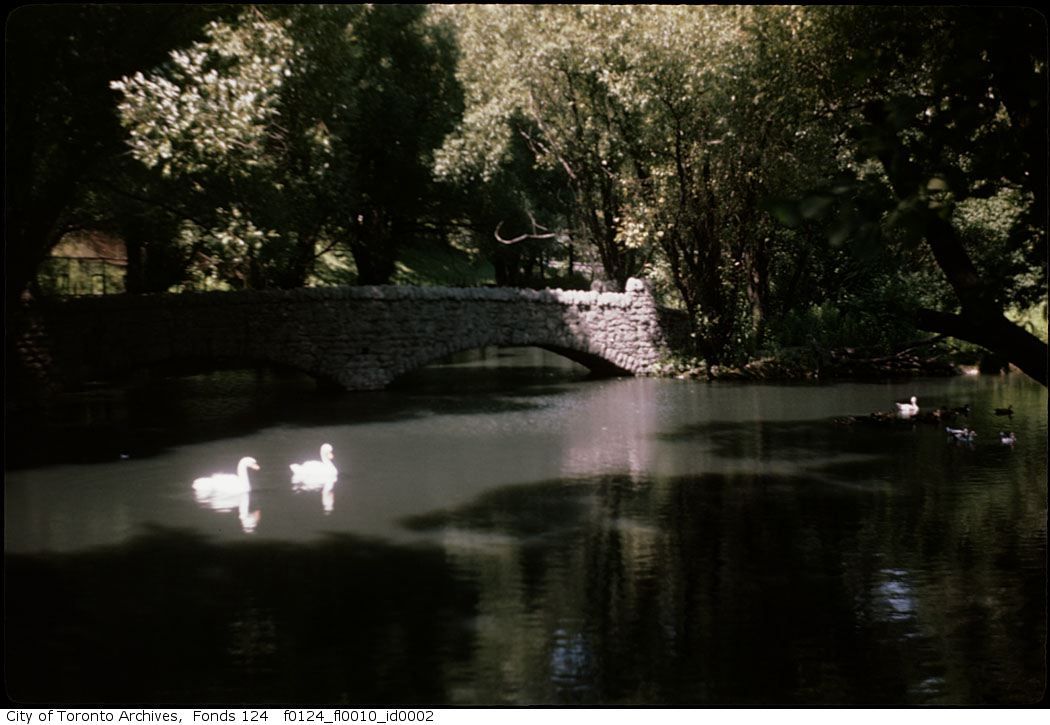
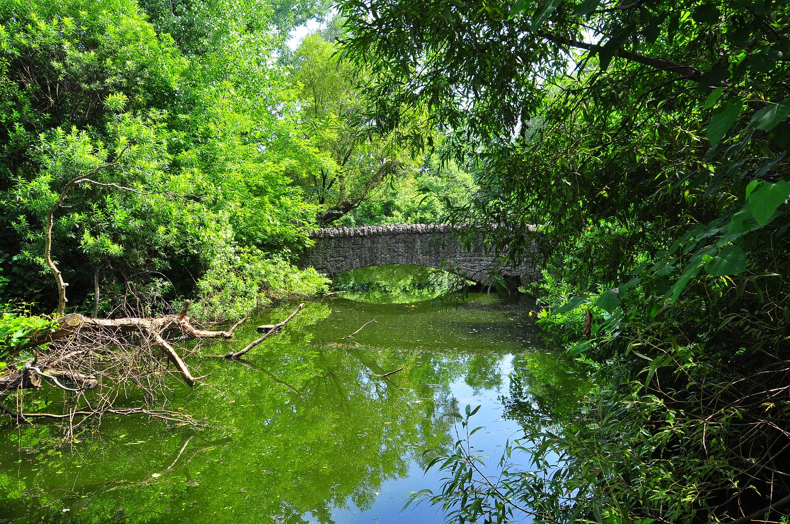
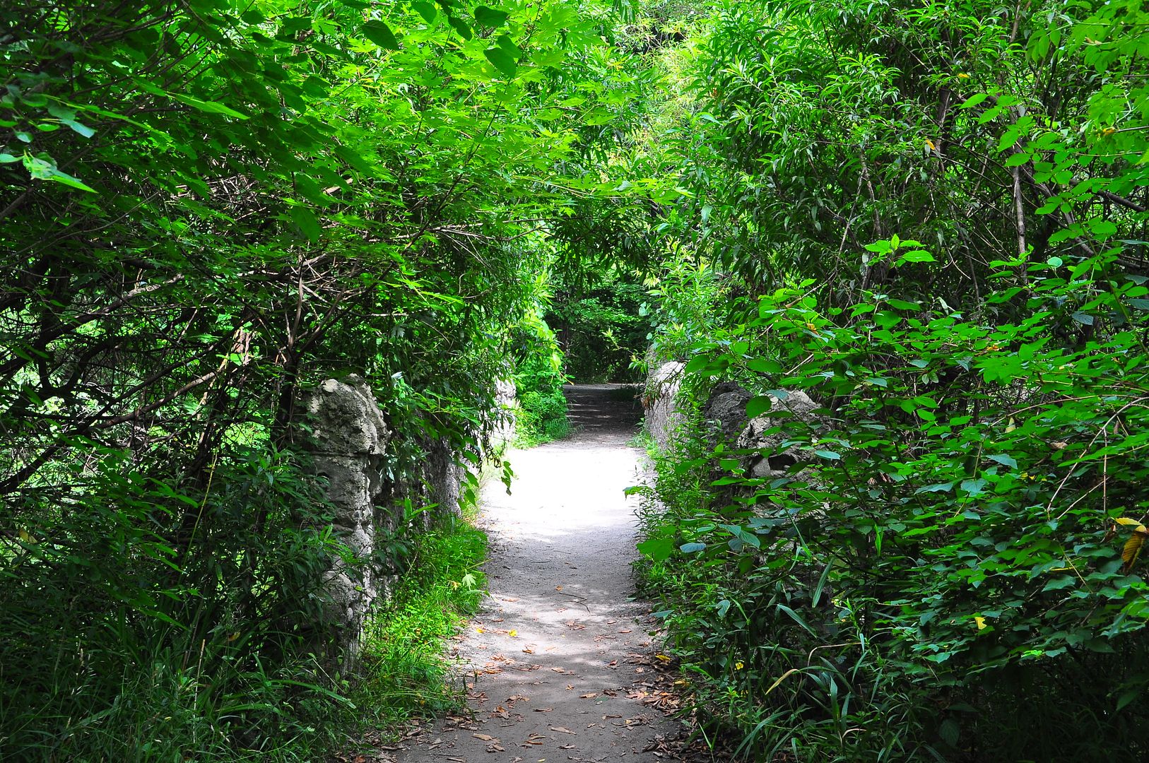
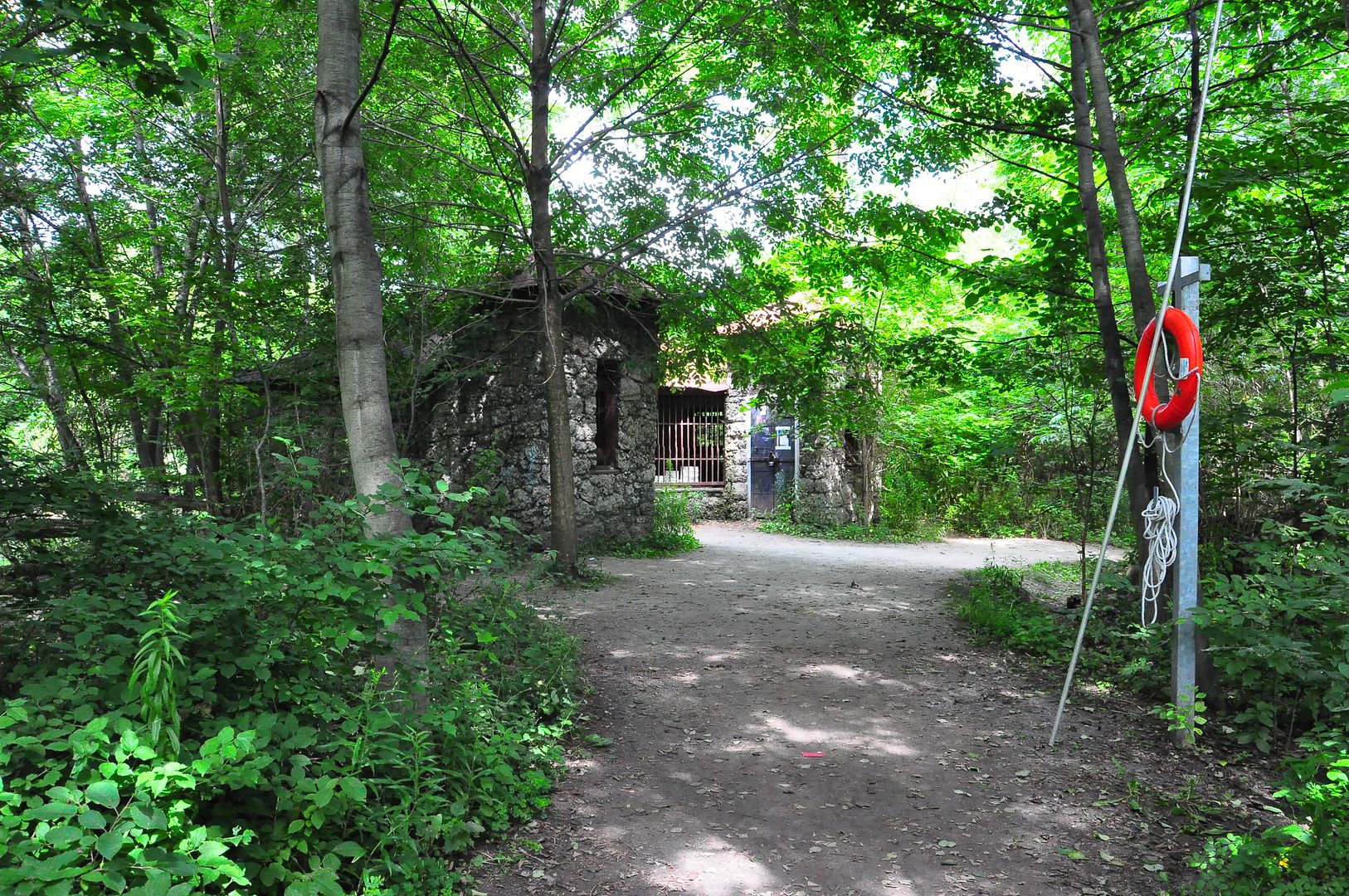
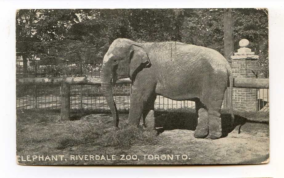
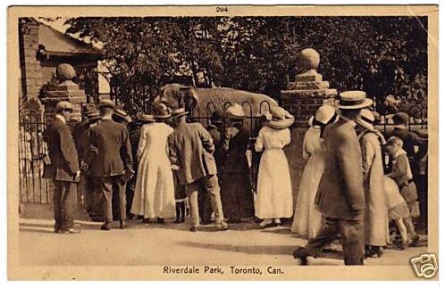
October 20 addition.
I visited only once, as an 8 year old in the early 60s; I'm not sure why my parents never took me again...
A charming video of our Zoo in 1937. There are some Toronto street scenes in this as well; they have me stumped location wise. Well worth a viewing - since you're reading this already, right?
The road on the left I believe to be Winchester street. We are looking east. Winchester street at the time skirted the south side of the Necropolis [this section of road still exists but is private Riverdale Farm access], descended into and across the Don Valley [now obliterated by the Bayview extension and the Don Valley Parkway], crossed north east and up out of the Valley using the same alignment as the present day DVP access road leading from the Bloor eastbound lanes [past the Pizza Pizza]. It's hard to believe now but our great great grandparents would have taken this route to get out of downtown Toronto to get to the Danforth and points east.

Today I have been building up a sketch map of the section of Toronto from Ashbridge's Bay north to Bloor Street as it was in 1861. So far, emphasis has been on the western-most part of the map and the various bridges across the Don. It's good to see a three-dimensional view!
