Mustapha
Senior Member
Here's a view of the area from 1936. Cherry Street proceeds south from Eastern in the upper right of the image:
https://gencat4.eloquent-systems.co...source//ser372/ss0033/s0372_ss0033_it0092.jpg
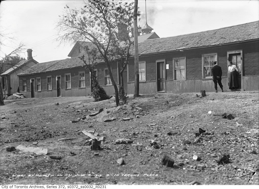
Virgin Place...
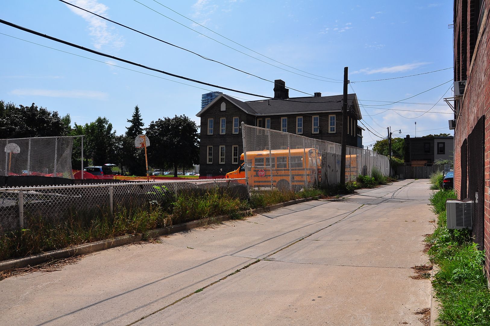
There are a couple Toronto Archive pics of this laneway street. This aerial view confirms the location of the photographer in those views. One of them shows Inglenook school poking above the rooftops. I'll have to go down and take a picture. Unless someone else beats me to it.
Thanks wwwebster!


