


Mustapha
Senior Member
What a fantastic thread. I love it. i wish every city had it... Thank you to all for sharing.
Cheers.
Heya SamTHorn, welcome.
|
|
|
What a fantastic thread. I love it. i wish every city had it... Thank you to all for sharing.
Cheers.
thecharioteer,quite the prolific last few days from you, even moreso than the usual.
Those "showgirls"; interesting that the era is obviously the 30s. I wonder what building they performed in?
August 28 addition.
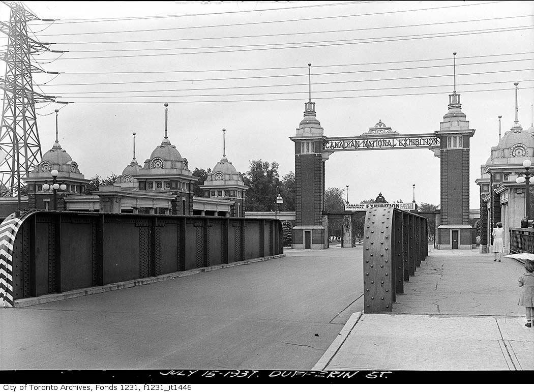
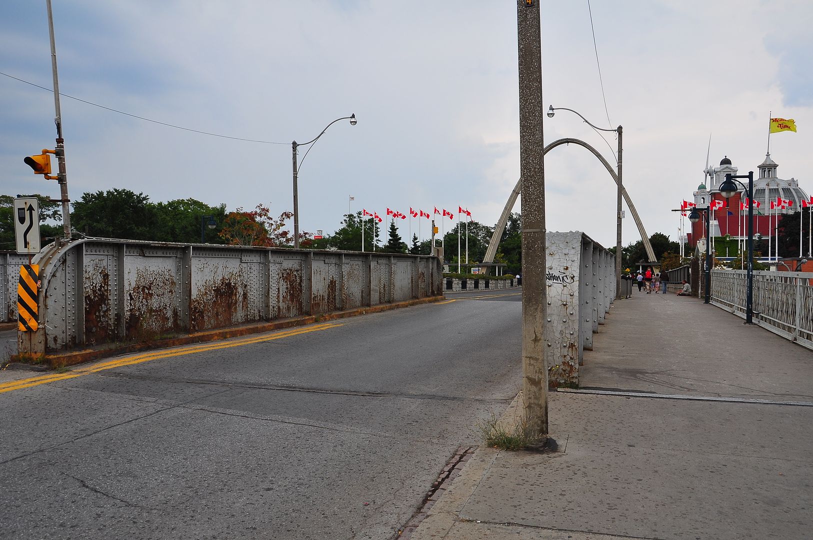
Then July, 13, 1937.
Now. August 2010.
Mustapha: Is that the Dufferin Gate at the entrance to the CNE grounds and the bridge over the Lakeshore rail line below?
I have not looked or posted in the City Photos section recently...I know I have missed plenty here! LI MIKE
CTV news had a spot about the online archives as well.
August 30 addition.
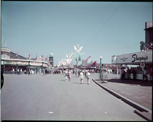
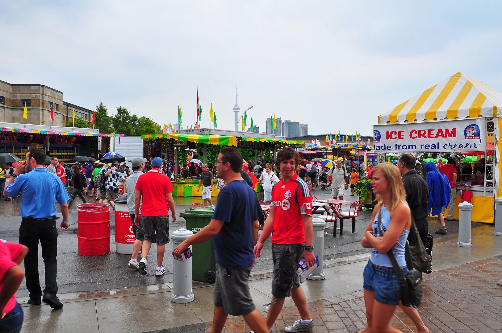
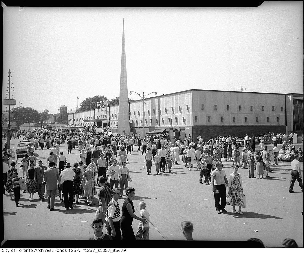
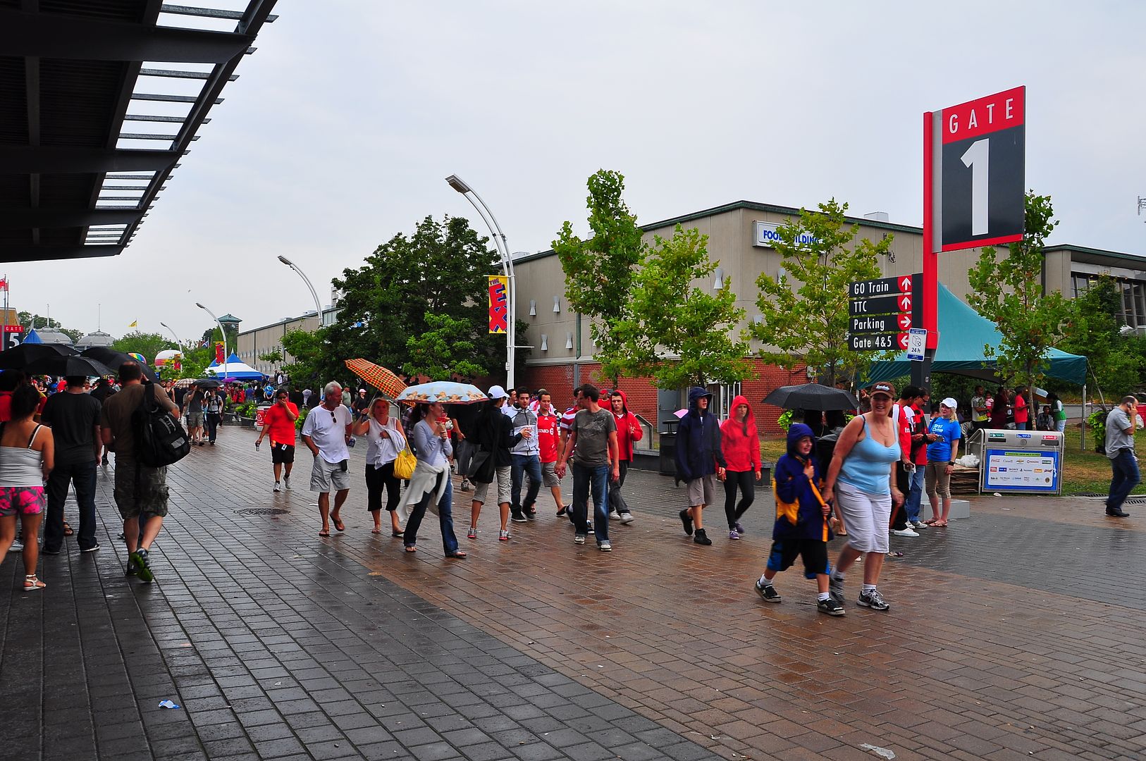
Another CNE Then and Now. We are looking NW at the Food Building.
Now. August 24 2010.
I miss the waterfalls over the two southern entrances on the sides of the Food Building.

As do I. I was reminiscing about just that on Saturday as I went into the Food Building after the TFC v Real Salt Lake match.
August 31 addition.
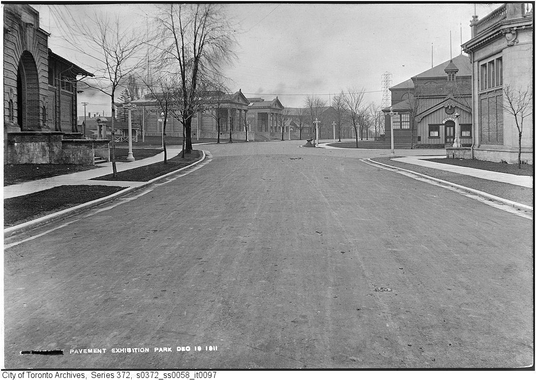
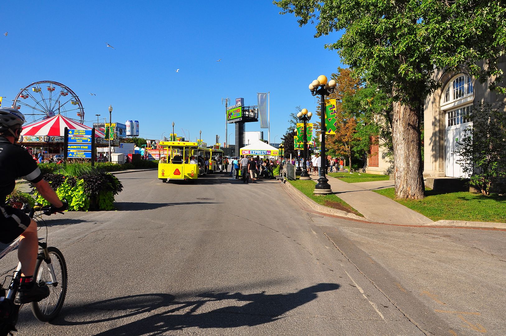
Then. December 19, 1911.
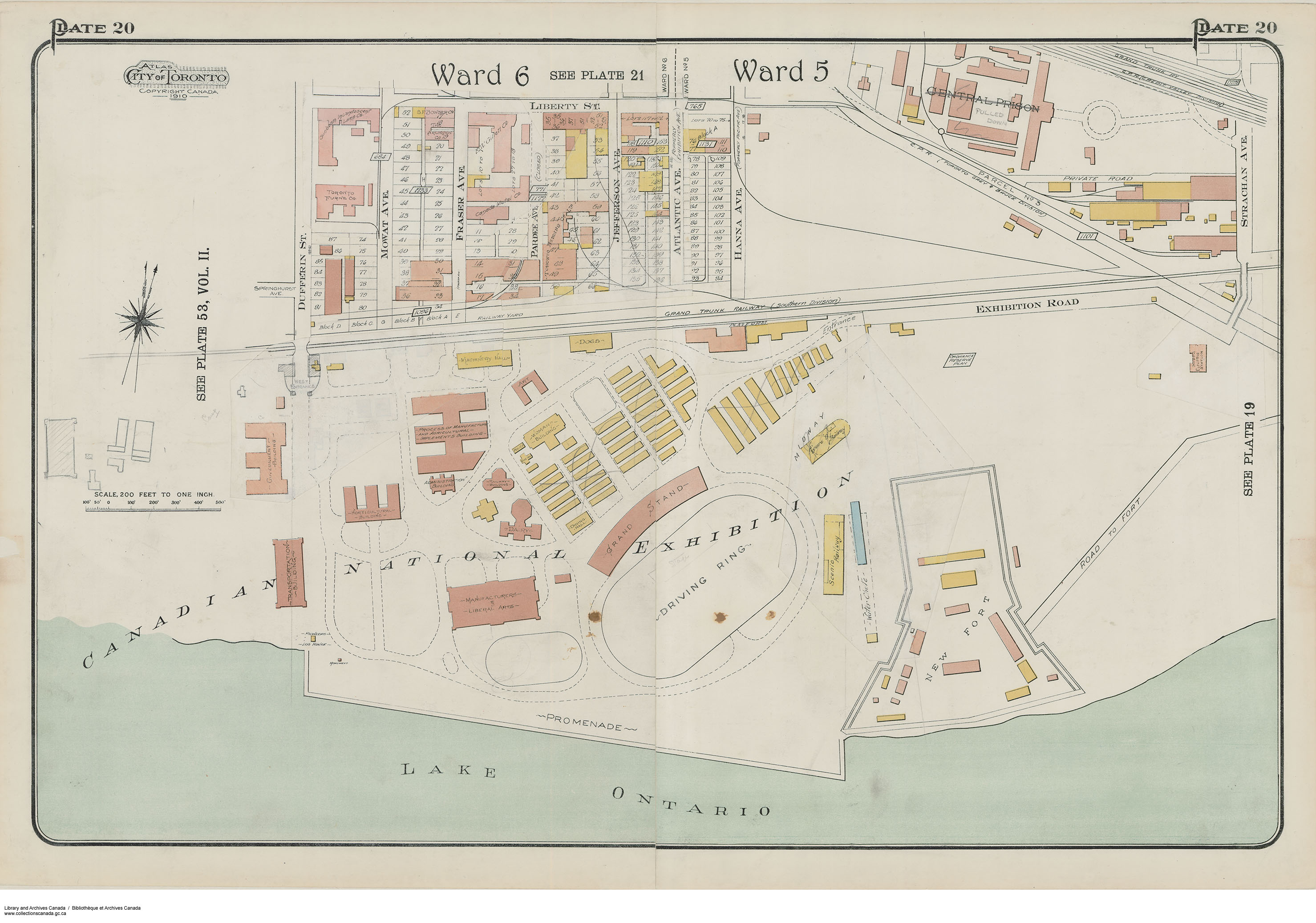
This set of views... I am not certain that my modern view is correct. On the right of of the 1911 Then picture is the Music Building and beyond it, a police station. Various sources on the web say that the present fire station was built in 1912. Was the police station the site of the current fire station? I am assuming so for no particular good reason. Perhaps someone can find a map of 1911 CNE?
Perhaps someone can find a map of 1911 CNE?
")