News   May 09, 2024
 688     0 
News   May 09, 2024
 501     0 
News   May 09, 2024
 853     1 

Miscellany Toronto Photographs: Then and Now

Aaron;326517 ... You have some special powers. What am I thinking right now? [/QUOTE said:
Aaron, as long as they are not romantic feelings, I am ok with whatever you think.;)


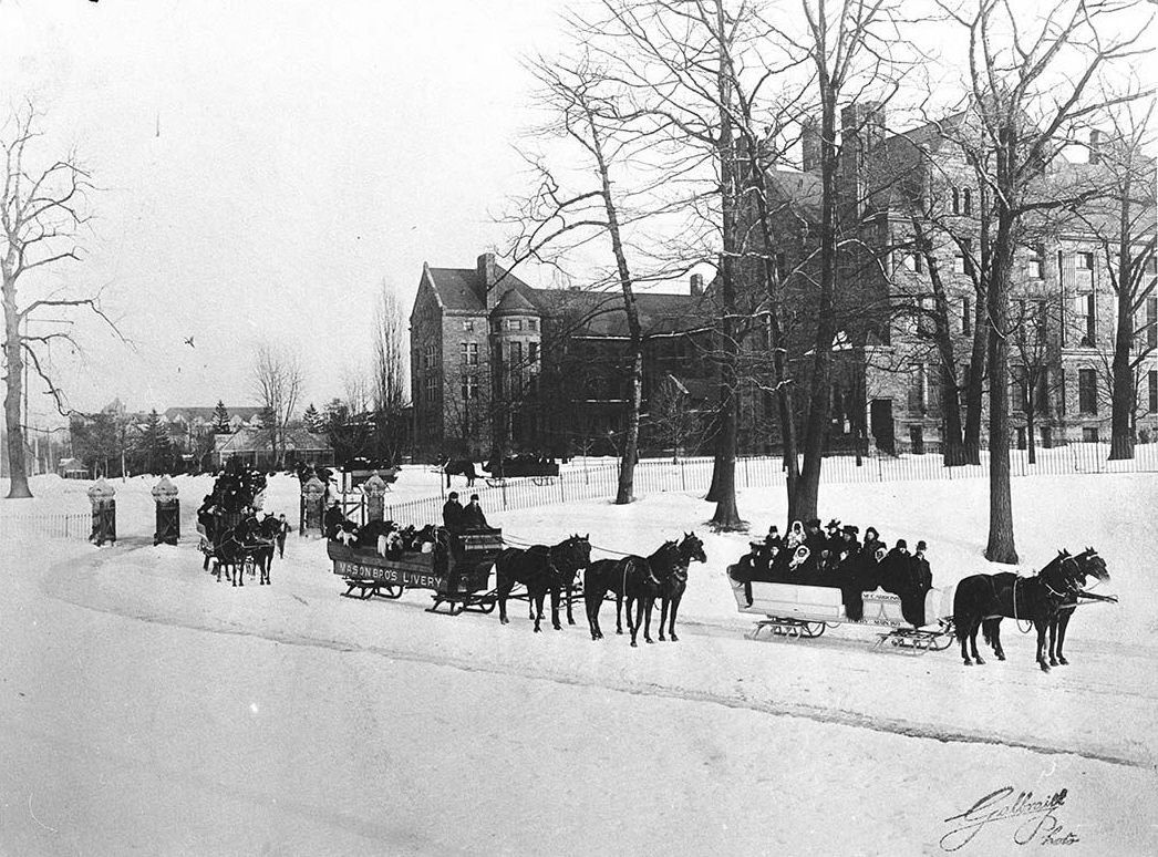
October 17 addition.


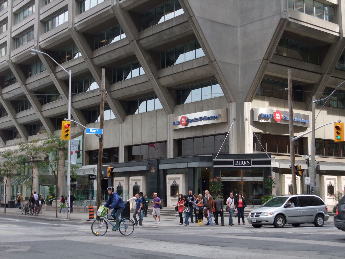
Then: Bloor and Bay SE corner. C1965 or 66, judging from that Chevy Impala in the picture. That rear light design only lasted for one year. Where's LIMike?
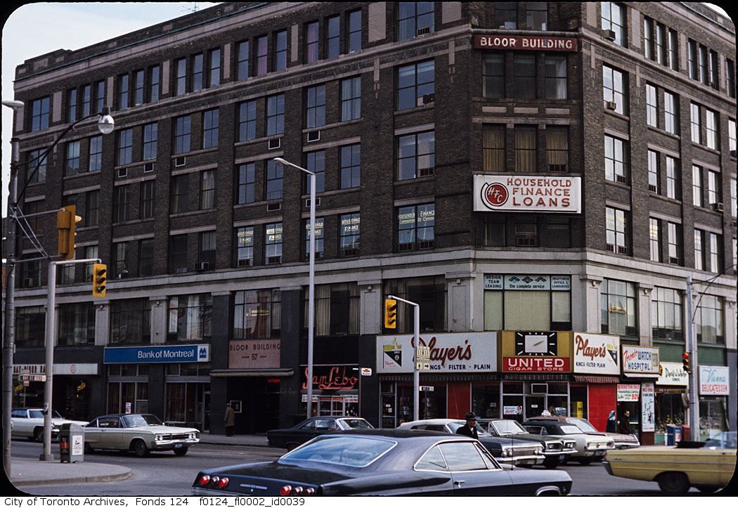

fo0124_f0124_fl0002_id0039.jpg


Now: October 2009.


DSCF1209.jpg
 
For a city planned around a grid its interesting how many odd street placements there are. For example why does the current Dundas East curve between Jarvis and Sherbourne?

That bit of Dundas started out as Wilton Crescent, which was laid out when the former Moss Park estate was subdivided (Dundas east of Yonge was originallly known as Crookshank St., then later Wilton Street). From Lost River Walks - Moss Park, quoting Liz Lundell's Estates of Old Toronto:
In 1854, sixty-nine lots were laid out from present day Dundas up to Gerrard for suburban villas. Two curved streets: Wilton and Wellesley Crescents, which were rare for the time, were opened. Pembroke was developed as a tree-lined avenue and was considered one of the city's finest residential streets in its day.

The Lost River Walks site is a good one and also explains why other streets such as Niagara (Garrison Creek) and Britain (Taddle Creek) aren't straight.

A wintry night on Wilton Ave:
f1568_it0330.jpg
 
fo0124_f0124_fl0002_id0039.jpg


Awesome photo. I have no doubt that this was/is seen as a wholly unremarkable building, but we're simply less of a city for no longer having it.
 
Yes, Blovertis, good old Hans Kleefeld. It looks more contemporary than that Beemo thing that replaced it, and it used to work so nicely with the notched corners of FCP tower it adorned.
 
Bloor and Bay Street - October 17 picture...

Mustapha: You wondered where I was and I had to answer this inquiry...
I believe this pic is either 1969 or 1971 judging by these things I noticed in it:

The white on blue license plates were issued by Ontario during those years;
That Chevy in front center is definitely a 1965-those taillights dated those cars then. Also noted is a 1964 Chevy Impala(?) convertible and a 1969(?)
Ford Mustang convertible.

I also noticed the ONT 11 Route signs posted (Yonge Street-at one point one of the longest road routes in the world at over 1000 miles),the lightbox street sign and the "Ricky Receptacle" on the corner.

I am leaning towards 1971 because of the modern appearance of that Bank of Montreal sign though - I remember them and the "M" logo well.
When did they start using the BMO moniker and when was the logo changed atop First Canadian Place?

I will say again that it would be so much easier if those Archive pics were dated but taking an educated guess is a game of sorts...LI MIKE
 
The BMO thing came in in the late 90s. The Bank of Montreal in my area had the typical M logo and clock until about then. I remember when 680 News was sponsored by B-M-O Nesbitt Burns, shortly before the 'Beemo' name came into use. In all honesty, I prefer BMO. 'Beemo' gets on my nerves.
 
The BMO thing came in in the late 90s.


...which was preceded briefly by the infamous "mbanx" interlude. In the end, they decided that the ticker-symbol acronym worked better.

Awesome photo. I have no doubt that this was/is seen as a wholly unremarkable building, but we're simply less of a city for no longer having it.

Definitely more "was" than "is"--and excellent Lister-Building-similarity observation. Maybe in NYC it'd be deemed unremarkable--but not in Toronto.

(I wonder what might have been happening out of camera range to the right; any demolition/excavation for the first phase of Manulife, apartment tower and all?)
 
For a city planned around a grid its interesting how many odd street placements there are. For example why does the current Dundas East curve between Jarvis and Sherbourne?

Anna is correct in her response.

There are two other aspects to consider when looking at the two crescents on Wellesley and Dundas:

Firstly, as the original Park Lot estates got subdivided throughout the 19th Century, more often than not, east-west streets did not line up with one another and jogs had to be implemented to create continuos routes (i.e. Dundas, College Streets)

Secondly, crescents, circles and the like were an integral part of the era's vision of aristocratic town-planning, remiscent of John Nash in London and Bath. Wellesley Crescent belongs to this tradition, particularly in the way it once served as a kind of framing device to the axial view of the Homewood mansion that once stood north of Wellesley.
 
That is magical! :)

db

I agree. Winter in Toronto wouldn't be so bad if it always felt like this. Unfortunately the next morning, it's more like these:

Queen and Bay, 1924:
Snow_on_Bay_Street_1924-1.jpg


Lakeshore Blved., 1925:
Lakeshore_Boulevard_Winter_1925.jpg


Shuter, east of Jarvis (Walnut Hall at left), 1929:
JarvisShuter1929.jpg


But then again, winter isn't always so bad.

You can go sleighing in Queens Park (1906):

Sleighing_party_at_Queens_Park1906.jpg


Invite some friends for a game of shinny (1910):

Women_playing_hockey_outside_Var-1.jpg


Go snowshoeing (1907)

Couple_Snowshoeing1907.jpg


Or go toboganning in Withrow Park (1914):

WithrowPark1914Toboggan.jpg
 
Last edited:

Back
Top