


Edward
Senior Member
and a neighbourhood without (at that point) a lot of political clout.
So Rosedale wasn't always a rich neighbourhood?
|
|
|
and a neighbourhood without (at that point) a lot of political clout.
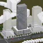
Playing with Photoshop is always fun.
I did a little work on A STORK.
I like your suggestioh, mustapha: "If any of us here have exterior 'then' photos of our homes or neighbourhoods why not post them here?"
Here's my birthplace at 147 Donlands Ave., then in East York.
When my parents arrived (c.1930?) there was no house next door.
My earliest recolection of the area is the Donlands Dairy a short distance north - between Mortimer and Cosburn - we walked there for the ice cream.
North and east of the dairy was mainly farmland!
")
J T CUNNINGHAM said:C' mon Gang! Rather than just posting a pic, what about a little digging in the Might's Toronto Directories for some background.
The house stood until around 1918, when it had to make way for the Bloor Viaduct:
http://gencat4.eloquent-systems.com...esource/ser372/ss0010/s0372_ss0010_it0180.jpg
So Rosedale wasn't always a rich neighbourhood?
That's a great little map. I wonder if there are any traces of the old path at the north end of Parliament, the one that snaked down to Rosedale Valley Rd and back up.
chriskayTO said:I wonder if there are any traces of the old path at the north end of Parliament, the one that snaked down to Rosedale Valley Rd and back up.
So Rosedale wasn't always a rich neighbourhood?
October 14 addition.
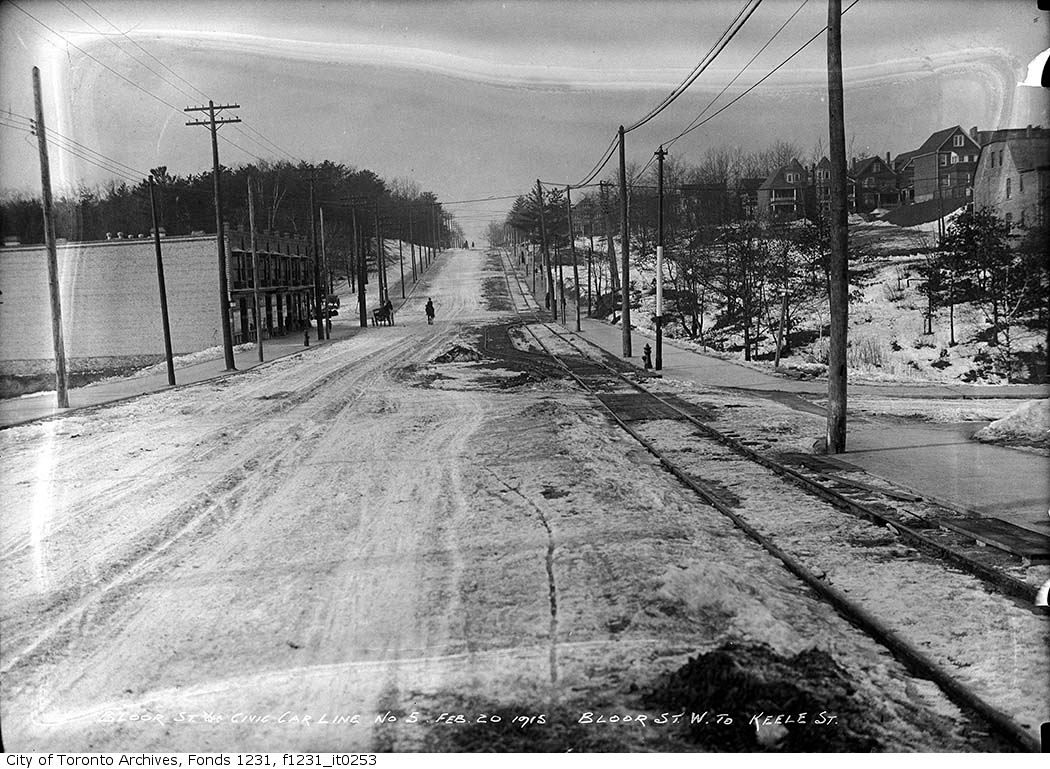
Then: Feb 20 1915. Bloor looking west. Keele in the distance.
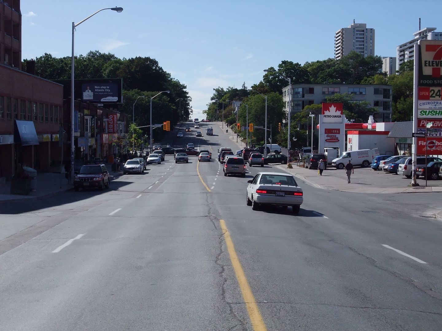
Now: September 2009.


I like your suggestioh, mustapha: "If any of us here have exterior 'then' photos of our homes or neighbourhoods why not post them here?"
Here's my birthplace at 147 Donlands Ave., then in East York.
When my parents arrived (c.1930?) there was no house next door.
My earliest recolection of the area is the Donlands Dairy a short distance north - between Mortimer and Cosburn - we walked there for the ice cream.
North and east of the dairy was mainly farmland!
Goldie said:Here's some more.
Great then and now, Goldie. Some of the north-south streets in that part of the world (Pape comes to mind) were widened at some point in the mid-20th century, so the front lawns shown in the early shots have shrunk dramatically in the contemporary photos. Interestingly, that doesn't appear to be the case with your parents' home on Donlands.


