News   Jul 12, 2024
 875     0 
News   Jul 12, 2024
 784     0 
News   Jul 12, 2024
 328     0 

Head of Slips (Waterfront Toronto, West 8/DTAH)

DSC00041.jpg
 
I just love how this design can just pop up in a matter of months and completely transform the area around it. West8/DTAH was definitely the way to go.
icon14.gif
 
Yes, but the Spadina one sat empty for a while until it was open to the public. Should we expect the same thing for these ones? Time will tell!

I think they learn from their mistakes for Spadina and that one or both will be ready sooner than later.

One hopes they will not loose a beam in the lake again as well measuring twice and cut once.
 
Queens Quay future looks brighter than ever

Dec 18, 2008 04:30 AM
Christopher Hume

No one could accuse Chris Glaisek of lacking ambition. If he gets his way, it's only a matter of time before Queens Quay becomes the most beautiful street in Toronto, and more than that, one of the most beautiful streets in the world.

"I'm really excited," says Glaisek, vice-president of development at Waterfront Toronto, the agency overseeing the revitalization of 800 hectares on the shores of Lake Ontario.

"Queens Quay will become as famous as Las Ramblas in Barcelona; people will come from all over the world to see it."

Glaisek is not a man given to hyperbole, and after having spent years going mano a mano with traffic engineers, safety enforcers, architects, public works officials and politicians, the mere fact he continues to dream – and dream so big – should be reassuring.

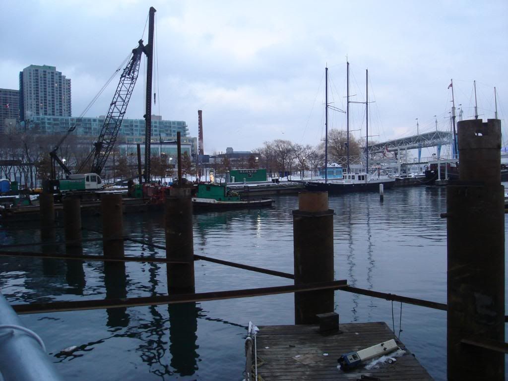
Despite public perception that nothing ever happens on the waterfront, the fact is that a lot is going on. Just this week, the board of Waterfront Toronto approved a bold $181 million scheme to remake Queens Quay from Jarvis St. east to Parliament St.

The plan, designed by Adriaan Geuze of West 8, one of the most sought-after landscape architects in the world, calls for a complete remake of the precinct. By extension, it also proposes a whole new approach to urban infrastructure in Toronto.

The key is integration. That sounds simple, and in many ways it is. The problem has traditionally been a public works mentality that sees infrastructure as little more than a series of engineering problems.

In the 21st century, however, that no longer suffices; the idea now is to introduce other disciplines into the design process to create a different kind of infrastructure that serves its purpose as it provides pleasure.

"We've worked hard with the city," says Glaisek. "Things have evolved nicely."

Indeed, he has managed to get the city to approve Toronto's first woonerf. In case you've forgotten, that's one of those roads where vehicular and pedestrian traffic share space equally. The concept was pioneered in Holland, where, despite the lack of street signs, it works brilliantly.

So far, the city has only approved woonerfs for the residential neighbourhood to be built in the West Don Lands. The woonerfs Glaisek wants in the East Bayfront must wait for the time being.

But the critical thing is that change has come to the civic bureaucracy.

"I really do think the city is changing and becoming sensitized to urban design," says Glaisek.

When complete, sometime in 2010, Queens Quay will be a two-lane road (down from four) with a grass-covered right-of-way for streetcars. New granite paving will be installed on an expansive tree-lined boulevard that extends along the south side of the street.

An 18-metre-wide water's edge promenade, made of wood and granite, will hug the shoreline. Extra space on the far side should allow for outdoor cafés and the like.

Just beneath the pathway, an innovative stormwater treatment system will collect and clean rain before it is pumped back into the lake. According to Glaisek, the system costs $50 million to $100 million less than conventional methods and does a better job.

Ironically, the result is that Waterfront Toronto finds itself in an enviable situation where its focus on infrastructure has acquired sudden urgency.

If it's true that public infrastructure spending is the most effective way out of a looming depression, Glaisek and his colleagues are setting an excellent example way out in front of the curve.

The significance of Waterfront Toronto's efforts lies in a realization that the infrastructure is the city and the city is its infrastructure. To build one is to build the other.
 
Thanks for the article. I can't wait for that to happen. Although 2010 may be a bit optimistic I think.
 
Can someone explain to me what exactly people mean when they go on about the "wall" of condos severing them from the waterfront? I don't understand what this means. As far as I know, no condos have blocked street access to the waterfront. As someone who actually makes a point of traveling to the waterfront from elsewhere in Toronto, my experience has been the development has done a decent (not good) job of facilitating travel to the waterfront. I have specific criticisms of how cheap a lot of the condos look, but I have never felt "severed" by them. Maybe if I was at somewhere along Front street, I wouldn't be able to see the lake, but looking at something from a few hundred meters away is hardly interacting. I think many people simply mean the Gardiner is being surrounded by condos, and ruining the view of the lake from there.
 
Whoaccio, the issue of the "wall" of condos has come up here before, and in general, I don't think many on UrbanToronto fall for that. To my mind, it's always been a silly thing to say, though as you point out, it's quite possible to be critical of some of the details of some of the buildings. But if a wall of condos separates the city from the water, one could just as easily claim that a wall of condos separates Bay Street from Yonge Street; or a wall of houses separates Riverdale from the Don Valley; or that a wall of Toronto separates Pickering from Mississauga. Any of these comments is equally meaningless to me.
 
Can someone explain to me what exactly people mean when they go on about the "wall" of condos severing them from the waterfront? I don't understand what this means.

I think they are talking more about the long-held perception of the lake feeling 'cut off' from the city, whether behind condo slabs or railway tracks and industry. Chicago makes an obvious reference point for comparison where the lakeside feels so much more open to the city, visually at least.
 
Whoaccio, the issue of the "wall" of condos has come up here before, and in general, I don't think many on UrbanToronto fall for that. To my mind, it's always been a silly thing to say, though as you point out, it's quite possible to be critical of some of the details of some of the buildings. But if a wall of condos separates the city from the water, one could just as easily claim that a wall of condos separates Bay Street from Yonge Street; or a wall of houses separates Riverdale from the Don Valley; or that a wall of Toronto separates Pickering from Mississauga. Any of these comments is equally meaningless to me.

Exactly. Wall 'o Condos actually means = disappointing waterfront. There ain't no wall.

And just because C. Hume got a BJ, and WaterfronToronto slipped The Star a few bucks... I'm not buying the "invisible/infrastructure" progress.

I'll bet anyone (and I mean it) $50 that the infrastructure expenditures, do not even match bureaucratic (management) expenditures.

There's 60 salaries looking after this tremendous progress.... pretty sure we could get to the same place with 4 intelligent hires instead of 60.
 
http://www.waterfrontoronto.ca/dbdocs//4947ae7940697.pdf

I like the "South Transit" alternative, on the last few pages...

Option 5 will be use with traffic going west only. Totally support this plan. Even the residents now support this idea to the point they want the plan to go west of Bathurst as well fixing up Bathurst itself with this option.

There is no way this thing will be ready by 2010 since this plan will not be approved by MOE until the summer after council approves it.

Downside to this, there will most likely not streetcar service until 2012 and only after Union Station loop is rebuilt or TTC comes up with another plan. Otherwise, the road and ROW will be ready 2010.
 
Perception from 905'ers or those living in houses regarding condos always seems to be negative.

I guess I used to be in that boat, but living downtown, and watching dull neighbourhoods come alive with the addition of a condo, it excites me.

So, when they are talking about a "condo wall" I don't see how that cuts things off. If anything, it is adding to the area (even the ugly bland towers can add life).
 
Wall of condos

Can someone explain to me what exactly people mean when they go on about the "wall" of condos severing them from the waterfront? I don't understand what this means.

The original planning blunder on the waterfront was the stretch in the centre of the city from York to Yonge St. Harbourside condos and the Harbour Castle are a wall of cement if ever there was one. Take a walk along Queens Quay in that stretch and I think that will explain what the 'wall' means. Utterly bleak and lifeless - right dead centre in the city. The lake access in those blocks is obscure and underused for that reason. Even the ferry entrance is minimalized for some unknown reason (countless times I've had to point visitors to the ferry terminal as the lake at Bay and Queens Quay is not visible - there's actually a mound of earth placed to block the lake view! - and signage is pitiful). Solution: remove all retail and parking from the ground level of the condos and open it up to a clear lake view, even if only one-storey and supporting pillars of course remain.
 
Last edited by a moderator:

Back
Top