BurlOak
Senior Member
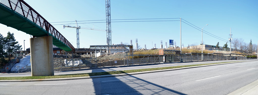
i live near milliken station, and im just curious, what exactly does grade separation mean? sorry for the amateur question.
Like a portion elevated over the road?
Grade separated means either the railway goes over the road, or the road goes over the railway - as long as the crossing of the cars and trains can happen without gates and flashing lights.