News   Jan 03, 2025
 674     1 
News   Jan 03, 2025
 823     0 
News   Jan 03, 2025
 1.3K     0 

Waterfront Transit Reset Phase 1 Study

How should Toronto connect the East and West arms of the planned waterfront transit with downtown?

  • Expand the existing Union loop

    Votes: 207 71.4%
  • Build a Western terminus

    Votes: 13 4.5%
  • Route service along Queen's Quay with pedestrian/cycle/bus connection to Union

    Votes: 31 10.7%
  • Connect using existing Queen's Quay/Union Loop and via King Street

    Votes: 22 7.6%
  • Other

    Votes: 17 5.9%

  • Total voters
    290
My concern is that having only one route to get Portlands cars in and out of service puts things on a shaky footing, especially when that route east of Spadina Loop is prone to disruption, and the Commissioners route to Leslie Barns’ back door was also long-fingered because of a pricey infrastructure change.
I completely agree that the link at Cherry ought to be built, my point was that if (and it's a huge if) anyone builds the (very expensive) portal below the rail berm at Cherry it would be very stupid to stop there as the track to link Distillery Loop to Cherry & QQE is cheap.
 
I completely agree that the link at Cherry ought to be built, my point was that if (and it's a huge if) anyone builds the (very expensive) portal below the rail berm at Cherry it would be very stupid to stop there as the track to link Distillery Loop to Cherry & QQE is cheap.
I read the issue as being that they didn’t want disruption to the roadway south of the portal, but maybe they see the projects above as disruptive in themselves
 
I read the issue as being that they didn’t want disruption to the roadway south of the portal, but maybe they see the projects above as disruptive in themselves
The problem is not rebuilding the existing underpass to accommodate everything with a wider one. This would still leave transit on the east side with wider sidewalks and bike lanes. One way or another, the Lake Shore will be disrupted when the tracks are built across it along with the New Cherry St. A T connection is/was to be built for the QQE line connection to the Cherry Line.

It would disrupt service in the rail corridor while the new underpass is being built. Back in 2008-10, the cost to do it was around $50 million that would also include a GO station.

Unless that new tunnel to the east is built as a push box which will have some disruptions to the rail corridor, any other type of construction will have major impact on the corridor.

One idea at the time for the extension to the south was leaving the loop there with the extension tracks connecting to it for the extension. This would allow for short turns or like it is for today's service.

As for getting the Portland cars into/out of service can be done when the Full Cherry St line is bult, by Spadina, Bathurst and Commissioner St along with the Broadview line. TTC prefers the Commissioner Line as it would allow cars to get to/from various lines faster than it is today for the Leslie Barns.
 
Are there any rough sketches/diagrams of how any of these proposed track alignments will cross the Cherry/Lakeshore Intersection? I can only imagine a big mess with both Cherry and QQE connections being made, with one maybe not so bad.
 
@reinventingthewheel
There are no plans that I know of for crossing the Lake Shore based on current plans, but will be an angle tee connection and not an easy one to build.


Feb 25
We will have to wait until 2032-2035+ to see something running on The New Cherry St as well ride it.

Not sure if this is an access to get to the southbound platform since there are one at each end of the bridge or a future crosswalks
53575336905_c8e00f1126_b.jpg

53575101223_3f5f08763f_b.jpg

53575217539_fbf2cf26ff_b.jpg

53574892736_cdf048ccc9_b.jpg

53575336545_7a1f5ba5f7_b.jpg
53575217269_58f524331f_b.jpg
 
Last edited:
Following our October 2023 update email and report to City Council in November 2023, the Waterfront East LRT (WELRT) project team received support from Council to advance design to 60% and to undertake steps to secure required environmental approvals.

As such, environmental approvals are being sought through the Transit and Rail Project Assessment Process (TRAP), previously Transit Project Assessment Process, as an update to the previously approved 2010 East Bayfront Transit Class Environmental Assessment, which has since expired. The portion of the network included within the project area spans slightly over 2 km, including an underground connection from Union Station to Queens Quay using existing streetcar tunnels underneath Bay Street, and dedicated surface streetcar right-of-way along Queens Quay East to the future Street A (immediately east of Parliament Street).

The project Notice of Commencement has been distributed to initiate the TRAP as of this morning, March 14, 2024. Please find the Notice of Commencement attached for more information and details on the TRAP. We also encourage you to review the materials on the City of Toronto website, now that they are available.

Please contact the project team if you have any feedback, comments or questions regarding the TRAP, assessment of potential impacts, and proposed mitigations.

Transportation Planning, Toronto & East York District
Toronto City Hall
21st Floor, East Tower
100 Queen Street West
Toronto ON
M5H 2N2

Email: waterfrontlrt@toronto.ca (Nigel Tahair, Program Manager, City Planning Division, City of Toronto)
Phone: 416-214-9990 (Patrick Meredith-Karam, Transportation Project Manager, Waterfront Toronto)
Website: www.toronto.ca/WaterfrontTransit

The WELRT remains one of the City’s top transit priorities. The team will continue to keep you informed as the project advances and we look forward to continued engagement.

Regards,
The Waterfront Transit Team
The City of Toronto, TTC, and Waterfront Toronto
This email and any accompanying attachments contain confidential information intended only for the individual or entity named above. Any dissemination or action taken in reliance on this email or attachments by anyone other than the intended recipient is strictly prohibited. If you believe you have received this message in error, please delete it and contact the sender by return email. Thank you.
 
@reinventingthewheel
There are no plans that I know of for crossing the Lake Shore based on current plans, but will be an angle tee connection and not an easy one to build.
Clearly the designers of the new Portlands bridges have not taken streetcars into consideration, so any move from Cherry St. across Lakeshore to the Portlands will need its own bridge. It just seems silly to let the Cherry St. bridge and the awkward bend of Lakeshore and the Gardiner dictate where public transit can go. Imagine you're living in a new condo development near Poslon and Cherry St. and you want to travel to the Distillery District. You decide to take the streetcar, but then see that it must go all the way to Leslie. Here's what we need, from https://www.toronto.ca/legdocs/mmis/2017/pg/bgrd/backgroundfile-107828.pdf

Portlands Final Report.jpg
 
Last edited:
Clearly the designers of the new Portlands bridges have not taken streetcars into consideration, so any move from Cherry St. across Lakeshore to the Portlands will need its own bridge. It just seems silly to let the Cherry St. bridge and the awkward bend of Lakeshore and the Gardiner dictate where public transit can go. Imagine you're living in a new condo development near Poslon and Cherry St. and you want to travel to the Distillery District. You decide to take the streetcar, but then see that it must go all the way to Leslie. Here's what we need, from https://www.toronto.ca/legdocs/mmis/2017/pg/bgrd/backgroundfile-107828.pdf

View attachment 553327
You seem a bit confused. The new Cherry Street bridge bridge across the Keating Channel has a huge transit section on its east side. This will bring streetcars from just north of the rail berm south to Commissioners Street and the latest plan has a (temporary) loop created on Commissioners a bit east of Cherry. The Commissioners Street bridge does not (yet) have a streetcar section but the bridge 'island' in the middle of the new Don has apparently been built so that it can support the centre pier of the future Commissioners Street transit bridge - immediately north of current bridge. Probably long after we are all dead, this bridge will be built and that will allow the streetcar connection to Leslie Street (and the Barns). In theory the tracks on Broadview south of Queen could be built to Commissioners and then east to Leslie sooner but I doubt our successors will be any more keen to built transit infrastructure! If a person living at Polson & Cherry wanted to go to the Distillery, they would presumably walk up Cherry to Commissioners and take a northbound streetcar going up Cherry to Distillery or a west bound one going to Union/Exhibition along Queen's Quay and then walk up Parliament from Queens Quay.
 
Clearly the designers of the new Portlands bridges have not taken streetcars into consideration, so any move from Cherry St. across Lakeshore to the Portlands will need its own bridge. It just seems silly to let the Cherry St. bridge and the awkward bend of Lakeshore and the Gardiner dictate where public transit can go. Imagine you're living in a new condo development near Poslon and Cherry St. and you want to travel to the Distillery District. You decide to take the streetcar, but then see that it must go all the way to Leslie. Here's what we need, from https://www.toronto.ca/legdocs/mmis/2017/pg/bgrd/backgroundfile-107828.pdf

View attachment 553327
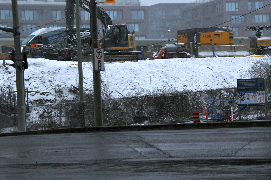
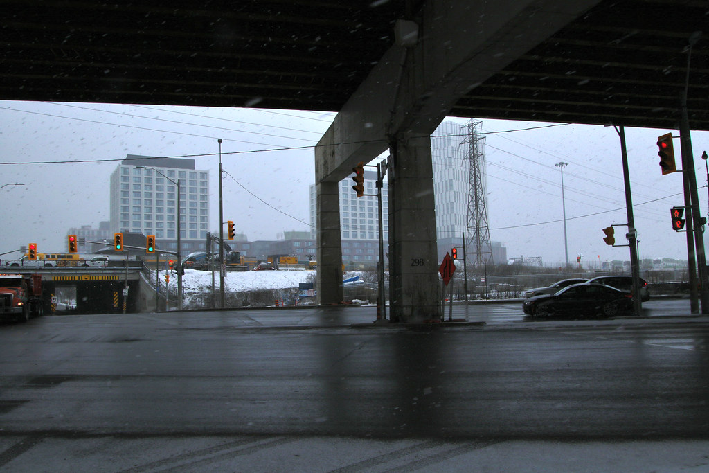
This is where the Portland tracks will crossover the Lake Shore to go under the RR corridor that will be near the north pier support of the Gardiner
March 22
53621012138_be9ebfee85_b.jpg

53619930442_f656b1b143_b.jpg

53621138054_a8f7c1a236_b.jpg


As for going east on Commissioner, there wasn't enough money to build the bridge at the same time as the new Road bridge with provision for it to be built at some Future date. The island will support the centre pier with piers on either side of the river.
53564550542_0c02586b91_b.jpg
Why was the road bridge prioritized over the transit bridge?
 

Back
Top