


Dan416
Senior Member
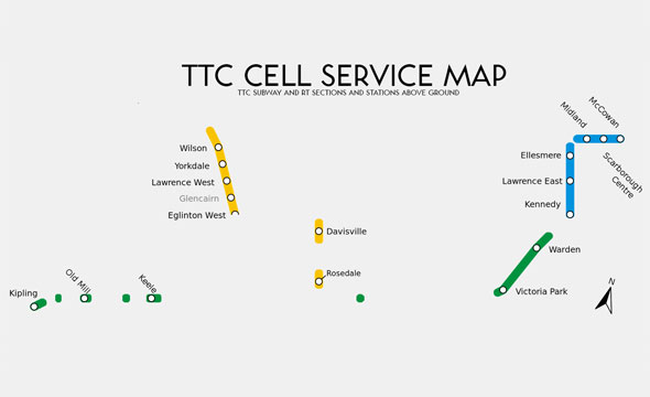
Why indicate which portions of LRT are above ground if same is not done for subways?
If being underground is all that's needed to be a subway, then does that meen the RT and the above ground subways should not be drawn as subway?
Subway is not about underground, nor is it grade separation. It's about fare-paid zones. It's a totally different fare system from the rest of the rail network.
Tp a rider, the above ground and below ground portion of a subway function the same. Likewise, the above and below ground portions of an LRT is also the same.
There is a discernible difference between a "stop" and a "station" though. Underground/overground no one cares