Toronto Sherbourne Common, Canada's Sugar Beach, and the Water's Edge Promenade | ?m | ?s | Waterfront Toronto | Teeple Architects

The northernmost pylon is up - image from the WT webcam:
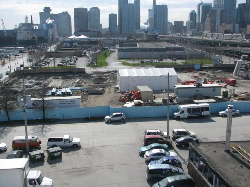
SherbourneParkNorth.jpg


AoD
 
Last edited:
I'd guess that's the finished product, just dirty currently ...

I say this because of the etches along the side that looks similar to the design given.

Why though? It looks good!
 
Is that finished or is it going to be clad?

From the April newsletter from Waterfront Toronto (available here)

Using large fiberglass molds, crews have constructed three structural steel cages made of an epoxy-covered rebar and have filled them with agilia concrete– a highly fluid, yet durable concrete known for its high quality finish.​

So, seems like the agilia concrete is the finished surface.
 
Sherbourne to Sugar survey

I parked at FedEx on Lower Sherbourne to wander around for a few minutes Saturday. A few observations:

1. The construction here is crazy busy. Even on a Saturday, there were crews grading the access on the east side of Corus Quay, doing someting in the Geo. Brown Health concrete forms, some dudes with Johnston Controls hard hats inspecting something, and tons of equipment in motion on the south of QQ part of Sherbourne Park.

2. It's interesting to me how far south of QQ the park, etc. goes here compared to HtO and the music garden, etc. Sherbourne Park is fairly small north of QQ, but stretches a long way on the south side. The boardwalk and parks here are going to really be protected from the traffic on QQ.

3. Corus Quay and Sugar Beach look made for each other. CQ has really been 'faced' SW (the stage doors, the penthouse, etc.) with the east side being cargo docks, and that meshes perfectly with SB. They've put in a bunch of the trees on SB (they're a little small right now, of course) and the park will really be a great venue if/when concerts happen.

All in all, this is going to be a really, really solid addition to the Waterfront.
 
Is that a pattern or a graphic on the middle section of glass on the south elevation (right above the red boom)? It looks like a lightning bolt
 
So when's the Guvernment being torn down?

Also - that pit being dug for George Brown so close to the water looks treacherous...
 
I took some photos as I walked past there today. Here's one of Sherbourne Park, paired with the original render. If you use a lot of imagination you can *almost* see where it's going. You can see the various waterfall posts and the bridge to the center right is taking shape. The area still feels like a wasteland right now but it is good to see things change and progress.
 

Attachments

  • sherbourne_park.jpg
    sherbourne_park.jpg
    65.3 KB · Views: 532
I took some photos as I walked past there today. Here's one of Sherbourne Park, paired with the original render. If you use a lot of imagination you can *almost* see where it's going. You can see the various waterfall posts and the bridge to the center right is taking shape. The area still feels like a wasteland right now but it is good to see things change and progress.

Thanks for that -- really helps to put things in perspective.

One quick comment: My 'Gardiner Expressway doesn't cut anything off' hobby horse -- dropping the Gardiner is going to do SFA to 'connect' Sherbourne -- it's the train tracks/tunnel that cut things off. The Gardiner is so high here, you look right under it and it's very easy to ignore.
 

Back
Top