Toronto RBC WaterPark Place III | 140.2m | 30s | Oxford Properties | WZMH

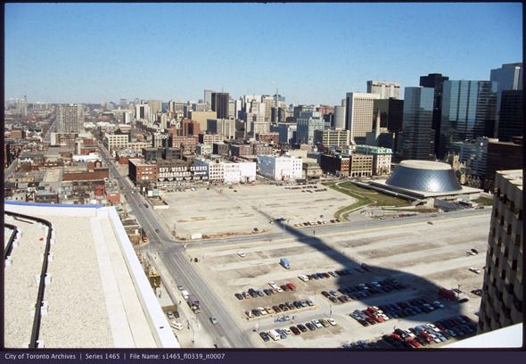
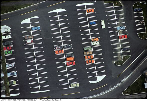
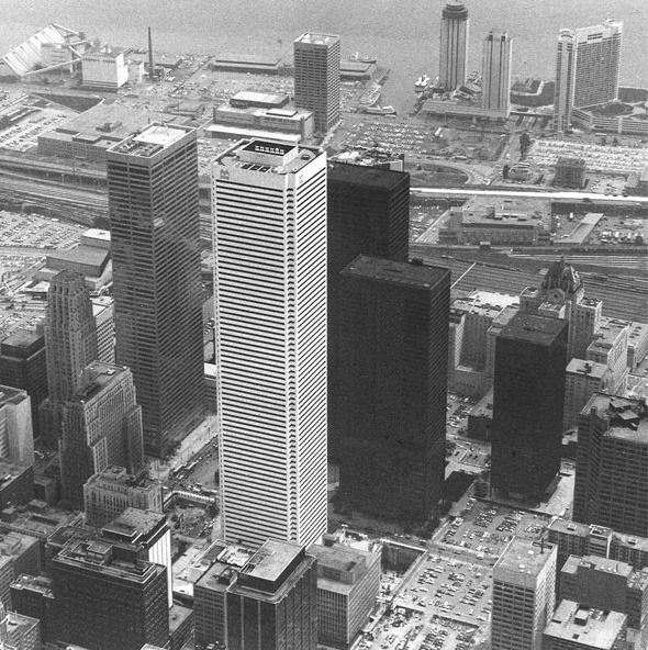
I use to park in that lot. :(

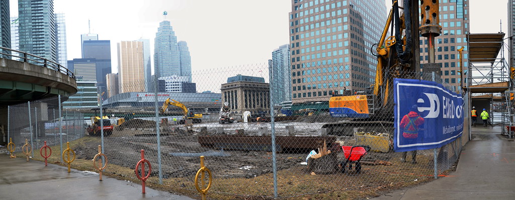
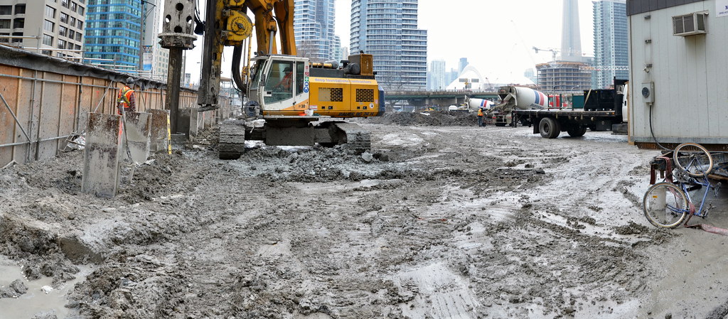
Toronto is losing all it's historic parking lots. Progress? I think not.

Somebody should put together a book with photos of all the great parking lots that have been tragically destroyed to make way for buildings. It could be called "Asphalt Toronto"

20111011-Toronto-parking-lots-history.jpg


2011727-PC-hc-waterfront-s1465_fl0059_id0005.jpg


20100815-PL-toronto1967.jpg


2011104-PL-fresh-BH_FCP-Panda-Associates.jpg
 
Last edited:
I was joking about the book, but the story of the rise and decline of the sea of parking that once surrounded the CBD is actually quite interesting.

Anyway, here are some more photos of what once was:

20111011-parking-lot-TO-john.jpg


20111011-parking-lot-okeefe.jpg
 
I like this shot, taken from the CN Tower looking almost straight down:

20111011-parking-lot-lead-f0124_fl0013_id0014.jpg


This is all getting a bit off-topic though, the "Asphalt Toronto" posts should probably be on their own thread.
 
This is all getting a bit off-topic though, the "Asphalt Toronto" posts should probably be on their own thread.

I'm going to start it and copy over your pictures if that's alright. Love the one with all the space around the Okeef center. So wild.

Here you go:

Ashpalt of Toronto
 
Last edited:
It's pretty amazing that the St. Lawrence Market area at one point was nothing but the market buildings, a few old factories and the Flatiron building all by its lonely self. No wonder no one wanted to live downtown.
 
I wonder what might be found during excavation here. Former piers into the lake? Hundred year old bottles? Old ship hulls? It's kind of amazing that this was once all fill brought in from somewhere else, and now it's moving on again. Off to the Leslie Street Spit to top it off maybe?

42
 
i42:

According to the WT Archeological Conservation and Management Strategy, the site is just south of Harbour Square Wharf (CW-7), described as:

The heads of Harbour Square Wharf (also known as Wharves 18 and 19) extend south of Lakeshore Boulevard into the precinct study area. The wharf was completed by 1903. Two structures extended along the east and
west edges of the pier. The west side of the wharf was badly damaged by the burning of the steamer White Star in 1903. Although it was proposed that the area occupied by the wharf be used as a park, it instead became
the site of the Harbour Commission Office. The site was subsumed by lake fill between 1926 and 1928. Substantial portions of the foundation cribs may be expected to have survived. It may be assumed that the wharf
featured timber cribbing ballasted with rock and miscellaneous fills. It is less likely that remains of the superstructure (i.e., the active working surface of the facility) are preserved. (p. 20)

There might not be much on the site proper...

AoD
 

Back
Top