Mississauga Mississauga Transitway | ?m | ?s | Metrolinx | IBI Group

Meadowvale Town Centre isn't a major mall anymore. Routes like 42, 45, and 48 should continue past it, and the others can loop on-street. The mall is only a major terminal due to forced transfers. TTC buses don't generally divert or loop at malls, even far from subway stations.

That part is true. Neither South Common Mall nor Meadowvale Town Centre are major malls these days. At both locations, I'd agree that the bus stops should be moved to the nearest major corner, but with improved waiting areas and better pedestrian crossings (for example, walk signals that always come on and give lots of time to cross).

They did this in Brampton. Shoppers World isn't a major mall anymore, really, but it's at a major corner that makes for a natural transit hub; the new terminal is right on the corner and called "Brampton Gateway" and not Shoppers World. Buses don't go out of the way to serve it.
 
Meadowvale Town Centre isn't a major mall anymore. Routes like 42, 45, and 48 should continue past it, and the others can loop on-street. The mall is only a major terminal due to forced transfers. TTC buses don't generally divert or loop at malls, even far from subway stations.
The Hub & Spoke terminals are more of a problem than a grid system.

With all the changes to routes for Meadowvale area, this terminal has seen its days. The mall has been down graded to what there today and will be rebuild once the redevelopment takes places. Towers are plan for the area. On street bus bays are only needed these days.

The Mississauga Transitway show the flaw thinking of having transit in hydro corridors and is only good for long haul trips, not short one. Back tracking for riders to get them to where they want to go is a major issue and adds extra travel time for them.

Once all of MT routes are routed to the various stations, riders will notice an increase of travel time that will benefit only a small percentage of riders in the first place.

This is also a flaw in Metrolinx claim that Rapid Transit will be within 2 km of riders, but the big issue how to get riders to/from of it. This is part of the last mile problem.

As for 109 not servicing current location after the change take place, it will effect very few riders, but will benefit most rider with a shorter travel time than today.
 
I am hearing the next phase will not open in Feb as plan. Its supposed to be May now.

What I saw at the end of Nov was saying going to be very tight and most likely be March open. With May supposed to be the new date, something is up for that long delay.

Will have a look at it tomorrow, since I have wheels this week, as well being out of town for a few days.
 
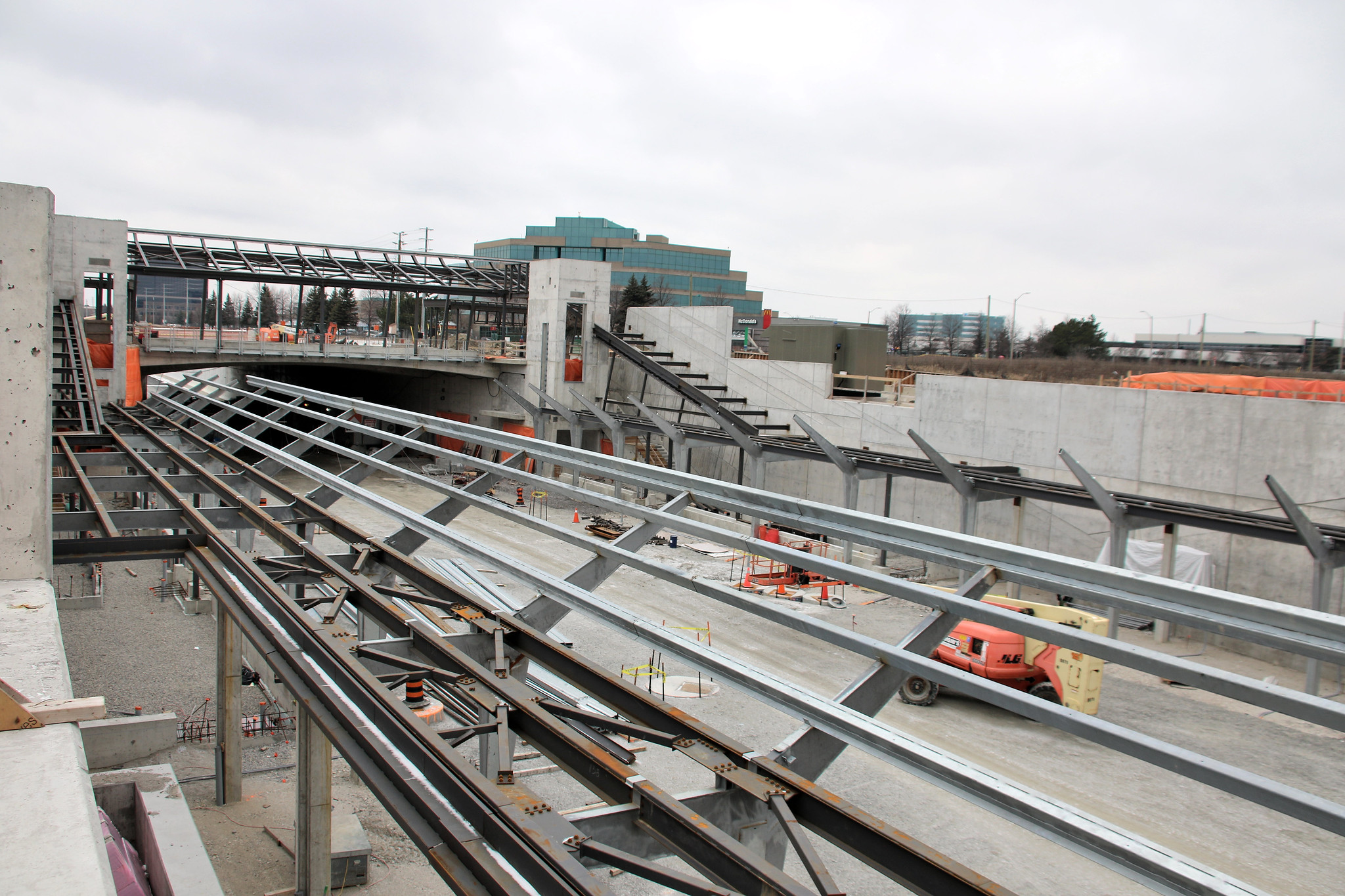
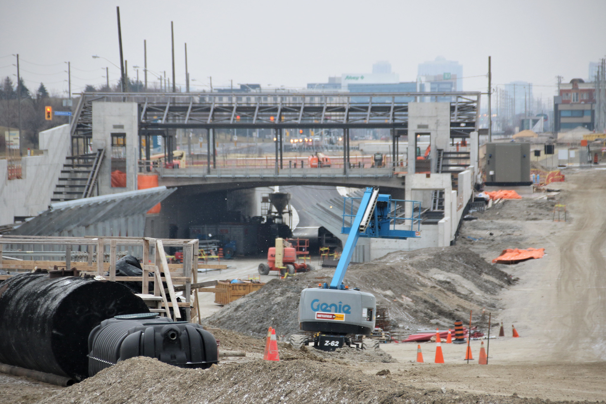
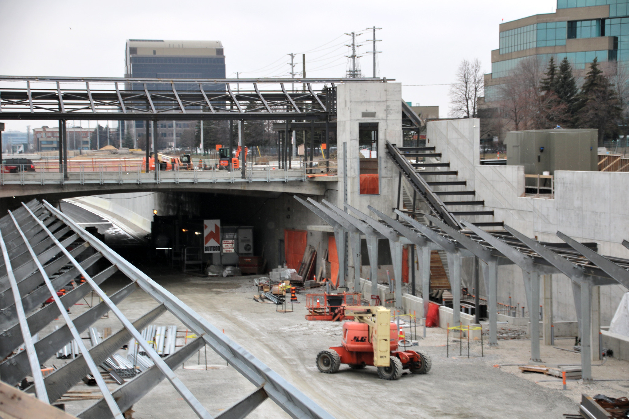
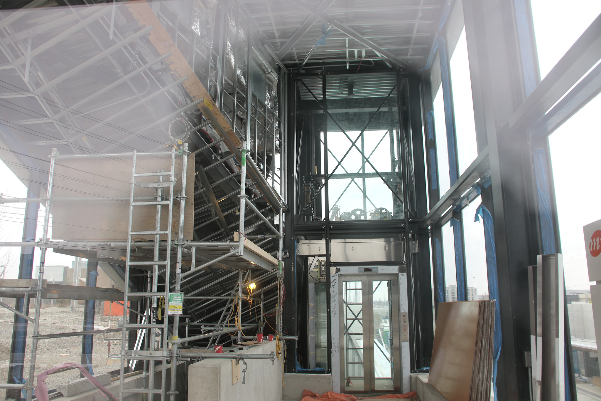
Sure enough, the next phase will not open until May based on what I saw today. Very little has taken place for the interior of both stations since my last visit.

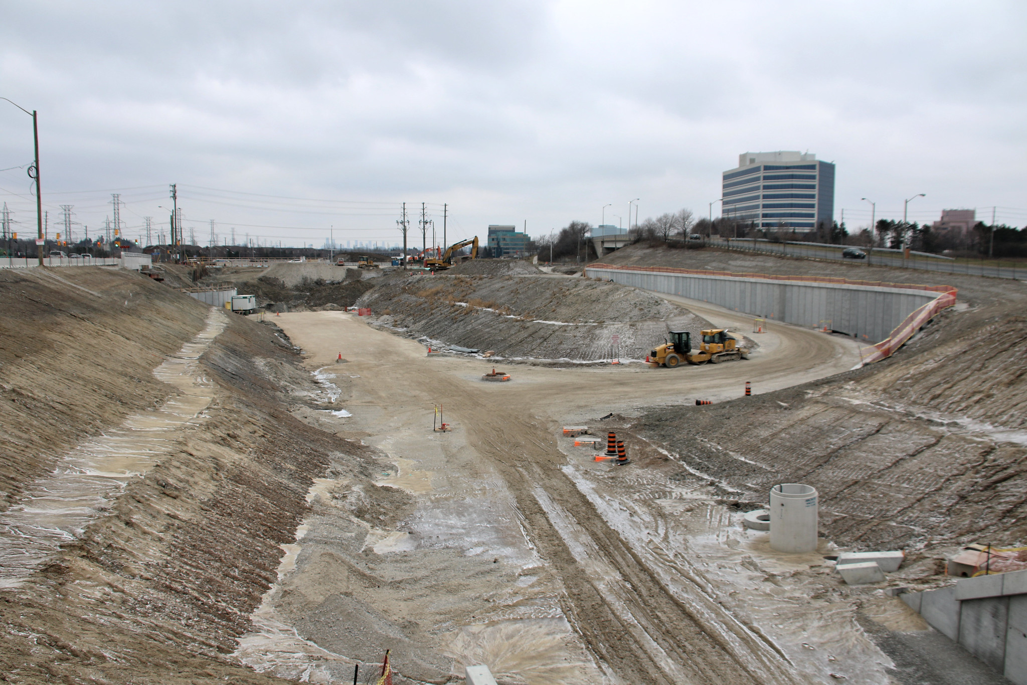
Looking at Renforth, it will not open in Sept and may not open at all this year.

Will try to get photos up tonight before going out of town for a few days.
 
Jan 27
Another 100 up on site
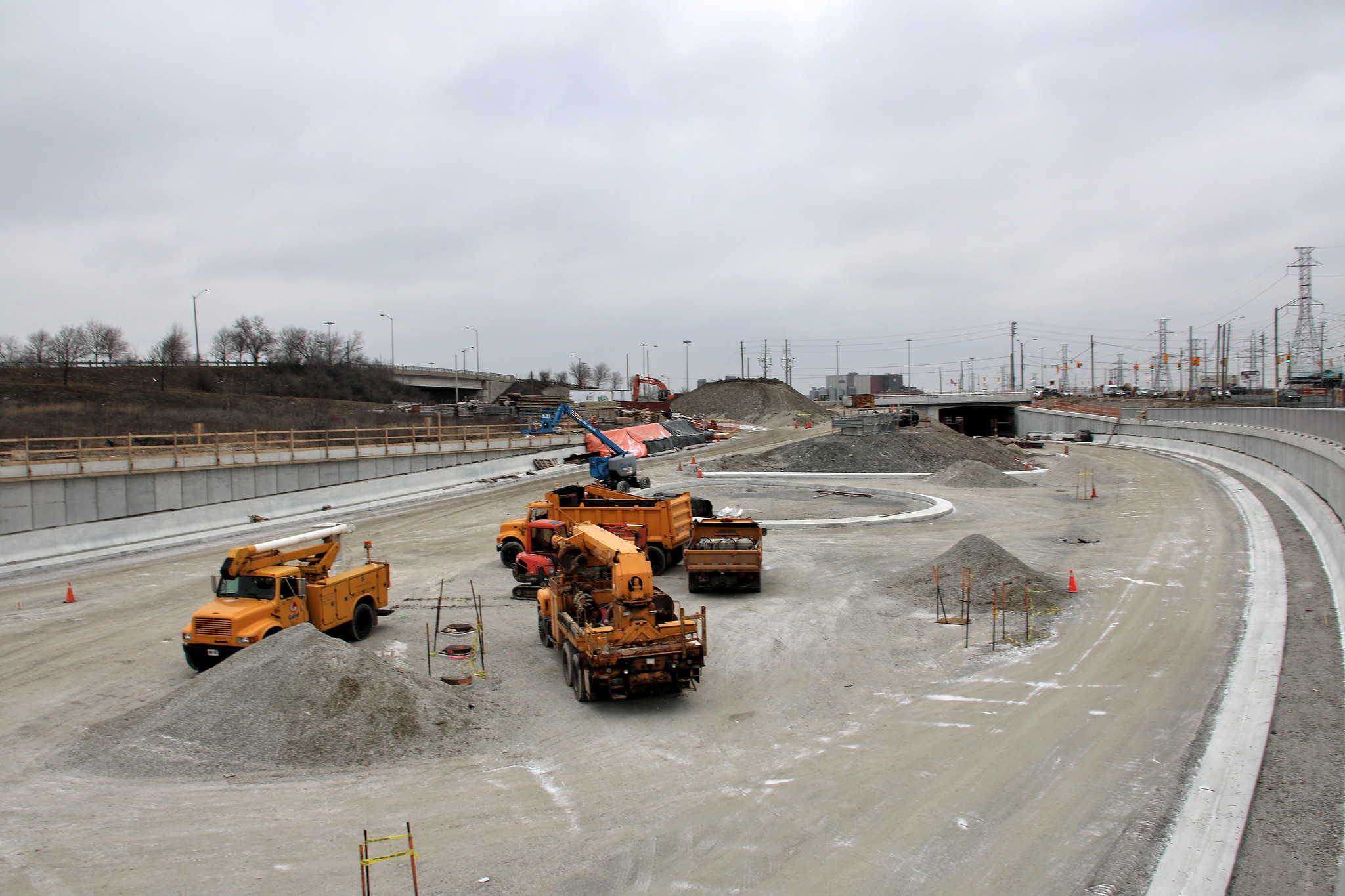
Hand railing in place for most of the south side and you can walk up to it and look down for Renforth.

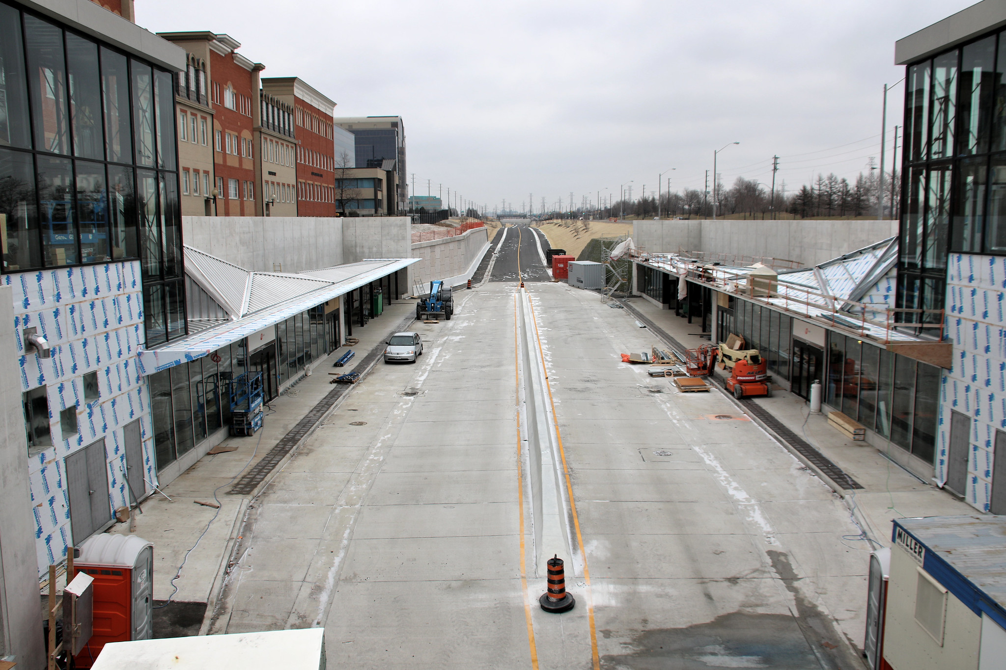
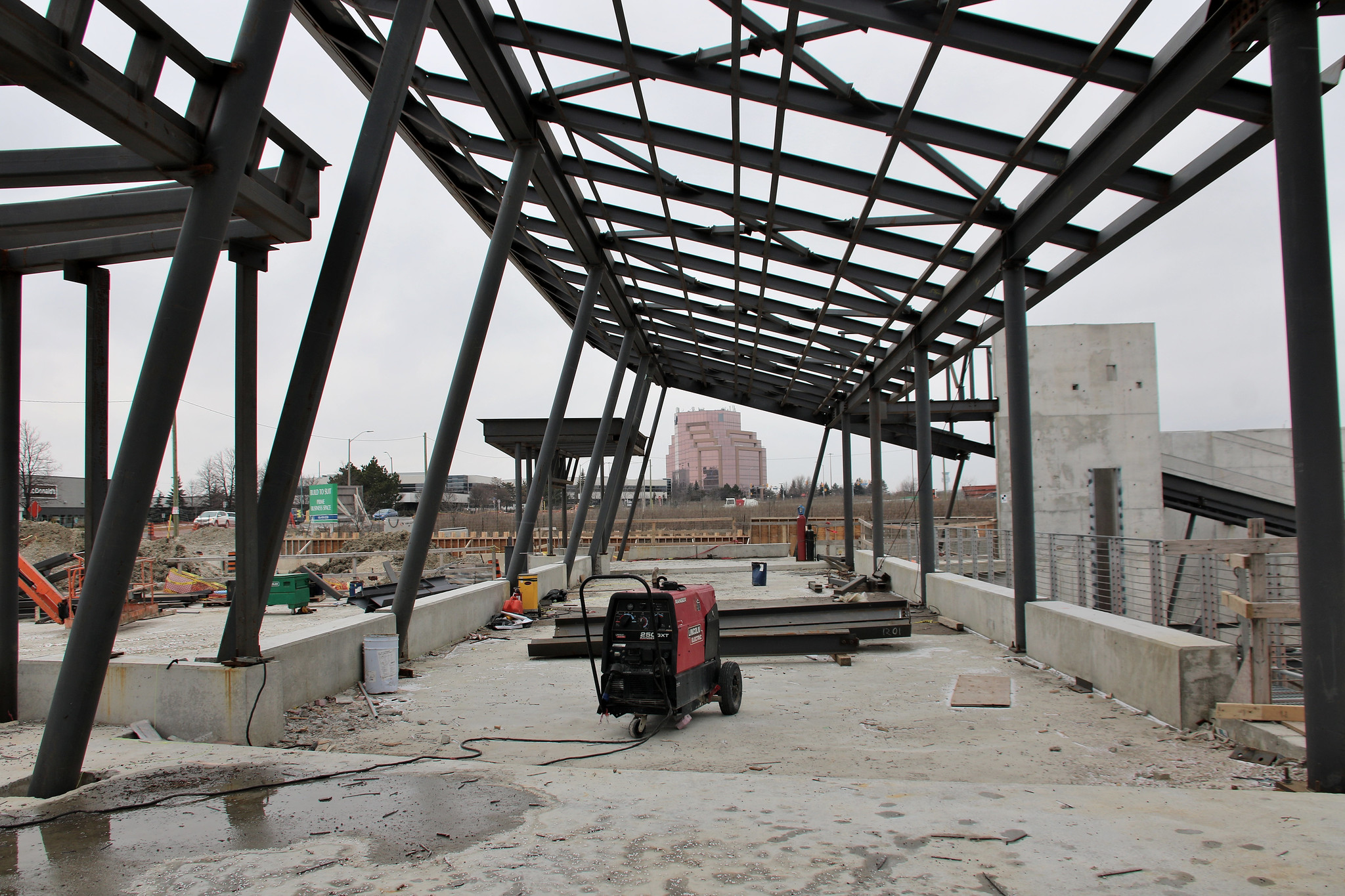
I guess I wasn't looking close at the Spectrum Station, as westbound entrance is square, not like the eastbound or other stations
32425457732_c20def8476_k.jpg

32425462312_aa4c446186_k.jpg

32578369255_e117ea918b_k.jpg

32199400150_355e63b1ef_k.jpg

32578399535_6217cfe619_k.jpg

32455964941_ee9628e140_k.jpg

31734704034_59173490a7_k.jpg

32455995901_2452c3ad2d_k.jpg
 
·MiWay will be servicing Spectrum and Orbitor Transitway Stations as of May 1st, 2017.

·Renforth Station is planned for opening in September 2017
 
What's the point of Cawthra Station? Looking at the line from Google Maps, its location makes no sense and serves no purpose. It is so close to Tomken Station that any buses or vehicles attempting to reach it could have just gone a tiny bit further to Tomken.
 
What's the point of Cawthra Station? Looking at the line from Google Maps, its location makes no sense and serves no purpose. It is so close to Tomken Station that any buses or vehicles attempting to reach it could have just gone a tiny bit further to Tomken.

I think that the 8 Cawthra bus is supposed to be routed away from Bloor/Mississauga Valley/City Centre and head straight up Cawthra Rd to terminate at the Cawthra Stn, if I'm not mistaken.
 
I think that the 8 Cawthra bus is supposed to be routed away from Bloor/Mississauga Valley/City Centre and head straight up Cawthra Rd to terminate at the Cawthra Stn, if I'm not mistaken.

Even then, the trip to Tomken would take maybe 30 more seconds. Seems like such a waste for just 1 bus route.
 
What's the point of Cawthra Station? Looking at the line from Google Maps, its location makes no sense and serves no purpose. It is so close to Tomken Station that any buses or vehicles attempting to reach it could have just gone a tiny bit further to Tomken.
It was a dumb place for a station from day one with no connecting bus route. Its the GO thinking that people will drive to these stations and so far, next to no one for this and a few other.

My recommendation from day one was to have a north-south route running from Lakeshore to Derry that would service this station

If plans remain as is come 2019, the #8 bus will run from Port Credit by the Lakeshore to the station with the remaining route kill. Going to piss a pile of riders off that use the current #8 route west of Cawthra that sees more riders than going south on Cawthra. Students will be major impact with the change. #53 does part of the valley today and will force current #8 riders to do a longer trip as well an extra transfer.

There is still no walkway from the residential area to the south that was to be there come opening date.

Route 14 will assume part of #8 current route, but will continue east to Dixie Mall and then onto Sherway. Going back to the long #8 route. I made the recommend over a decade ago and again back in 2004 EA days that the #8 be cut with a new route from Port Credit to Dixie Mall only, which is now going to happen with #14. Ridership doesn't justify taking #14 to Sherway, but the one seat ride is getting in the way at a greater operating cost.
 
Maybe one day the hydro lines will be buried, allowing some high density development along that corridor. Then all of those stations can be put to more use. 'Hydro One will never bother doing such a thing unless the government forces them too!' Remember that Hydro One is being privatized; if the land values increase to a point where it will make sense and generate a profit, they will.

For now though, at least it's a good bus expressway for those travelling longer distances, even with stations like Cawthra in between. I used to live in Weston, and would use the TTC + MiWay to get to Square One. Opening the initial segment of the transitway (Central Parkway-Dixie) shaved a good 10 minutes off that trip. Although if it was a trip continuing on to Guelph, the transitway added another few minutes to my GO bus when Erin Mills opened because of the loop-dee-looing.
 
What's the point of Cawthra Station? Looking at the line from Google Maps, its location makes no sense and serves no purpose. It is so close to Tomken Station that any buses or vehicles attempting to reach it could have just gone a tiny bit further to Tomken.

It was a dumb place for a station from day one with no connecting bus route. Its the GO thinking that people will drive to these stations and so far, next to no one for this and a few other.

I think you are right.....and they may have felt that being so close to where the 410/403/401 meet that they might get commuters using it for part of their trip.

I know that once (on a very special need basis) I did this...drove down the 410 from my home in Brampton to the transitway and took the bus to the subway to work.....I believe I was the only car in the parking lot that day and my observation was that it might be useful to me on some occasions (once the whole transitway was complete to renforth) but other than that not much utility at all.
 
Does anyone know which GO bus routes will use the Transitway east of Square One?

There might be some time savings by not using the 403 and the 401, but not much.
Also, after Renforth Station at the east end there is no easy way to get on to the 401 eastbound or the 427 northbound.
I'm thinking specifically about Routes 19 and 40.
GO is planning on a new route that will service Dixie, Renforth, Kipling and Union.

There is supposed to other route changes and will be known closer to the opening of Renforth
 

Back
Top