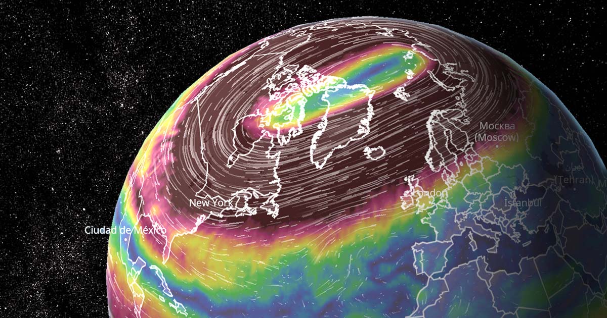
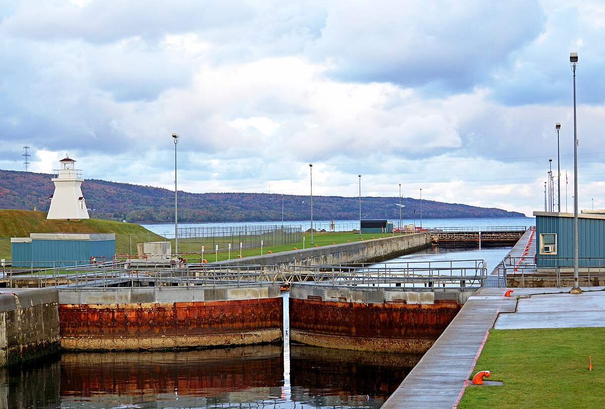
Weird (to me) that it appears to be going around Cape Breton rather than through the Canso Strait. There's a larger vessel going through it now (that big pink chevron), so it's not too big… why go all that extra distance? They wanna do some whale watching or something?Seems like the Lois M. is the tug pulling the bridge barge to Toronto.
It left the Cherubini Metal Works yard area in Halifax at about 15:30 today and is currently expected in Toronto on Sunday at 08:00. Not sure how accurate that estimate is.
It's the same tug (Lois M) that brought the Cherry St. bridge last year, as you can see from it's picture on the tracking link below.

LOIS M Current Position (Tug, MMSI: 316012280, IMO: 9017616) - MyShipTracking
Real-time and current position of LOIS M (Tug, MMSI: 316012280, IMO: 9017616) on ais live map is in Gulf of St-Lawrence with coordinates 51.17839° / -57.64939° and speed 9.3 knots as reported on 2021-07-26 19:04 by AIS live data.www.myshiptracking.com
Edited to add:
Hmm, this site seems to be showing more timely tracking with an ETA of May 12.
MarineTraffic: Global Ship Tracking Intelligence | AIS Marine Traffic
MarineTraffic Live Ships Map. Discover information and vessel positions for vessels around the world. Search the MarineTraffic ships database of more than 550000 active and decommissioned vessels. Search for popular ships globally. Find locations of ports and ships using the near Real Time ships...www.marinetraffic.com
42


