March 19, 2019
CONSTRUCTION NOTICE #9: Port Lands Flood Protection
PROGRESS UPDATE
Excavation continues on the first section of the new river valley. The new river valley will be part of a new parks and natural green spaces – when construction is complete in 2024, we will have created 41 hectares of parks and habitats for wildlife of all kinds, including about 6,000 new trees.
HIGHLIGHTS: WHAT’S HAPPENING THIS SPRING?
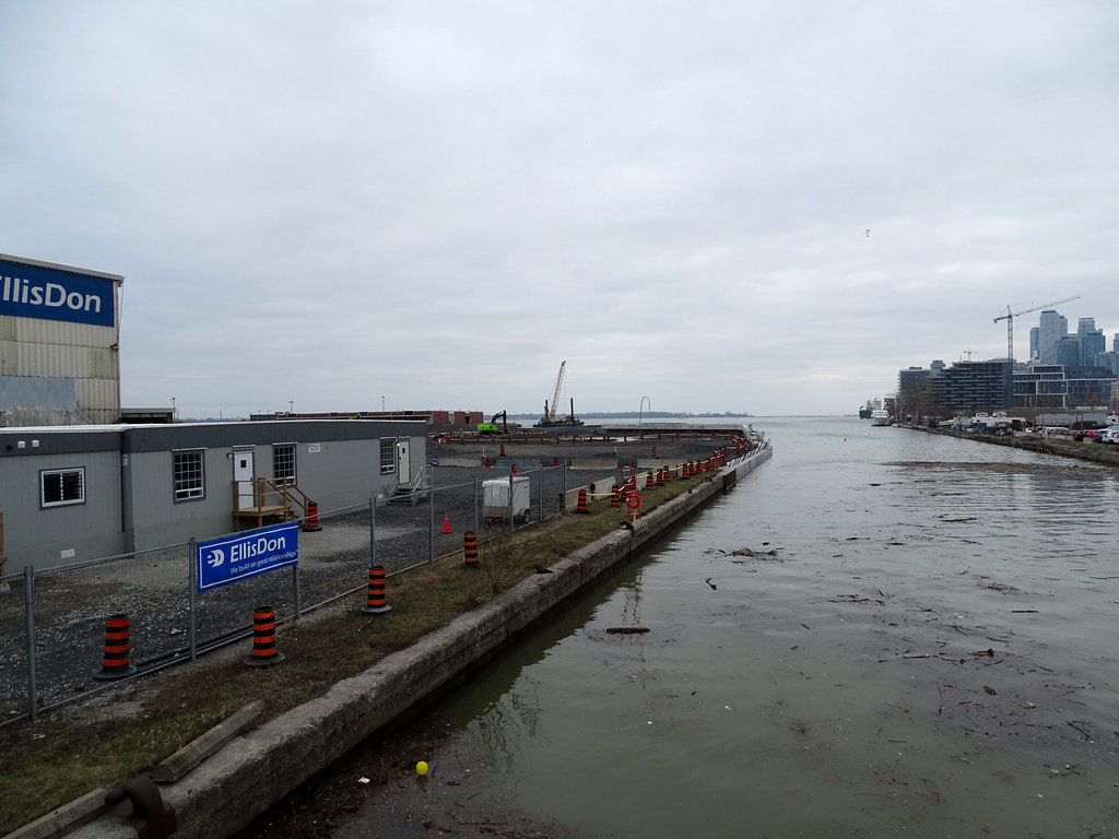
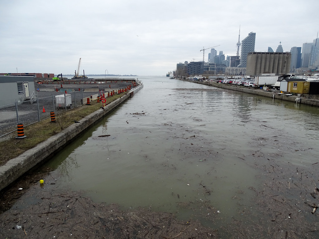
Excavation east of Cherry Street and south of Commissioners Street will involve excavators, bulldozers, front end loaders and rock trucks moving and stockpiling soils.
We will be clearing small trees and vegetation at several locations within the construction site, including in the future ice management area, west of Don Roadway and south of Villiers Street.
Throughout the month of March and early April, crews will be conducting geotechnical and environmental surveys throughout the site. Currently, crews are drilling in the area north of Keating Channel at Don Roadway to collect information that will helpplan the excavation and construction in the future Sediment Management Area. This won’t impact pedestrian, bicycle or vehicle traffic.
WHERE WILL WE BE WORKING?
- Area 1, 2: Construction on New Cherry Street and foundation for the new Cherry Street North Bridge. Existing Cherry Street and Cherry Street Bridge will remain open.
- Area 3: Soil stockpiling and tree removal.
- Area 4, 5: Excavation and shaping of new river valley.
- Area 5: Tree removal.
- Area 6, 7 and 8: Excavation, demolition and site preparation, including demolition of some existing buildings and tree removal.
- Area 6 and 7: Tree removal and demolition in the future ice management area. Once completed, this section of the Don River will help to break up ice in the winter and keep water flowing through the valley.
- Area 9: Site preparation and demolition at the site of the future Promontory Park South. This includes removing the remaining structure of the Marine Terminal 35 building and salvaging components of the building to be reused. For an overview of our plans to preserve elements of this building and build a commemorative structure in its place, please reference slide 25 of the August 2018 presentation to the Port Lands Flood Protection Stakeholder Advisory Committee. You can find that document at https://portlandsto.ca/wp-content/uploads/Final-presentation-SAC-3.pdf
WHAT TO EXPECT
- The bulk of this work is scheduled on weekdays between 6:00 a.m. - 6:00 p.m.
- The impact of this work on traffic will be minimal.
- During excavation and stockpiling, we anticipate some odours. For details about how we’ll monitor and manage odours during construction, read this summary of the Odour Monitoring Plan.
Removing underground obstructions as part of the excavation process.
Excavation of the new river valley.
CHERRY STREET LAKEFILLING – PROGRESS UPDATE
Lakefilling continues to create new land in the area highlighted in purple. Over 200,000 cubic metres of locally sourced clean material has been placed around Essroc Quay to form the northwest corner of the future Villers Island. The crew will continue with lakefilling and start the second stage of earthworks. Work on the new shoreline and fish coves is starting back up.
Left: The latest aerial image of the Cherry Street Lakefilling project, showing the new shoreline taking shape and new land forming south of Essroc Quay.
Right: A look at the stone that will be used to finish the new shoreline.
QUESTIONS:
To learn more about this project, please visit
portlandsto.ca. Use this
online form to send us questions or concerns about construction or email us at
plfp@ellisdon.com. For urgent construction related issues, please contact Cameron Coleman, EllisDon, at 416-464-3583.
/arc-anglerfish-tgam-prod-tgam.s3.amazonaws.com/public/NID6WZU6NBDKREZUU7VTNIK7LE.jpg)