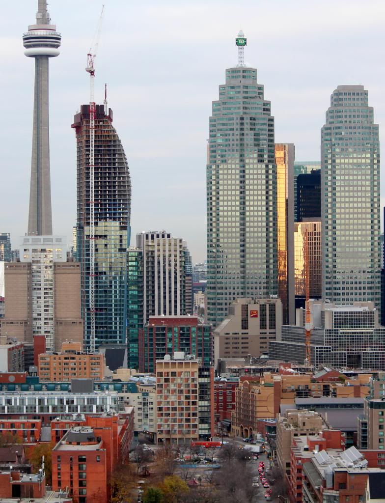
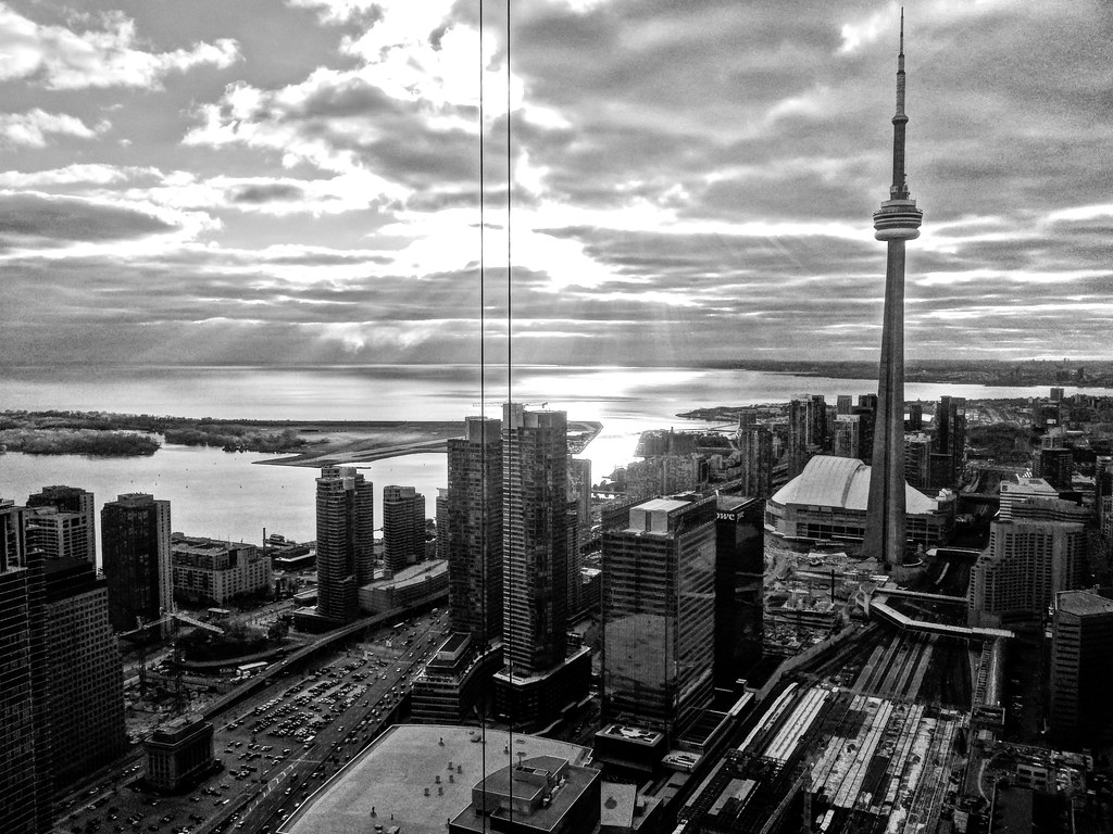
Toronto L-Tower | 204.82m | 58s | Cityzen | Daniel Libeskind

Well done

I reject this premise. Motorists would find new routes through the core to get to high volume inlets/outlets (DVP, Gardiner west of the ex). The ease of access to the city for drivers should not be a priority when building neighbourhoods. Having people wait at traffic lights to get out of downtown will not be the end of the world. That's my opinion.


PATH is nice but it doesn't compare to surface level public streets. PATH is operated by City of Toronto, but I don't like the weird pseudo-public/private nature of it. Nothing wrong with it per se, but I would prefer if we dedicated resources to improving the pedestrian realm at street level.

Basically, I think that emphasizing speed and convenience for people in cars, already the most convenient form of transport, over the safety and welcoming of pedestrians is a bad way to build a city. Out on the street is where all the excitement happens, where that special electricity sparks ideas and different types of people mix together. Right now, in the shadow of the Gardiner, that kind of electricity is absent. I predict that as more people move into offices and condos in this neighbourhood - including the L Tower* - and people want to get out of their office and walk around on their lunch hour, you'll hear more cries for the Gardiner to be torn down. We'll be better off if we do it sooner rather than later.

*(notice how skillfully I managed to keep this on topic?)


Mikey...I'm a previously prolific poster (older forum), but your refreshing perspective AND clever manner of integrating the topic into your post warrants both acknowledgement and a welcome to the forum! :)
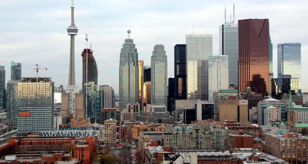
 
i'm guessing the water tank is to reduce sway in the building right?
and ya, aside from the fact that i was basically stranded, it was cool nonetheless, but Midtown didn't get anything compared to other hard hit areas. it appeared a lot worse on the news than it really was (save for lower manhattan)

and speaking of vacant lots, does anyone know what's happening to this lot?:
http://maps.google.ca/maps?q=60+har...onto+Division,+Ontario+M5J+1B7&gl=ca&t=h&z=19

it's pretty large in size and oddly right in the middle of the line of condos south of the gardiner.

Good question, steveve. I've been wondering this for a while my self.
 
I reject this premise. Motorists would find new routes through the core to get to high volume inlets/outlets (DVP, Gardiner west of the ex). The ease of access to the city for drivers should not be a priority when building neighbourhoods. Having people wait at traffic lights to get out of downtown will not be the end of the world. That's my opinion.

Well, I respect the tenacity with which you make the point, and I'm more or less sympathetic with it. But at the same time I'm just not sure it's entirely realistic. If you wanted my idealistic opinion, then yeah, I agree: let's put neighborhood building first. But yeah, I do think this is idealistic.
 
Taken Nov. 7, 2012:

IMG_0473.jpg


IMG_0467.jpg
 
London on the Esplanade

London on the Esplanade as seen from the top of the L Tower crane. SkyJacked sent me this dizzying picture and I added a bit of tilt-shift effect to it.


Photo taken November 6. Click on it to enlarge.
 
Last edited:
Crepuscular Rays

Crepuscular rays over Toronto. Another collaboration between SkyJacked and myself:
- Photographer = SkyJacked
- Photoshopper = udo


Photo taken November 5. Click on it to enlarge.
 
Last edited:
Little Planet

SkyJacked's "global view":


I am still feeding off the pictures and videos SkyJacked has posted for us. I have now created a 360 interactive panorama from screenshots taken off his videos plus some additional pictures he gave me access to. If you want to enter the resulting virtual reality in which you can drag and zoom in all directions then simply click on the Little Planet image. The link will take you to 360cities.net, where you can view the panorama ideally in full size mode, without the map and with hidden controls (once you have figured out how to move around the panorama with your mouse only).

If you are viewing the panorama on a smartphone then the phone will do the panning for you and show the image in whatever direction you are pointing the device to: north, south, west, east, up, down - very cool.
 
Last edited:

did you seriously do that?!?!?! that is INSANE! hollyyy.. it looks like it must have taken thousands of photos stitched together to get that detail/clarity!

Cityzen should DEFINITELY be paying you to use that on the website to market their building (although i'm pretty sure most of it is already sold out), but still nonetheless, EPIC.

hats off.. still can't get over how unbelievably cool this is. Now all I need is a 70inch tv to just play this thing on my wall all day and just look at it as if i were in the penthouse of l tower... one can dream :D
 

Back
Top