

unimaginative2
Senior Member
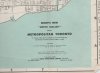
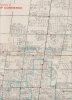
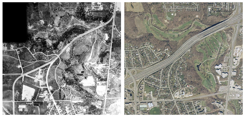
Was the Avenue/401 interchange always a parclo?
|
|
|
Just a little nit-picking, if you'll allow me.
Is "Hogg's Hollow" the accepted name for the valley directly under the 401 bridge?
I've always thought of Hogg's Hollow as the section of Yonge near the Jolly Miller (quite a bit south of 401 - at York Mills).
There was a need for it at the time, since York Mills Road and Wilson Avenue didn't meet... which you can see at the bottom; Wilson didn't even come down the hill to meet Yonge.

p.s. according to Google Maps, you can still take McGlashan to get from Mason Blvd to Yonge.

I'm reviving this thread because while searching the forum for info it seemed a good place to ask if anyone knows about the houses that used to be west off Yonge St just north of York Mills, before going north up the hill.
I can remember in the mid sixties going west off Yonge in a car and seeing what I remember as almost a village of shacks, later (1969?) I was back with a friend on bicycles and it was was mostly empty, I've always wondered about the history in that area.