


Mustapha
Senior Member
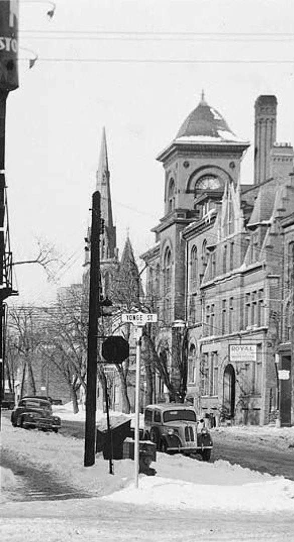
You're spot on about the Cemetery having once gone all the way to Yonge, as seen in this aerial photo. I think I read somewhere once that the long narrow shape of the cemetery is due to the fact that it used to be an airstrip.
Up until the mid-late 90s there was a public greenhouse at the cemetery. My mom and I would visit it in the winter months, it was cool going from -20 C and snow, to +20 C and lemon trees and cacti.
Hello and welcome HamiltonTransitHistory.
Thank you for three very interesting reminiscences.
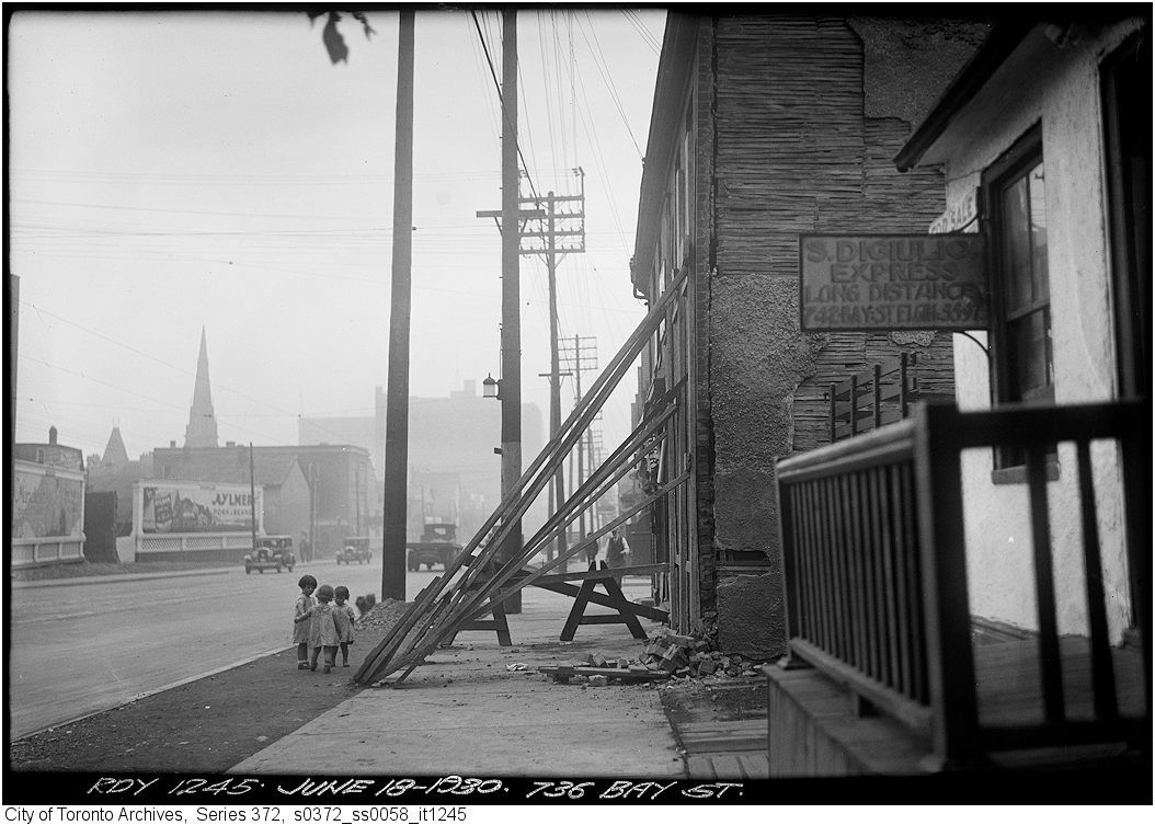
The York Cemetery was in fact an airfield in the 1920s. It's late as I type this and I can't find anything about it via Google. I'll try again tommorrow.
")