www.cermc.webs.com
The downloadable file is near the bottom of the cover page. You must have Google Earth already installed on your computer to view the map. Any portion of the map can also be uploaded to your mobile GPS unit for use in the field if it runs the .kml/.kmz file format, and most do.
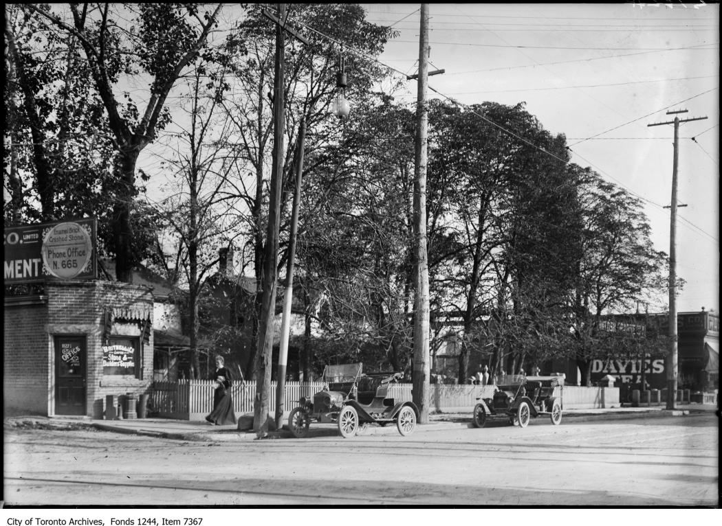
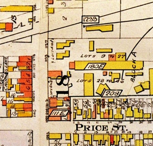
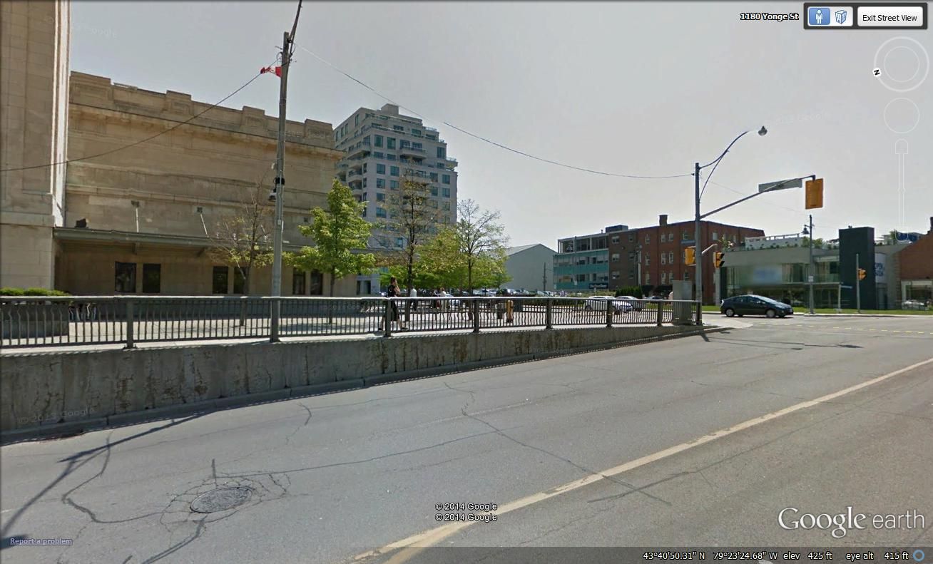
Current systems such as the TTC streetcars are marked in yellow, abandoned routes and historical systems are marked in amber. Where available, photos have been added to station/stop markers, and to the rail routes themselves. Just left click a mark/marker and the photos will load. In some cases where I have had time, you will find a camera icon. A double click on those icons will display the photos from the photographers point of view. Text information is included with each mark to inform you of the system you are looking at, and some systems like the Halifax street railway and the St. John street railway, all the marks are fully cited.
This work is offered for free and I make nothing off of the site traffic, so this is truely a labour of love. I spent all of last summer visiting every streetcar city across Canada doing research for this project and have not fully updated the map with this new information. If you are interested in following the updates as they happen, please take out a free membership on the website and you will receive notices when new updates are available.
I also live for criticism, so please feel free to let me know if you see something missing or incorrect.
Thank you Mustapha for this opportunity to share with everyone.
I also have links to my other projects for the class 1 railways in Ontario and Quebec at the bottom of the home page.
Paul
