News   Jan 08, 2025
 841     0 
News   Jan 08, 2025
 1.2K     1 
News   Jan 08, 2025
 574     1 

Miscellany Toronto Photographs: Then and Now

Then and Now for September 14, 2012.


Then. Women munitions workers play a game of baseball at the John Inglis Co. Bren gun plant. May 10, 1941.
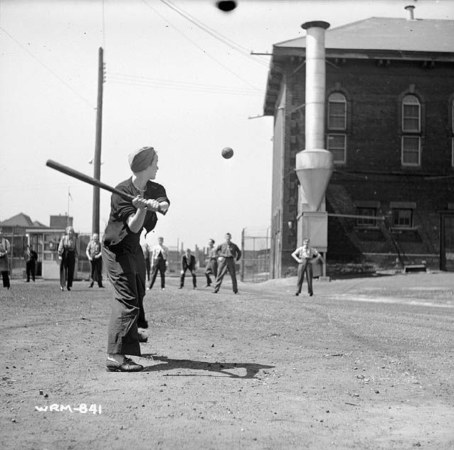
771WomenmunitionsworkersplayagameofbaseballattheJohnInglisCoBrengunplanmay101941.jpg


Now. May 2012. 'Liberty Villlage' neighbourhood. Looking W at the NW corner of Liberty and Pirandello Streets.

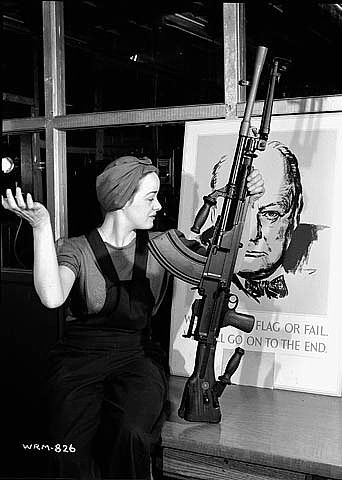
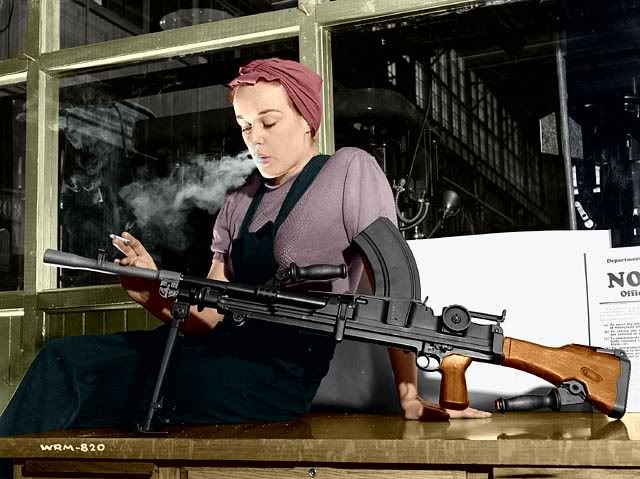
Lots of history in these two photos. As this is a daily thing for me, I'll condense/distill it as best I can. In the old picture that is 'Ronnie the Bren Gun Girl' at bat. A famous lady; Google her, lots of info and pictures. She worked for the John Inglis Co. in 'war work' producing Bren Machine Guns.

Ah, Veronica Foster, the Bren Gun Girl, Canada's badass version of Rosie the Riveter.......
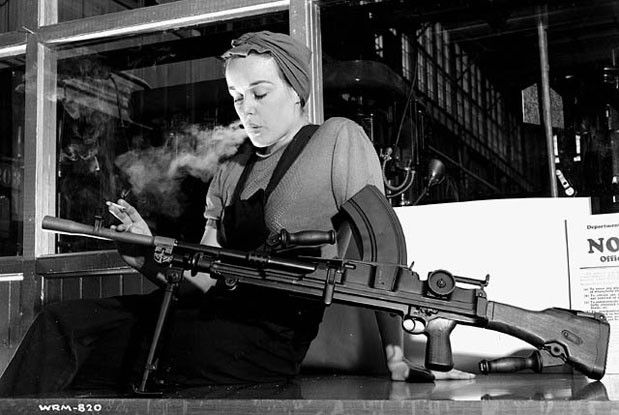
brengungirlveronicafoster1941.jpg


brengungirlveronicafoster1941a.jpg


brengungirlveronicafoster1941b.jpg
 
Last edited:
Ah, Veronica Foster, the Bren Gun Girl, Canada's badass version of Rosie the Riveter.......
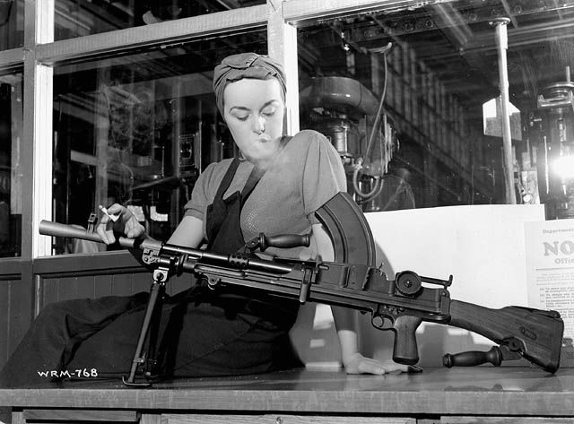
brengungirlveronicafoster1941.jpg

These days ("badass") Veronica would have enlisted and be carrying a similar weapon in Afghanistan.

Great series, guys!
The Inglis area of our city is a treasure-trove of history.
Let's hope the preserved building will soon be open to the public.
 
Purty.
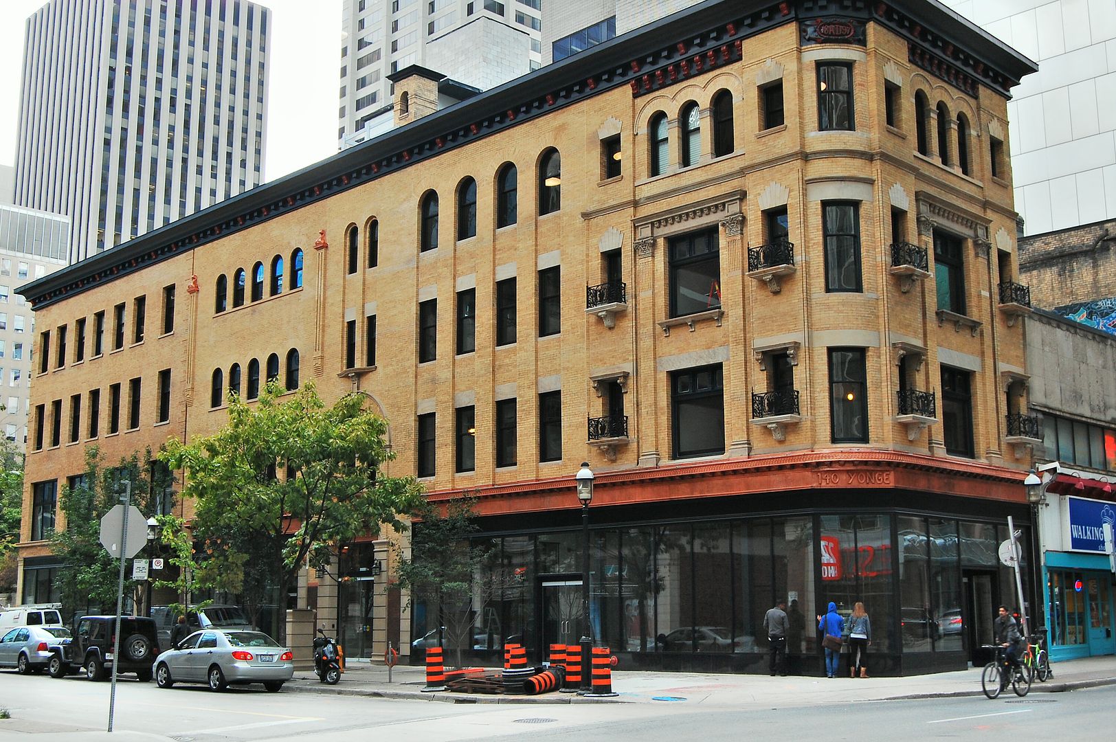
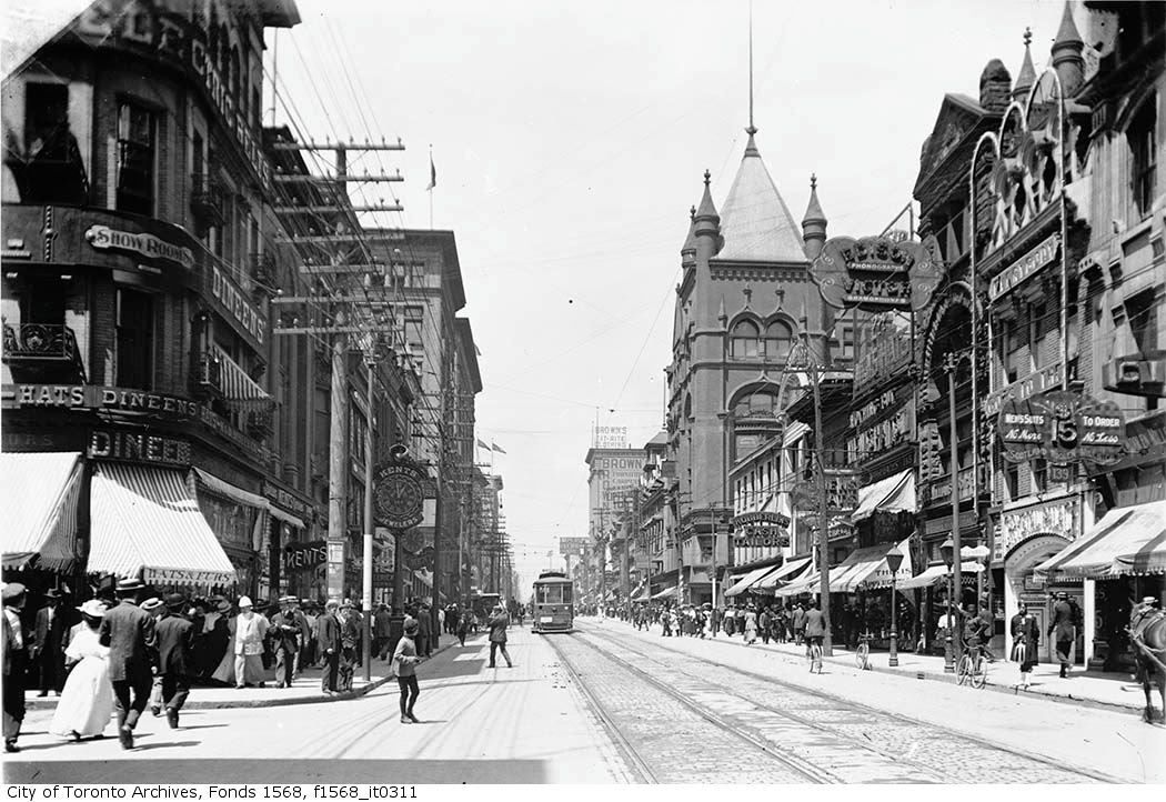
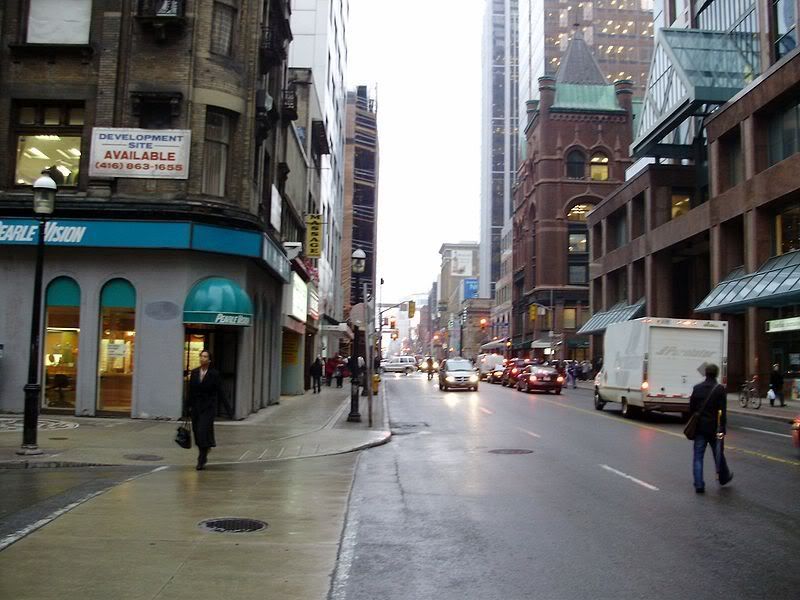
Can we get a then and then and then and now?

1903_Yonge_Street_at_Temperance_Tor.jpg


f1257_s1057_it8937.jpg


800px-2008_Yonge_Street_at_Temperan.jpg


CSC_5751.jpg

Three Thens before the Now. A record. Thanks Anna. It's almost time lapse photography. :)

And I appreciate your recycling my older Now pictures into Then pictures.
 
Last edited:
Then and Now for September 17, 2012.


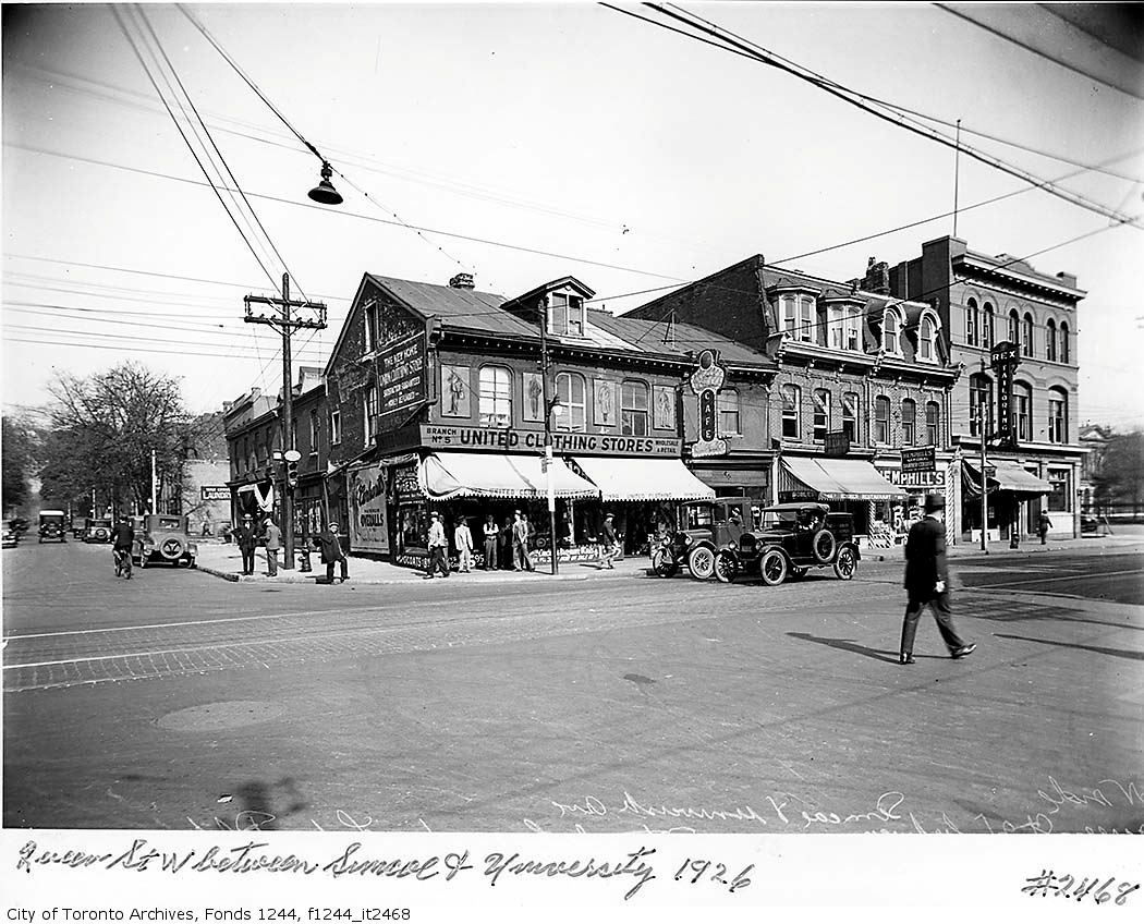
Then. 'Queen St. W between Simcoe and University. 1926.'

773.jpg


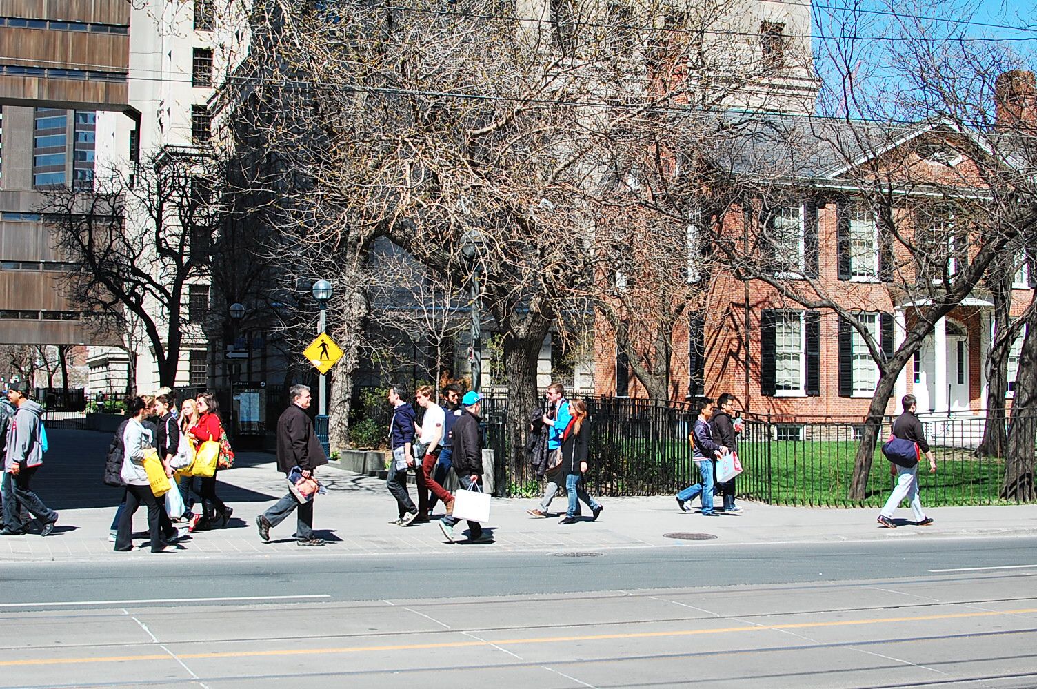
Now. April 2012. 'Campbell House' is situated where the backyards of those stores would have been. Campbell House of course was moved here in the early 70s from its original location on Adelaide at the top of Frederick street.

774.jpg
 
Then and Now for September 18, 2012.


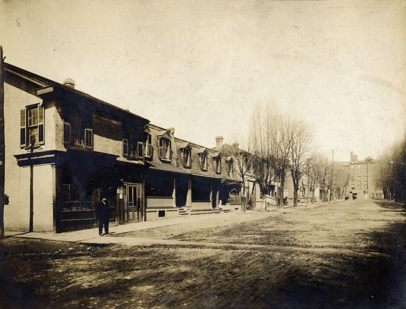
Then. View of Chestnut, looking N from Christopher Street. 1907.

Hard to believe our downtown hospital district was a residential area for a time - from about the mid 1800s and up until about the early 1940s.

785chestnutstnfromchristopherc1907.jpg


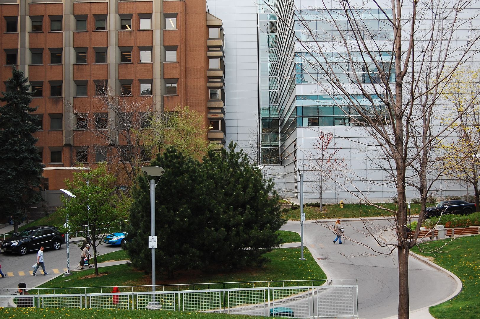
Now. June 2012.

786.jpg


Christopher street doesn't exist at all anymore. Nor does Chestnut, at least north of Edward street.

For a great way to research the comings and goings of Toronto street layouts over the years check out UTer plink's Goads Maps:

http://skritch.blogspot.ca/2012/04/goads-atlas-of-toronto-online.html

A great link we've seen before but too useful not to merit an occasional reminder.

.
 

Back
Top