


Mustapha
Senior Member
At 30 Wellington East, COCO's Deli, half is not working, but neon none the less.
Kay is the propietress.*
Regards,
J T
*See, I do use my dikionery!
"propietress". Expert piemaker?
")
|
|
|
At 30 Wellington East, COCO's Deli, half is not working, but neon none the less.
Kay is the propietress.*
Regards,
J T
*See, I do use my dikionery!
At 30 Wellington East, COCO's Deli, half is not working, but neon none the less.
Kay is the propietress.*
Regards,
J T
*See, I do use my dikionery!
September 12 addition.
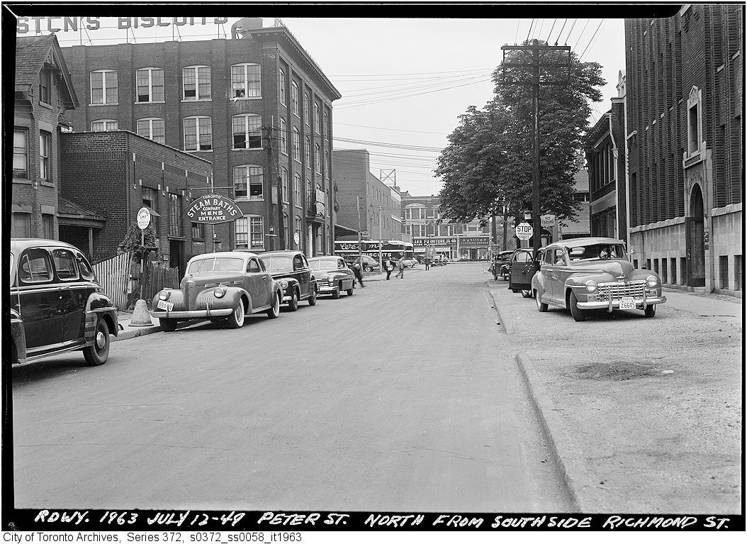
Then. "Peter st. north from southside Richmond st." Slightly confusing photo caption... that's Richmond street at the stop sign.
July 12, 1949. Ee-eew, Steam Baths.
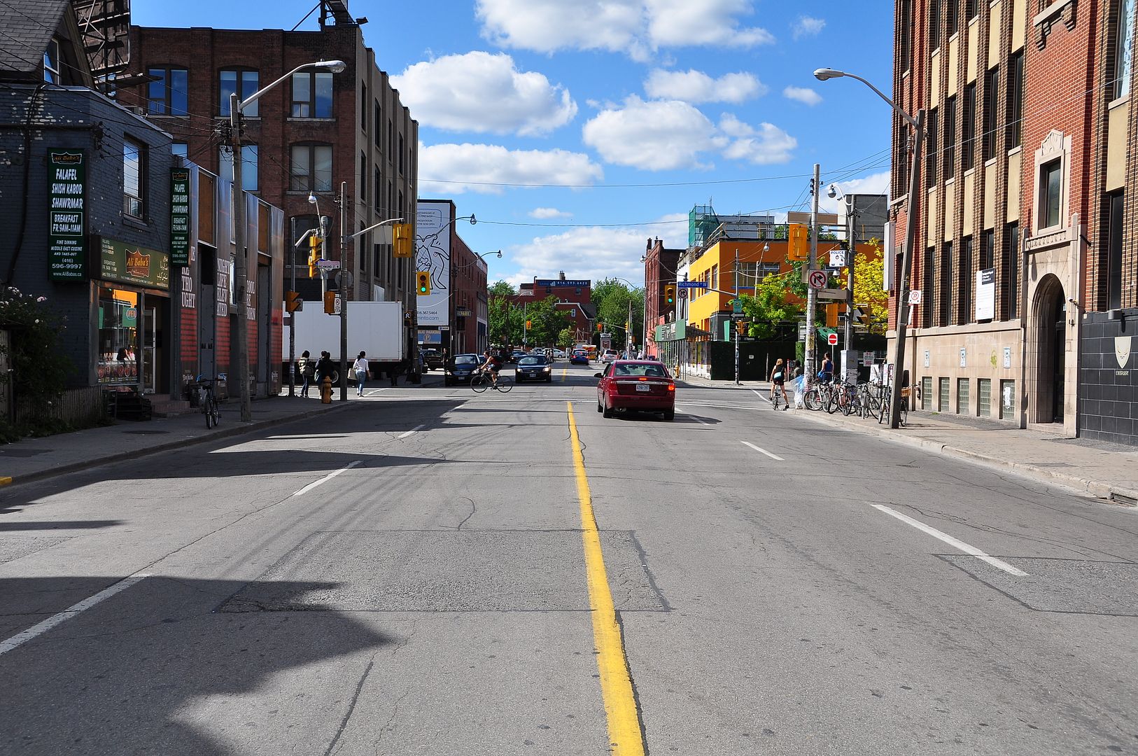
Now. June 2010.


September 12 addition.
Then. "Peter st. north from southside Richmond st." Slightly confusing photo caption... that's Richmond street at the stop sign.
July 12, 1949. Ee-eew, Steam Baths.
Now. June 2010.
Is it possible that in 1963 the jog connecting Richmond east and west of Peter had not yet been implemented?


We should put together a series of photos looking down one-way streets the "wrong" way (i.e. Queens Park Crescent East looking south, York looking south, Adelaide looking west, Richmond looking east.....). It's a whole new way of looking at familiar scenes.
Is it possible that in 1963 the jog connecting Richmond east and west of Peter had not yet been implemented?
The widening of all the streets in King/Spadina in terms of the public realm was not a good thing. Not to reactivate the mythical "war on the car", some of these lost ROW's should be reclaimed for pedestrians. Perhaps if we had an Urban Design section in City Hall that actually did urban design instead of interfering with development applications, this could already be on the books as the area transitions away from Clubland (an issue for Councillor Vaughan to take up?).
BTW, Mustapha, you don't like steam baths?
Long time lurker, here!
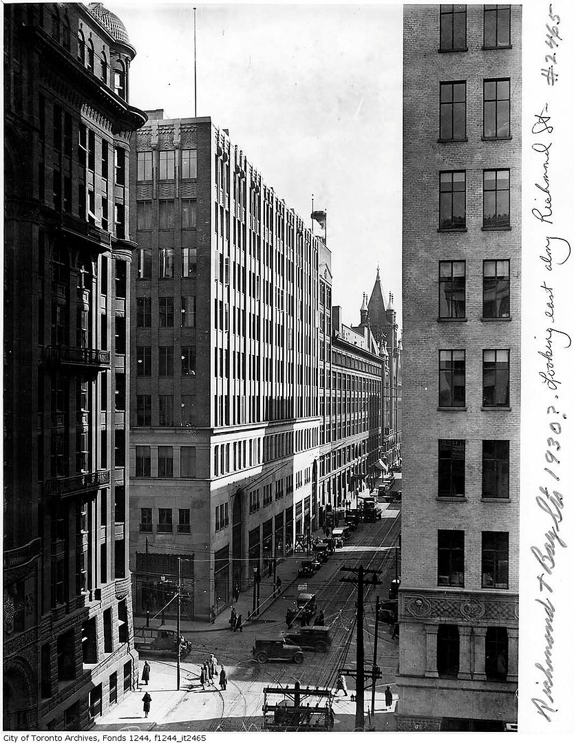
That's an eery picture. I worked at Bay and Richmond from 2007-2009 (I'm fairly young) and recognized that intersection immediately. It's changed very little (even though that building on the NW corner is either gone or drastically renovated). I worked in the building on the SE corner.
I was born in 1981 so I don't have a ton of memories of old Toronto, but weirdly, seeing a lot of the pics from the 60s/70s reminds me of the Toronto I used to know as a child when my dad would take me to the Ex for a blue jays game or something. Did downtown Toronto change very much from the 60s to the late 80s, or would the changes from ~1990-2010 be considered much more dramatic or what?
Finally made a trip to Exhibition Park, although I missed the CNE this year.
I particularly wanted to attempt this 'Then & Now' which is similar to Mustapha's recent effort.
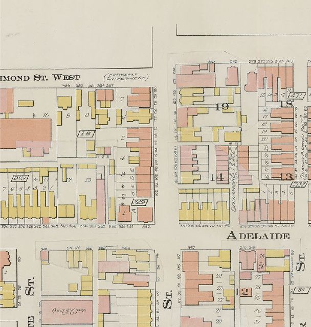
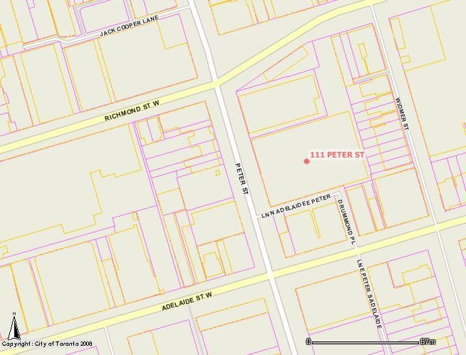
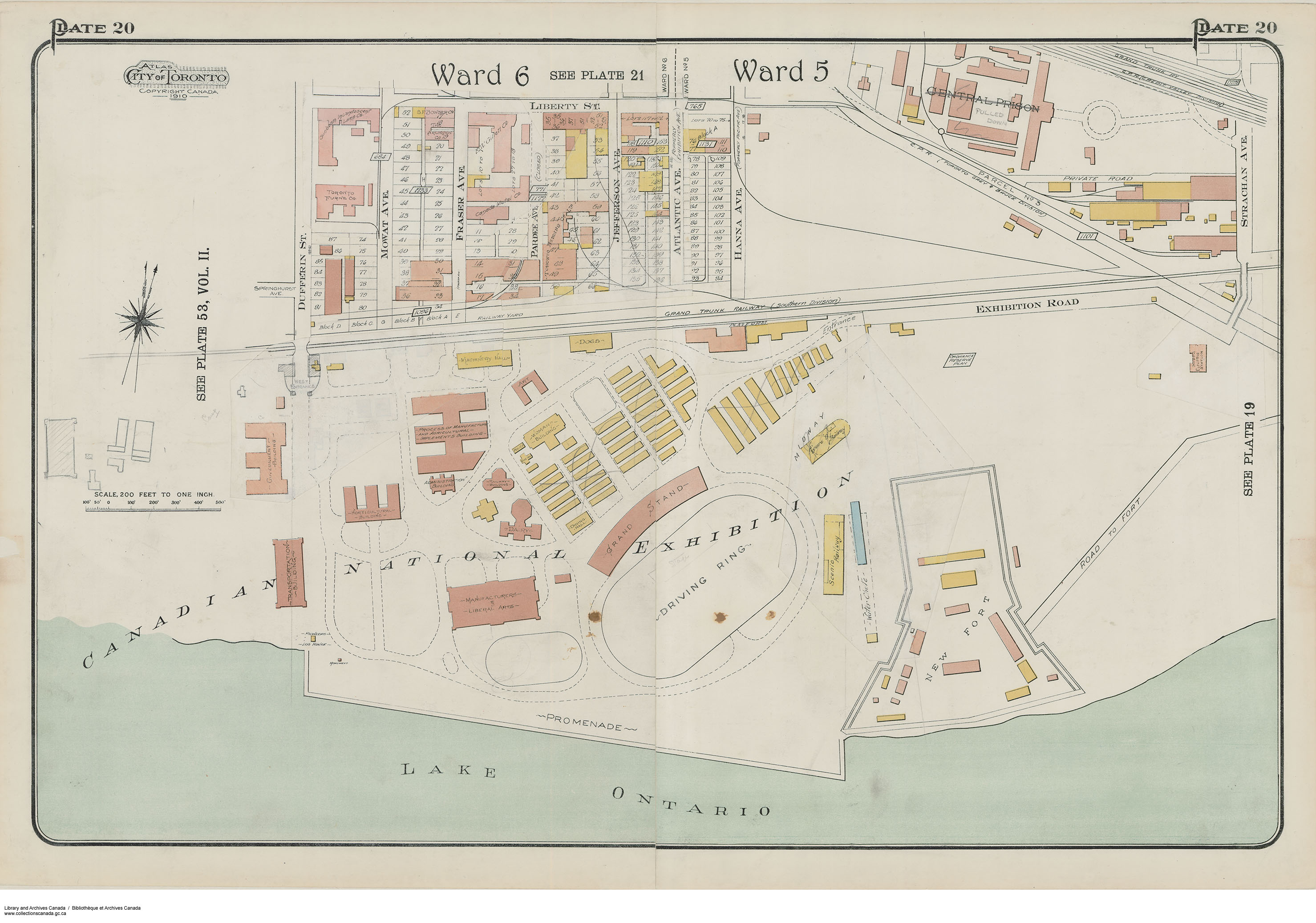
Those "long gone" buildings are identified on these maps that Anna dug up a couple of weeks ago.
Here is Goad's from 1910 - marked up with changes.
The Railway Building is now the Music Building.
.
).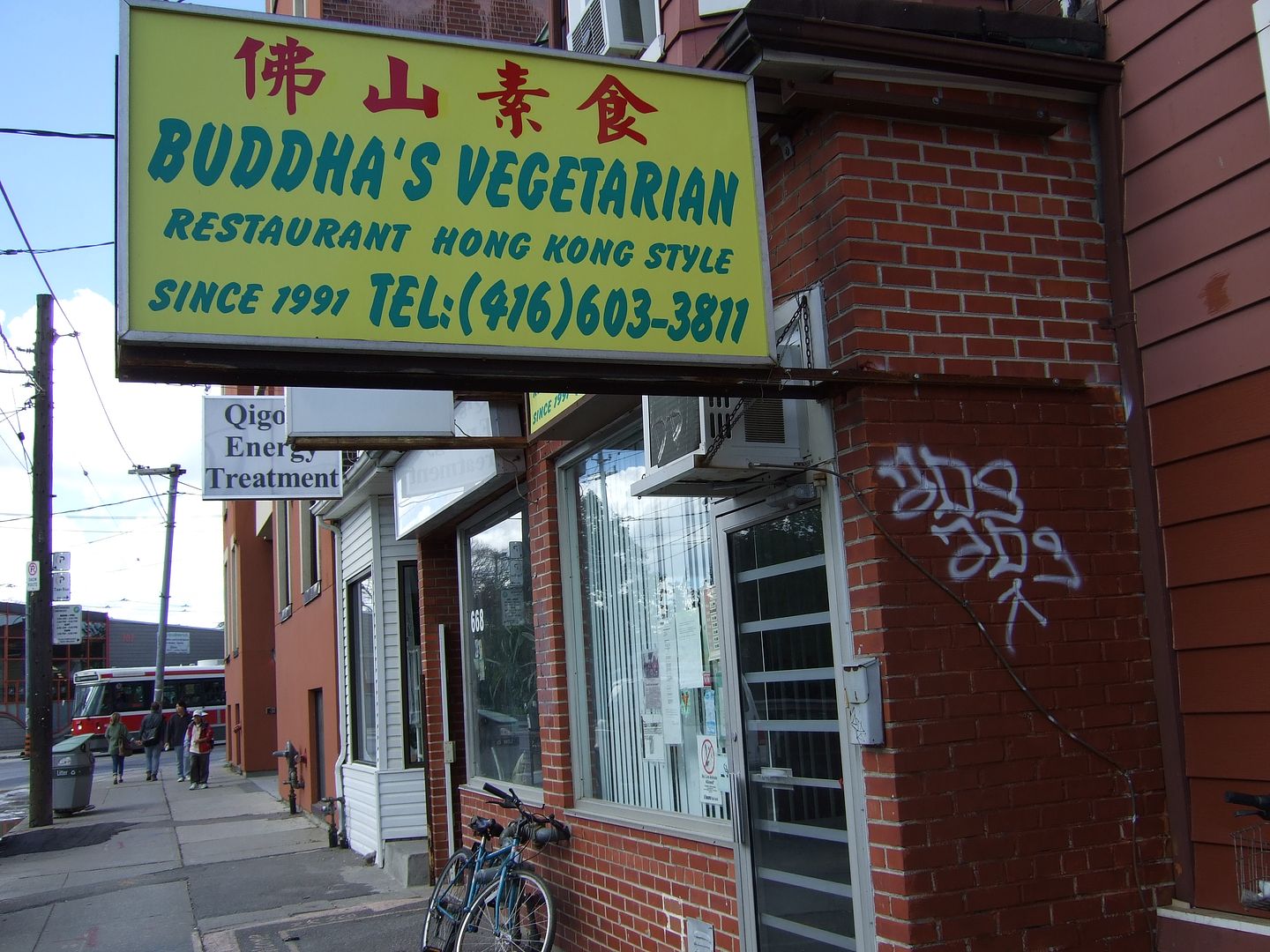

Favourite restaurant of the 80's - 90's, KAM KUK YUEN n/s Dundas, east of Spadina.
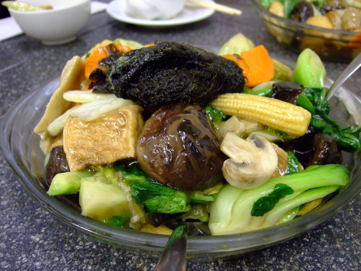
Favourite dish - chile pickle noodle soup, without the soup.
Regards,
J T