News   Jan 08, 2025
 863     0 
News   Jan 08, 2025
 1.3K     1 
News   Jan 08, 2025
 580     1 

Miscellany Toronto Photographs: Then and Now

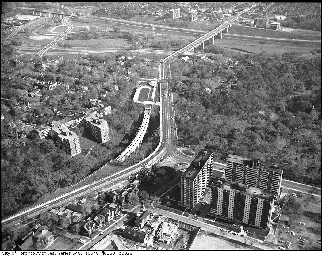
That Toronto Hydro right of way / collection of streets or whatever it is that runs parallel to the Danny just to the north of it stands out quite clearly, too.
 
8544c1b0.png
.
 
This 1965 photo from the series 'Bloor-Danforth subway from the air' shows St. James Town construction in mid-stream. The two buildings across the Don valley are also under construction.

s0648_fl0180_id0031.jpg

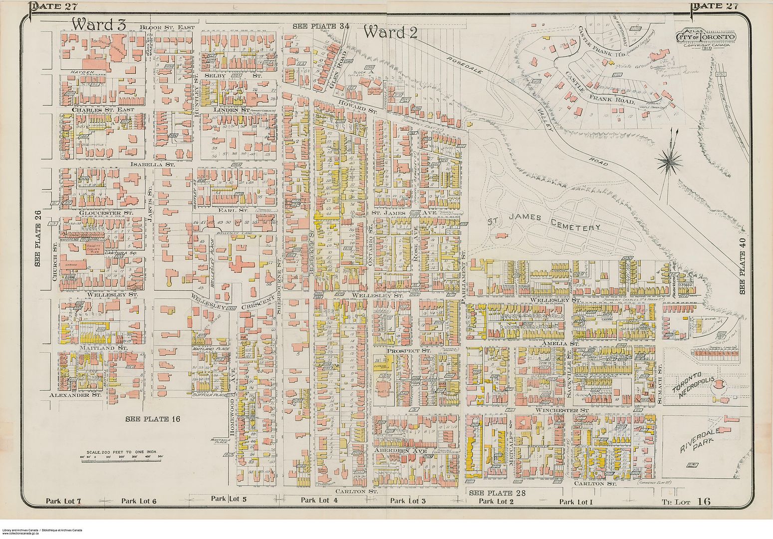
Anna: What a great picture! It's interesting seeing the block bounded by Bloor, Parliament, Howard and Sherbourne largely intact. I know that there have been some previous threads about this block (particularly focused on the boarded up Glen Road properties), but I'd like to post a few pictures that trace the decline of Howard Street starting with the construction of the Bloor Street Viaduct.

Prior to the construction of the Viaduct, Howard Street was a main route to east downtown (and across the Don Valley off of Winchester) connecting Bloor to Parliament via both Sherbourne and Howard. It was also a solid middle-class suburban neighbourhood, close to the mansions of Sherbourne St., connected by the Glen Road bridge to the leafy enclave of Rosedale, yet just south of the city limits, almost semi-rural given the ravines to the north and east.

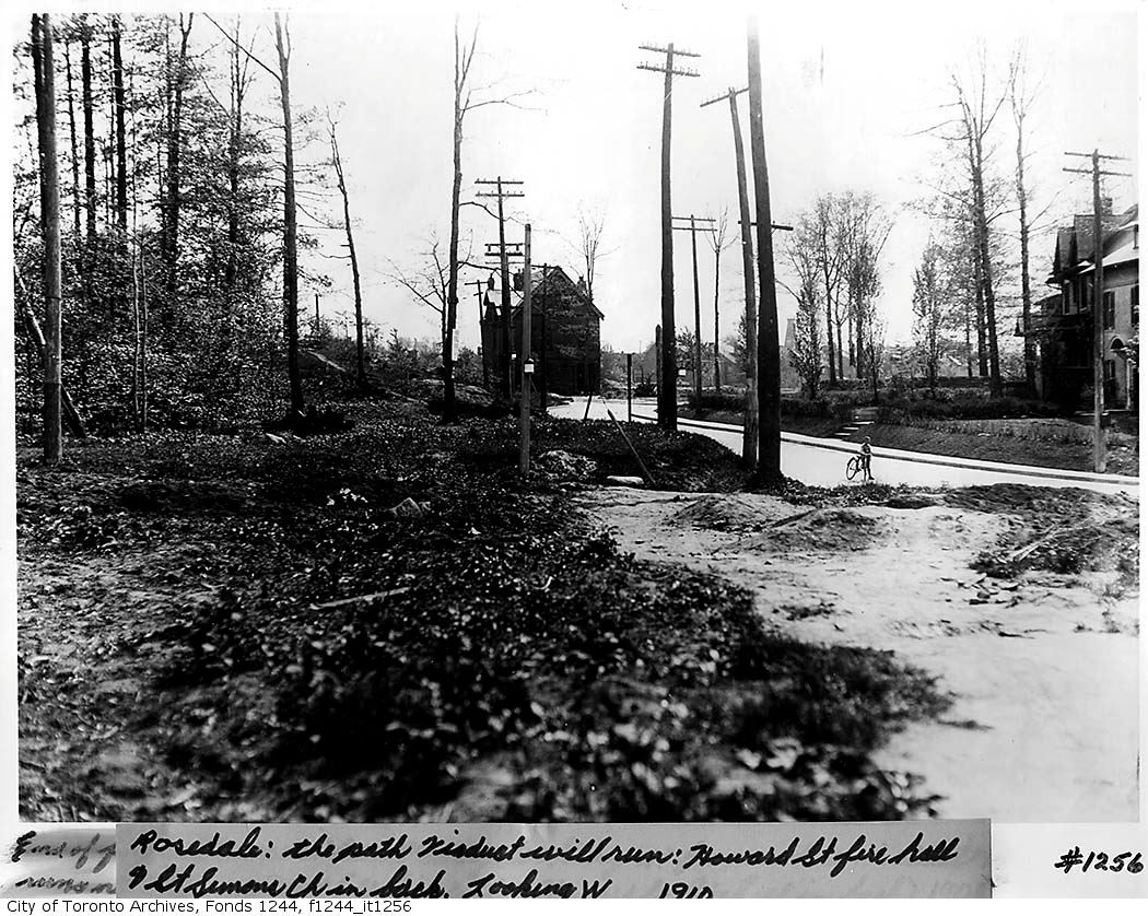
1910:
1910.jpg


1910-2.jpg


Howard Street 1910:
howard1910.jpg


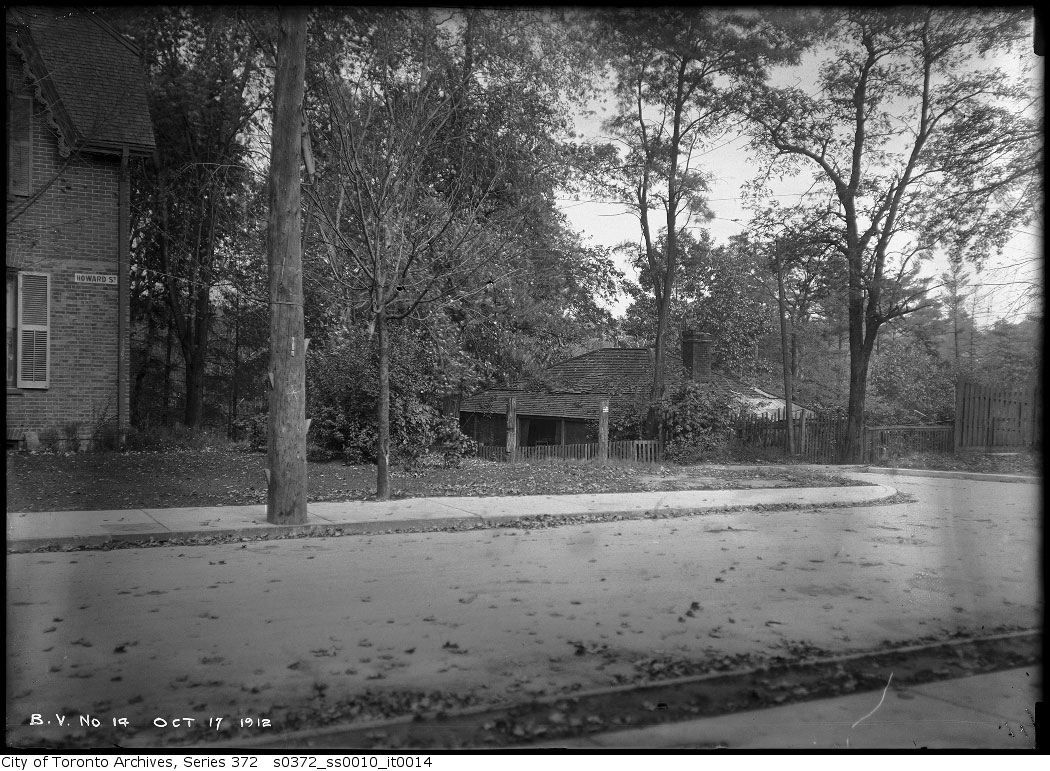
Oct.17, 1912:
howard0ct171912-1.jpg


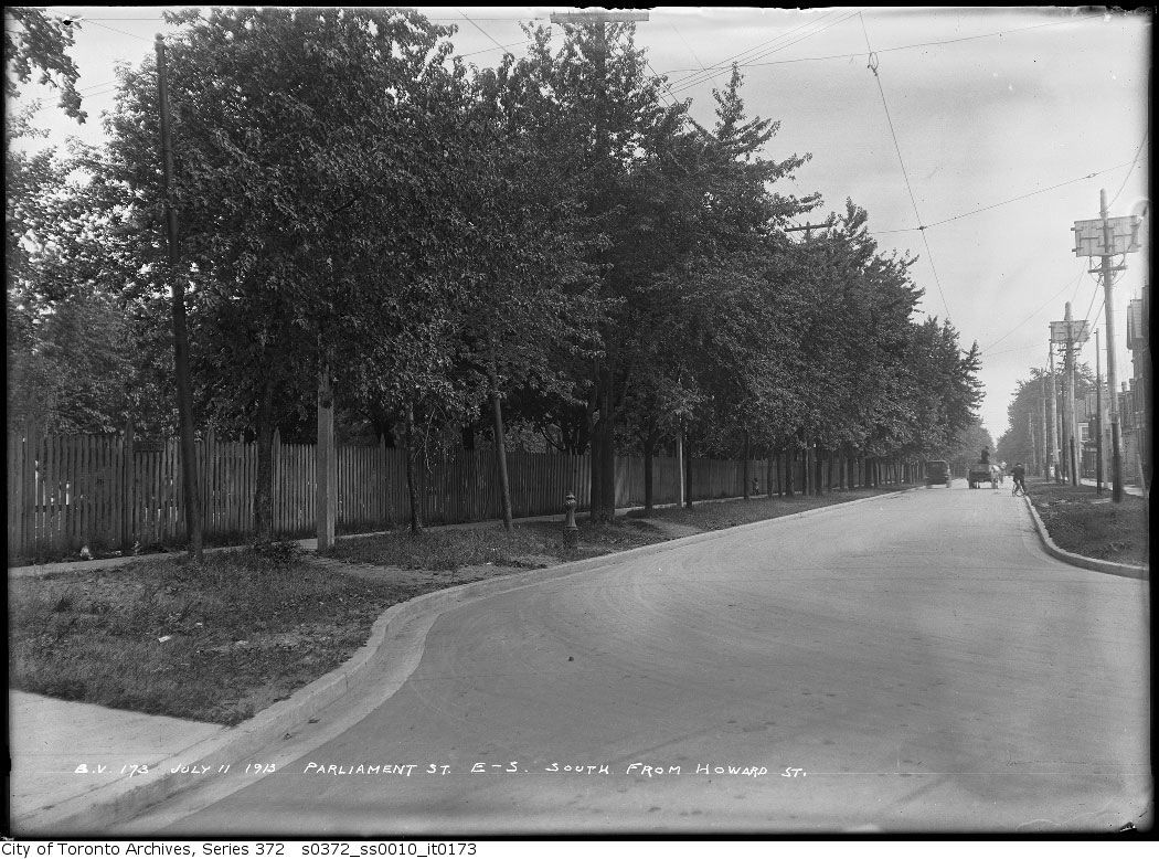
Parliament looking south from Howard 1913:
parliamentjuly111913.jpg


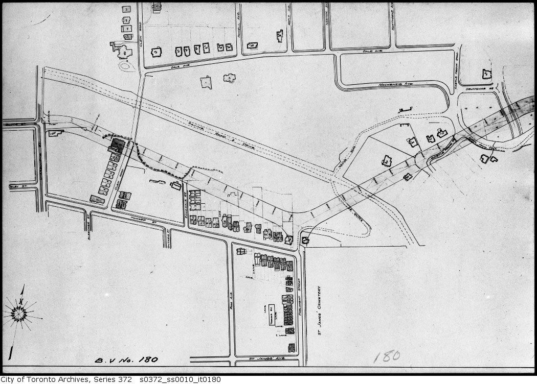
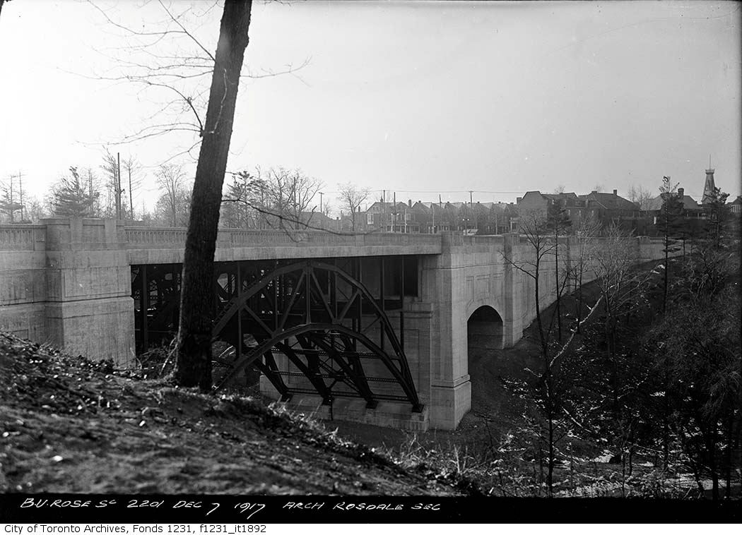
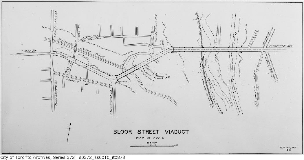
Howard Street would change forever with the construction of the Bloor Street Viaduct, which ran through the back yards of the houses on the north side, and necessitated the demolition of a few houses at the Howard/Parliament intersection:

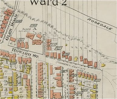
Plan June 14, 1913:
june41913.jpg


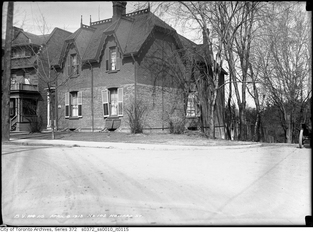
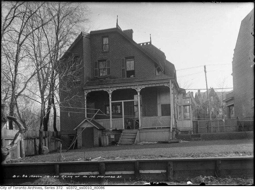
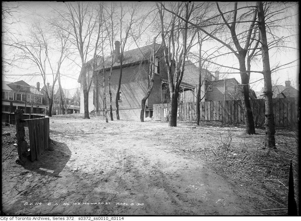
102 Howard (to be demolished):
howardapril81913.jpg


howardmarch141913.jpg


howard101.jpg


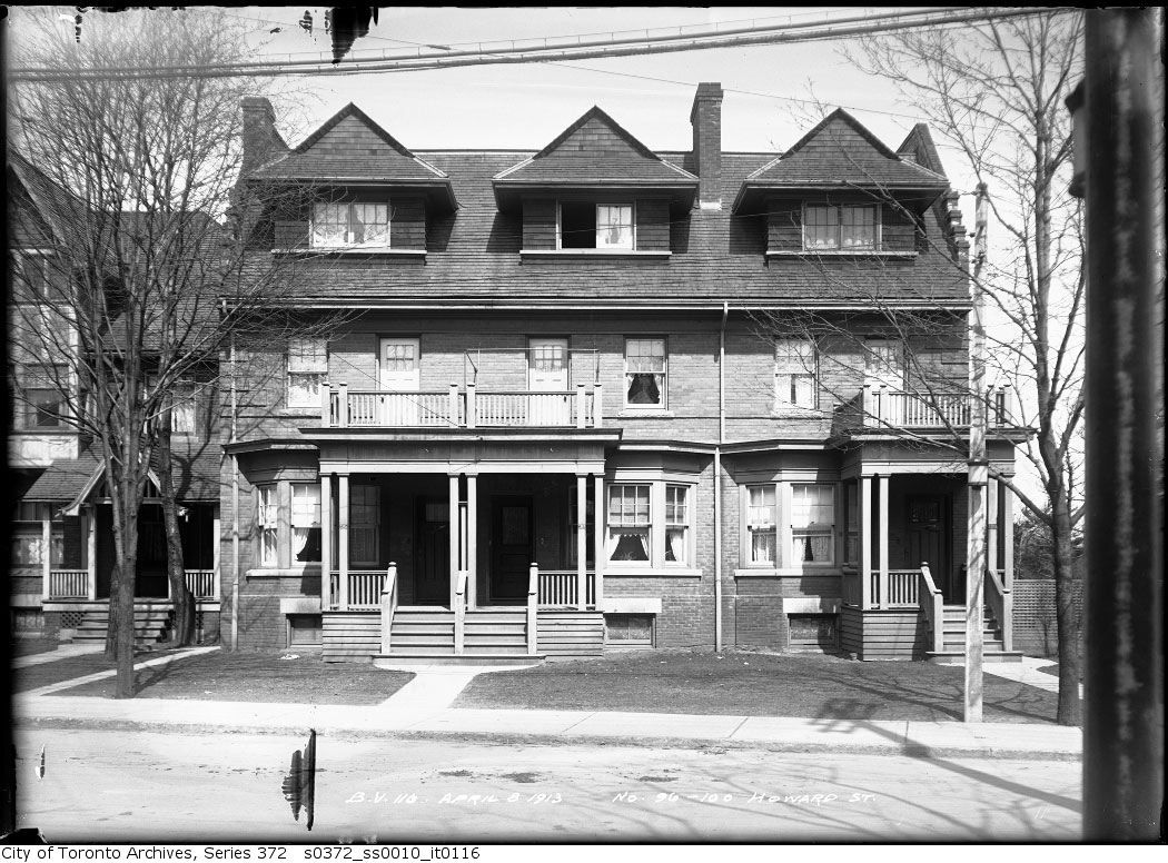
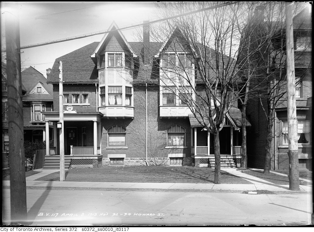
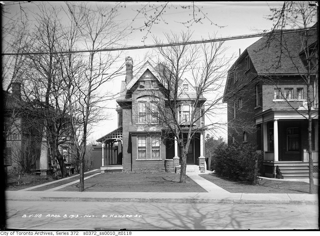
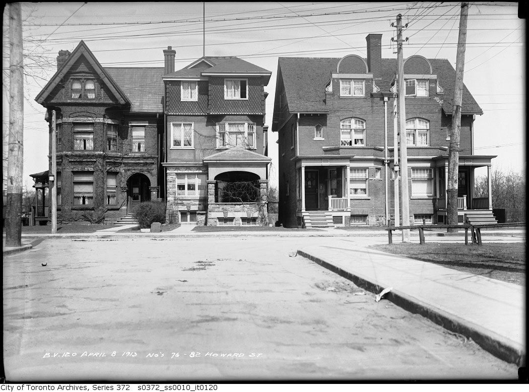
The balance of the houses on the north side of Howard existed until at least the 1970's, of which only #76 now remains:

96-100 Howard:
howard96-100.jpg


92-94 Howard:
howard92-94.jpg


90 Howard:
howard90.jpg


76-82 Howard (note 76 as the sole survivor):
howard76-82.jpg


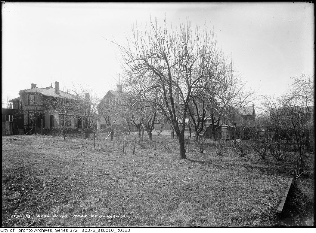
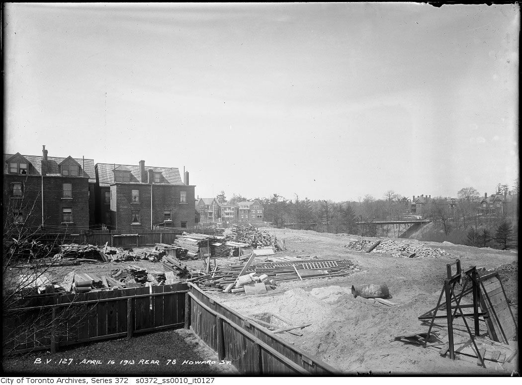
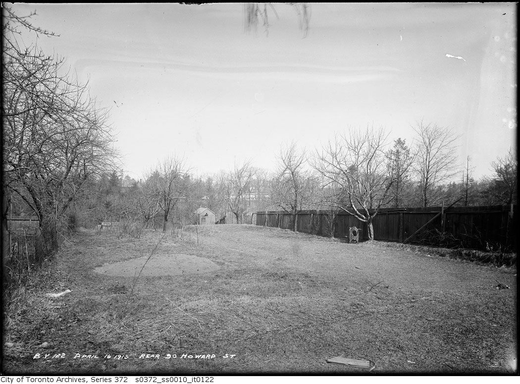
The rears of these houses extended to the ravine:
90 Howard:
howardrear90.jpg


78 rear (Glen Road bridge in the distance):
howardrear78.jpg


howardrear.jpg


1917:
howard1917.jpg


1918 Plan:
dec1918.jpg


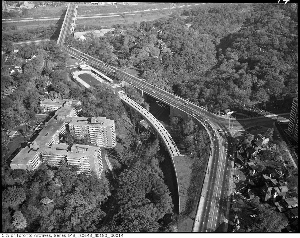
Like Anna's photo above, these mid-60's pic show the block:
s0648_fl0180_id0028.jpg


s0648_fl0180_id0014.jpg


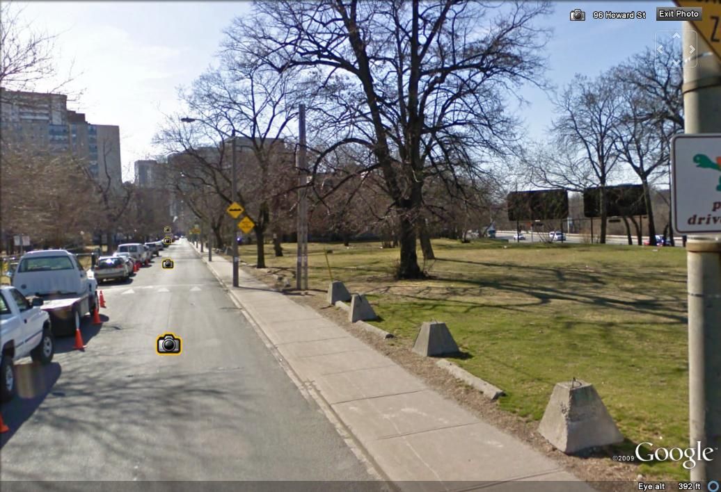
Howard Street today, near the site of #100:
howard.jpg


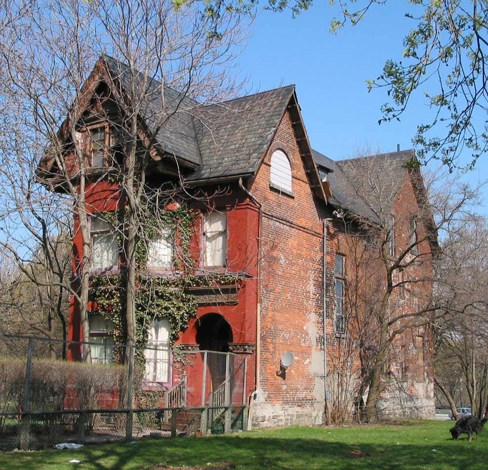
76 Howard today:
76Howard.jpg
 
Last edited:
Charioteer, thanks for a very interesting photo essay of a street I know well. Between the extension of Bloor and the construction of St. Jamestown 50 years later, Howard never stood a chance. And it looks like the current real estate boom is passing it by as well.

There are still a few pathways to no-longer-existent houses in those open fields.
 
That Toronto Hydro right of way / collection of streets or whatever it is that runs parallel to the Danny just to the north of it stands out quite clearly, too.

Wasn't that the recently-covered cut-and-cover of the Danforth subway?
 
Anna: What a great picture! It's interesting seeing the block bounded by Bloor, Parliament, Howard and Sherbourne largely intact. I know that there have been some previous threads about this block (particularly focused on the boarded up Glen Road properties), but I'd like to post a few pictures that trace the decline of Howard Street starting with the construction of the Bloor Street Viaduct...Like Anna's photo above, these mid-60's pic show the block:
s0648_fl0180_id0028.jpg

I also found this photo, looking south, which refers to 'No. 11 Fire Station, Rose Ave. (?) B. 1888, torn down when east-west subway built' which can also be seen in the aerial photo, soon to be torn down.
s0372_ss0010_it3026.jpg
 
Wasn't that the recently-covered cut-and-cover of the Danforth subway?

s0648_fl0180_id0031.jpg


Yes, Anna. I too was puzzled when I saw that white line resembling a street slightly to the north of Danforth.
Then I suddenly recalled: that's where the subway line was built.
Much of that path, it seems to me, is now a long line of parking lots above the subway.
 
I also found this photo, looking south, which refers to 'No. 11 Fire Station, Rose Ave. (?) B. 1888, torn down when east-west subway built' which can also be seen in the aerial photo, soon to be torn down.
s0372_ss0010_it3026.jpg

A great picture obviously mislabelled as it's clear that the demolition of the firehall, on the southwest corner of Howard and Rose, occured becuase of St. James Town, not the subway.

1910-3.jpg
 

And I wonder how 76 Howard still stands; why wasn't it expropriated with all it's neighbours.


July 11 addition.


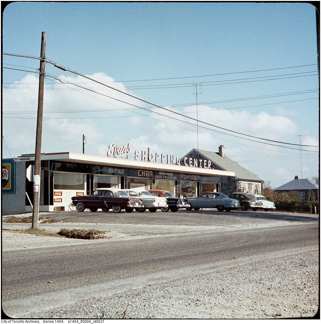
Then. Evans Avenue Shopping Centre. [1955-ish? - my guess] NE corner of Evans and Bestobell Road in Etobicoke. I beleive it was thedeepend that identified the location last summer sometime.


s1464_fl0004_id0021.jpg


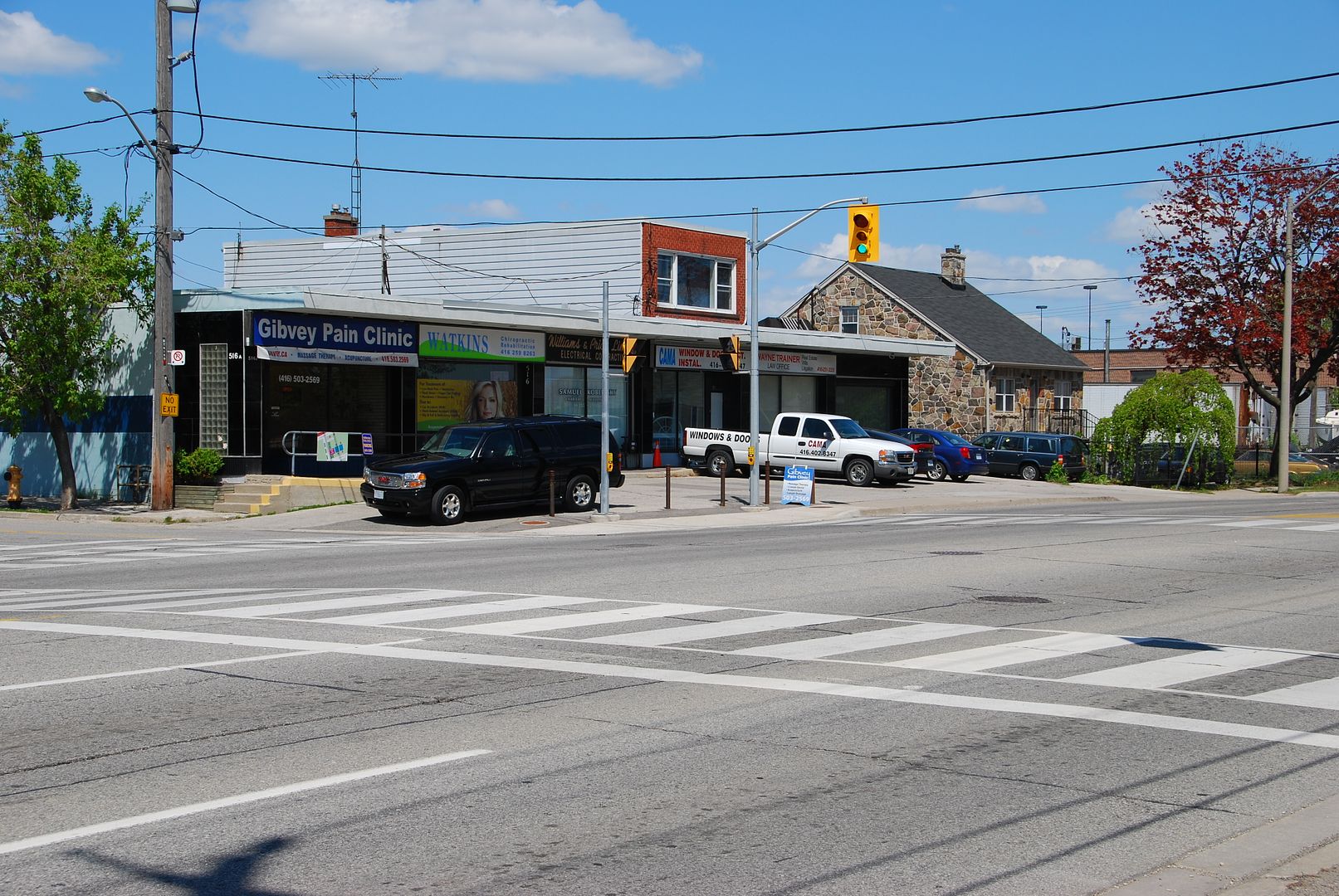
I managed to be running errands nearby and had the opportunity to take a Now photo in May.


DSC_0241.jpg
 
I'm not sure if it is a private road. Looking at TO Maps, it still looks public with the houses having municipal addresses.
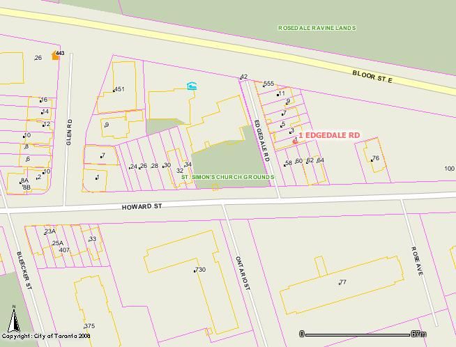
I am not sure if you can say that a road marked on the City Map site is necessarily public. As far as I know, Percy Street (off KIng Street just east of Sumach) is a private street but looks 'regular" on these online maps.
 
I'm not sure if it is a private road. Looking at TO Maps, it still looks public with the houses having municipal addresses.
edgedale.jpg

But the street is enclosed by a fuschia property line just like the houses (and Ontario St) unlike Howard, Glen, and Bleecker.

Eden Smith was the architect for 1-9 Edgedale Road and all are listed heritage properties.
 

Back
Top