the_yellow_dart
New Member
Where are you guys getting these 1910 maps?
I wonder what the story on that empty lot is. I've often wondered about it when in the area. Someone has to be paying taxes on it and they've been paying them for 70 years. Unless it's owned by the city.
Where are you guys getting these 1910 maps?
I checked the Land Registry Office and interestingly enough, the empty lot and the building to it's right (now the TD Bank) are one parcel of land. So at some point the lots merged (or were never legally severed)
The City's official Map site shows street numbers and building outlines at http://map.toronto.ca/imapit/iMapIt.jsp You need to check off the boxes on right to get this info and magnify quite a bit.Are we able to access the Land Registry Office information online? If so, what's the address?
Does this work? You'll need to click on 'show arrangement structure' to get the full list.
http://collectionscanada.gc.ca/ourl...7&rfr_id=info:sid/collectionscanada.gc.ca:pam
The City's official Map site shows street numbers and building outlines at http://map.toronto.ca/imapit/iMapIt.jsp You need to check off the boxes on right to get this info and magnify quite a bit.
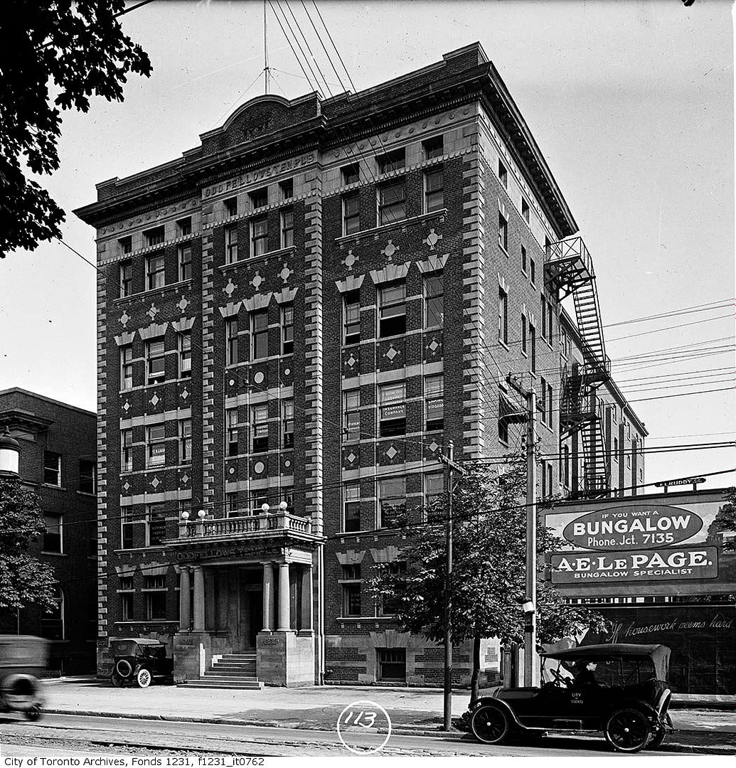
Here's an interesting site - One Hundred Glimpses of Toronto - Queen City reproduced. You can flip through the pages, or they turn themselves. I've stopped it on the page that shows the club:
http://www.archive.org/stream/onehundredglimps00torouoft#page/36/mode/2up
Hey, Great post- I love the photos. I'm an independent filmmaker in Toronto and me and my friends just shot this video at Yonge and Dundas Square for a video contest. I'm not originally from Toronto so to me, it feels like shooting at Times Square- so big and bright and awesome!
Please check it out- it's kind of cool- Doritos rain down on Dundas Square from the top of a 40 story office tower! CityTV news anchor reports on the chaos. Amazing shots of the Toronto landmark at night.
http://bit.ly/aSavEs
Thanks!


Thanks, DSC, but I'm particularly interested in the Land Registry Office because I believe it has complete property records - including name of owner and $ amount of each sale. It would be interesting to study such information.
My understanding is that this info (online) is available only to real estate lawyers.
I think it's available to everyone but only by visiting the LR Offices.
And thanks to Anna for that lead to the maps at the National Archives.
I was able to study the landscape of my birthplace (1910 map of East York) before the homes were built.
Interesting that Donlands Ave. was named Leslie St. before housing developments arrived.


