
thecharioteer
Senior Member
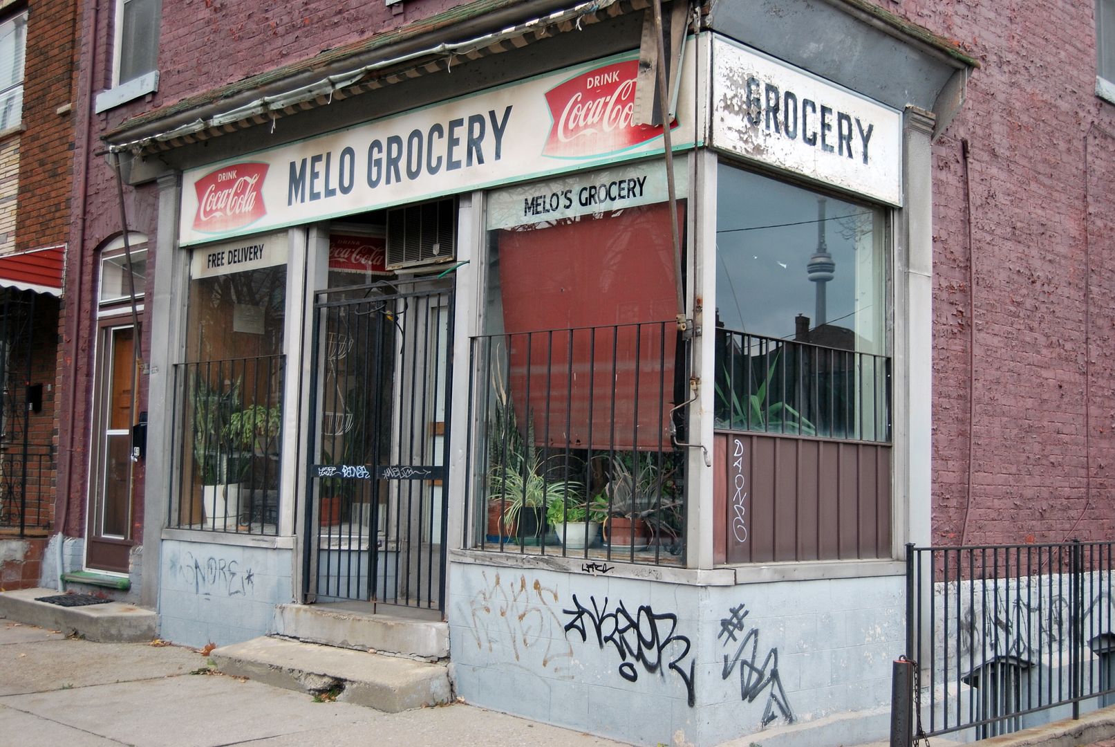
I love the way the City article refers to The Ward as Toronto's pre-eminent "foreign" quarter. Hmmmmm.....
|
|
|
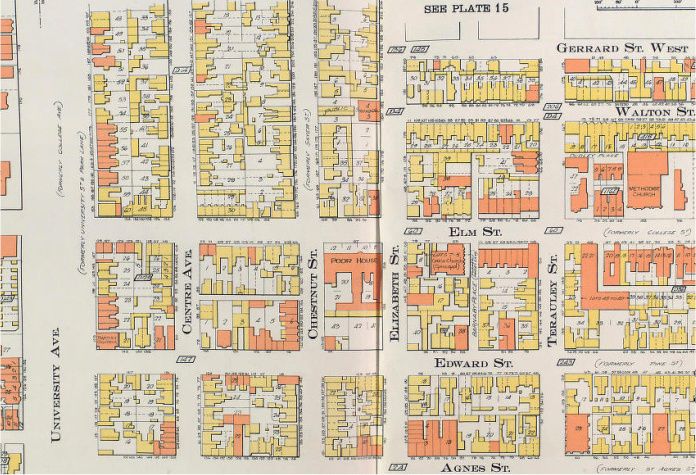
Mustapha: I just realized that perhaps the reason I'm finding it hard to orient myself with regards to the playground, is because of the fact that in 1910, Gerrard Street had not yet been extended to University. The playground was probably built afterwards.

The 'Lizzies' were quite the basketball players
Elizabeth Street Playground Juvenile Basketball — Playground, City and Canadian Champions - 1930

Elizabeth Street Playground Juveniles — Playground, T & D, Ontario and Dominion Basketball Champions 1943-44
- some of these guys are probably still around

Looking at the background of these photos to try to get a clue as to where they were taken if they were indeed even taken in the Elizabeth street playground. arrhhg. Time to step outside for a cigar.
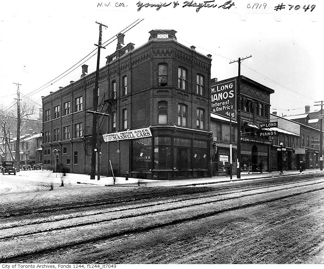
"The Maxwell Car" dealer ------ Didn't Jack Benny own a Maxwell?
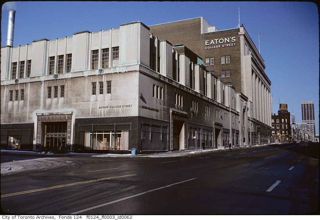
[Later] Then c1970? - my own guess. For you out of towners that peruse these pictures; the modern view is basically unchanged; Eatons is no longer in business for one thing.


More sleuthing on this picture:
I will guess that there was a Taxi stand near the southern most Yonge Street entrance. It would appear that 40 years of idling cabs have left their tell tale mark on the stone facade. Note how the blackness lessens as you go farther north. That would be from the cabs farther back in the line turning their engines off, because it would be a longer while before they got a fare. The same pattern can be seen at the north entrances as well where I guess there was also a Taxi stand.
Union Station and the Royal York Hotel have this same pattern but exacerbated by the many years of coal locomotives magnifying the effect. Just an observation of mine and I am not certain, to be sure.
I've been meaning to try and get a modern version of this shot for a while. I think I came pretty close on the weekend although I don't think I was at the right spot on the Gardner.
I think this photo is great, it looks like something out of lord of the rings to me. This giant featureless concrete spire towering over the landscape.
Here's is the modern version: