News   Jul 15, 2024
 260     0 
News   Jul 15, 2024
 523     0 
News   Jul 15, 2024
 625     1 

Miscellany Toronto Photographs: Then and Now

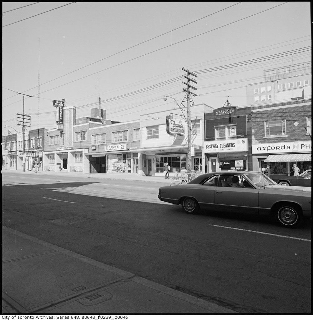
the gas stations disappeared (esso and BP),

BA, not BP.
http://www.britishamericanoil.ca/

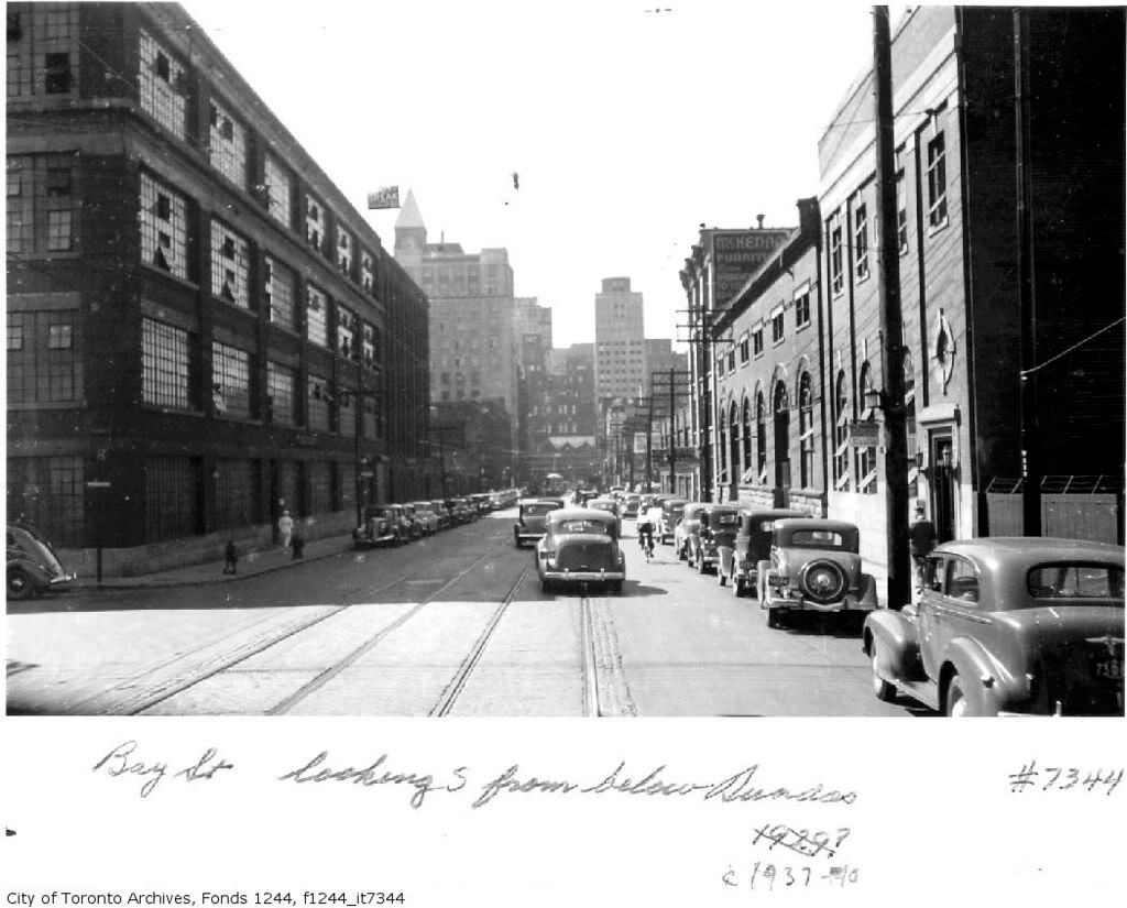
Love this photo of the fuel truck headed for the station

fo1567_ser648_s0648_fl0239_id0081.jpg


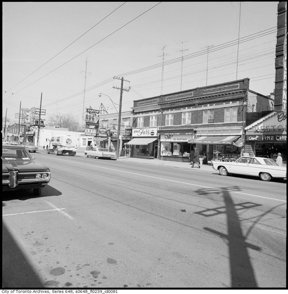
You can date the photos by the fact that BA "modernized" its logo in 1967, before being rebranded Gulf in 1969.
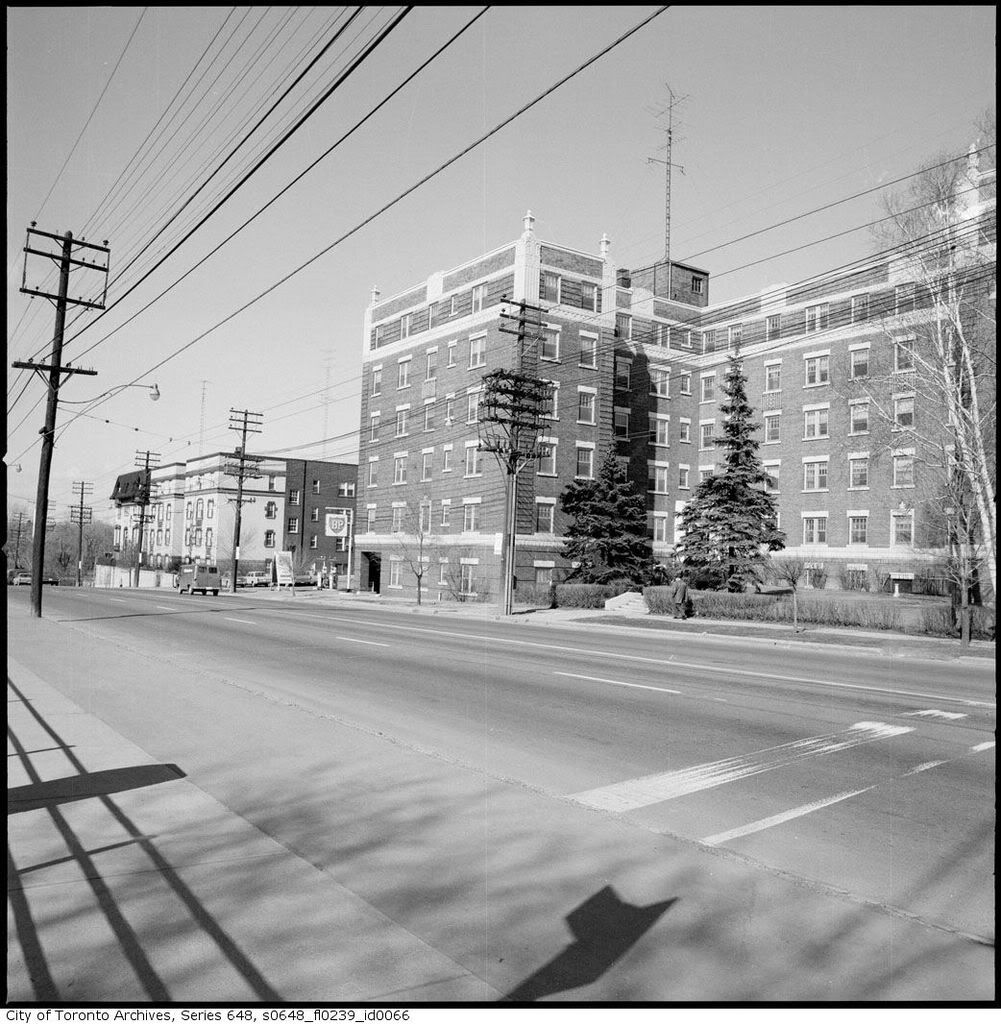
 
Jan 13 addition

From:
http://www.lostrivers.ca/MoorePkRavR.htm

"Proceed down the steep path into the Moore Park Ravine. As the path begins to level out, note a wider part of level ground on the west side of the trail. This is the site of the former Moore Park Station on the Beltline."

fo1244_f1244_it1109-1.jpg


I was here last summer but the leaves on shrubs and trees presented an imprenetrable barrier.

DSCF0054-1.jpg
 
I've seen that "then" picture before. Very hard to believe now there was once a substantial station on that trail.

From the condition of the platform, it looks like that photo was taken well after the Belt Line went bust.
 
From the condition of the platform, it looks like that photo was taken well after the Belt Line went bust.


add in the plants overgrowning on the tracks and that fence at the end of the platform.
 
add in the plants overgrowning on the tracks and that fence at the end of the platform.

That fence. It's almost like someone was living there, and didn't want people riding a horse through their yard. The old railbed was already a walking path - as you can see by the trodden dirt path.
 
One other thing from that Yonge series that's astonishing to consider from a present-day perspective: that there was an actual *funeral home* on the NE-corner-of-Eglinton blockfront
fo1567_ser648_s0648_fl0239_id0046.jpg
 
One other thing from that Yonge series that's astonishing to consider from a present-day perspective: that there was an actual *funeral home* on the NE-corner-of-Eglinton blockfront
fo1567_ser648_s0648_fl0239_id0046.jpg

After the funeral home decamped; it was a Steak n Burger restaurant for a time.
 
Last edited:
Bay Street looked better back then. Or at least the east side.

That's Alice Street on the east side - you can just see it there - it was closed and built over by Eaton factories and then in turn by the Eaton Centre. A search in the Toronto online archives for Alice reveals some row houses and a charming school. This whole area bound by Albert, Bay, Dundas and Yonge had had a gritty industrial grimness to it, especially at night.
 

Back
Top