thecharioteer
Senior Member
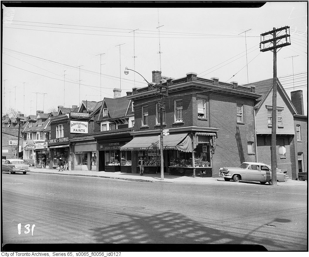
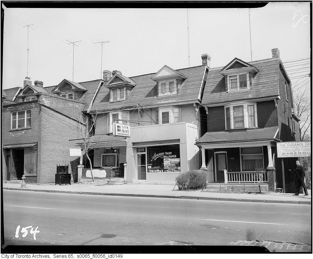
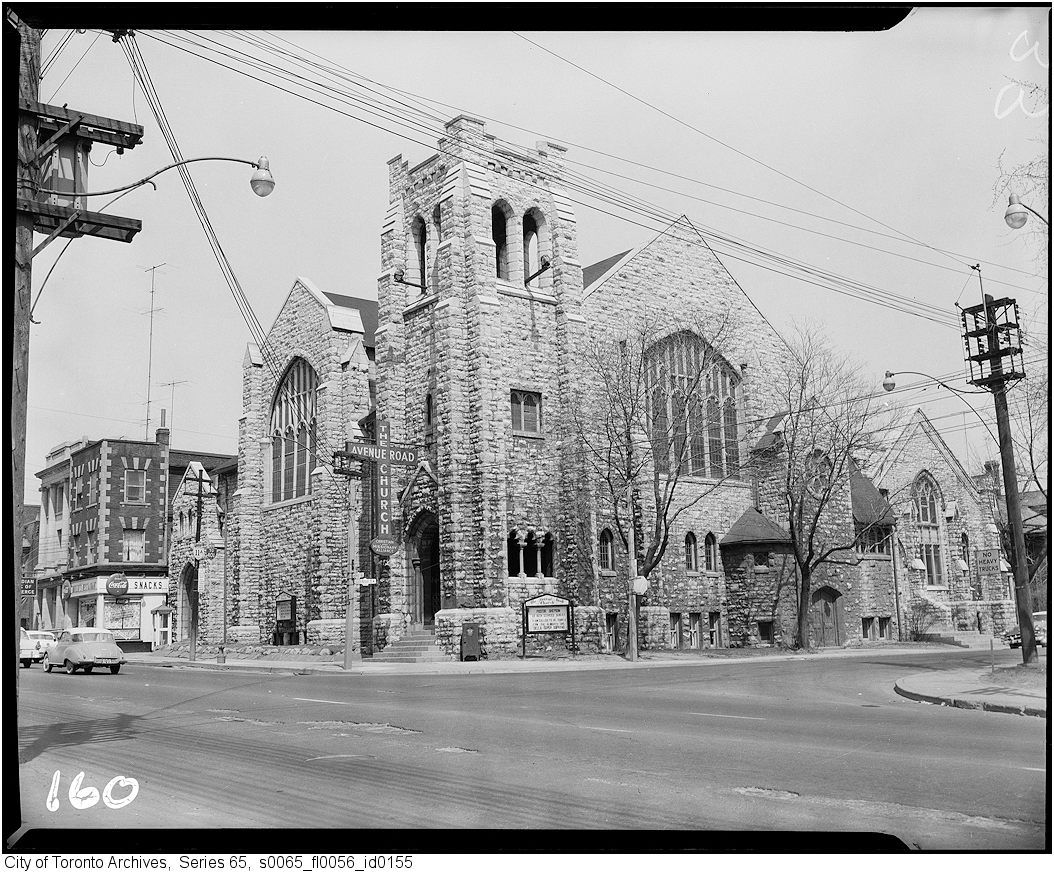
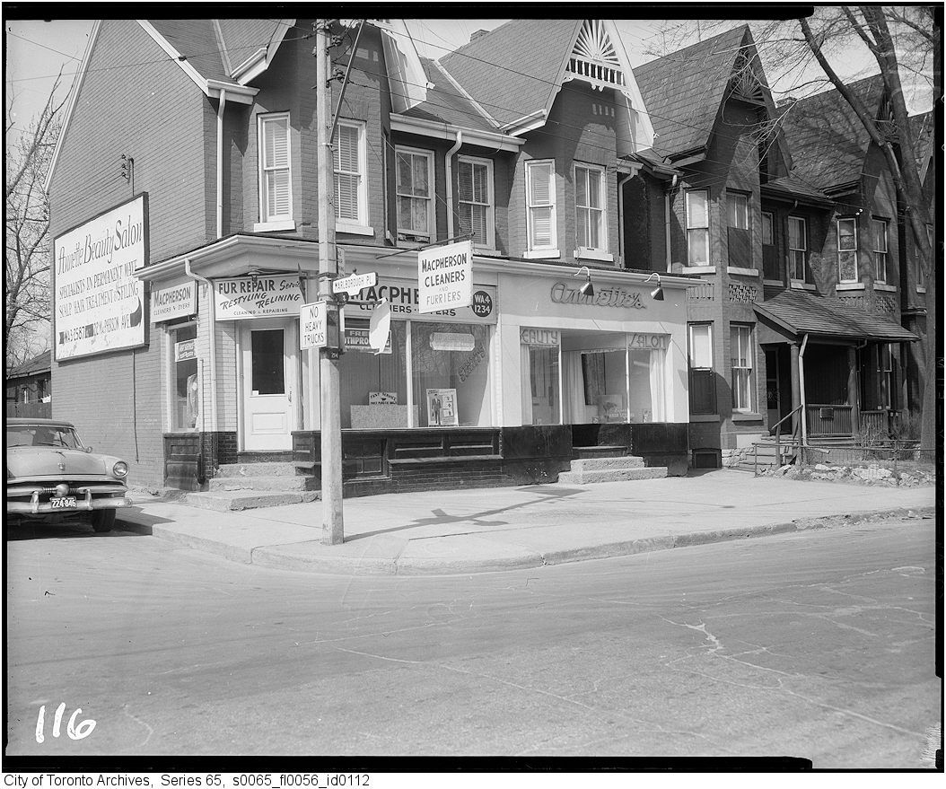
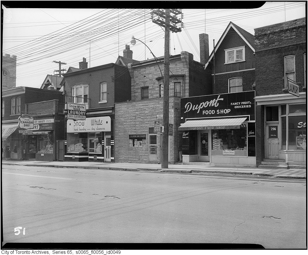
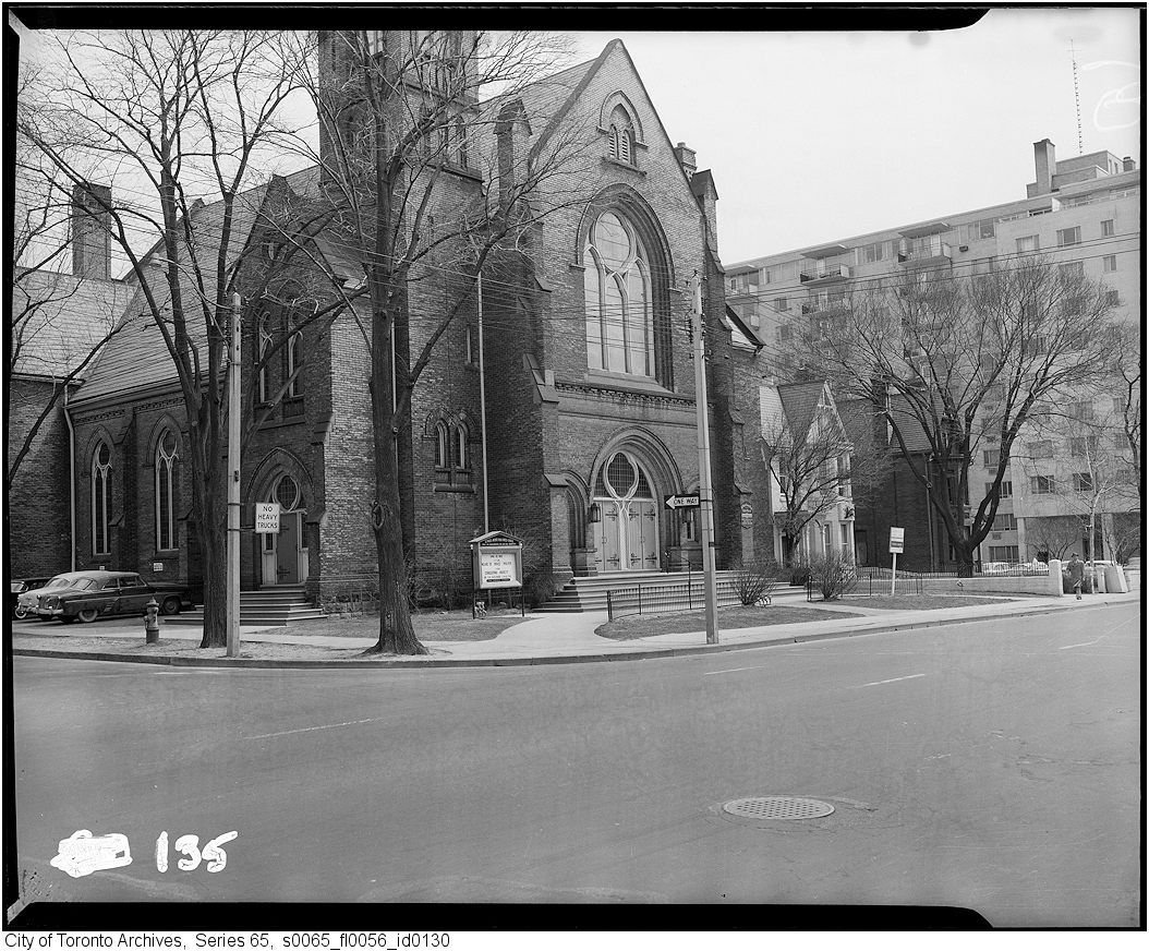
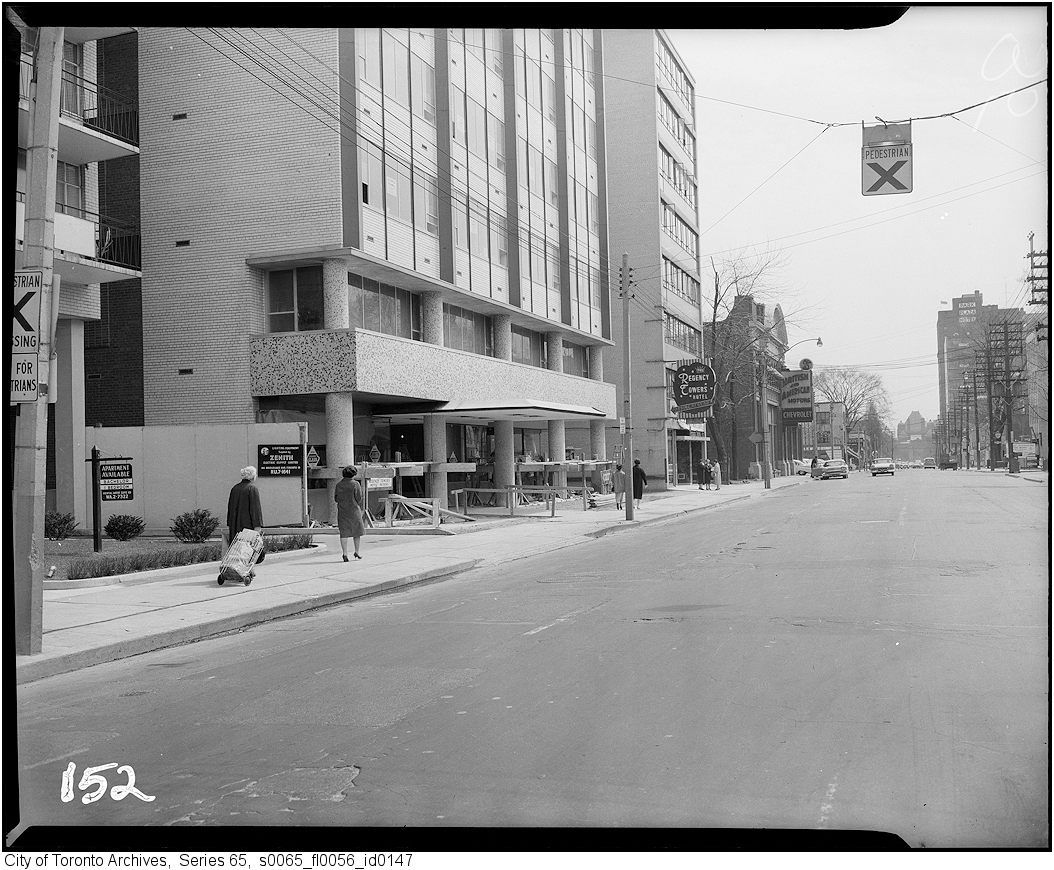
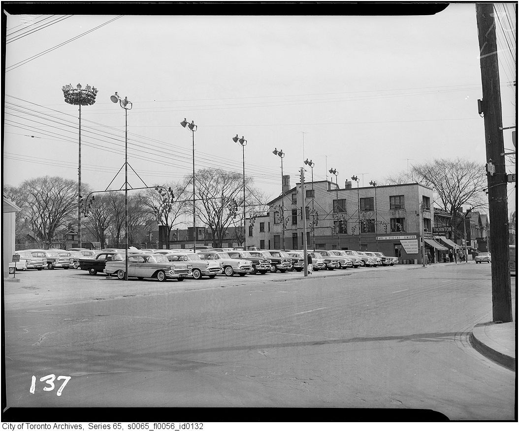
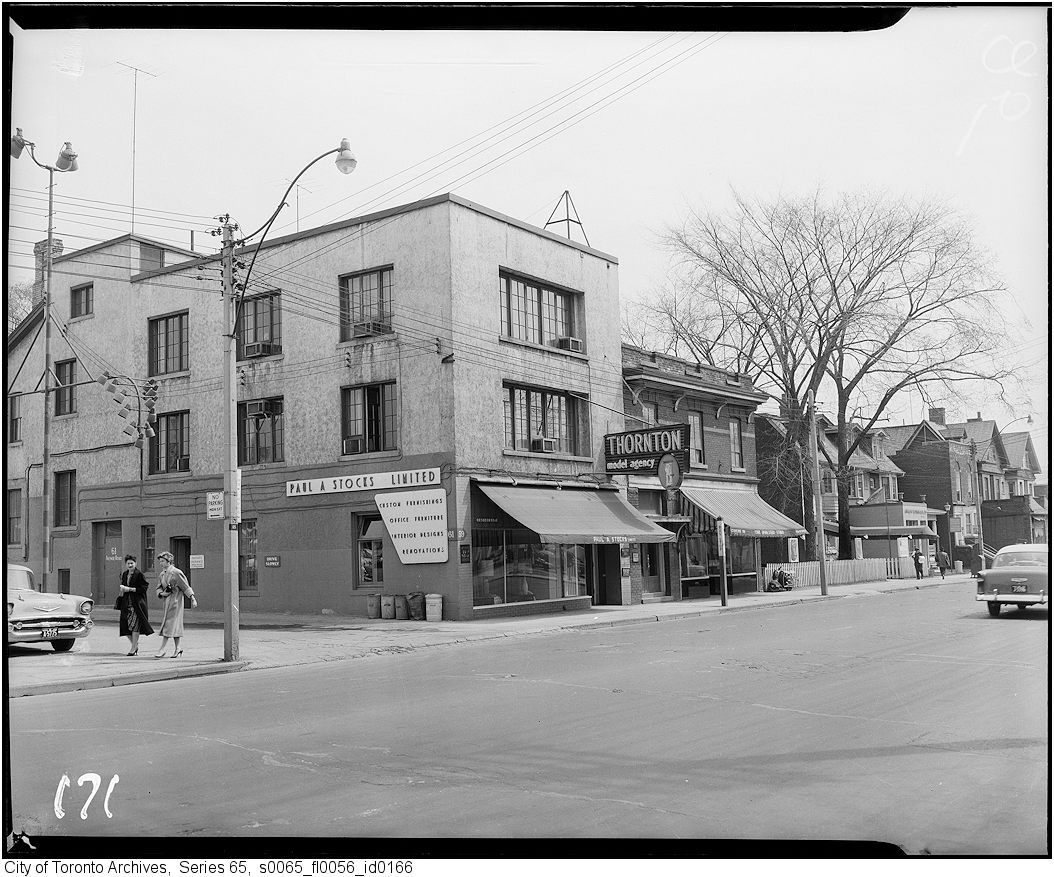
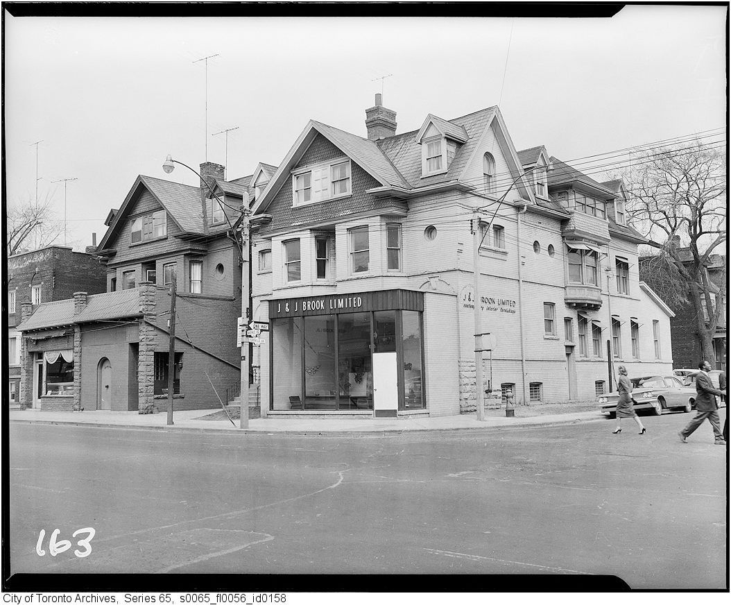
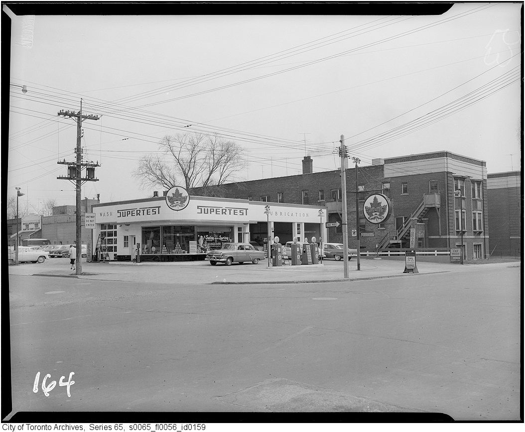
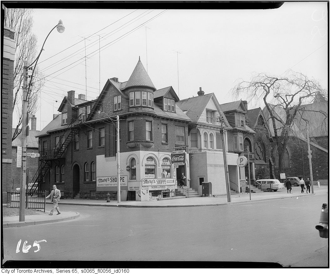
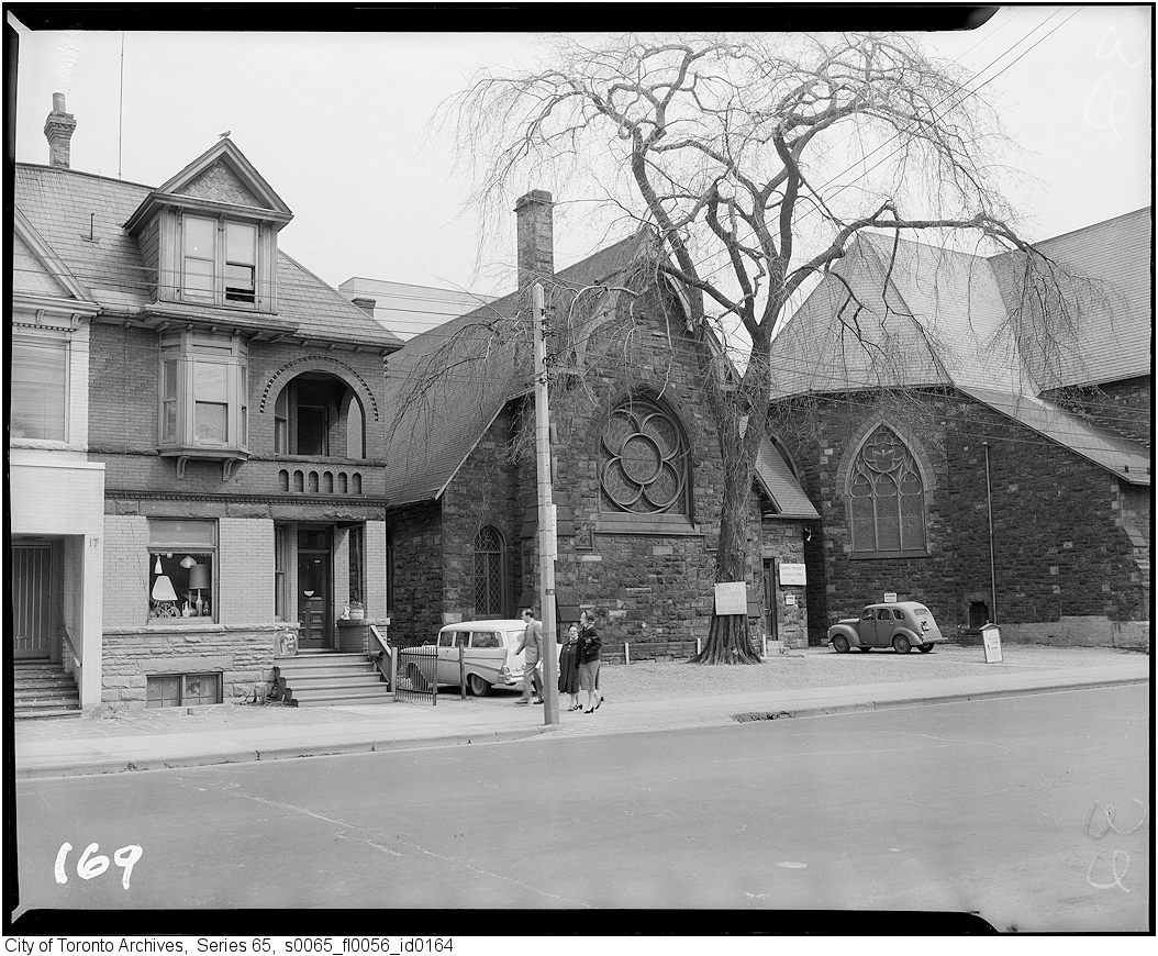
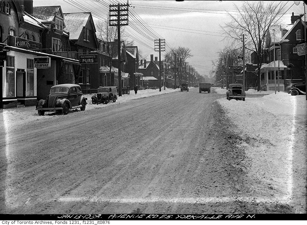
Three older pics of Avenue Rd. (Goldie: It looks like your studio is there in the first and third pics):
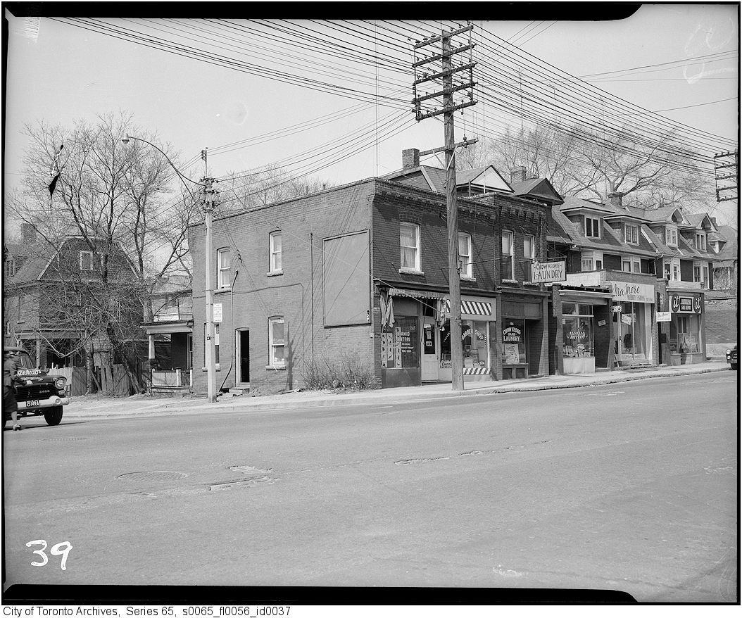
1928:
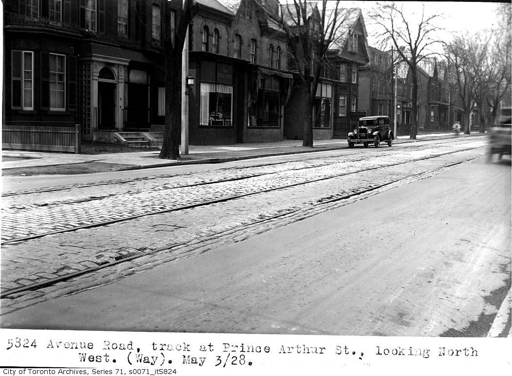
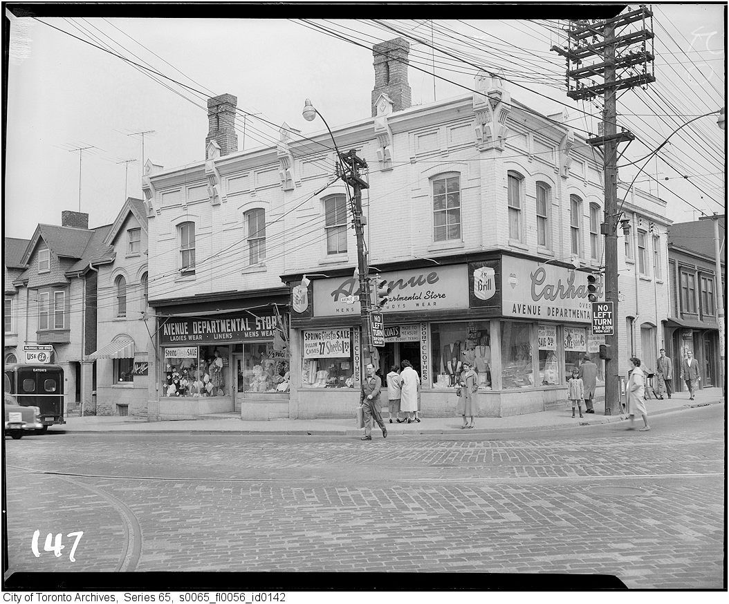
1933 (at Lowther):
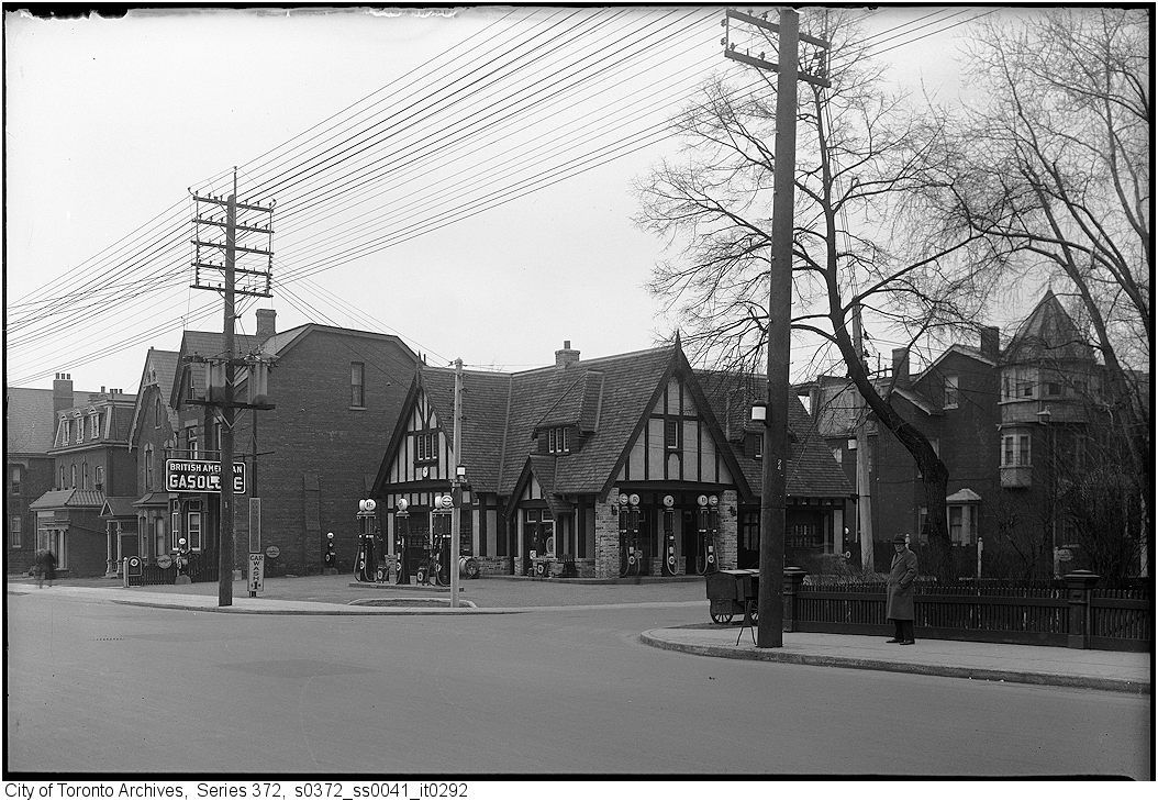
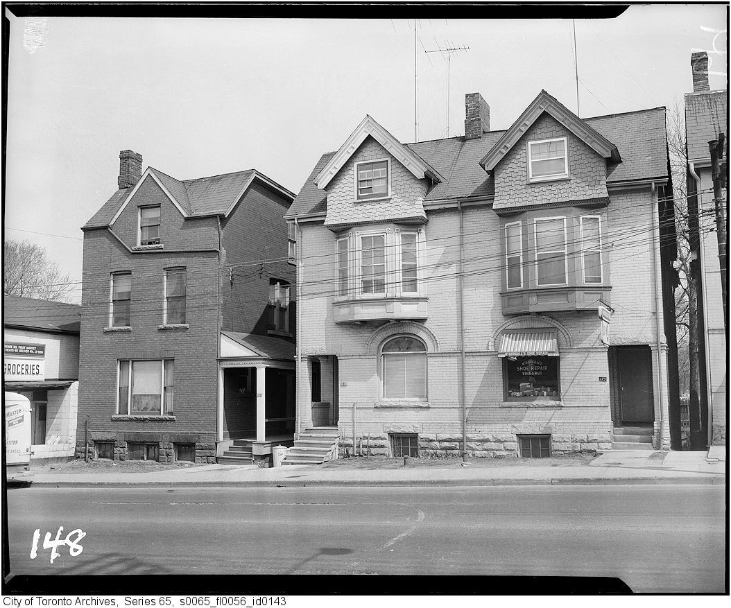
1938:
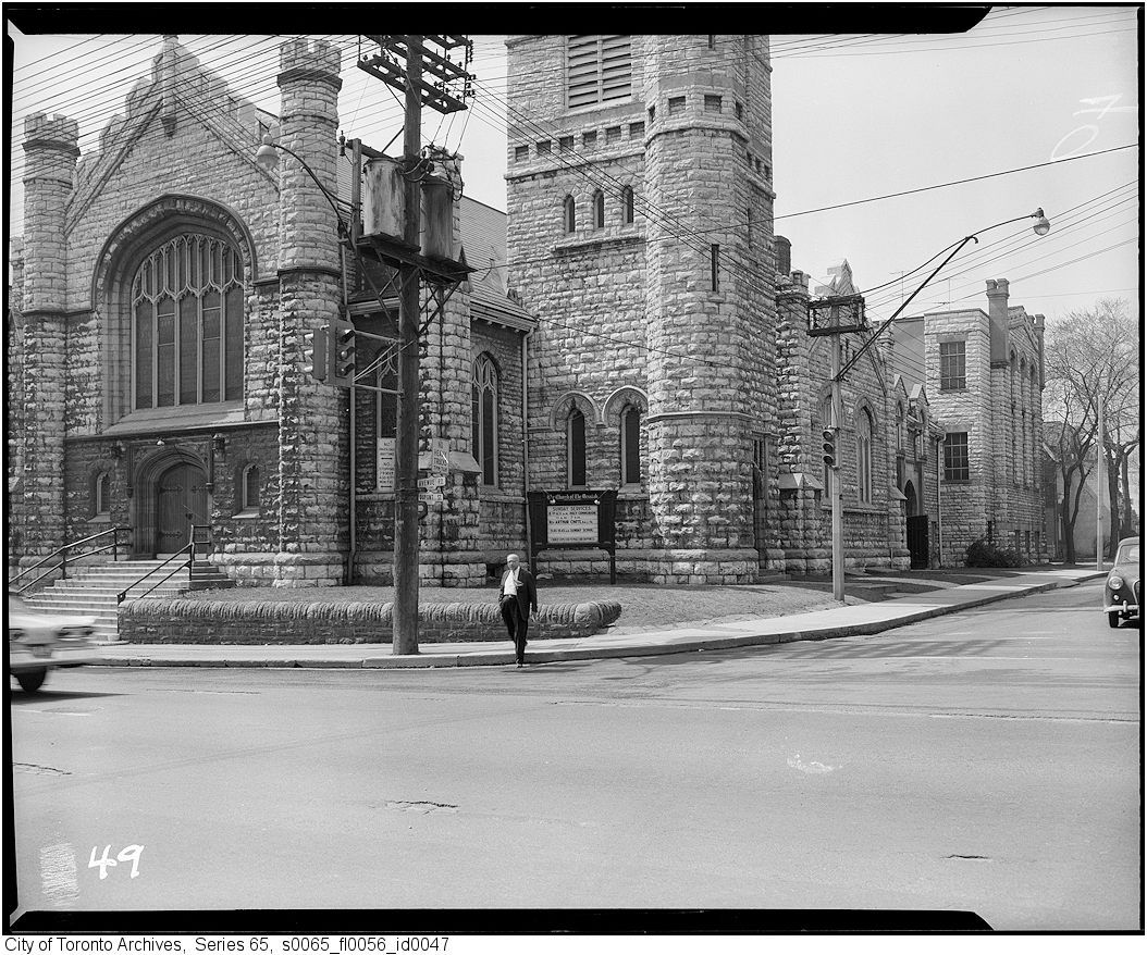
1928:
1933 (at Lowther):
1938:
Last edited: