News   Jul 15, 2024
 350     1 
News   Jul 15, 2024
 515     0 
News   Jul 15, 2024
 556     0 

Evocative Images of Lost Toronto

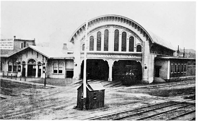
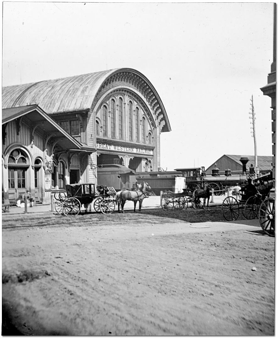
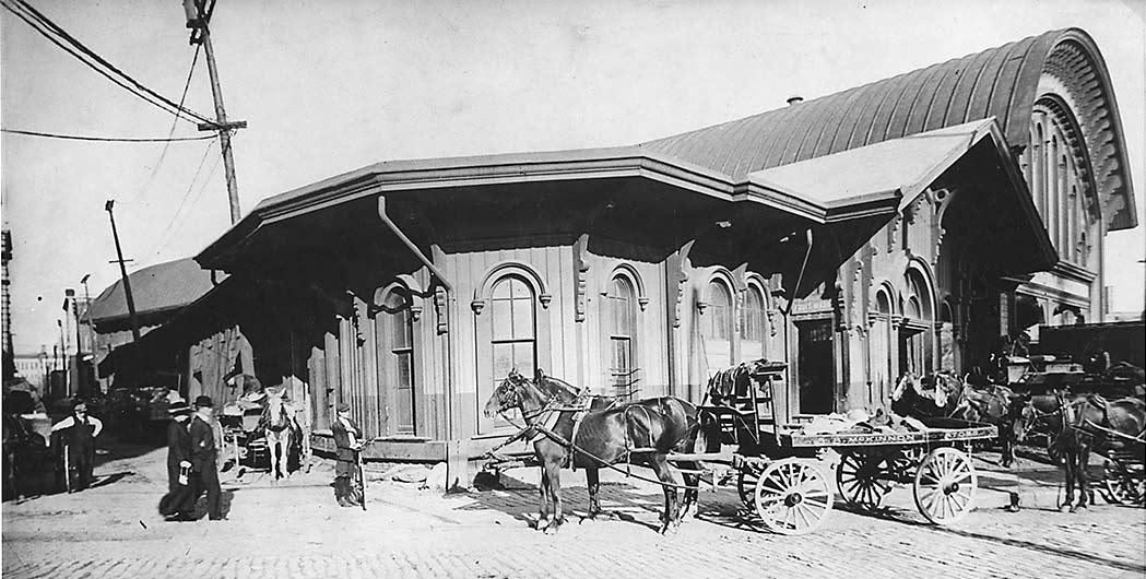
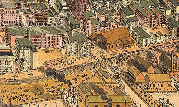
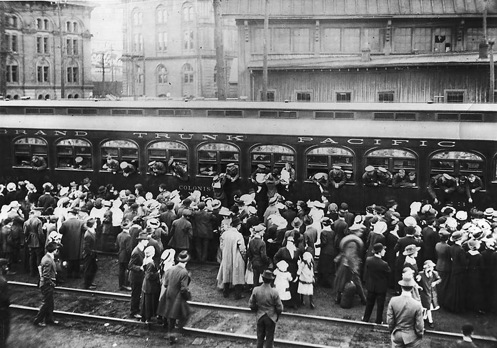
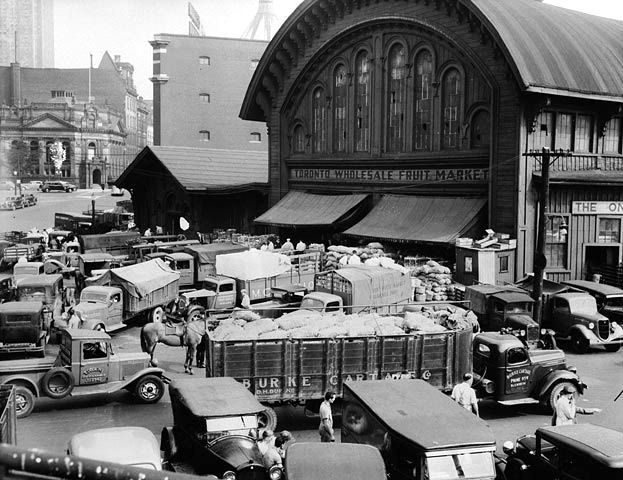
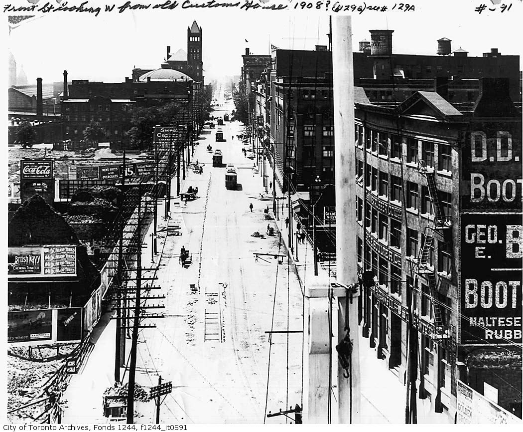
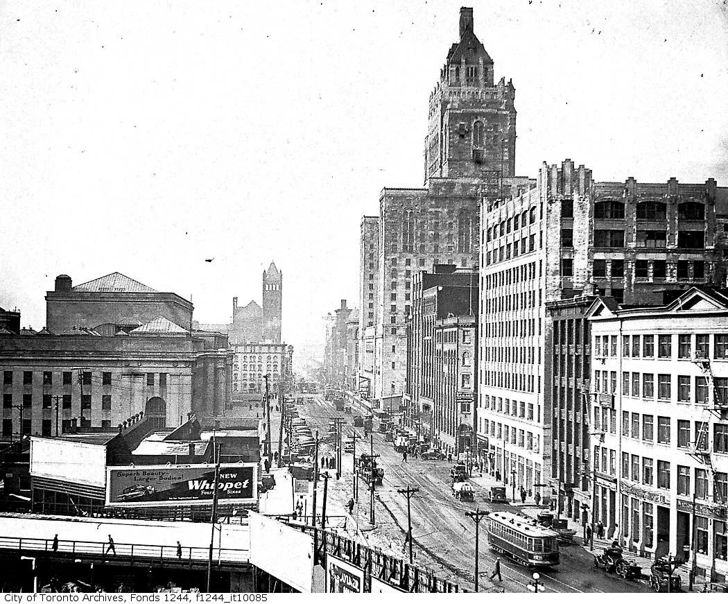
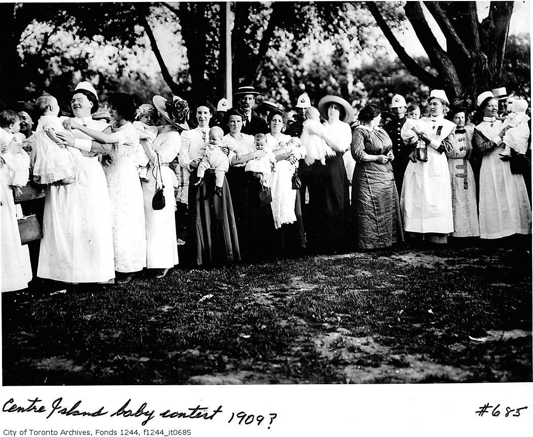
Here are some photos from 2 years after the Great Toronto Fire of April 19th, 1904
f1244_it0004b.jpg

Note that the piece found in the 2nd photo is probably the 3rd piece from the left in the 3rd photo. I assume that is University College on the plate?

thank you for contributing those! i especially like the detail shots of the ironstone and china.

"Ironstone is used as a component in some ceramics, commonly known as "ironstone china". Josiah Wedgwood also manufactured a "stoneware" china in the 19th century. It was commonly used for heavy-duty dinner services in the 19th century. Charles James Mason (son of the potter Miles Mason) took out a patent for "Mason's Ironstone China" in 1813."

good eye on the hand painted UC image on the maple leaf plate. i know Urban Shocker isn't fond of Victorian tchotchkes, but i'd happily give them a home! those miniature ceramic boots are still uh "kicking around", you see them at the Sally Ann on occasion....

1c799d18.jpg
 
Your pics of the Toronto Wholesale Fruit Market (NE corner of Yonge and The Esplanade) show a decaying building with broken windows. However, in the 1850's it was the gleaming new Great Western Railway Station (a line which later merged with the Grand Trunk Railway). The building remained a presence near the waterfront for nearly a century until destroyed by fire in the 1950's:

1862:
GWR_Toronto1862-1.jpg


1867:
21822_train_station_1020-1.jpg


Grand_Trunk_Rail_Station-1.jpg


1910:
Toronto_1910_Atlas_Volume_1_Plat-4.jpg


6EPZXHCAQ6FOKUCA5I7OY5CAGVF66LCA-1.jpg


The old station behind troops departing for WWI:
Crowds_as_soldiers_leave_Union_S-1.jpg


Toronto_Wholesale_Fruit_Market2C-1.jpg
 
Last edited:
I was looking for something else today when I stumbled on this:

"An Historical sketch of the Toronto Young Men's Christian Association -- (1913)"

http://www.archive.org/stream/historicalsketch00younuoft#page/n1/mode/2up

There's a photo of the Broadview branch on page 13. 100% zoom provides the best image to extract, but I pulled the attached image from 50% zoom.
 

Attachments

  • 1913ymca.jpg
    1913ymca.jpg
    43.4 KB · Views: 323
I was looking for something else today when I stumbled on this:

"An Historical sketch of the Toronto Young Men's Christian Association -- (1913)"

http://www.archive.org/stream/historicalsketch00younuoft#page/n1/mode/2up

There's a photo of the Broadview branch on page 13. 100% zoom provides the best image to extract, but I pulled the attached image from 50% zoom.


95f5f2b5.png


thank you for adding that! i've never seen an image of the Broadview YMCA. you can see the semi-circular glass enclosure for the swimming pool room on the right....
 
cdbeb585.gif

141fb052.gif


There are very few corners in the heart of downtown more ‘blah’ than Front St. and Simcoe St. Once though this was a bustling and busy part of the growing city, as commercial and industrial activity expanded west of Yonge St. It appears that the corner formed the southwest edge of the city, and with the demolition of Government House (on the sw corner) in 1912, it marked the beginning of the expansion of railway lands and shipping yards that expanded along the western lakefront.

7156d41d.jpg


From the Wiki: "In 1868, construction began on a new Government House, designed in the Second Empire style. A three-storey red brick home, trimmed with Ohio cut stone, the building featured a tower, steeply sloped mansard roofs and dormer windows, with the main entrance and carriage porch facing Simcoe Street. Both the drawing room on the first floor and the state bedroom on the second floor faced Lake Ontario over a large landscaped garden. By the 20th century, the development of railways and industrial uses nearby prompted the provincial government to seek a more appropriate location for its vice-regal residence, as it had done more than a century before. The third Government House was torn down in 1912 and the land was sold to the Canadian Pacific Railway."


s0071_it5683.jpg


s0071_it5687.jpg


s0071_it5693.jpg


s0071_it5701-1.jpg


s0071_it5709.jpg


s0071_it8060.jpg


s0071_it4617.jpg


98e4a6a9.jpg
 
Wait: the Gov't House was at the SW corner of *King* and Simcoe, not Front, wasn't it?

Anyway, love the immigration office at the right side of this photo.
s0071_it5709.jpg
 
Wait: the Gov't House was at the SW corner of *King* and Simcoe, not Front, wasn't it?

Anyway, love the immigration office at the right side of this photo.
s0071_it5709.jpg


you're right! that makes more sense....

"The King and Simcoe Streets intersection was a busy place in the latter part of the 19th century. Government House, the official residence of the Lieutenant Governor of Ontario, was located in the block now occupied by Roy Thomson Hall and Metro Hall and the Parliament Buildings were in the block to the south. Upper Canada College stood on the north west corner. A popular tavern was on the north-east corner. St. Andrews Church, opened in 1876, is still on the fourth corner. The four corners were known as “The Four Nations: Legislation, Education, Damnation and Salvation."

you can see the CP building that replaced it here in left foreground:

f06fcf7e.jpg


here is a shot looking up Simcoe towards King in 1912, the year of its demolition. you can see the grounds surrounding the property on the left.

472410a0.jpg
 
another association with spring was of course the beginning of planting season, and the bounty of Ontario farmlands that followed...

d24b24cb.jpg

That's not the Toronto Islands in the background, is it?
The elevation of the land doesn't match today's view.
Could this photo be elsewhere?
 
"Could this photo be elsewhere?" QUOTE. Goldie.

The United States of America!

Regards,
J T
 
Great photo essay on Front/Simcoe, deepend. It illustrates how crucial certain institutions like railway stations, theatres or even certain stores can be anchoring a neighbourhood and giving it meaning. The loss of the old Union Station created a kind of ubanistic black hole on this section of Front, and its decline soon followed.

I love these two pics of Front from 1908 and 1928 that illustrate the significance of the old Union Station urbanistically:

front1908.jpg


front1928.jpg
 

Back
Top