


chrisw
Active Member
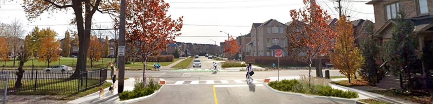
I don't think the route goes along Metro Rd N. It's mainly along Lake Drive. It's a 30km/h shared road, though there's recent plans to also make improvements to it.
|
|
|
I don't think the route goes along Metro Rd N. It's mainly along Lake Drive. It's a 30km/h shared road, though there's recent plans to also make improvements to it.
View attachment 564885
View attachment 564888
I'm not exactly sure how to interpret the plan for East Gwillimbury. York Region is working with the Lake Simcoe Region Conservation Authority (LSRCA) to identify potential route alignment for future trail extensions in East Gwillimbury.
On Road Sections are mainly in the Town of Georgina. A vast majority of that is along Lake Dr which they lowered the speed limit to 30 km/hr. Shared Road signs. There was a Lake Drive Functional Assessment Study done in 2023 to assess options to improve safety without widening.
Lake Drive Functional Assessment https://www.georgina.ca/living-here/roads-and-sidewalks/lake-drive-functional-assessment
Business owners raise concerns over Town’s plan to make Lake Drive one-way https://georginapost.com/2024/01/09...oncerns-over-plan-to-make-lake-drive-one-way/
I don't think the route goes along Metro Rd N. It's mainly along Lake Drive. It's a 30km/h shared road, though there's recent plans to also make improvements to it.
We went biking up the Lower Don Trail today - "they' have clear-cut a section to east of it east/north of Pottery Road . Fixing subsidence from DVP or Enbridge?? Signage says LOWER DON CLOSURE OVERNIGHT FROM MAY 21. Ideas???
Amazing! I think it is the Minton Portal and DVP slope stabilization. ThanksHow far north? The Ontario Line clear cut starts about 1.2km north of Pottery Rd.
Here's the slide deck for the Ontario Line work in the area; which does include stabilization work on the DVP embankment.
If its not that, I'm not sure what it is offhand.
Lots of goodies here for study/design. Dupont, College West, Yonge, 401 crossings at Avenue and Leslie...Now for the next round of Cycling news.
Also on next week's I&E agenda is the 2025-2027 Cycling program. This one is in principle w/projects subject to consultation etc.
View attachment 565521
View attachment 565522
More detail to come.
Am I reading approved for future implementation as being furthest away from constructed? That is, we approved it but we still need to study or design, or is it the other way around and simply lack funding?
Am I reading approved for future implementation as being furthest away from constructed?
But still to be built in the short term? I'm just trying to understand why put items that aren't going to be built in the near term on a map with this title?I wouldn't automatically infer that.
For instance, you can see that this applies to a section of Steeles East which is going to be widened, in the case the high level design is substantially complete, but the project will be delivered when Steeles widened.
But still to be built in the short term? I'm just trying to understand why put items that aren't going to be built in the near term on a map with this title?
 www.toronto.ca