


ShonTron
Moderator
Member Bio
- Joined
- Apr 24, 2007
- Messages
- 13,268
- Reaction score
- 12,022
- Location
- Ward 13 - Toronto Centre
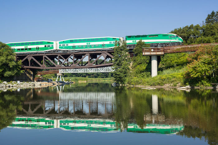
I wrote about how to improve Bramalea a while back. More than anything, it needs safe walking and cycling routes from neighbourhoods not too far away. Given its location in an industrial area, in a secondary flightpath, it isn't right to expect big changes to the area's built form, just like Bronte or Oshawa Stations. But it can be better connected.