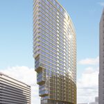
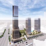
Slightly north of Bloor, a multi-tower community is set to bring further intensification to Etobicoke's Highway 427 corridor. Located between the East Mall and Highway 427, the mostly vacant site at 2 Gibbs Road will be transformed by Edilcan's 1,480-unit residential development supported by retail and commercial office uses. On March 9th, Toronto City Council voted to support the proposed re-zoning of the site, and advance a project first tabled in early 2016.
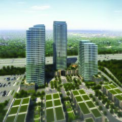
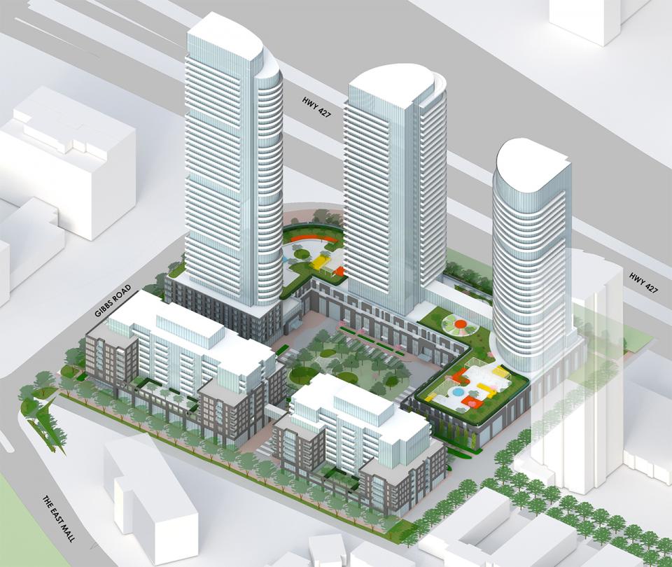 An aerial view (looking southwest) of the project's previous iteration, image via submission to the City of Toronto
Designed by Page + Steele / IBI Group, the phased development—which is neighboured by Edilcan's similarly scaled One Valhalla community—has evolved since the initial 2016 submission. Responding to City Planning input and a Design Review Panel assessment in July, the five-building community has been marginally reduced in scale, while changes to the massing, unit mix, public realm, and vehicle grading, have brought the re-zoning application in alignment with the City's planning priorities.
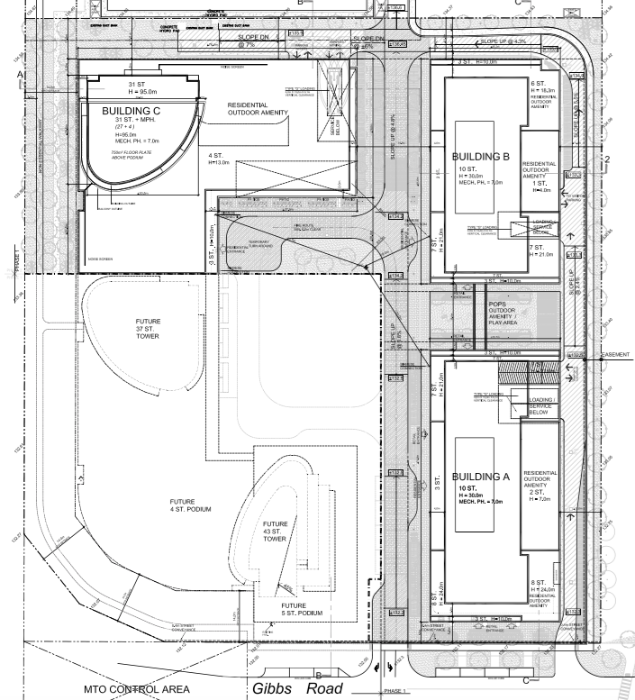 Buildings A,B, and C form Phase One, image via submission to the City of Toronto
Fronted by a pair of 10-storey rental buildings, the shorter residential structures—which feature a combined total of 387 units—would form the project's first phase. Located at the east end of the site, these paired buildings would be neighboured to the west by a trio of condominium towers, the tallest of which has been reduced in height from 46 to 43 storeys. The 43-storey tower would be joined by 37- and 31-storey counterparts, with the shortest of the three high-rises also set to be built as part of Phase One.
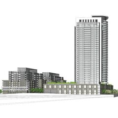
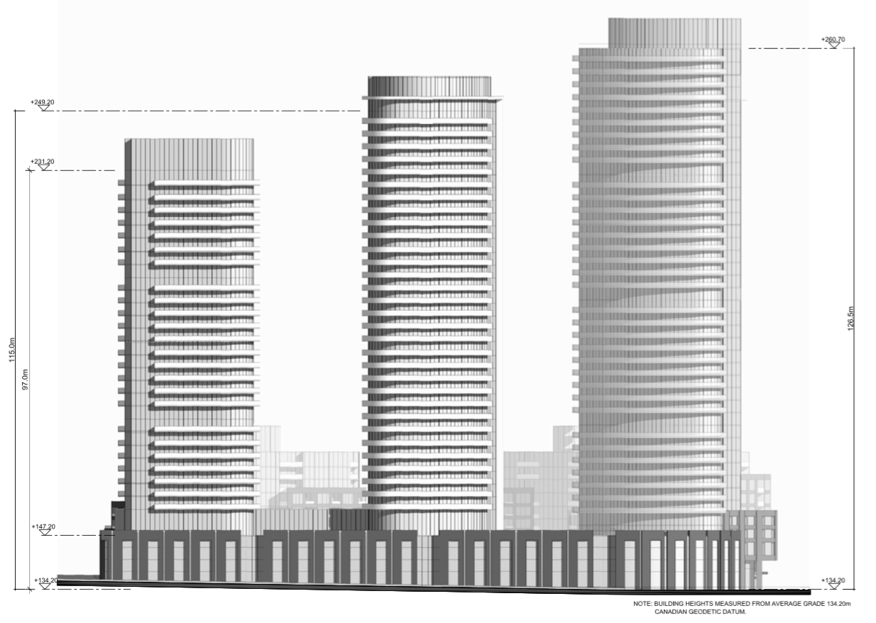 The new west elevation, with the tallest tower (right) reduced to 43 storeys, image via submission to the City of Toronto
While the two taller Phase Two towers would be built at a later date, all three structures will share an expansive podium that backs out onto Highway 427 at the west end of the site. The C-shaped podium will wrap around a 1,500 m² central POPS, while a smaller secondary POPS—programmed as a children's play area—will be located to the east, between the two 10-storey buildings. That space was initially planned as driveway, with the second POPS added as the planning process advanced.
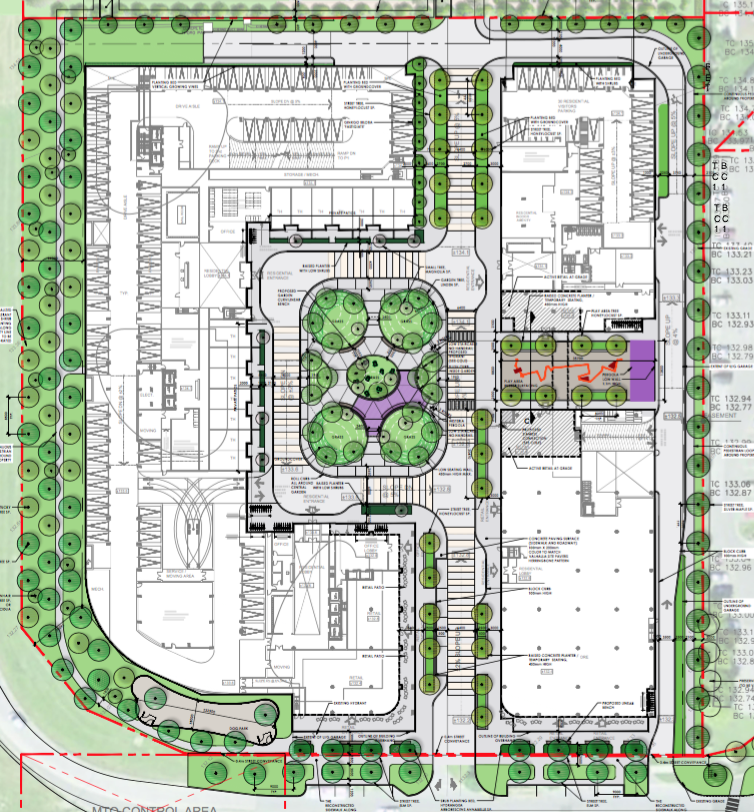 The updated landscape plan, showing both POPS, image via submission to the City of Toronto
In total, the five buildings will contain 1,480 residential units, a very small reduction from the 1,500 initially planned. With the tallest tower slightly shortened, the central podium structure that joins the three high-rises has also been reduced in scale from five to four storeys. Set to house six levels of combined above-ground and underground parking, the podium has been reconfigured to feature four above-ground and two underground levels, instead of the five and one initially planned. The podium is configured so as to limit traffic noise from Highway 427 into the centre of the site.
The mechanical penthouses of all three towers have also been redesigned to mitigate added height, while new set backs and upper-level stepbacks throughout the site now meet the City's 45º angular plane criterion facing the residential neighbourhood to the east.
The project's unit count has also been reconsidered, with the City pushing the developers to provide a greater concentration of larger, more-family-oriented units. While the initial configuration called for 48 bachelor, 1,000 one-bedroom, 362 two-bedroom, and 90 three-bedroom units, the bachelor suites have been entirely removed, with the number of three-bedroom homes rising to 150. Although one-bedroom units continues to dominate the project, the increase in three-bedroom suites now meets the City's planning guidelines, which call for a minimum of 10% of units to feature at least three bedrooms.
As initially planned, however, the community's lower levels will house a limited mix of retail and office space, with much of the 6,800 m² non-residential GFA provisionally earmarked for a large grocery store.
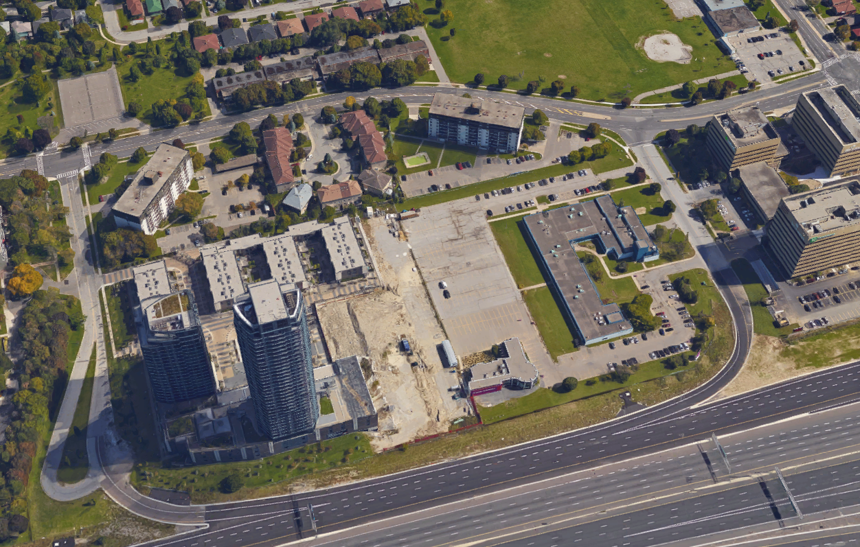 3D aerial view of the site shows a former one-storey building (since demolished) and One Valhalla (left), image via Google Maps
Finally, the overall slope of the site—along the central road—has been reduced from 6% to 5%, with further refinements expected as planing for the project's Second Phase advances. A Site Plan Application (SPA) was submitted for the three Phase One buildings in November of 2016, with more detailed plans for the final two towers to follow.
We will keep you updated as more information becomes available, and the project continues to advance through the planning process. In the meantime, further information is available via our dataBase file, linked below. Want to share your thoughts? Leave a comment on this page, or join the conversation in our Forum.
| Related Companies: | Arcadis, Egis, Schollen & Company, Urban Strategies Inc. |

 2.4K
2.4K 


