


thecharioteer
Senior Member
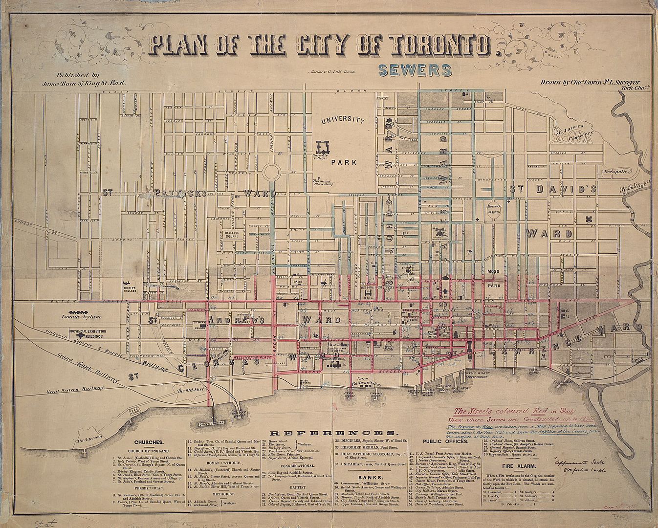
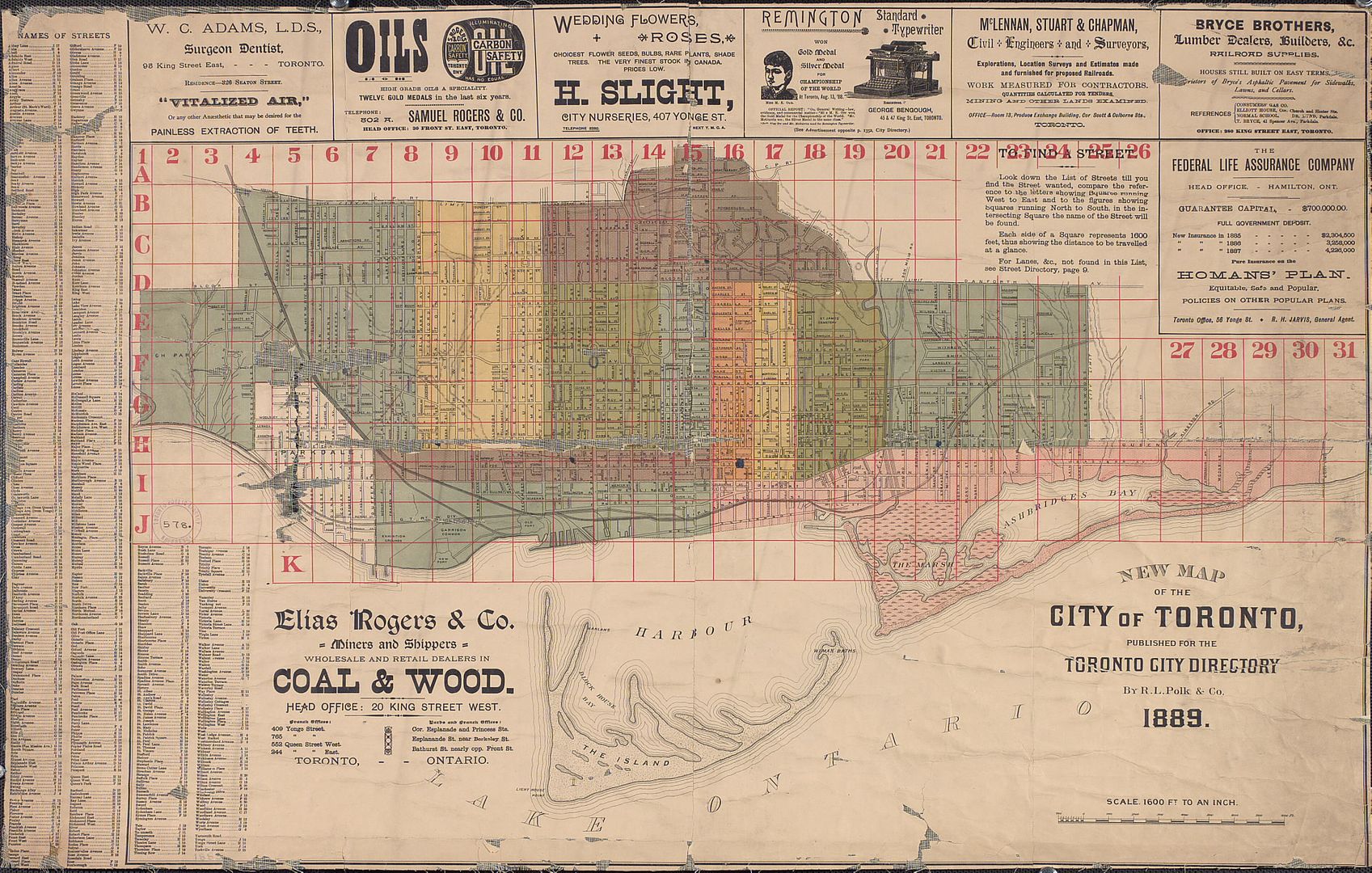
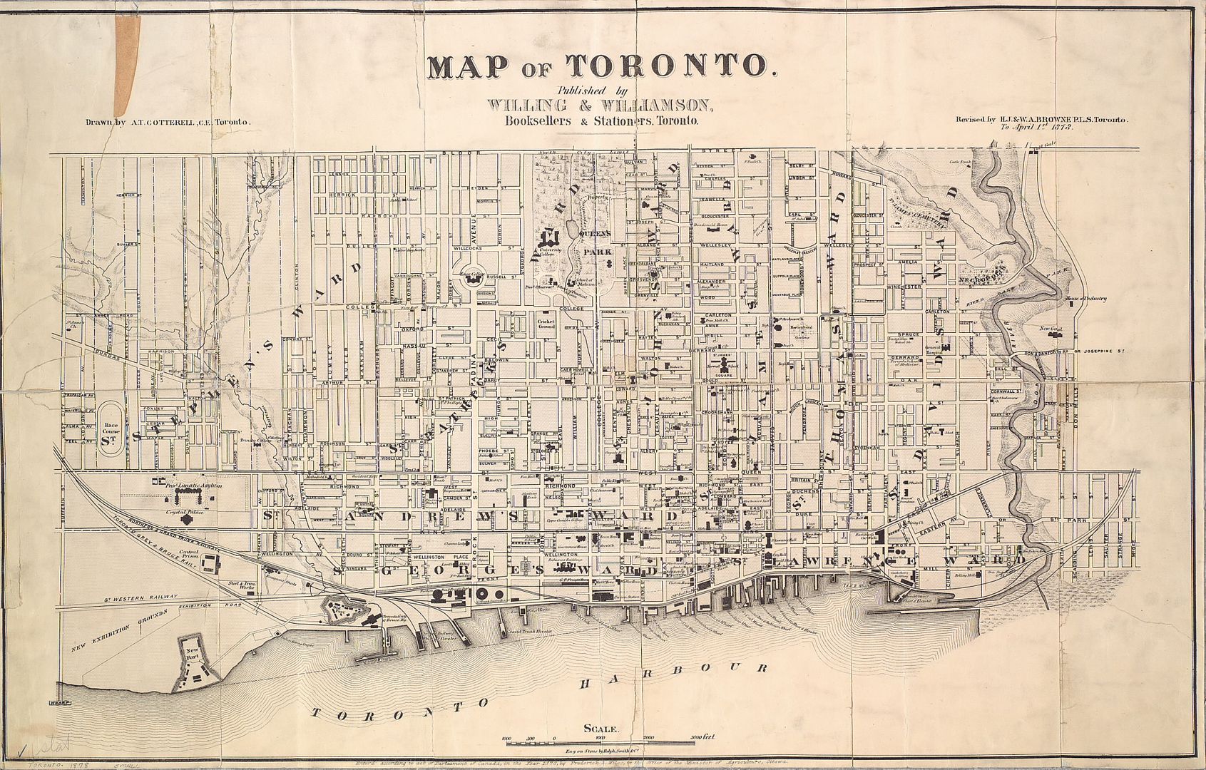
Infrastructure 1858:
|
|
|
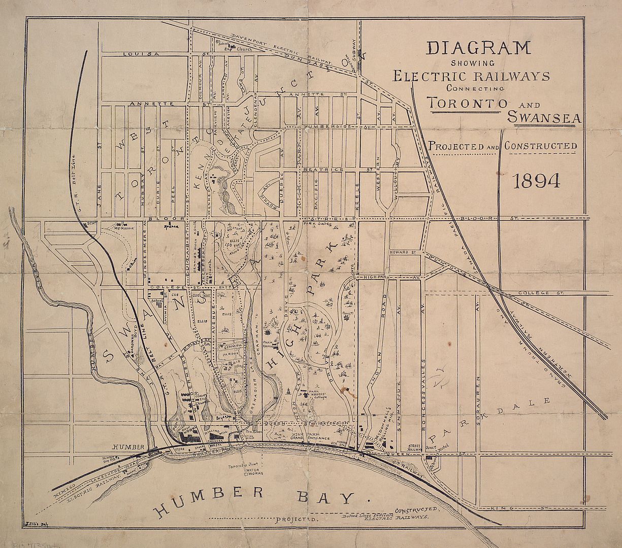
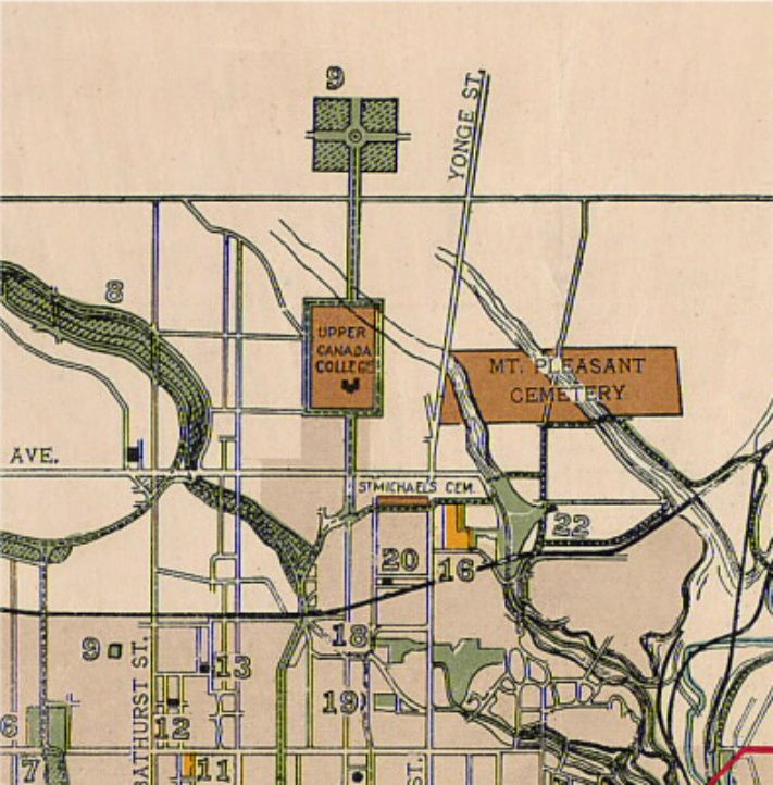
Speaking of Sunnyside, an interesting map from 1894:
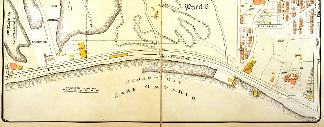
1913 (wonder about the "Rolling Mill" at Indian Road and Lakeshore; gone by 1924):
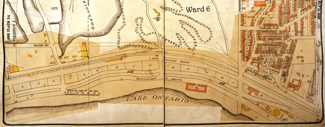
1924:

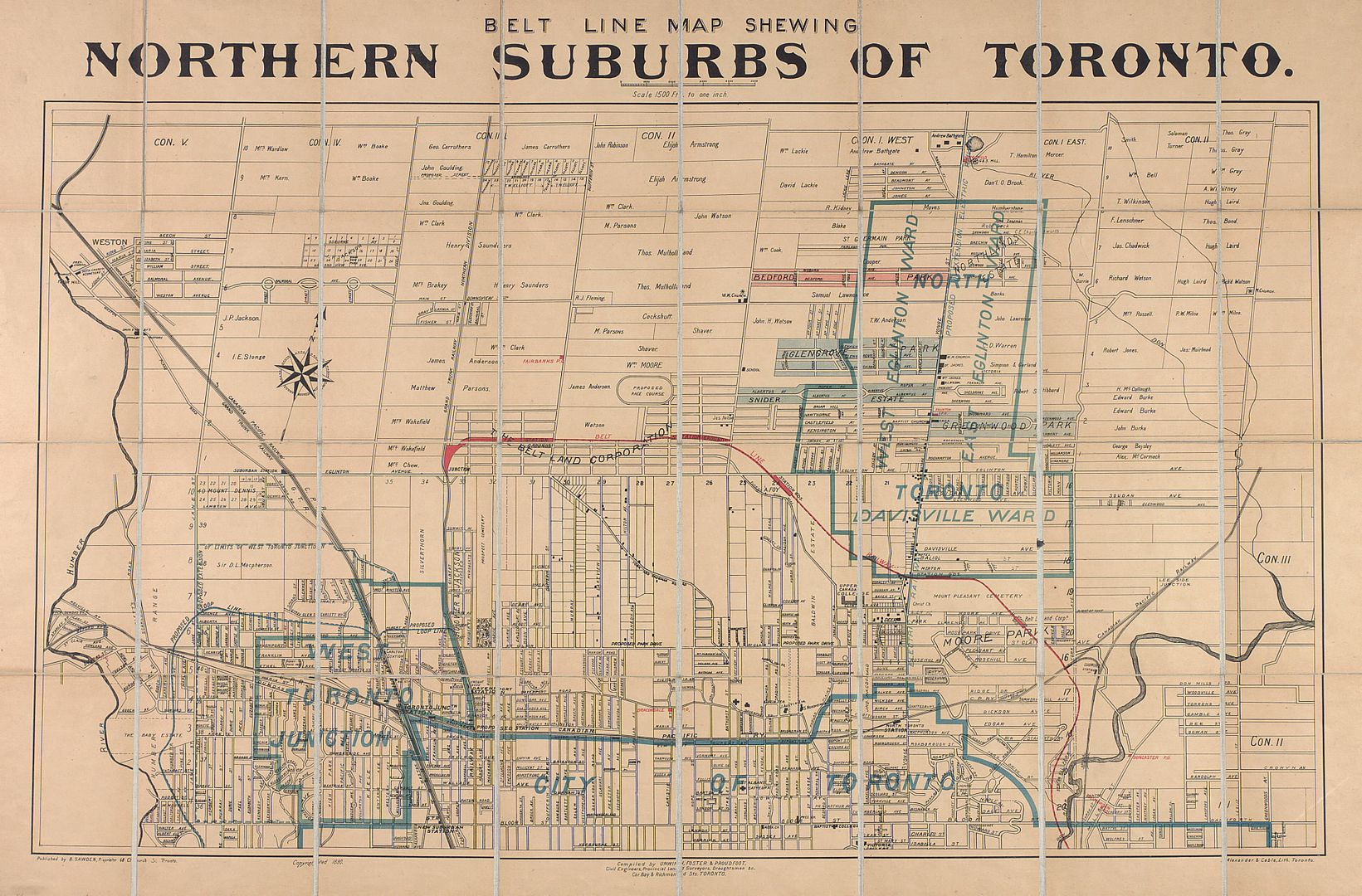
Re: the Belt Line
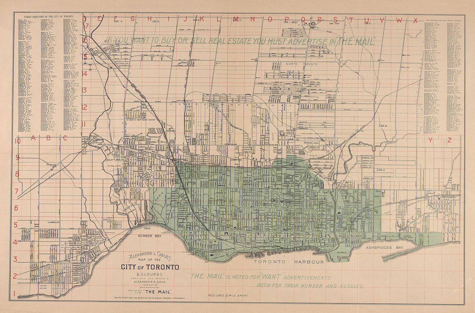
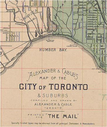
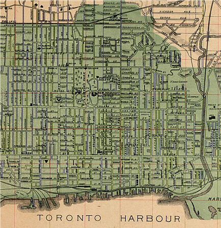
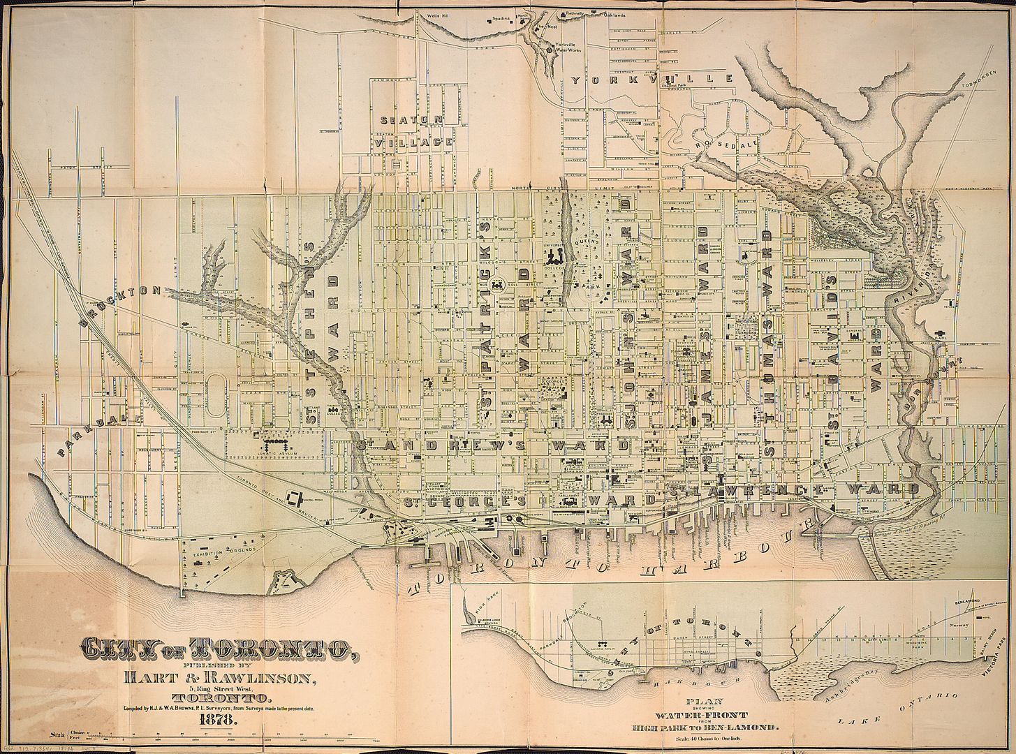
1890:
That's exactly what it has to do with. The Park Lot system of land grants under Lt.-Gov. Simcoe resulted in only one continuous east-west street (Queen Street, formerly Lot Street) and major north-south streets, laid out too infrequently and with no respect to topography (as can be seen in the 1793 map below, the first north-south artery laid-out east of Yonge was right on the Don River, which became Bayview further north):
...
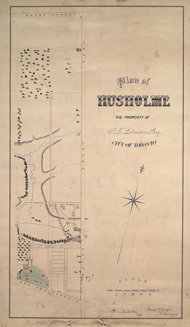
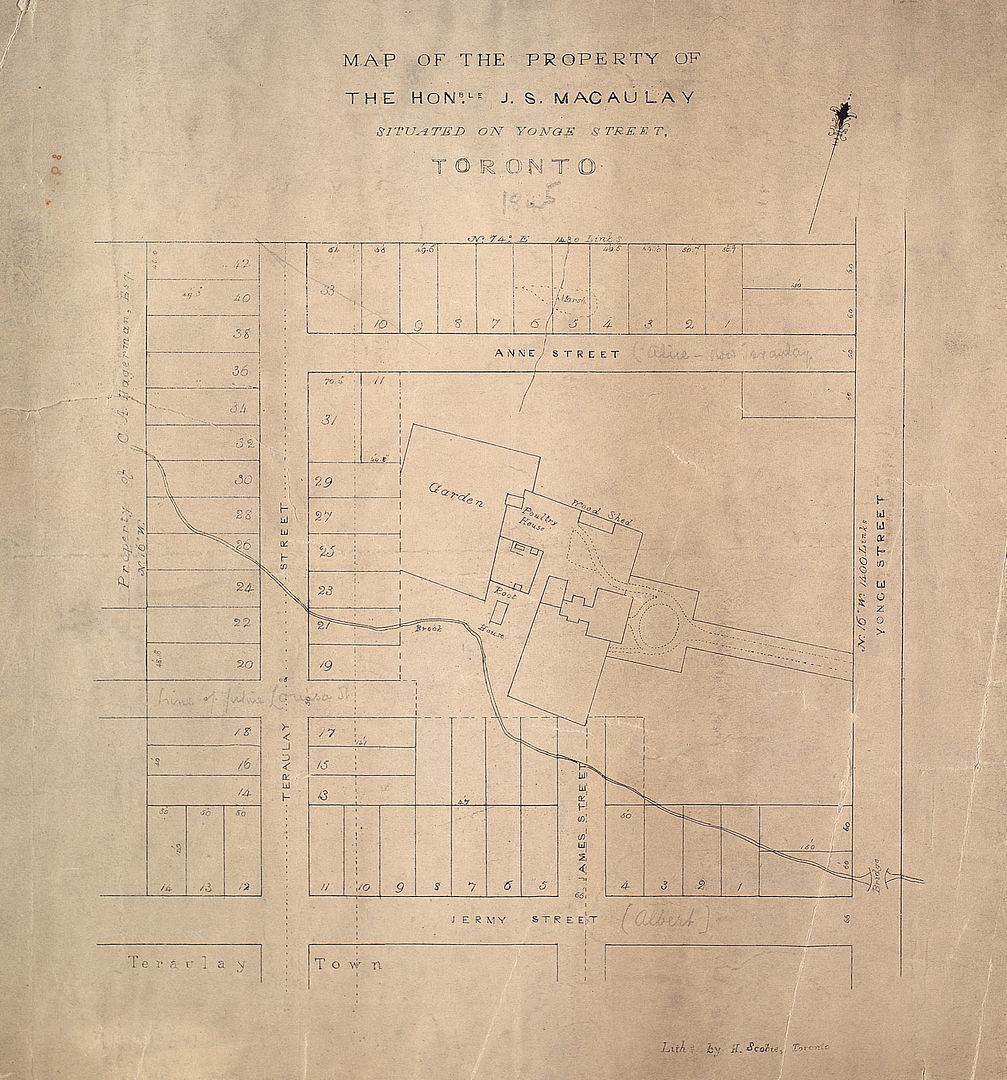
As can be seen on some of the maps previously posted, each grantee (Denison, Allan, Jarvis) subsequently subdivided his land according to his own designs.
A lot of airports are shown in the above first map.
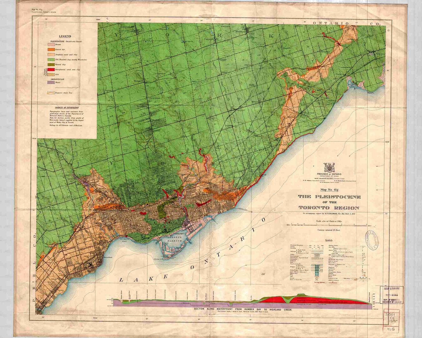
A 1932 geological map (The original file is 15 MB and is best seen on the U of T website below as the detail is quite amazing):
http://maps.library.utoronto.ca/dvhmp/Scans/G_3501_C5_1891_41G.jpg


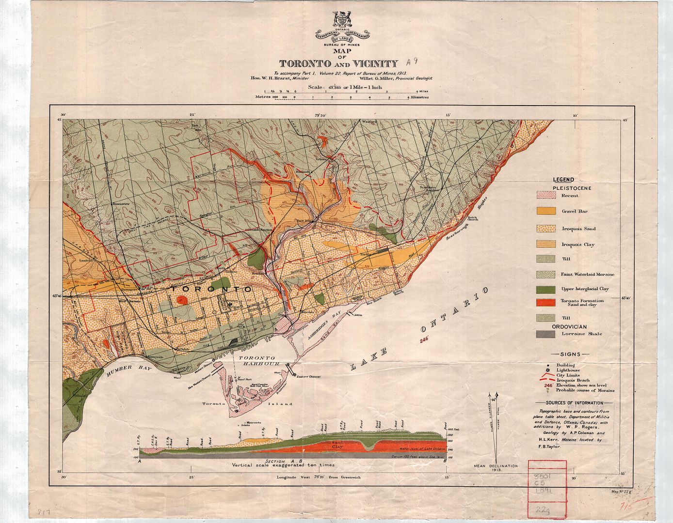
This is a wonderful map and, fortunately, contains evidence of the abandoned RR line that I have been interested in for many years.
Long ago, I discovered an abandoned right-of-way that ran through Scarborough and was visible on Ellesmere.
On this detail of the map, I have circled the spot where the CNoR line once crossed Ellesmere Rd.
The "Then & Now" photos shows how part of the abandoned RR was finally used for housing.