News   May 08, 2024
 114     0 
News   May 07, 2024
 572     0 
News   May 07, 2024
 488     1 

Rare Maps of Toronto

Lots for sale. The history of Toronto in subdivisions:

1853:

4cd95919.jpg


1854:

56f42e18.jpg


1855:

18896bea.jpg


e3f1811c.jpg


1879:

36dd76b8.jpg


1880:

adb01d83.jpg


1885:

6d665d8d.jpg
 
Amazing to me that a city so young and built with a grid in mind has so many disjointed streets. Look at that Parkdale map. Other than Dufferin not one of the north south streets south of Queen meets the ones north of Queen directly. What were they thinking?
 
Amazing to me that a city so young and built with a grid in mind has so many disjointed streets. Look at that Parkdale map. Other than Dufferin not one of the north south streets south of Queen meets the ones north of Queen directly. What were they thinking?

It seems clear that the developers a century ago were no more connected to "the City" than those today. They were building whole 'communities' so seemed to see no need to connect to other (rival) ones in the neighbourhood. It's a bit like today where developers of individual buildings may well have a great design but try to plop it down in an inappropriate place. (Think of the "Greyhound Building" proposed on Front Street and many, many others.) Plus ca change...
 
I'm wondering, too, whether the disjointed streets have anything to do with preexisting concession/lot lines...
 
I'm wondering, too, whether the disjointed streets have anything to do with preexisting concession/lot lines...

That's exactly what it has to do with. The Park Lot system of land grants under Lt.-Gov. Simcoe resulted in only one continuous east-west street (Queen Street, formerly Lot Street) and major north-south streets, laid out too infrequently and with no respect to topography (as can be seen in the 1793 map below, the first north-south artery laid-out east of Yonge was right on the Don River, which became Bayview further north):

cfef96aa.jpg


An excellent web-site called "Simcoe's Gentry: Toronto Park Lots" (http://torontofamilyhistory.org/simcoesgentry/) analyses the implications this system had on Toronto's future:

So John Graves Simcoe, the newly-appointed Lieutenant-Governor of Upper Canada, provided an incentive that was an ingenious blend of old and new worlds. He used a commodity plentiful in the new world—land. But he had a portion of that land surveyed into “parks”—modest estates suitable for a gentleman’s elegant home, advantageously situated with a view of the harbour—a very “old world” concept.


A typical Park Lot—ten times as deep as it was wide to allow every Park Lot owner to have frontage on Lot Street and proximity to the Town of York and Lake Ontario
These 100-acre “Park Lots” were located just north of the town. They had narrow frontages (660 feet) on Lot Street (today’s Queen Street), to allow all owners access to the town and harbour. The lots were ten times as deep (6,600 feet) as they were wide and extended north to today’s Bloor Street. There were 32 Park Lots running from the Don River, west to about today’s Lansdowne Avenue. From there, west to the Humber River, the land was divided into nine “Township” lots, following the pattern of the Park Lots, but double the width. They were 200 acres each, more or less, as the contours of Lake Ontario and the Humber River would allow. The Park Lots closest to the Town of York were the most desirable, and the status of the persons to whom they were granted reflected this.


The Park Lot:

Typical-Park-Lot-1.jpg


A typical Park Lot—ten times as deep as it was wide to allow every Park Lot owner to have frontage on Lot Street and proximity to the Town of York and Lake Ontario

1851:

1851-map-cropped-web-1.jpg


As can be seen on some of the maps previously posted, each grantee (Denison, Allan, Jarvis) subsequently subdivided his land according to his own designs.
 
Last edited:

How interesting that this map shows a never realized bridge crossing from Glengrove Ave. E across Blythwood Ravine Park to connect up on the east side of the ravine with Glengrove Ave. E (which is now called Glengowan). I wonder when the rename happened?
 
How interesting that this map shows a never realized bridge crossing from Glengrove Ave. E across Blythwood Ravine Park to connect up on the east side of the ravine with Glengrove Ave. E (which is now called Glengowan). I wonder when the rename happened?

It also shows the two bits of Strathgowan connected up. I was there under the Mt Pleasant bridge last week - I find it odd that Burke Brook was buried AND there's a bridge.
 
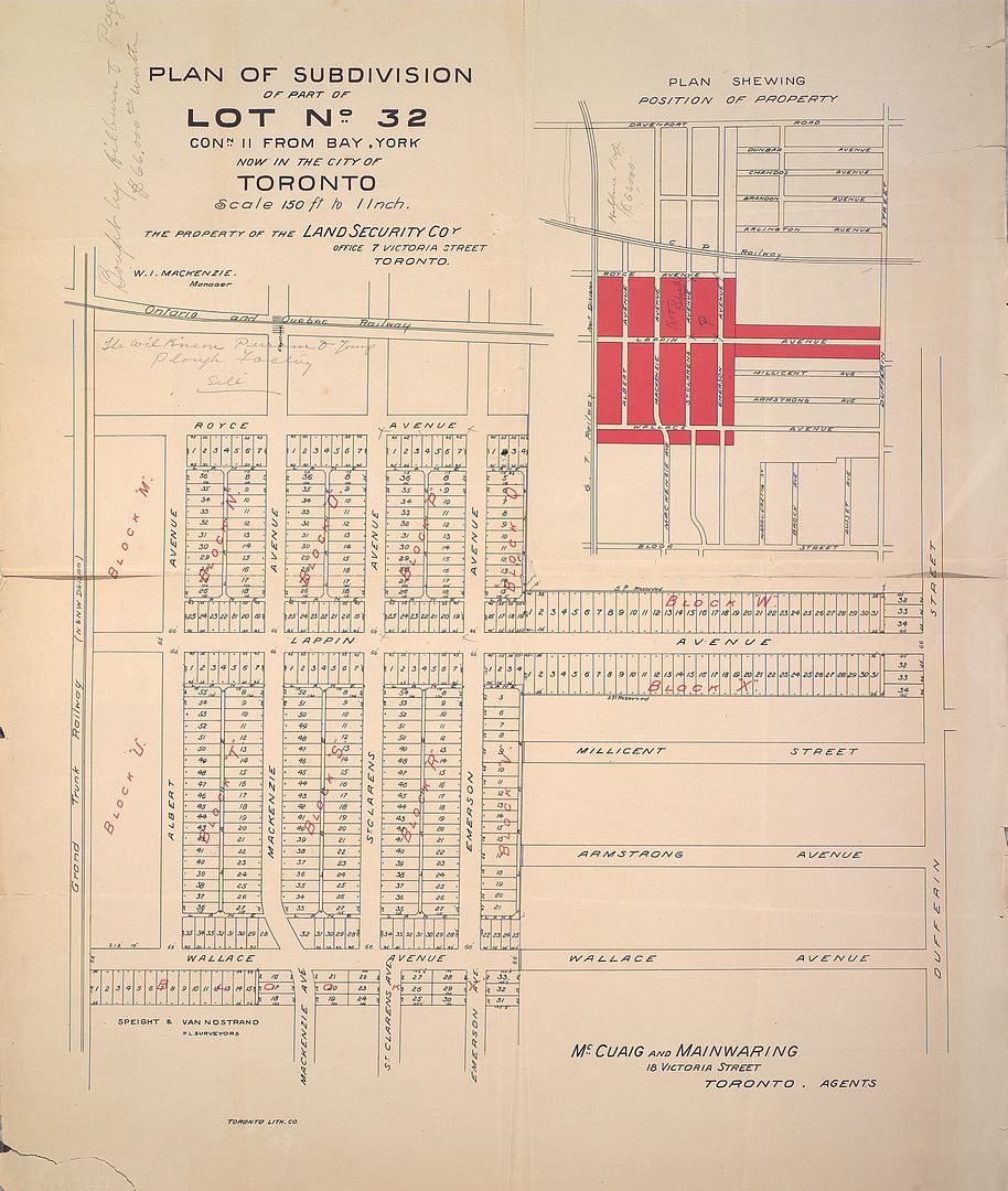
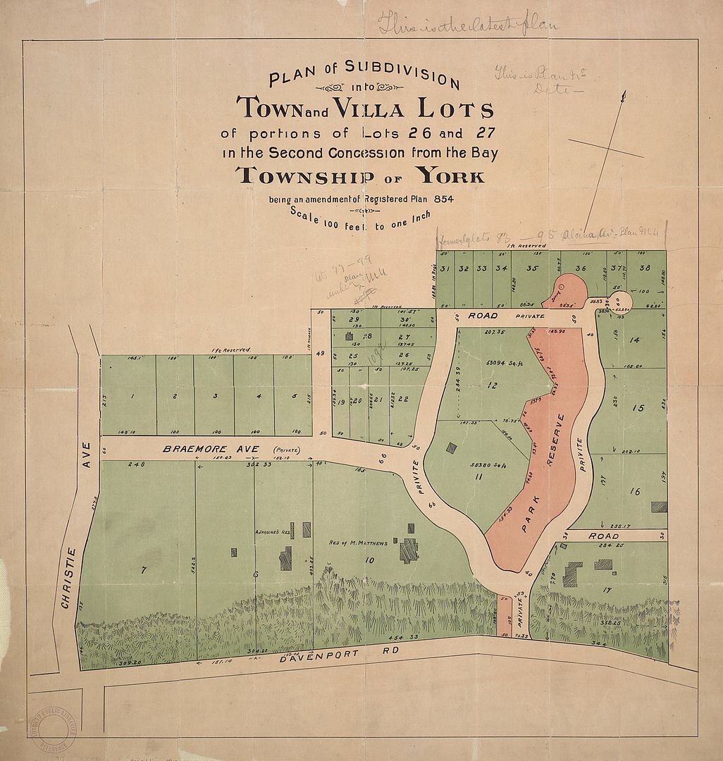
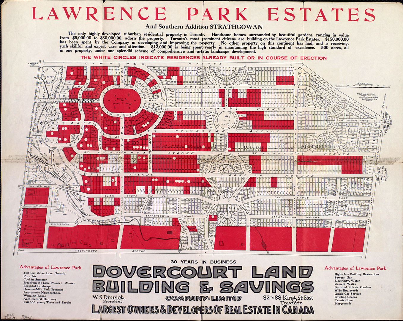
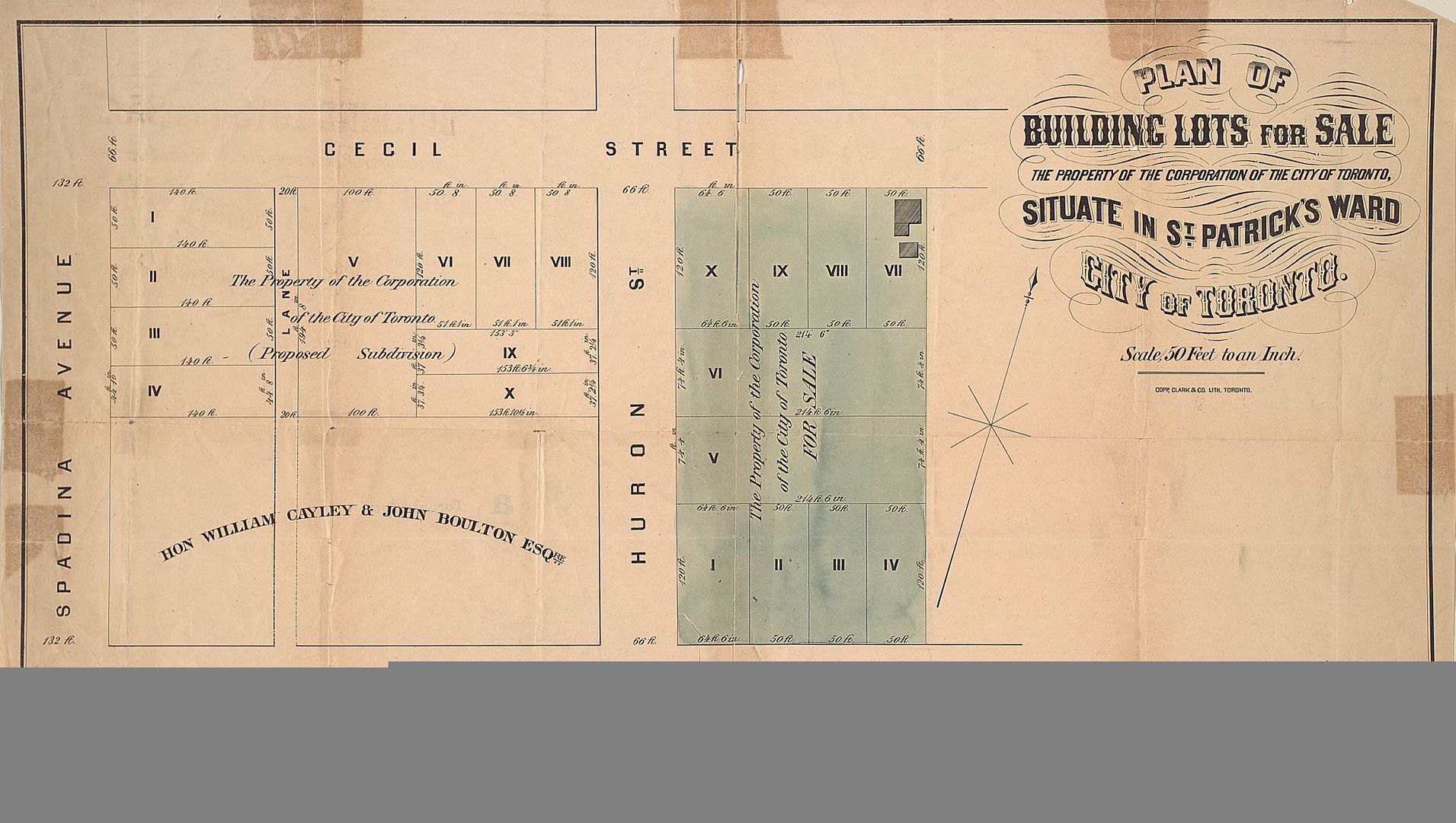
Anyone with $6500 (US) lying around may want their own copy of Goads' Atlas (the 1890, 2nd edition). I post the sales information here as the description tells one something of Goad and his methods. It is available through www.abebooks.com and is described as:

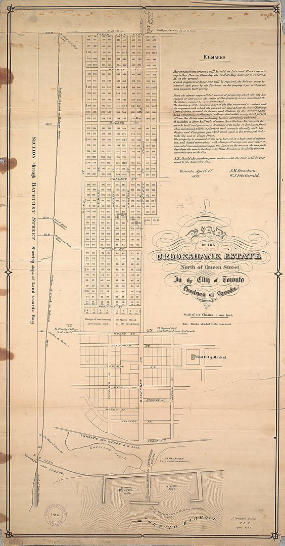
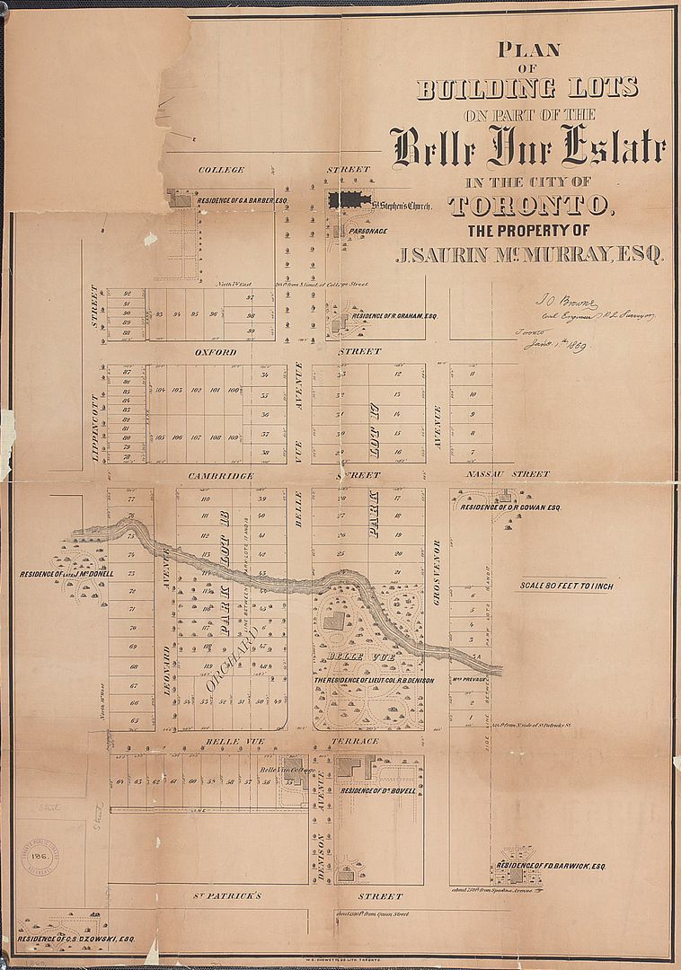
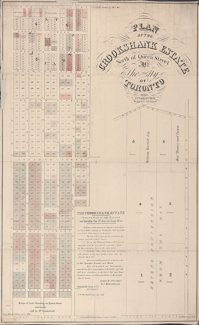
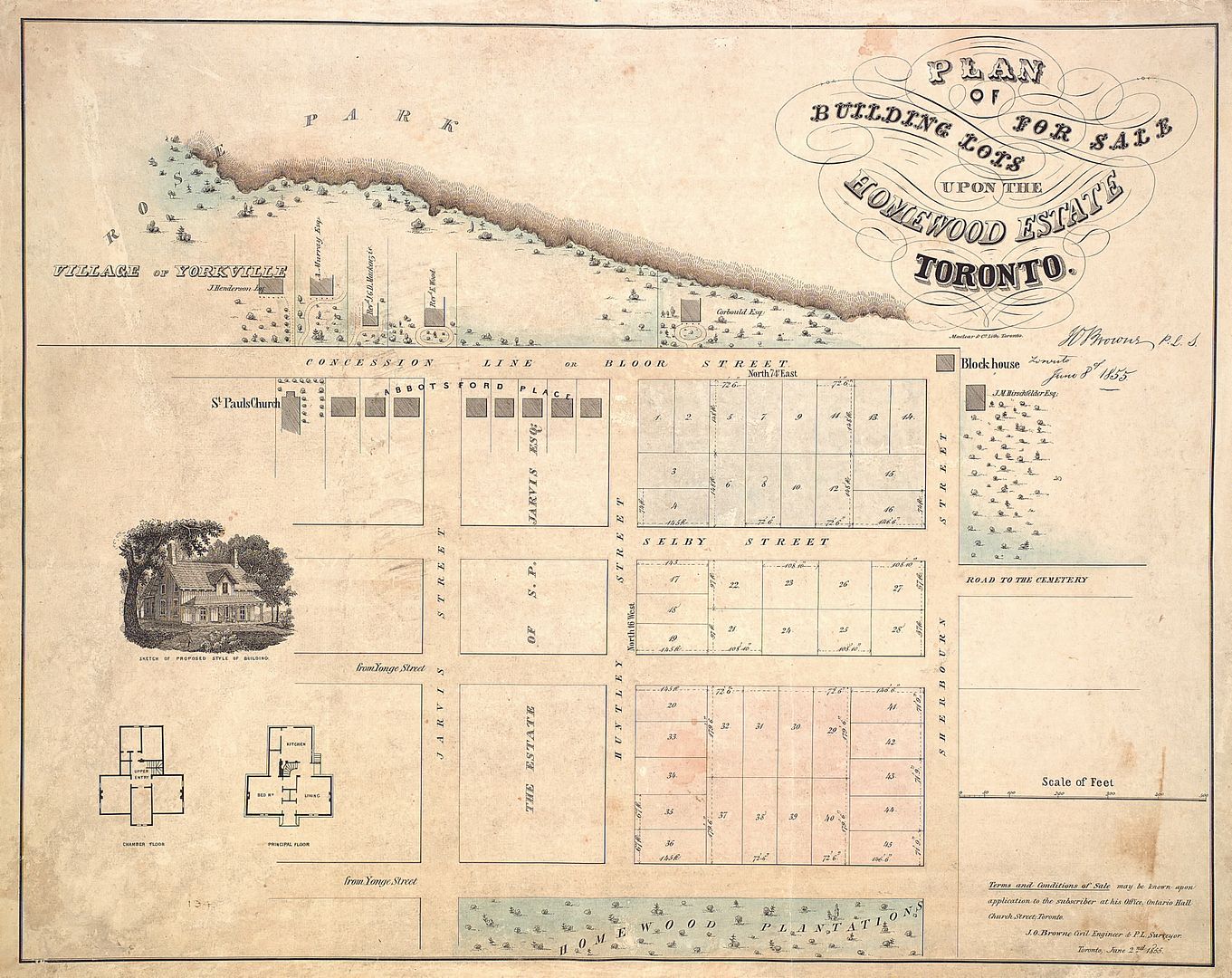
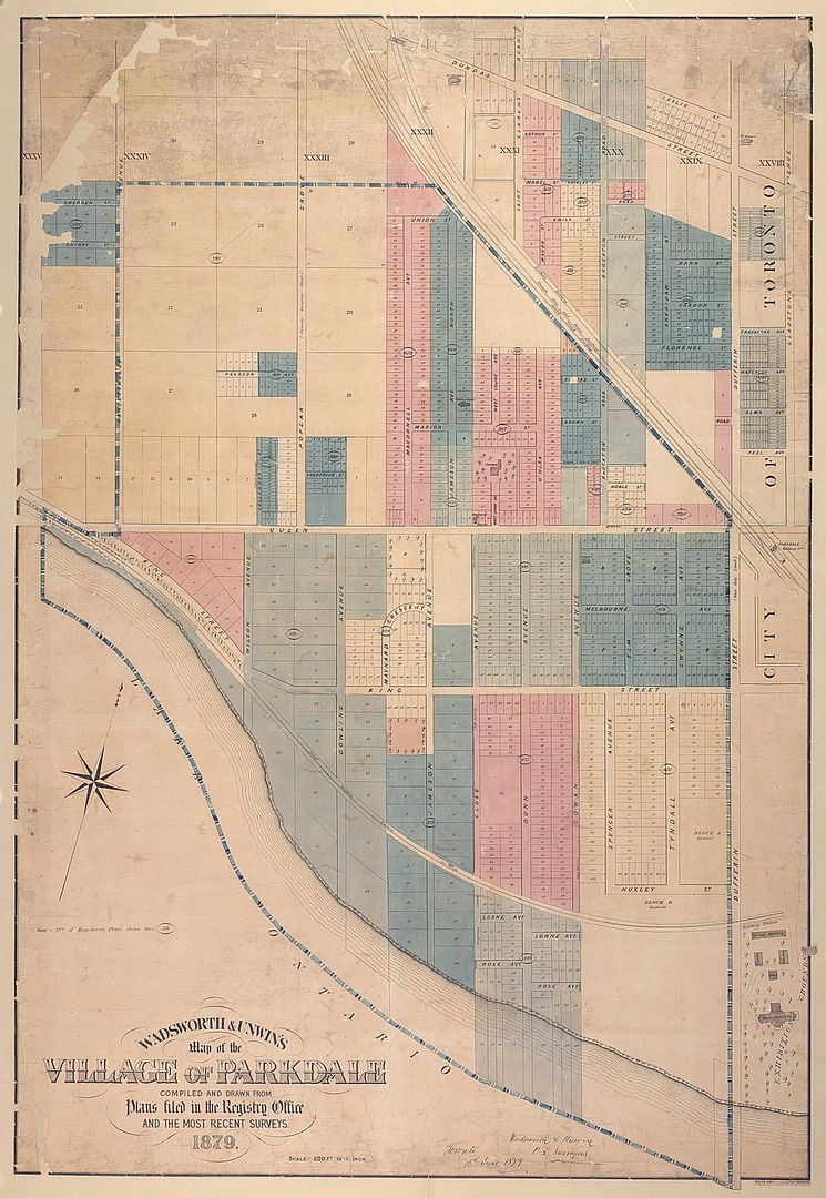
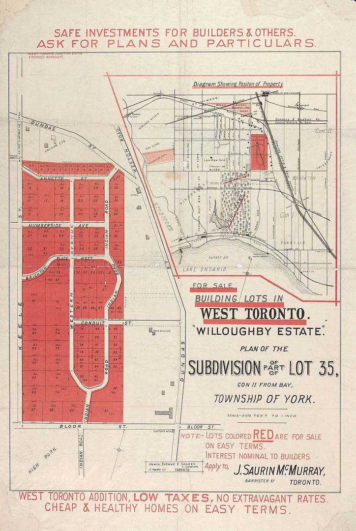
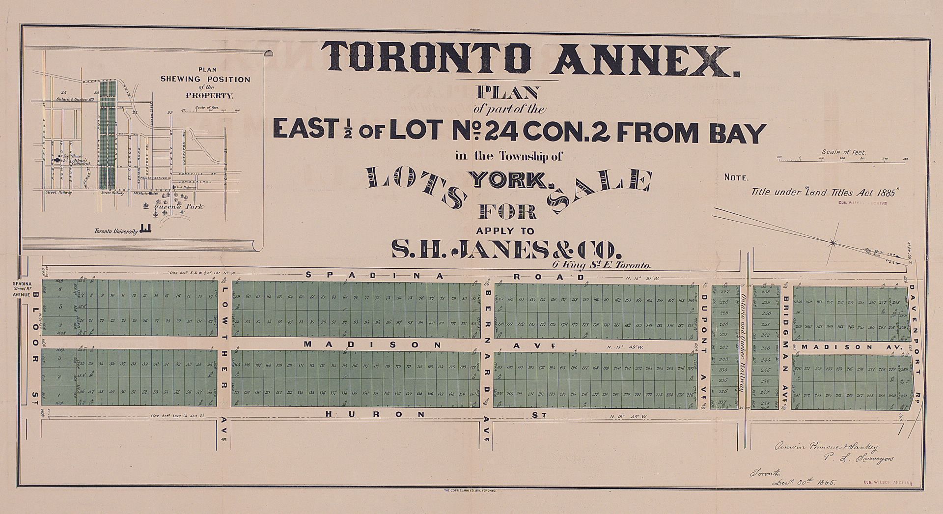
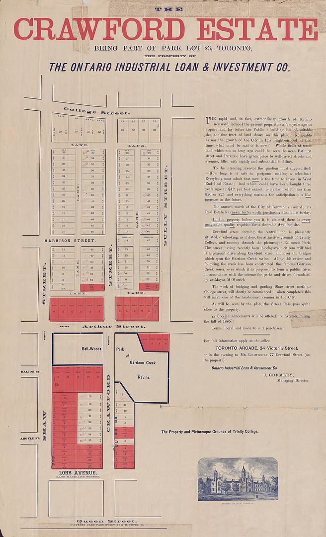
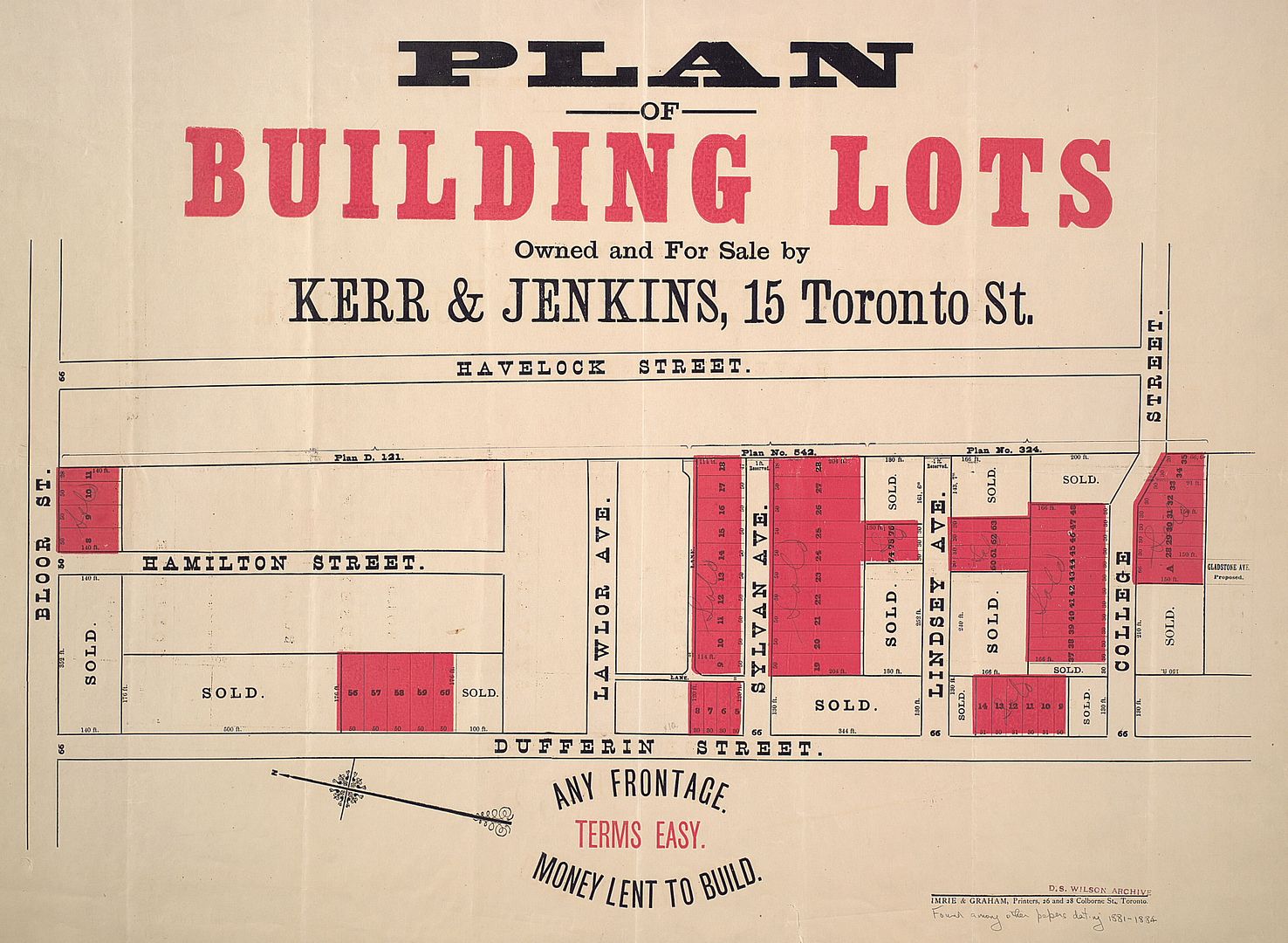
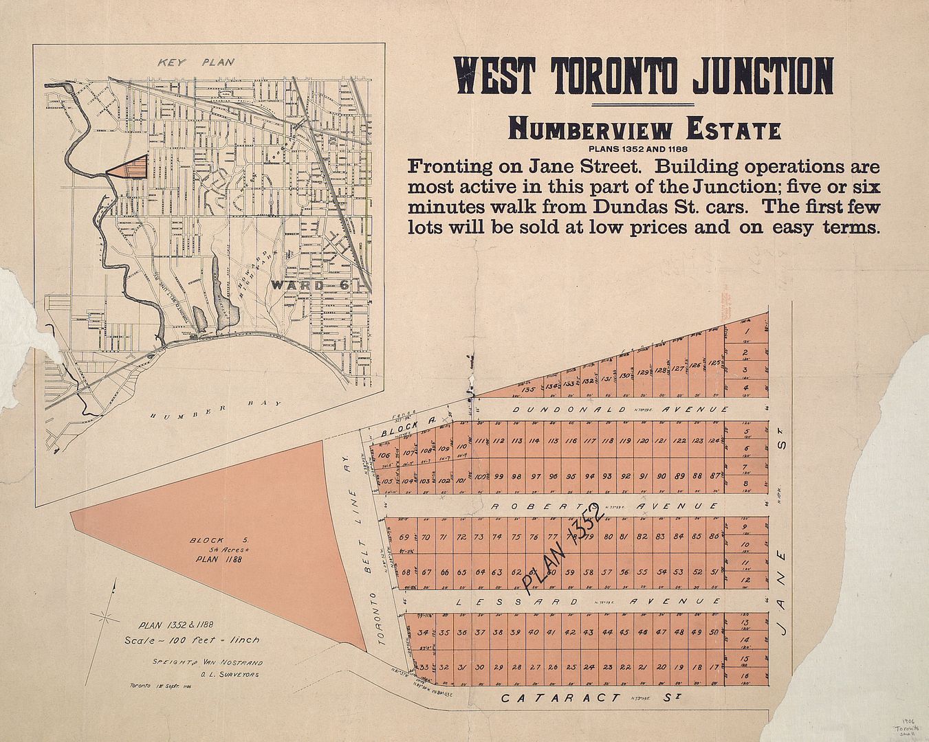
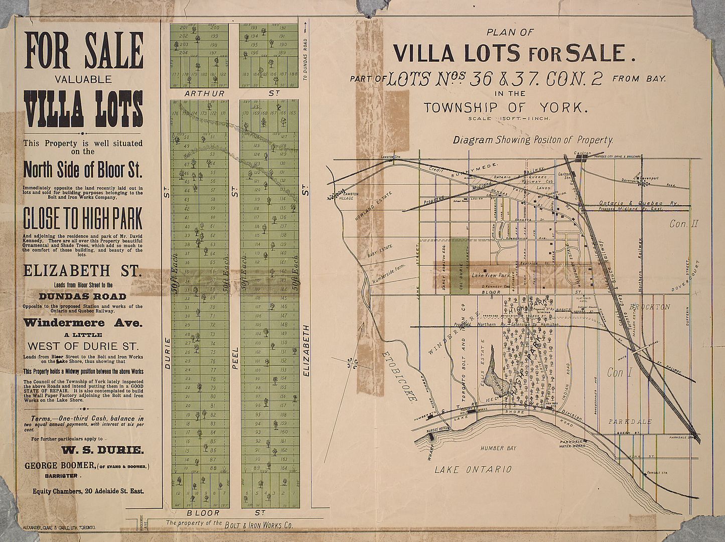
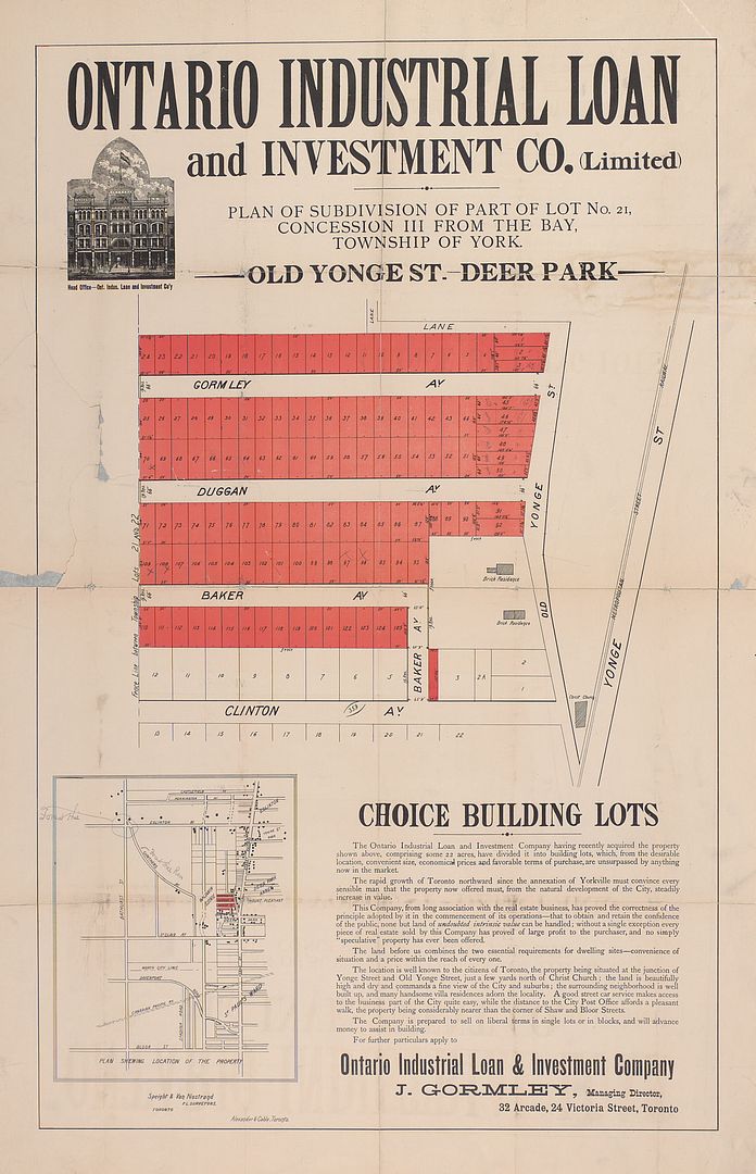
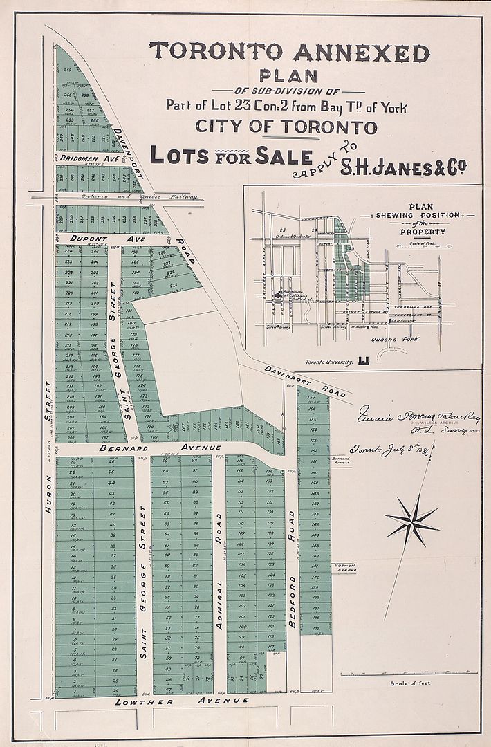
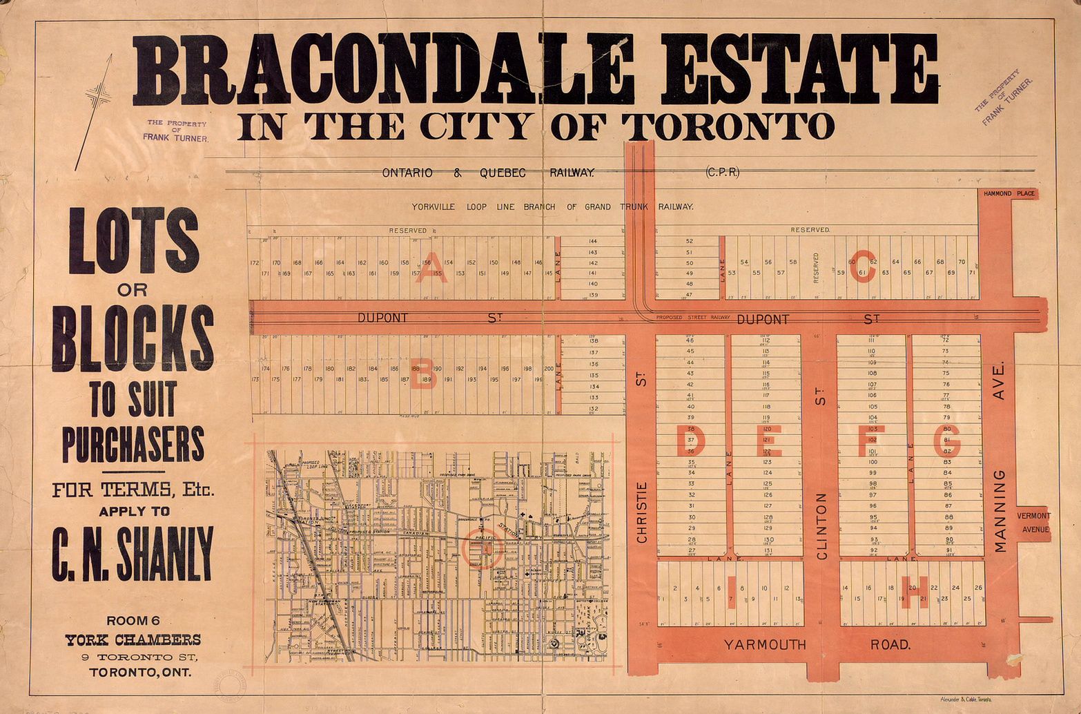
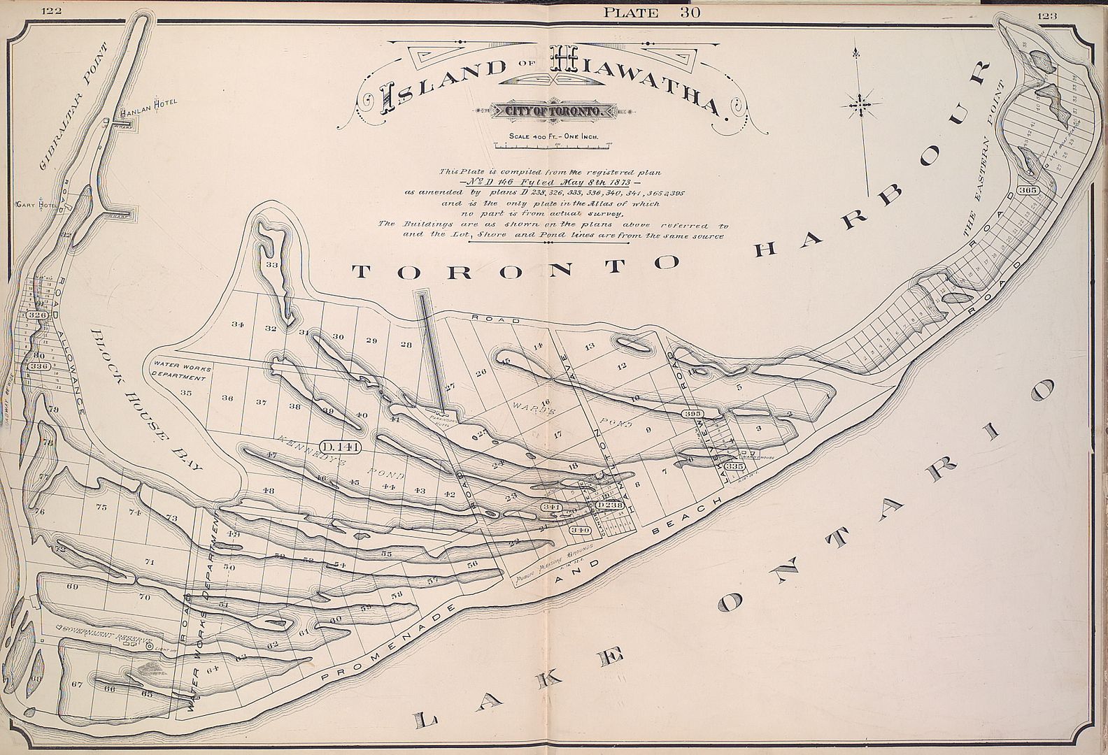
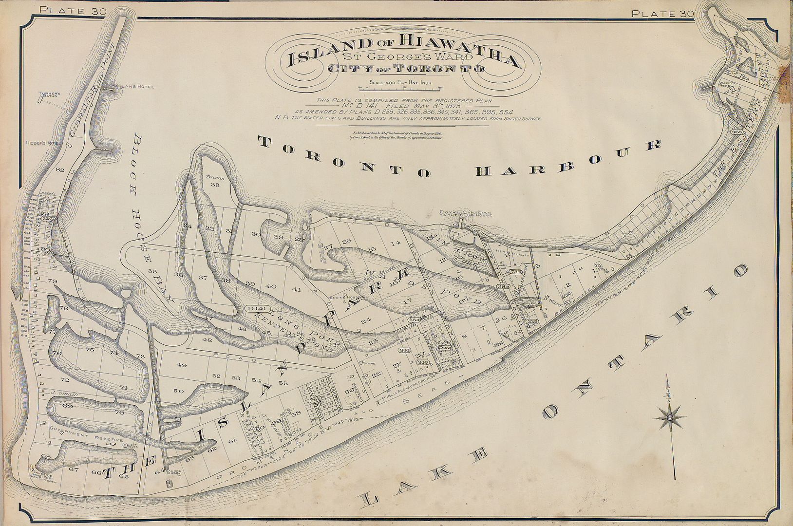
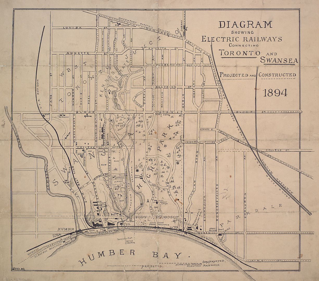
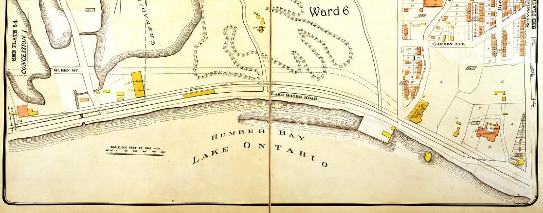
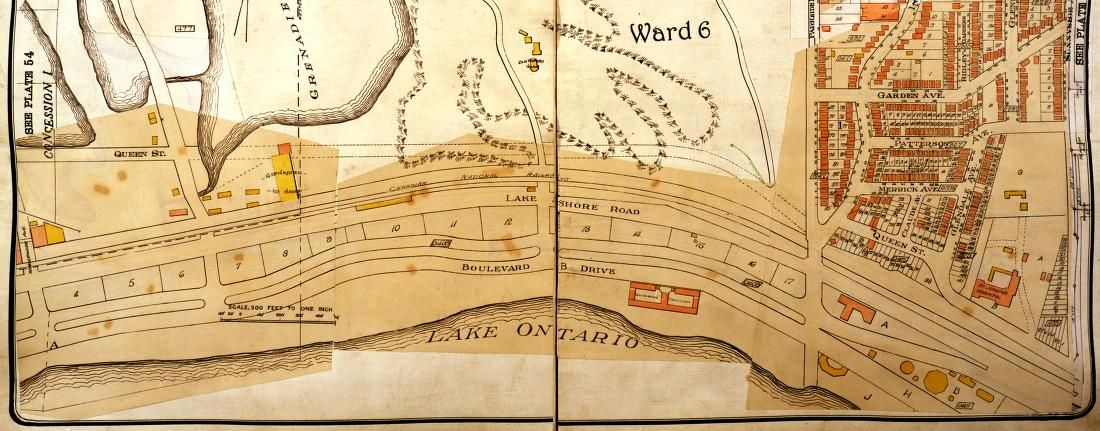
Atlas of the City of Toronto and Vicinity From Special Survey Founded on Registered Plans and Showing All Buildings and Lot Numbers.Chas. E. Goad, Toronto,"1890. Edition : 2nd Edition, Re-backed skillfully with a brown half calf saving the original cloth boards. 5 raised bands with tooled gilt lettering on 2. , A fine example of this important and scarce 2nd Edition Atlas of Toronto. Chas E Goad, the English railway engineer, went to Canada in 1868 and became a representative for the Sanborn Company which published fire insurance plans. From 1875 Goad began to compile and publish his own large-scale plans of Canadian towns from a base in Montreal, and soon became the largest private mapmaker in Canada. By 1885 Charles Goad had returned to Britain and established a branch in London. Goad's highly detailed plans included information on property holdings, building construction, use and contents, and, like Sanborn's, functioned as Fire Insurance Plans. Once leased to an insurance company the map volumes were regularly updated by a team of workers who over-pasted sections with new information onto the existing maps. Goad's business rapidly expanded to cover the cities and industrial areas of Britain, Denmark, France, Egypt, Turkey, Venezuela, Bermuda, Mexico and South Africa. After his death the company was run by his three sons. Copyrights and assets of the Canadian branch of the company were sold to The Underwriter's Survey Bureau in 1931.(The Mapping of Victorian Toronto, Paget Press 1984), Size : Folio (370mm x 490mm, Illustrated with 50 plates of City plans Very good to fine.Maps are clean and crisp.

The book 
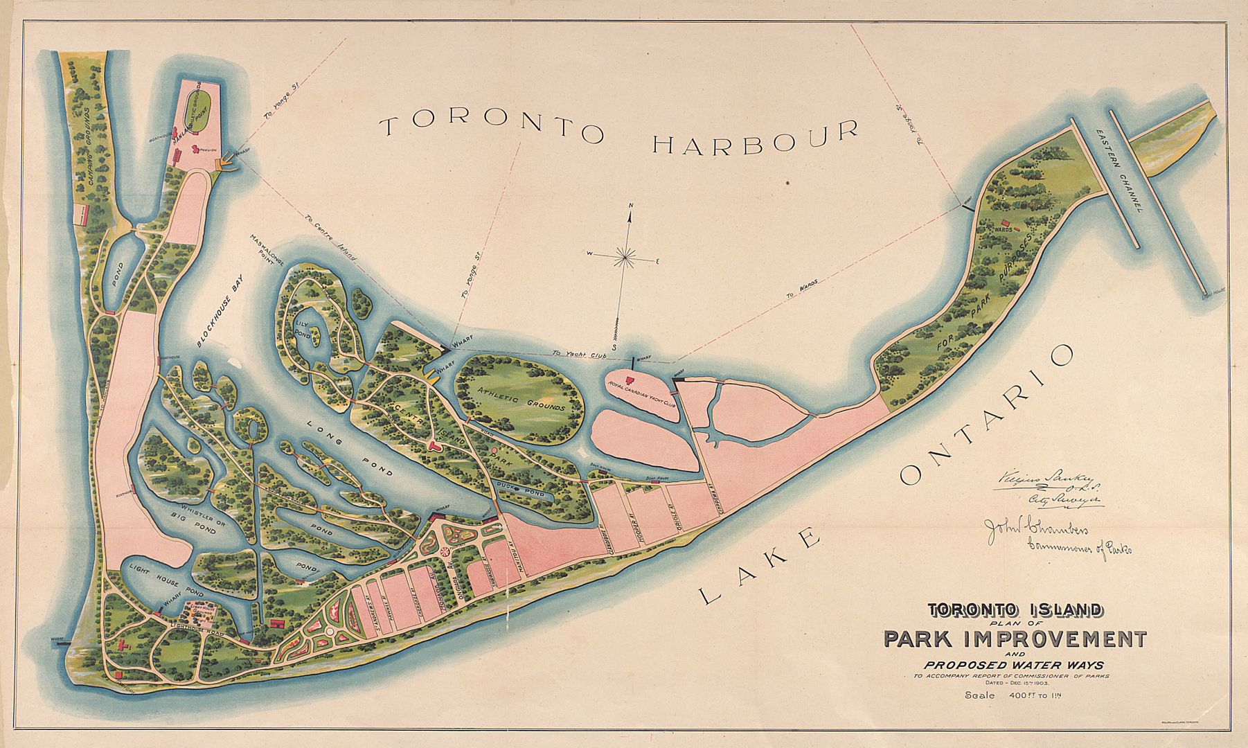
"The mapping of Victorian Toronto; the 1884 & 1890 Atlases of Toronto in Comparative Rendition" is also available, as the 1984 reprint; not as expensive but not cheap either!

It's clearly cheaper to look at the digitised copies here and at the other map sites but owning a copy WOULD be wonderful!
 
I find it interesting that Keele Street (now Parkside Drive) was slow in being extended south of Bloor Street. First, south to Howard Park. Indian Road was the only road that reached the Lake Shore. When Keele Street/Parkside Drive was eventually extended all the way, it started out as a two-lane road, similar in width to Indian Road, but merging with Indian Road where the Queensway overpass is today. That's why there is still a small jog to the west after going north past the railway overpass today.
 
I find it interesting that Keele Street (now Parkside Drive) was slow in being extended south of Bloor Street. First, south to Howard Park. Indian Road was the only road that reached the Lake Shore. When Keele Street/Parkside Drive was eventually extended all the way, it started out as a two-lane road, similar in width to Indian Road, but merging with Indian Road where the Queensway overpass is today. That's why there is still a small jog to the west after going north past the railway overpass today.

It's always been interesting to me how Indian Road's south terminus ends the way it does - abruptly in a dead end against the embankment that is The Queensway.
 
It's always been interesting to me how Indian Road's south terminus ends the way it does - abruptly in a dead end against the embankment that is The Queensway.

When I lived in the Sunnyside area as a kid, we had flooded basements. Looking back at these maps, I see streams and ponds but now hidden away. Except during big rainstorms.

The kids at Scared Heart Orphanage (now St. Joseph's Health Centre) must have played near the small pond, but is today houses and streets.


There were also continuations of the streams from High Park that drained ponds north of Bloor Street.


BTW. The above map shows the Belt Line Railway between the Humber River and Jane Street. Should be remembered that the maps shows the property lots, not current houses.

Click on the small maps to view the big maps.
 
Last edited:
Speaking of Sunnyside, an interesting map from 1894:

maps-r-111.jpg


1913 (wonder about the "Rolling Mill" at Indian Road and Lakeshore; gone by 1924):

highparkwaterfront.jpg


1924:

highparkwaterfront1924.jpg
 
Last edited:

Back
Top