|
|
|


You are using an out of date browser. It may not display this or other websites correctly.
You should upgrade or use an alternative browser.
You should upgrade or use an alternative browser.
Miscellany Toronto Photographs: Then and Now
- Thread starter Mustapha
- Start date
Mustapha
Senior Member
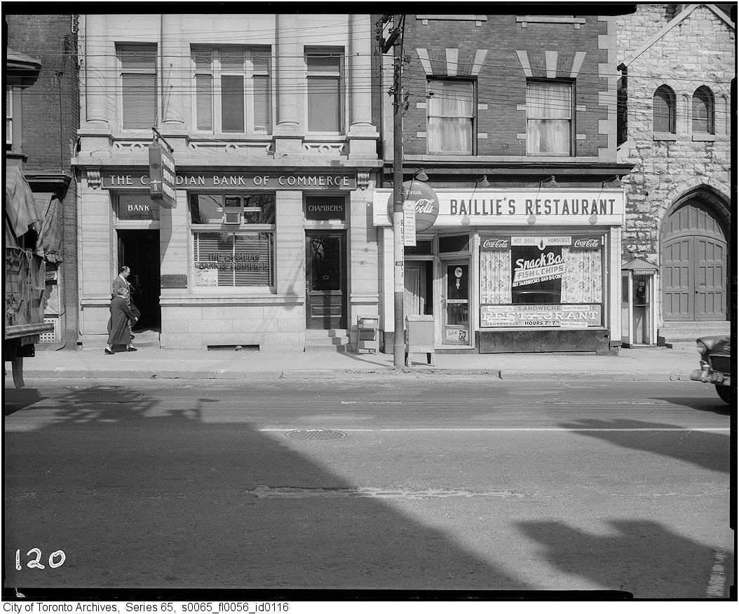
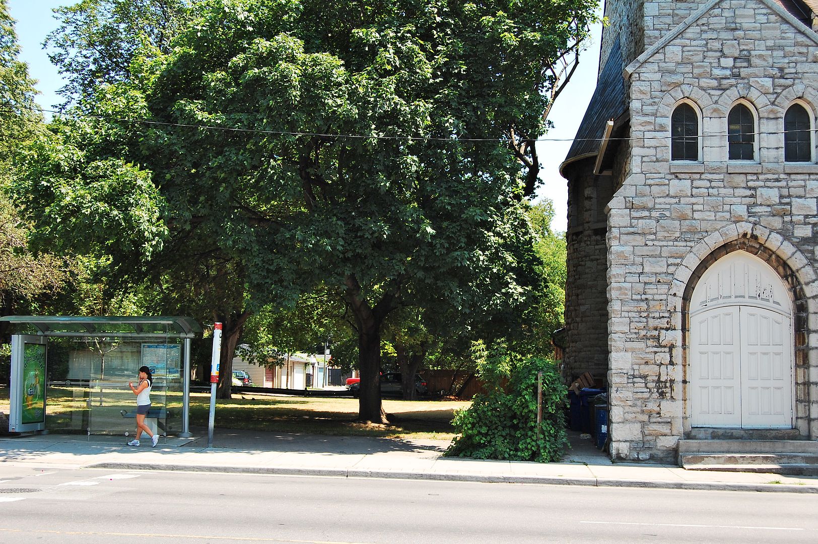
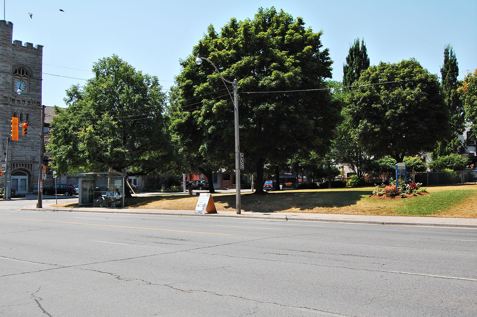
Quite right. As attractive as the two parkettes are at Macpherson and Dupont, the village that once existed there would have been a great asset to the neighbourhood.
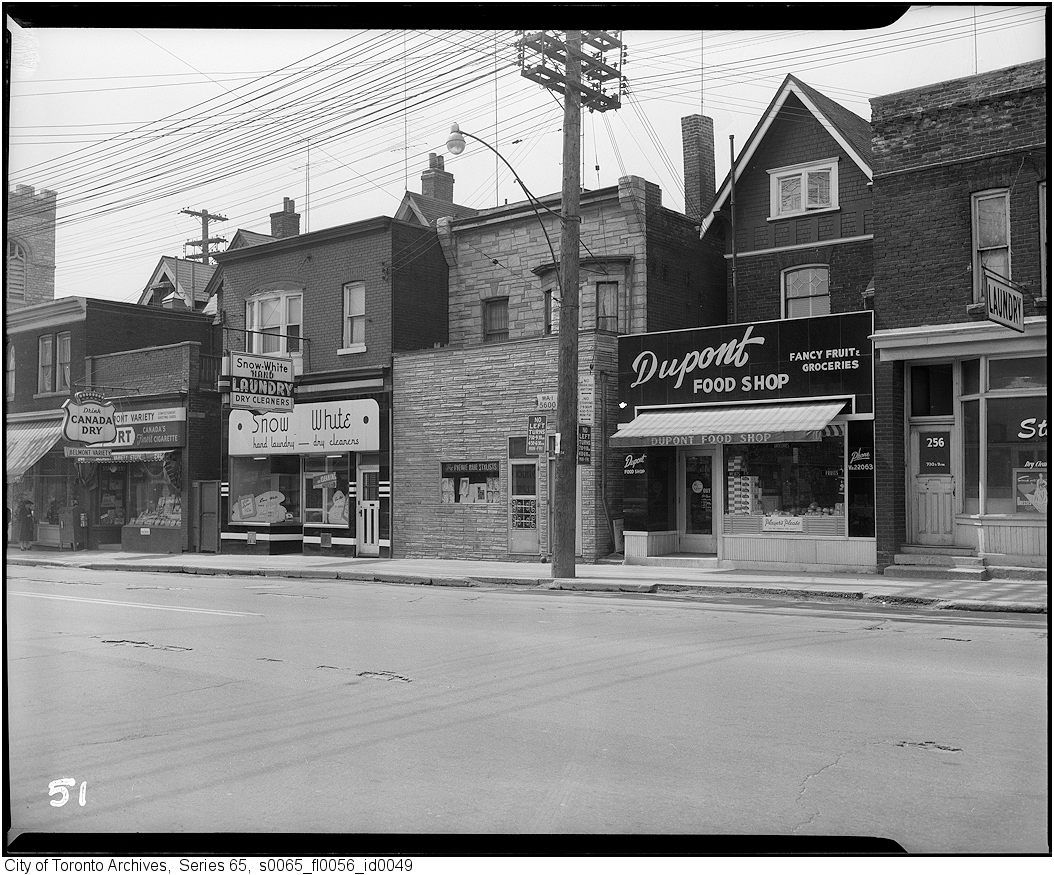
1959, pre-widening, west side of Avenue Road north of Dupont:
thecharioteer
Senior Member
Thanks for these, Mustapha. It's clear in the east side photo, when comparing the church steps, that the block would have to go if the street was to be widened. "Something's got to give", as the expression goes.
Though I'm part of the problem, being a frequent driver on Avenue Road, part of me wishes the street had never been widened (if only all those other drivers would stay away.....)
Though I'm part of the problem, being a frequent driver on Avenue Road, part of me wishes the street had never been widened (if only all those other drivers would stay away.....)
Mustapha
Senior Member
July 26 Then and Now.
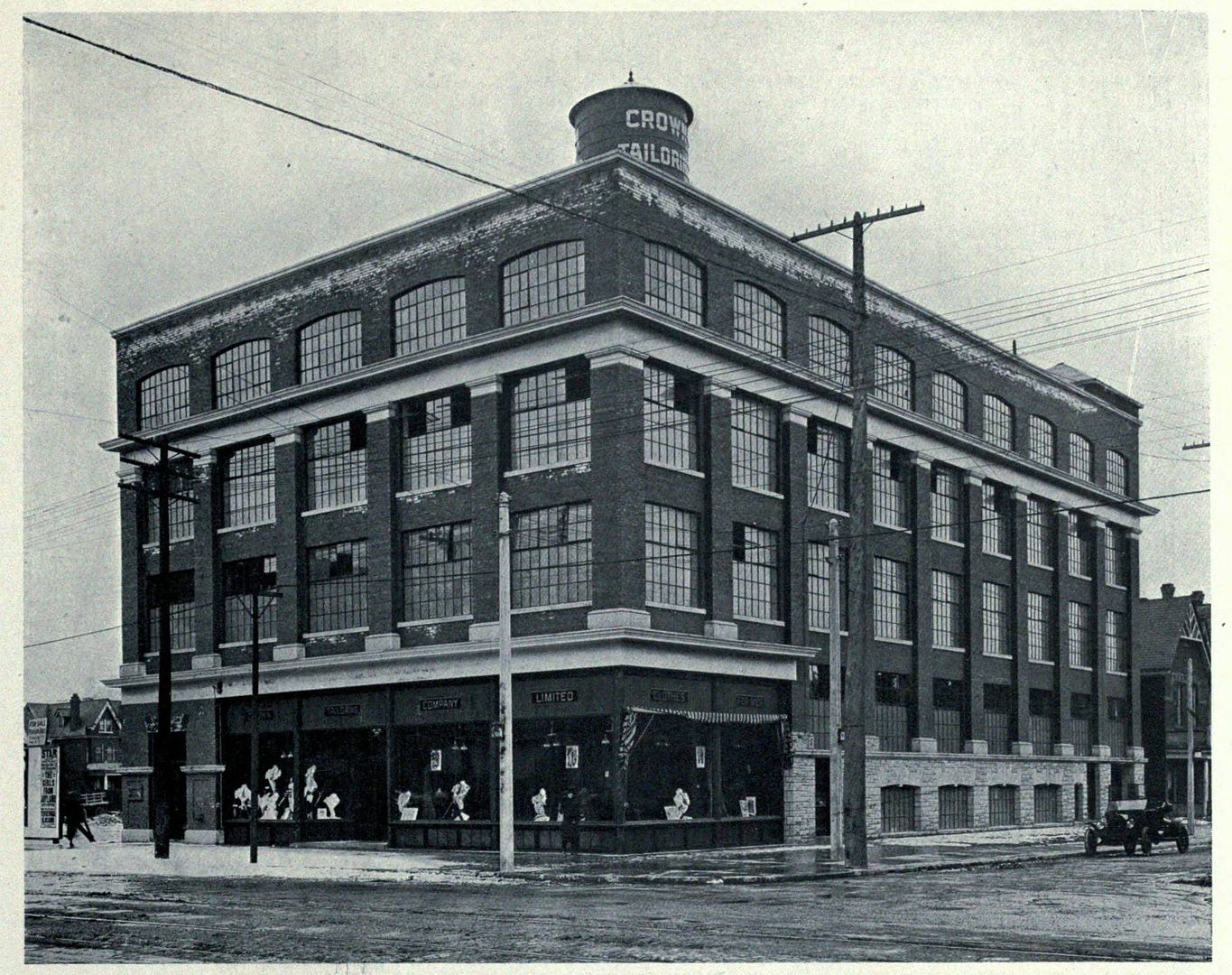
Then. 533 College. This is at Euclid, on the SE corner. c1914. Picture provided by wwwebster. "Crown[??] Tailoring" it says? Not sure...
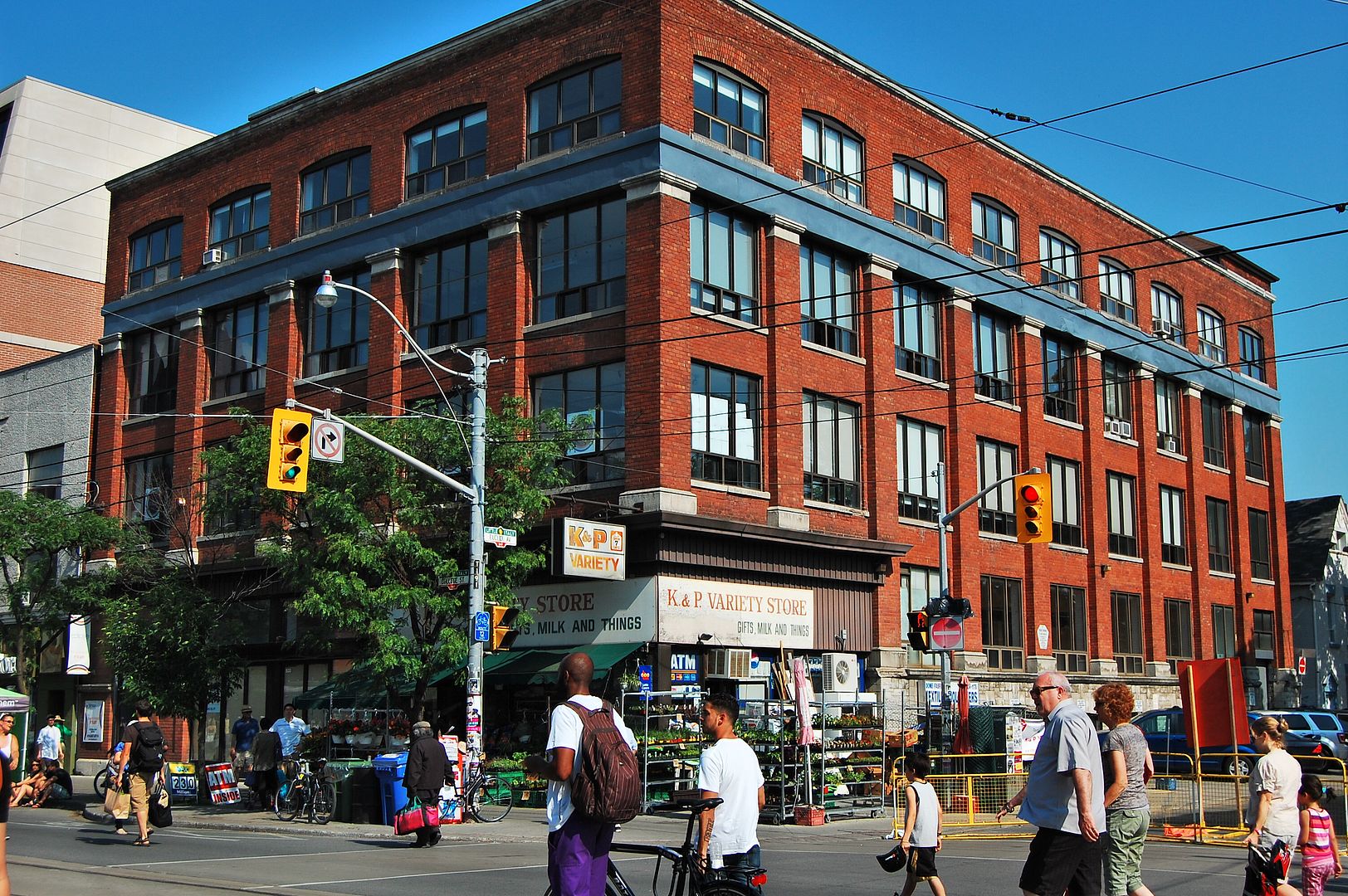
Now. June 2011.
Then. 533 College. This is at Euclid, on the SE corner. c1914. Picture provided by wwwebster. "Crown[??] Tailoring" it says? Not sure...
Now. June 2011.
NomoreaTorontonian
Active Member
Thanks for these, Mustapha. It's clear in the east side photo, when comparing the church steps, that the block would have to go if the street was to be widened. "Something's got to give", as the expression goes.
Though I'm part of the problem, being a frequent driver on Avenue Road, part of me wishes the street had never been widened (if only all those other drivers would stay away.....)
The summer before Avenue Road was widened, we spent many mornings on it in traffic jams, wondering if we would make it down to Ontario Hydro in time for work. I think we had to contend with street cars as well as motor traffic (or was that on Bay?). At the same time the city were finalizing the plans for widening the road. I recall that the front of Avenue Road Church had to be cut back. Once the work was completed a year or two later, driving down that part of Avenue Road was slow, but never the stop and start it was before.
jje1000
Senior Member
Neither of the buildings shown are the Toronto Star. The building on the NE corner is the Bank of Nova Scotia; the building on the NW corner was the Bank of Montreal. The Star was to the west.
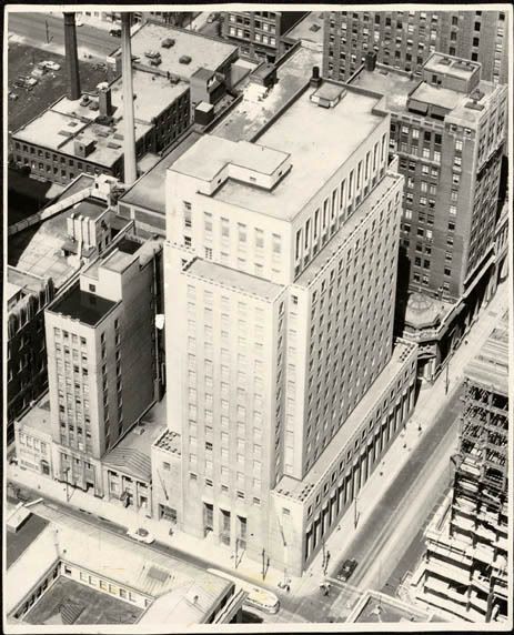
Just a quick question- was that gorgeous little building on the corner behind the old Bank of Montreal HQ also torn down when First Canadian Place was built? Or did it succumb earlier on?
thecharioteer
Senior Member
Just a quick question- was that gorgeous little building on the corner behind the old Bank of Montreal HQ also torn down when First Canadian Place was built? Or did it succumb earlier on?
Looks like it succumbed earlier.
It first appears in the Goad atlases in 1910 labelled the Molson's Bank:
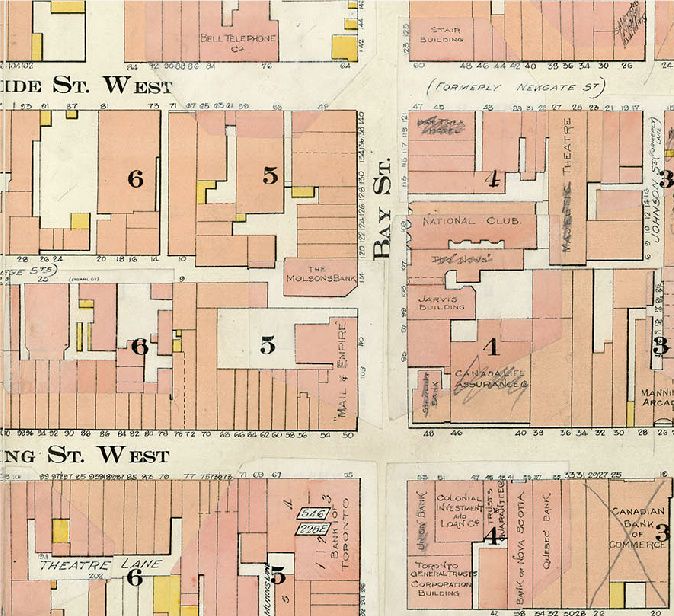
1912:
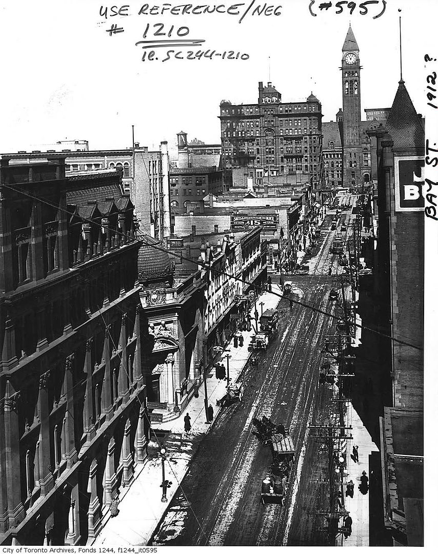
1924, it's still there:
By the 1950's, it's gone:
Last edited:
FAC33
Active Member
Just a quick question- was that gorgeous little building on the corner behind the old Bank of Montreal HQ also torn down when First Canadian Place was built? Or did it succumb earlier on?
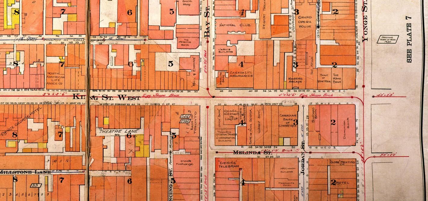
The one with the dome and angled entrance?
I know the one next door to it is 302 Bay, the very easy-to-miss Bank of Montreal Trust building which is still around. It looks like it might even connect. I suspect it did survive until FCP, because the little plot of land it was on wouldn't have been very buildable.
FAC33
Active Member
Looks like it succumbed earlier.
It first appears in the Goad atlases in 1910 labelled the Molson's Bank:
By the 1950's, it's gone:
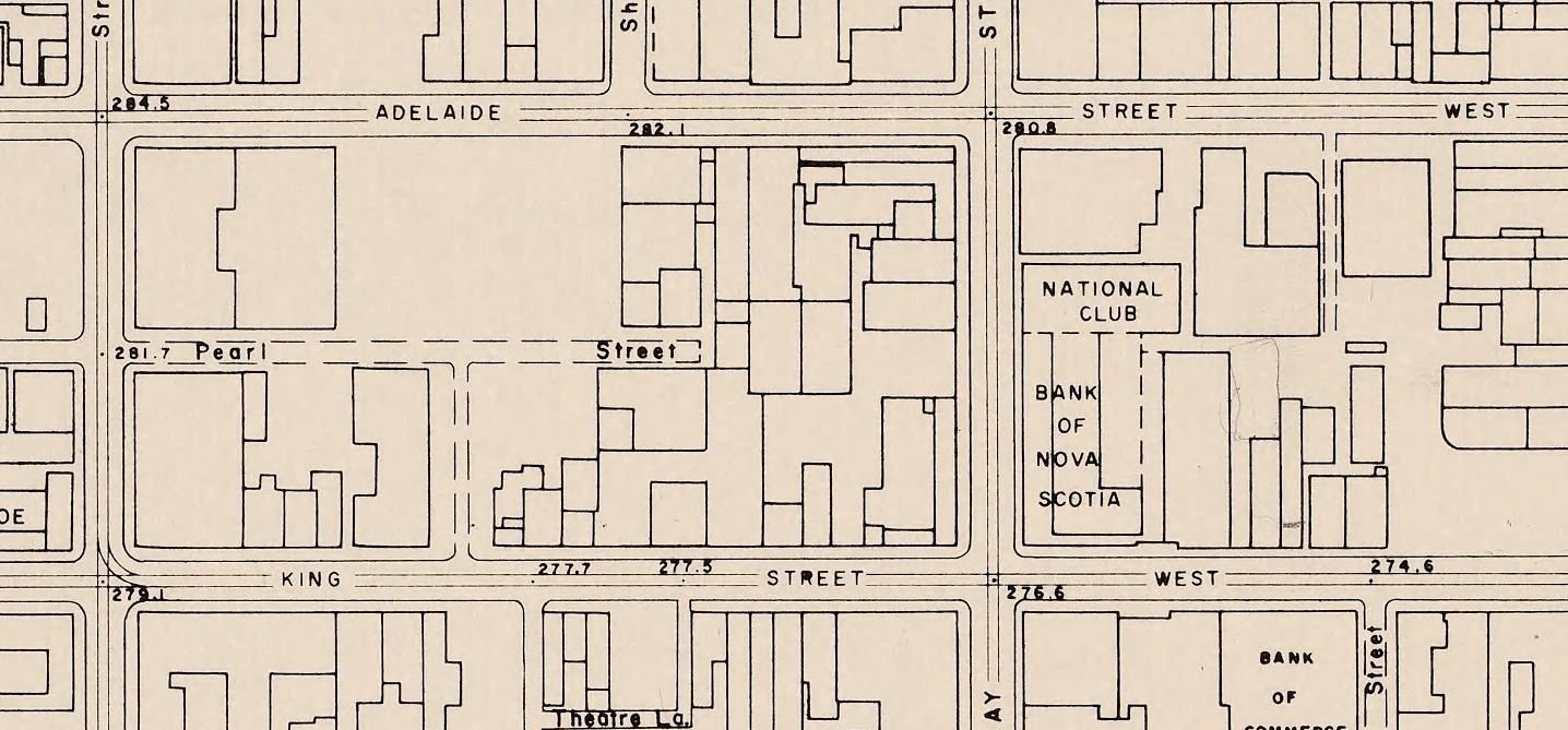
Which is odd, since the photo we were looking at shows the Bank of Nova Scotia under construction, which dates it to late 40s or even 1950, and it's still there at that point.
The Goads is also a little confusing for this block. What the heck is going on at the southwest corner of Bay & Adelaide? I know what was going on there, because I'm sitting in it right now, but it seems to show an odd little warren of buildings on that corner instead of the Canada Permanent.
mattelderca
Active Member
July 26 Then and Now.
Then. 533 College. This is at Euclid, on the SE corner. c1914. Picture provided by wwwebster. "Crown[??] Tailoring" it says? Not sure...
My father and I did some work in this building, wiring for a contractor called Small Building Company. Must have been late eighties. Was a nice building!
thecharioteer
Senior Member
Which is odd, since the photo we were looking at shows the Bank of Nova Scotia under construction, which dates it to late 40s or even 1950, and it's still there at that point.
The Goads is also a little confusing for this block. What the heck is going on at the southwest corner of Bay & Adelaide? I know what was going on there, because I'm sitting in it right now, but it seems to show an odd little warren of buildings on that corner instead of the Canada Permanent.
The 1950's map is from the City of Toronto (http://www.toronto.ca/archives/maps/1950-toronto-survey.htm) and I believe reflects roof lines and terracing.
Mustapha
Senior Member
July 27 Then and Now.
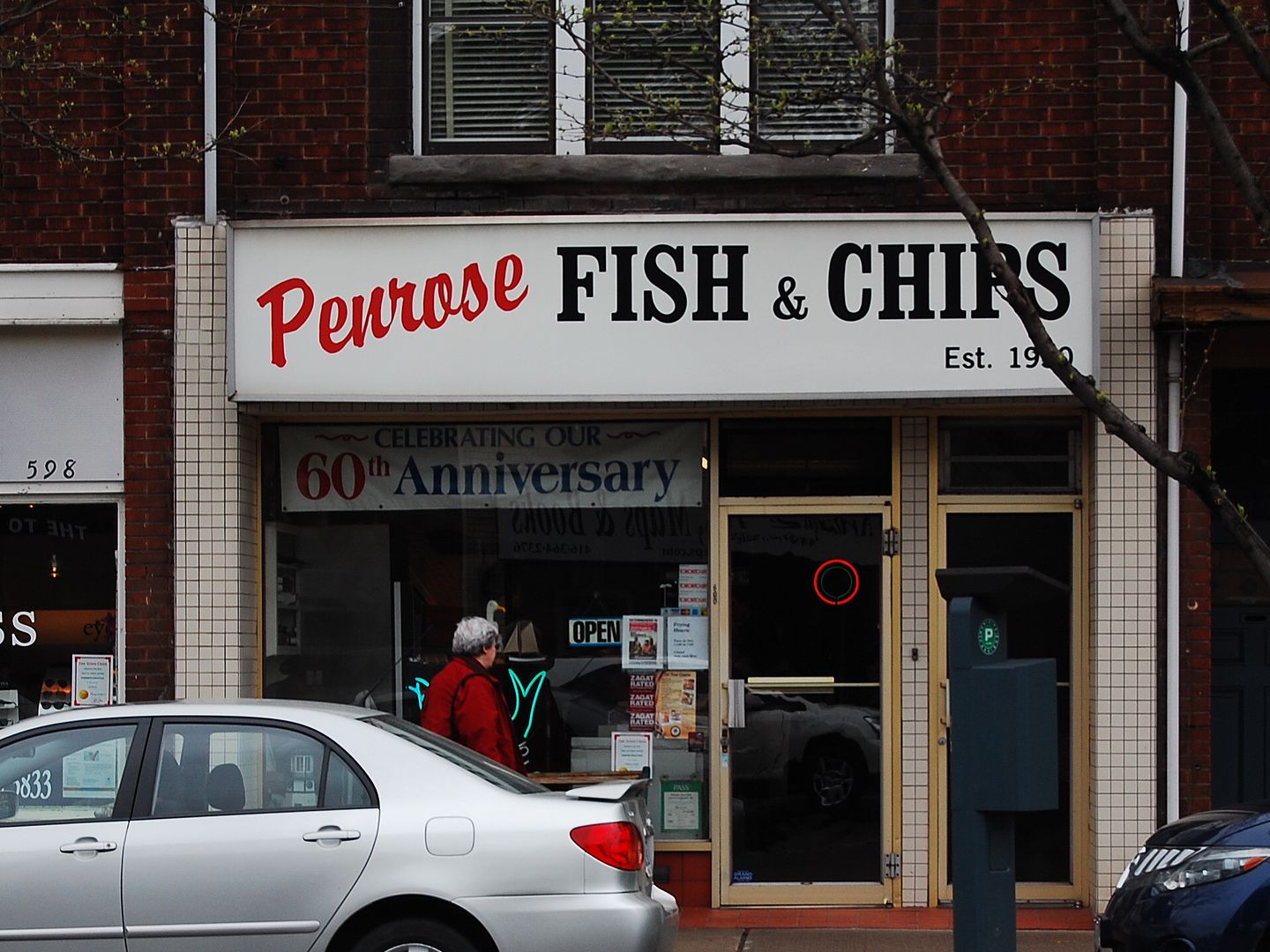
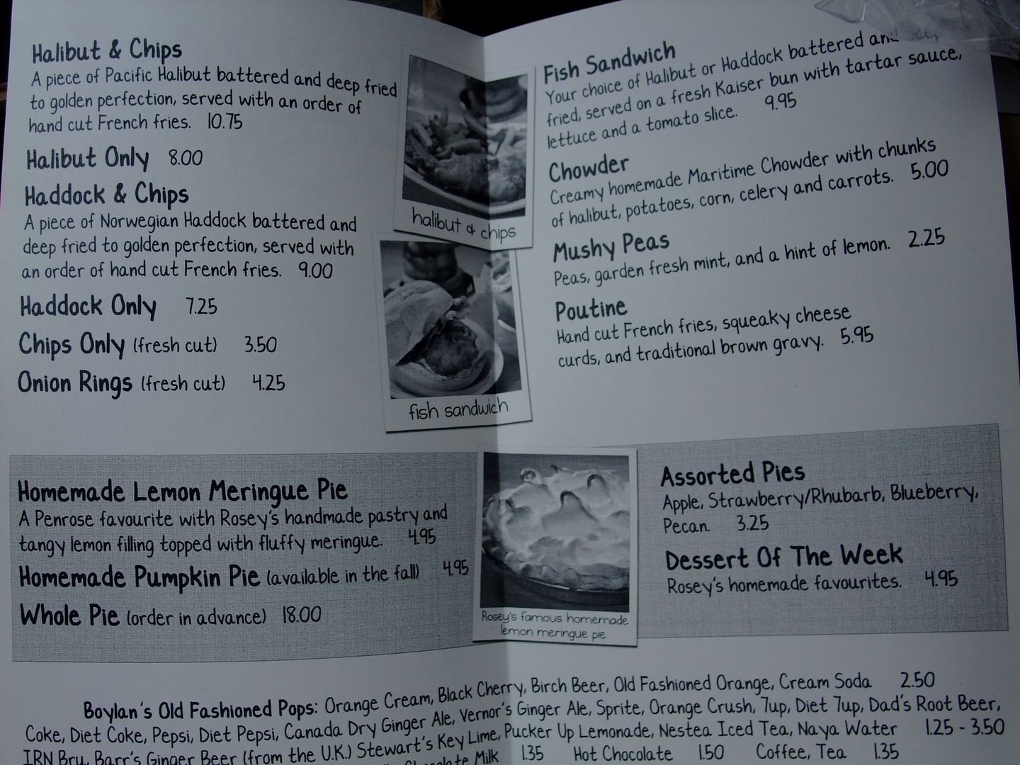
Then. 600 Mt. Pleasant Ave. Penrose Fish and Chips opened in 1950. Still run by the Johnstone family. This looks to be a picture from that era. Probably the only midtown fish and chip place that I know of. I often come here for an order before going to my Goodlife gym a couple of blocks away; much to the chagrin of my family who - bless 'em - are somewhat concerned about my eating habits wiping out potential gains from exercise.")
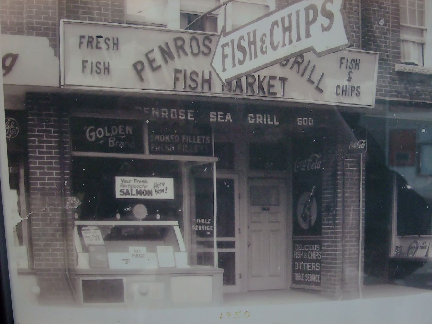
Now. May 2011.
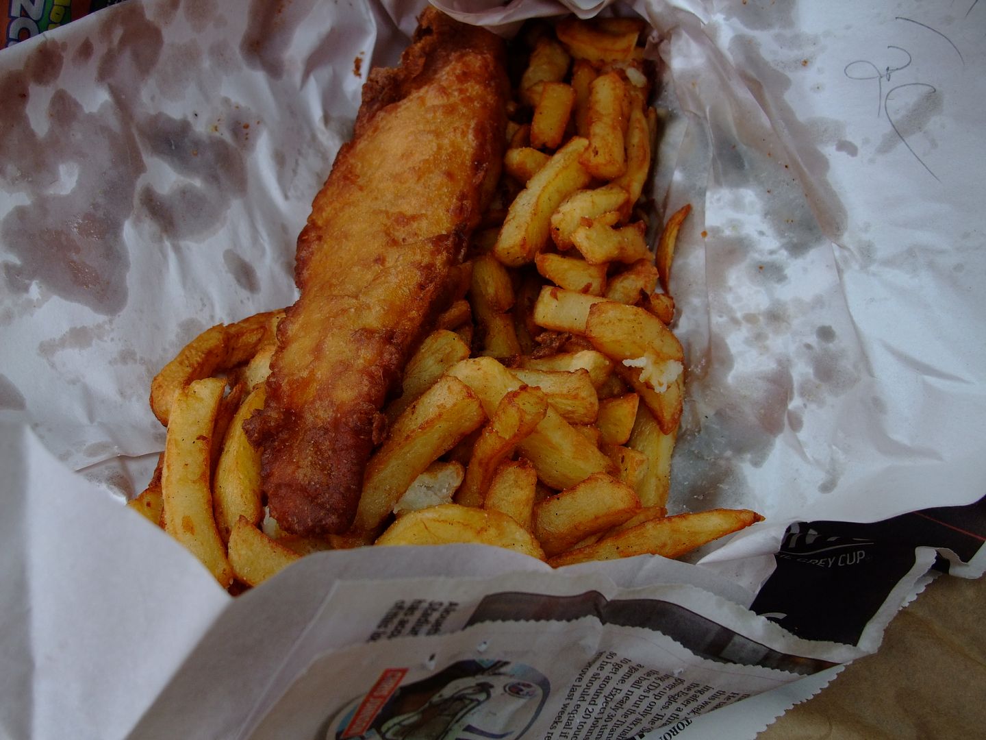
Question for the collective: Does anyone here have experience with fish and chips in the UK? The one time I went - with my son - in London - on the Kilburn High street - the shop left the skin on the fish. Is this the done thing in the UK? Fussy man that my son is, he carefully picked the skin away. No way I'm going to introduce him to canned sardines or anchovies.
Then. 600 Mt. Pleasant Ave. Penrose Fish and Chips opened in 1950. Still run by the Johnstone family. This looks to be a picture from that era. Probably the only midtown fish and chip place that I know of. I often come here for an order before going to my Goodlife gym a couple of blocks away; much to the chagrin of my family who - bless 'em - are somewhat concerned about my eating habits wiping out potential gains from exercise.
Now. May 2011.
Question for the collective: Does anyone here have experience with fish and chips in the UK? The one time I went - with my son - in London - on the Kilburn High street - the shop left the skin on the fish. Is this the done thing in the UK? Fussy man that my son is, he carefully picked the skin away. No way I'm going to introduce him to canned sardines or anchovies.
Mustapha
Senior Member
Went down to the Waste Transfer station at Commissioners and Bouchette streets today. They cheerfully replaced for free my green food waste bucket (busted lid lock) with a new one. The raccoons in my area have figured out how the lock works so I don't know why I even bothered. They'll also take old cans of paint, etc., the waste transfer station, that is.
GenerationW
Senior Member
Suddenly I'm hungry.
Mustapha
Senior Member
Fleet River in London UK. A sort of Then and Now.
http://www.kuriositas.com/2011/07/fleet-londons-underground-river.html
http://www.kuriositas.com/2011/07/fleet-londons-underground-river.html