thecharioteer
Senior Member
July 22 Then and Now.
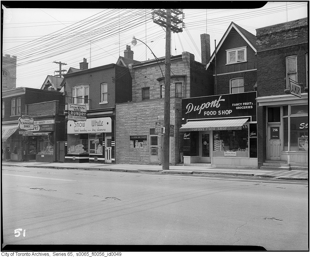
Then. "Avenue Rd. Looking S towards Dupont. 1909?"
Interesting what a vibrant commercial strip this once was - almost a village.
Quite right. As attractive as the two parkettes are at Macpherson and Dupont, the village that once existed there would have been a great asset to the neighbourhood.
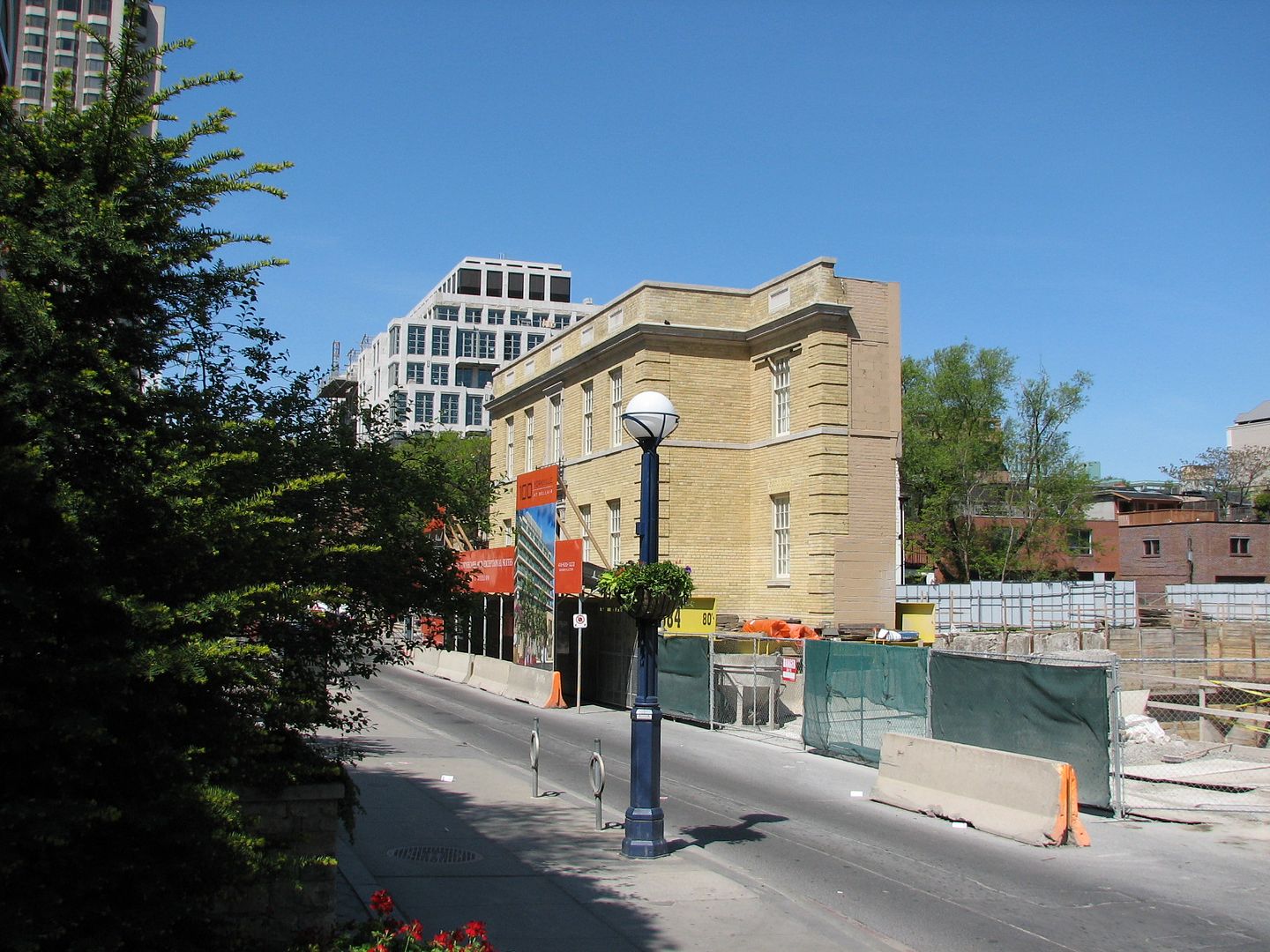
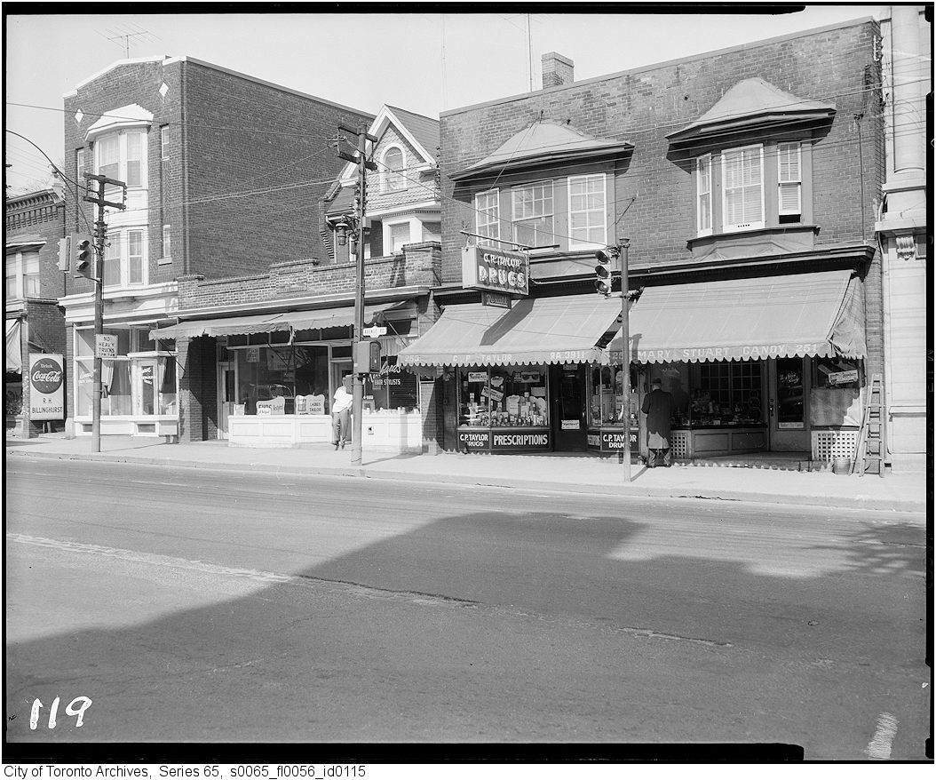
1959, pre-widening, west side of Avenue Road north of Dupont:
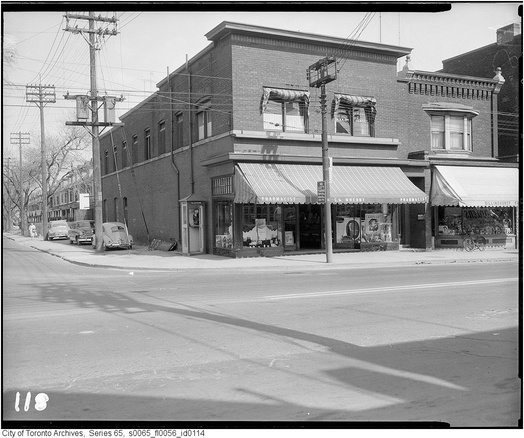
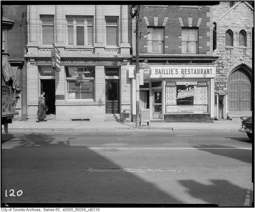
East side from Macpherson southerly:
") ]:
]: