


wwwebster
Active Member
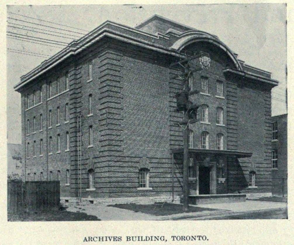
Then. "Archives Building, Toronto." c1918.
Specifically, the Canadian Bank of Commerce Archives Building. Sorry, I forgot that part.
")
|
|
|
Then. "Archives Building, Toronto." c1918.
And where is it?
, 98 Atlantic Avenue. Thank you thecharioteer.Then and Now for March 6.
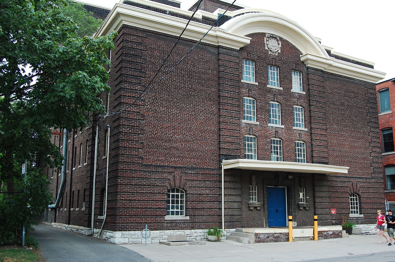
Then. "Archives Building, Toronto." c1918. 98 Atlantic Avenue. Another day, another thanks to wwwebster for his efforts in digging these up.
Now. September 2011. Offices for City of Toronto Museums Services Collections and Conservation. Must be a swelterer in there in a heat wave, what with those small windows.
Here's a photographer who has made amazing aerial photos of some submerged towns around the St Lawrence River area.
Many old highways, buildings and artifacts can be seen thru the layer of water.
Look at:
http://louishelbig.com/sunkenvillagesst.html
Specifically, the Canadian Bank of Commerce Archives Building. Sorry, I forgot that part.
 This lens cost me only 50$ and is all metal and glass, no electronics or chips inside.
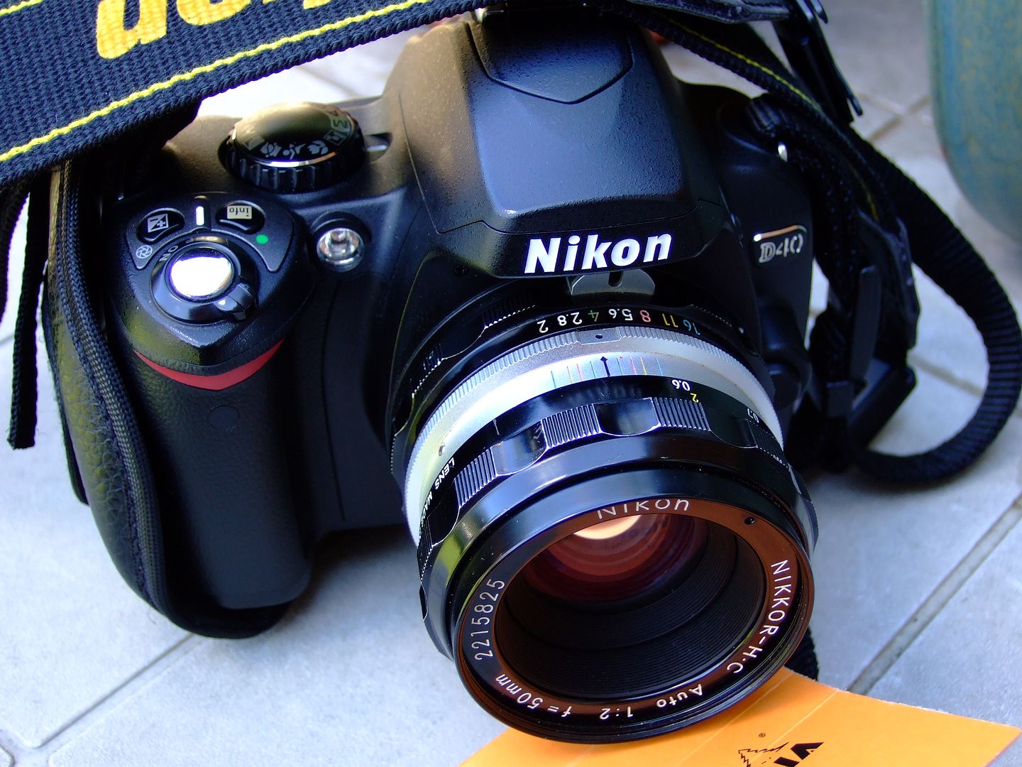
Fine lenses never become obsolete!
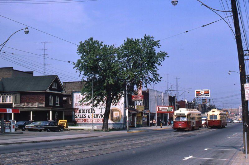
The Danforth Ave. view is from about June-July 1967 and was taken by the ubiquitous Mr. McMann. Locarno Bingo lasted into the 1980s or early 1990s. In the background of the Then view is the old NEW ERA furniture sign, which sort of survives in the Now view on the side of the large building at Sibley Ave. Interestingly, the Leon's store across from Luttrell Ave. is still listed as "Leon's New Era" in their flyers.
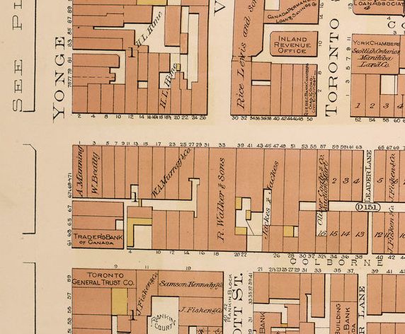
We've often looked at comparisons on this thread of old buildings replaced by new buildings. We've seen buildings vanish as streets get widened or linked (Bay/Terauley, Davenport, Dundas). We've seen blocks vanish for new roads (Bay/Terauley, University, Mt. Pleasant). Some of these "ghost" buildings (such as the Princess Theatre which would be in the middle of the King/University intersection) can even be imagined on foggy nights.
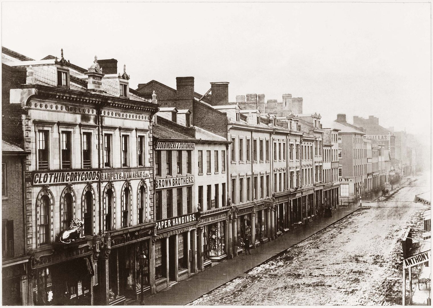
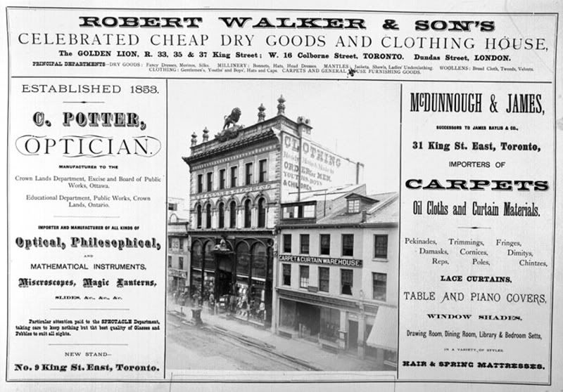
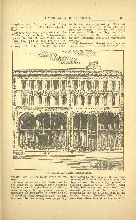
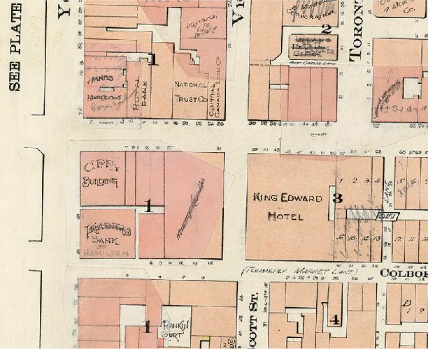
One such ghost building wasThe Golden Lion at 33-37 King Street East, which vanished in 1901 when Victoria Street was extended southerly to Colborne (at the time of the construction of the King Edward Hotel). Once one of the premier early department stores in Victorian Toronto, its passing also symbolized the transition of King Street from its Georgian/Victorian scale to the new world of Edwardian "heft" and early skyscrapers (required reading: Patterns of the Past Dundurn Press 1988, chapter titled: "Streetscape and Society: The Changing Built Environment of King Street Toronto" by Gunther Gad and Deryk W. Holdsworth).
1857; The Golden Lion at left before alterations:
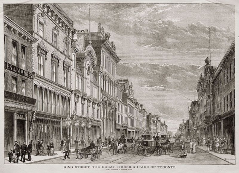
1880:
Middle left:
On the right:
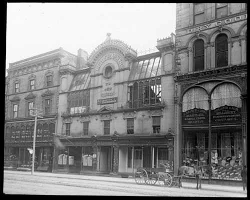
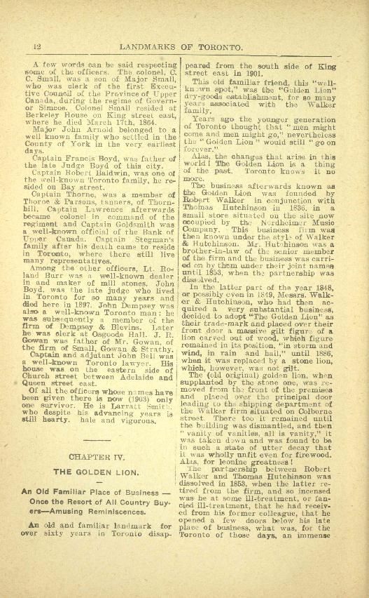
From Landmarks of Toronto
1890:
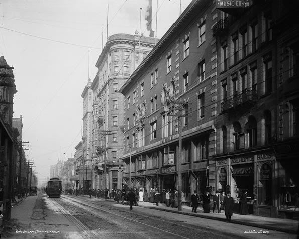
1910:
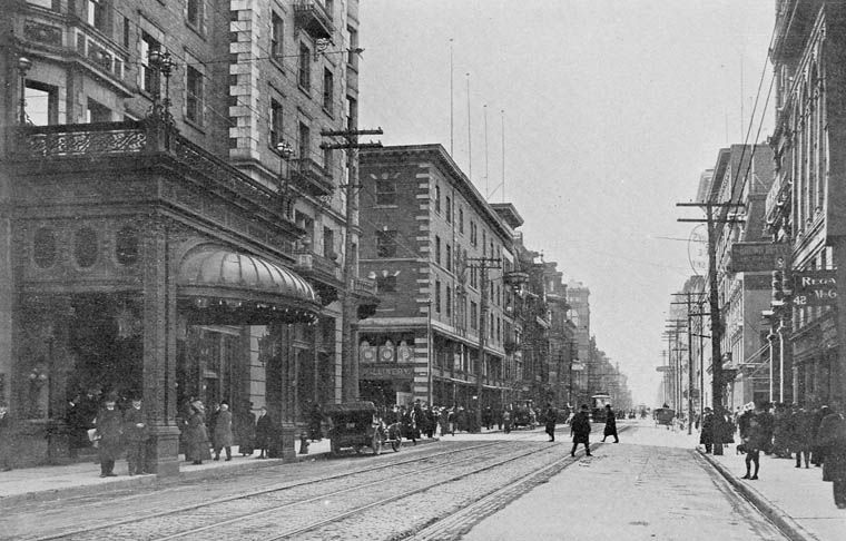
1907 The Golden Lion gone;
I just joined Urban Toronto and am so grateful. Working on a project at UofT on toronto's history...Could anyone please help with photos of King Street WEST in the 1850s??


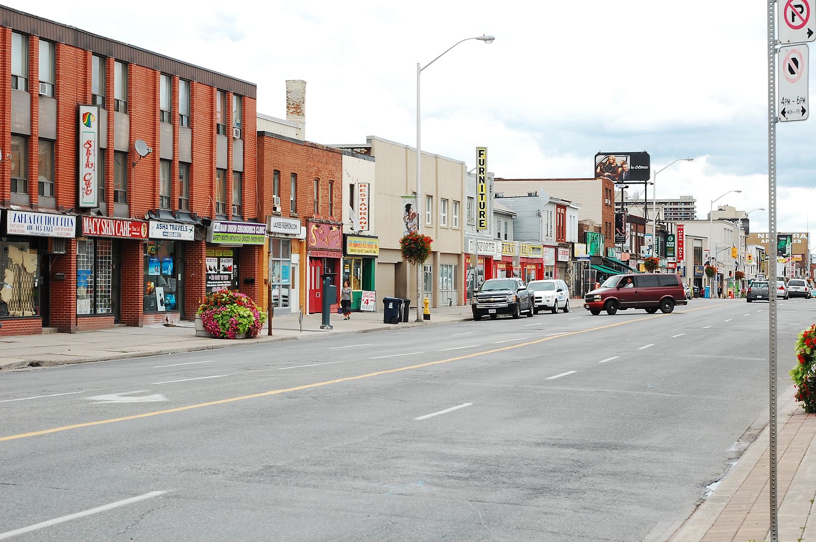
Then and Now for March 7.
Then. Danforth just E of Main looking E.
Now. September 2011. I do believe that the row of 1970s stores stands where the tree and old house stood in the Then photo.


